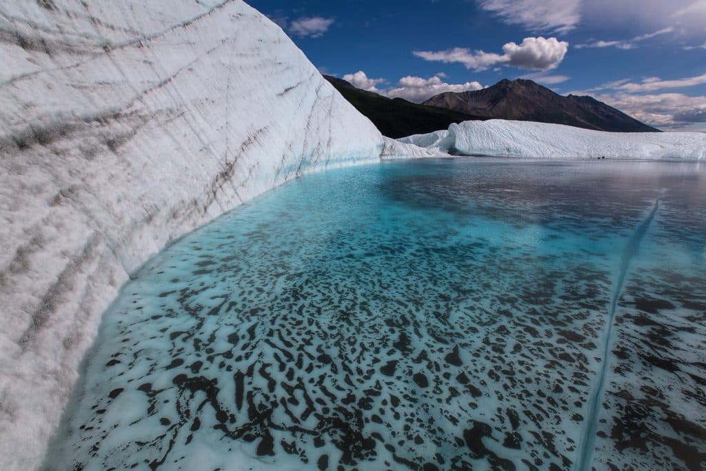
Slana Ranger Station in Wrangell-St. Elias National Park

Ranger station · Wrangell-St. Elias National Park

Slana Ranger Station

Your Nabesna Road gateway for permits, intel, and summer basics

Photo: National Park Service
Type
Ranger station
Audio stories
2 nearby
  • Restrooms
  • Parking
  • Exhibit
  • Trailhead

Hear the audio tour

Slana Ranger Station: Your Nabesna Road Mission Control

Overview

About Slana Ranger Station

Think of Slana Ranger Station as your Nabesna Road launch pad. It’s at Mile 0.5 of Nabesna Road, just off the Tok Cutoff, and it’s the northern hub for Wrangell–St. Elias trip planning. In summer (mid-May to mid-September) it’s open daily 9 am–5 pm; it’s closed the rest of the year, with winter assistance handled by park headquarters.

Why stop

  • Free permits for designated Nabesna Road trails issued on-site
  • Seasonal restrooms and potable water
  • Rangers share up-to-date road and trail conditions with maps

Heads up

  • Closed October–April; services limited to summer hours
  • No fuel in Slana—fill up in Glennallen, Chistochina, or Tok
If you’re tackling Nabesna Road, this station is the difference between winging it and traveling smart. The rangers’ local knowledge, the permits, and the simple comforts—bathrooms, water, a few exhibits and books—make it a high-value, no-frills stop before the gravel begins.
Parkwolf’s verdictWhy It’s Worth a Stop

Map

Where it is

Loading the Wrangell-St. Elias map
Full map
Ranger stationSlana Ranger Station62.70962, -143.98181
Keep this map with you offline in the Parkwolf app

Local know-how

Tips for visiting Slana Ranger Station

  1. Grab permits and road updates here before committing to Nabesna Road.

  2. If you can’t visit during summer hours, request designated-trail permits by email at least two weeks ahead.

  3. Top off fuel before arriving—there’s no gas in Slana.

  4. Ask about the free Nabesna Road audio tour and any current creek-crossing conditions.

  5. Carry your own water if visiting outside summer; station water is seasonal.

Plan your stop

Before you go

Best time to visit

  • Summer season only for services: mid-May–mid-September, 9 am–5 pm.
  • Stop first thing in the morning to grab permits and the latest road intel before you head out.
  • For wildlife viewing, early and late in the day are your best bets; plan scenic pullout stops to glass.

A park ranger sits on a dash-mounted phone, talking, as Parkwolf’s Tour Guide plays “Army Cutworm Moths: A Grizzly Bear Buffet” on Grand Loop Road below Dunraven Pass in Yellowstone
Parkwolf Tour GuideThe highest, rockiest slopes around here are a summer buffet for grizzly bears.

Wrangell-St. Elias Tour Guide

Your drive to Slana Ranger Station, narrated.

Parkwolf is a GPS audio tour guide for Wrangell-St. Elias National Park. As you drive, it chimes in with what’s ahead: hidden gems, upcoming stops, history, geology, and wildlife, right through your car’s speakers.

See the Wrangell-St. Elias audio tour

Recorded for this place

Slana Ranger Station: Your Nabesna Road Mission Control
Listen
“Coming into view is the Slana Ranger Station, your mission control for the Nabesna Road. If you plan on driving the road, this stop can be the difference between winging it and traveling smart.”

Plays as you drive up to Slana Ranger Station in the Parkwolf Wrangell-St. Elias Tour Guide.

More stories near here in the app

  • Trumpeter Swans of the Slana Wetlands
  • Forests Built to Burn
  • 98 audio storiesacross Wrangell-St. Elias’s roads, triggered by GPS as you drive
  • Wildlife heatmapsfor Grizzly Bear, Moose, Humpback Whale, and 13 more
  • Works offlinemaps, 13 trails, 28 places, and audio download before you lose signal
  • CarPlay readysimple controls built for the drive
★★★★★
“Fantastic app with many points of information… It’s great to just turn on while you’re driving and it gives you an audio tour of the national Park. We love it!!!!”
JMJamesApp Store review
Download Parkwolf on the App StoreGet Parkwolf on Google Play

4.7 from 8,600+ ratings

Guide

More about Slana Ranger Station

What You’ll FindReal-time intel on Nabesna Road conditions, creek crossings, and trail status.
  • Real-time intel on Nabesna Road conditions, creek crossings, and trail status.
  • Free, in-person permits for designated trails off the Nabesna corridor (email requests are possible if you can’t visit during open hours, but allow up to two weeks).
  • Seasonal restrooms (flush and vault) and drinking water.
  • Maps, park newspaper, a small bookstore/gifts, and helpful rangers who can fine-tune your plan.
  • Nearby photo spot and access to local trailheads.
Permits & PracticalitiesIf your route uses designated trails off Nabesna Road, swing in for a free permit.

If your route uses designated trails off Nabesna Road, swing in for a free permit. Can’t make the 9–5 window in summer? You can apply by email—just build in up to two weeks for processing. The station also handles certain subsistence ORV, fishing, and hunting permits.

Nabesna Road BriefingNabesna Road is a 42-mile unpaved adventure with big scenery and a few gotchas: limited…

Nabesna Road is a 42-mile unpaved adventure with big scenery and a few gotchas: limited maintenance, variable creek crossings, and rough stretches that favor high-clearance or 4WD. Cell service is spotty to nonexistent. There’s no fuel in Slana, so top off in Glennallen, Chistochina, or Tok before you roll east. Camping options along the road include primitive waysides with vault toilets and the Kendesnii Campground (picnic tables, fire rings, vault toilets).

Wildlife: Where and How to LookThis corridor can quietly load up on sightings if you take it slow.

This corridor can quietly load up on sightings if you take it slow. Dall sheep appear as white dots high on rocky ridges; moose browse willow bogs and lake margins; bears key in on salmon later in the season. Keep binoculars handy, use pullouts, and scan lake edges, open muskegs, and hillsides. Expect waterfowl like loons and trumpeter swans on lakes. Give wildlife space and enjoy it from the roadside.

Wildlife

Wildlife in Wrangell-St. Elias

All Wrangell-St. Elias wildlife maps

Sighting maps show where each species has been reported across Wrangell-St. Elias. Wildlife moves, so no sighting is guaranteed.

Parkwolf’s Wrangell-St. Elias ranking

Top sights in Wrangell-St. Elias

All 28 places
  1. 1Kennecott Mines National Historic LandmarkSight
  2. 2Root GlacierSight
  3. 3Bagley Ice FieldSight
  4. 4Kennicott GlacierSight
  5. 5Mount St. EliasSight
  6. 6Skolai PassSight

Take Parkwolf to Wrangell-St. Elias.

The audio tour guide for the drive, plus offline maps, trails, and wildlife heatmaps for when the signal drops.

4.7 from 8,600+ ratings

Download Parkwolf on the App StoreGet Parkwolf on Google Play