Parking
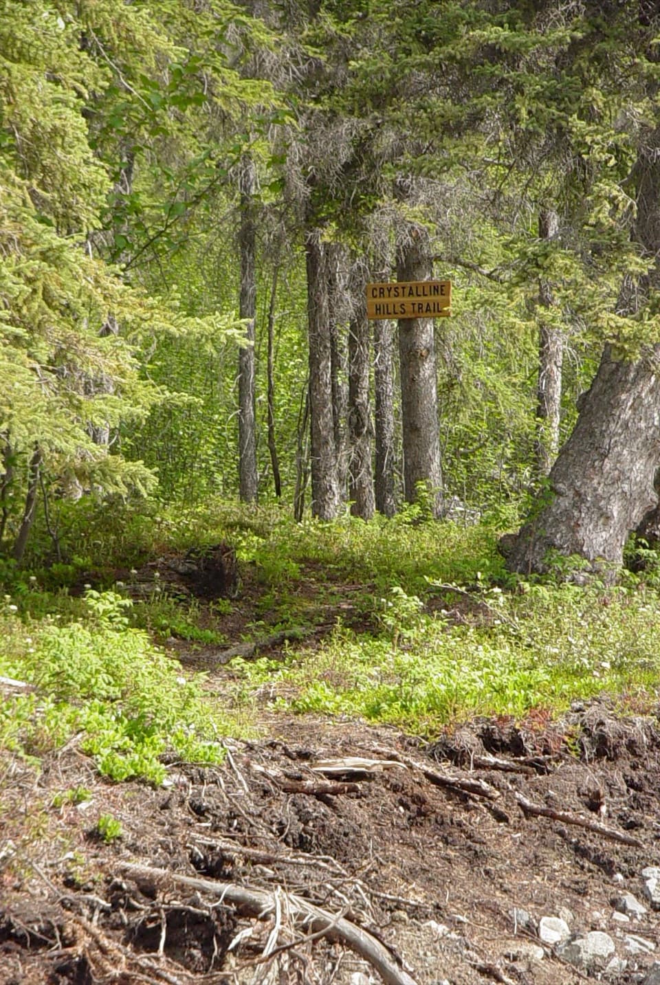
Use Visitor Parking at the Wrangell–St. Elias visitor center in Copper Center. Follow the Boreal Forest Trail to the Valdez Trail junction; the spur has no separate mapped parking area.
Wrangell-St. Elias National Park, AK
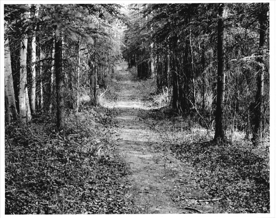
Walk an easy, short piece of the historic Valdez Trail.
Photo: NPS photo, 1996; National Register of Historic Places, Valdez Trail—Copper Bluff Segment
Overview
Map & elevation
Plan your hike

The highest, rockiest slopes around here are a summer buffet for grizzly bears.
Wrangell-St. Elias Tour Guide
Parkwolf is a GPS audio tour guide for Wrangell-St. Elias National Park. As you drive, it chimes in with what’s ahead: hidden gems, upcoming stops, history, geology, and wildlife, right through your car’s speakers.
See the Wrangell-St. Elias audio tourRecorded for this trailhead
Copper Center Visitor Campus“Up ahead is the Wrangell-St. Elias Visitor Center campus in Copper Center. I'd allow an hour or two for the film, exhibits, and a conversation with a ranger about your plans.”
Plays as you drive up to this trailhead in the Parkwolf Wrangell-St. Elias Tour Guide.
“Fantastic app with many points of information… It’s great to just turn on while you’re driving and it gives you an audio tour of the national Park. We love it!!!!”


Trail guide
Valdez Trail is a short gravel spur from the Boreal Forest Trail on the Copper Center visitor-center campus. The mapped segment runs about 0.17 mile one way; walking to its far end and back is roughly 0.33 mile. It is an easy, quick history walk, not the full route toward Fairbanks. The spur heads northwest through forest and ends without a marked destination. For a viewpoint, take the separate Copper River Bluff loop.
Park in Visitor Parking at the Wrangell–St. Elias visitor center, then follow the Boreal Forest Trail to the Valdez Trail branch shown on the campus map. Return along the same spur. The campus map marks restrooms and a picnic shelter near the visitor center; they are at the campus, not along the spur.
The wider Valdez Trail corridor crossed Ahtna land and older Indigenous travel networks. U.S. Army expeditions began laying out a new overland route from Prince William Sound in 1898, and the Valdez–Eagle trail reached Eagle City by 1901. After gold was found in the Tanana Valley in 1902, travelers shifted toward Fairbanks; by 1904 the Valdez–Fairbanks branch had become the main interior route. Much of the old corridor was later covered by highways. This short campus section survived because it was bypassed.
Wildlife
 113 sightingsGrizzly BearMost seen around 9 PMSighting map
 66 sightingsMooseMost seen around 8 PMSighting map
 21 sightingsHumpback WhaleMost seen around 1 PMSighting map
 46 sightingsSteller Sea LionMost seen around 11 AMSighting map
 39 sightingsBlack BearMost seen around 8 PMSighting map
 48 sightingsBald EagleMost seen around 5 PMSighting map
Sighting maps show where each species has been reported across Wrangell-St. Elias. Wildlife moves, so no sighting is guaranteed.
Keep exploring
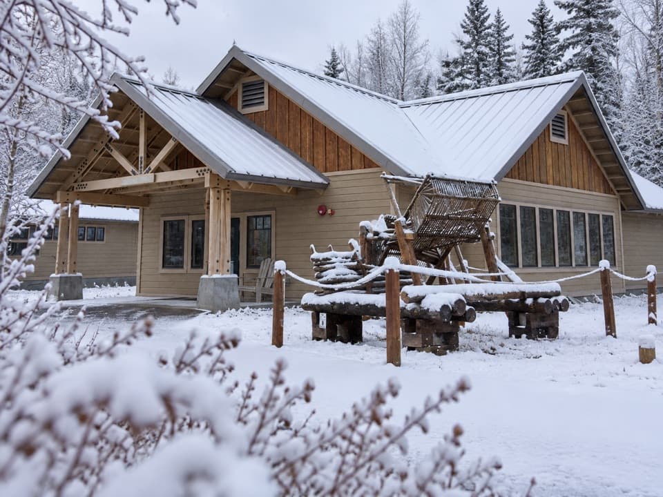 Sight · 0.2 mi awayAhtna Cultural CenterAn Ahtna museum with a hand-built fish wheel outside.
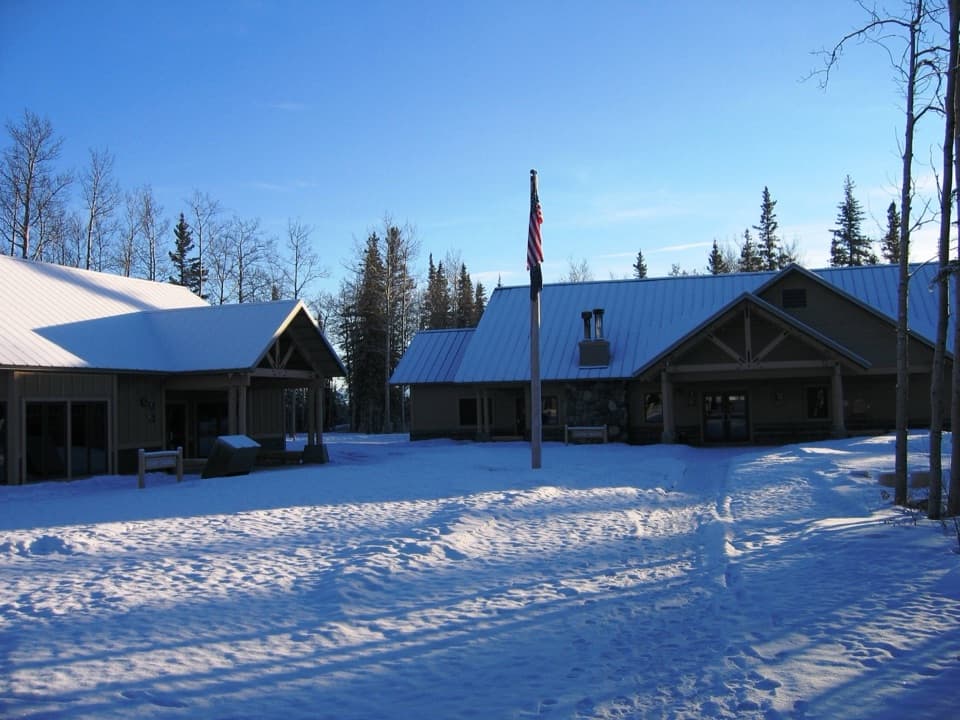 Visitor center · 0.3 mi awayWrangell–St. Elias Visitor CenterA smart first stop for exhibits, a film and ranger advice.
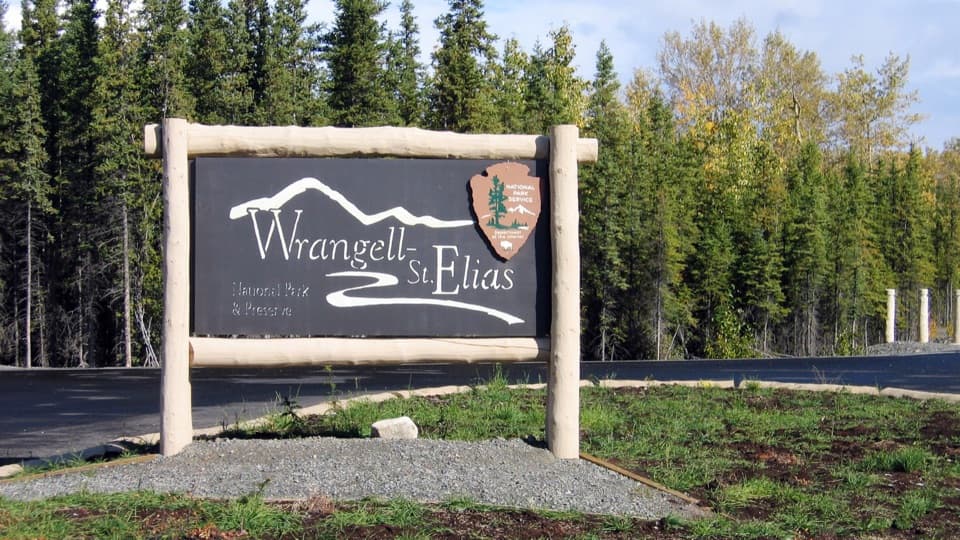 Sight · 0.3 mi awayWrangell–St. Elias Park SignA park-sign photo framed by a mountain-and-river mark.
Parkwolf’s Wrangell-St. Elias ranking

The audio tour guide for the drive, plus offline maps, trails, and wildlife heatmaps for when the signal drops.