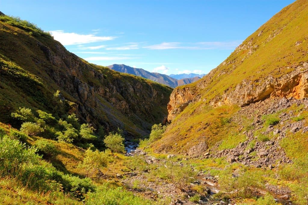
Challenging

Jumbo Mine Trail

Hard climb to Kennecott’s abandoned Jumbo Mine with huge glacier views
Jumbo Mine Trail, Wrangell-St. Elias National Park
Distance10 mi
Typical time8.5 hr
DifficultyChallenging
PetsAllowed

Overview

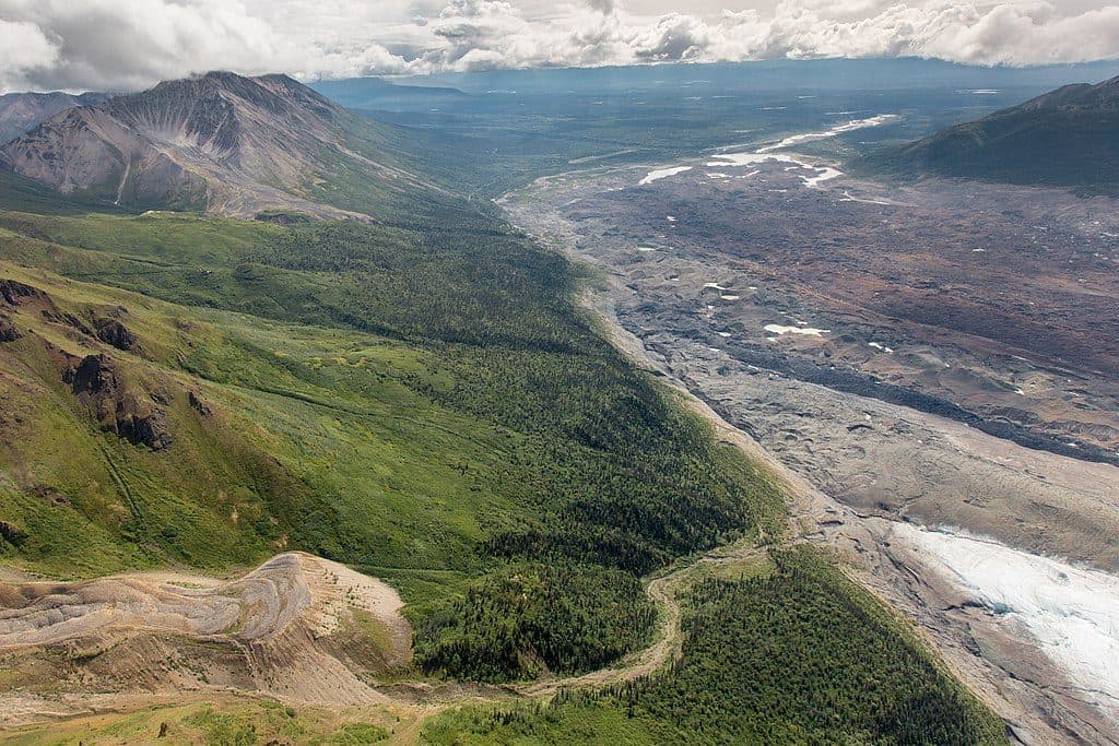
This is a demanding, history-soaked climb from the Kennecott mill town up to the ruins of the Jumbo Mine, perched thousands of feet above the valley. Expect a full-day effort on rugged terrain with massive views of the Kennicott Valley, Root Glacier, and the glaciated Chugach skyline. Total distance is roughly 10 miles round trip, with around 3,800–4,000 feet of sustained elevation gain.

Route Snapshot

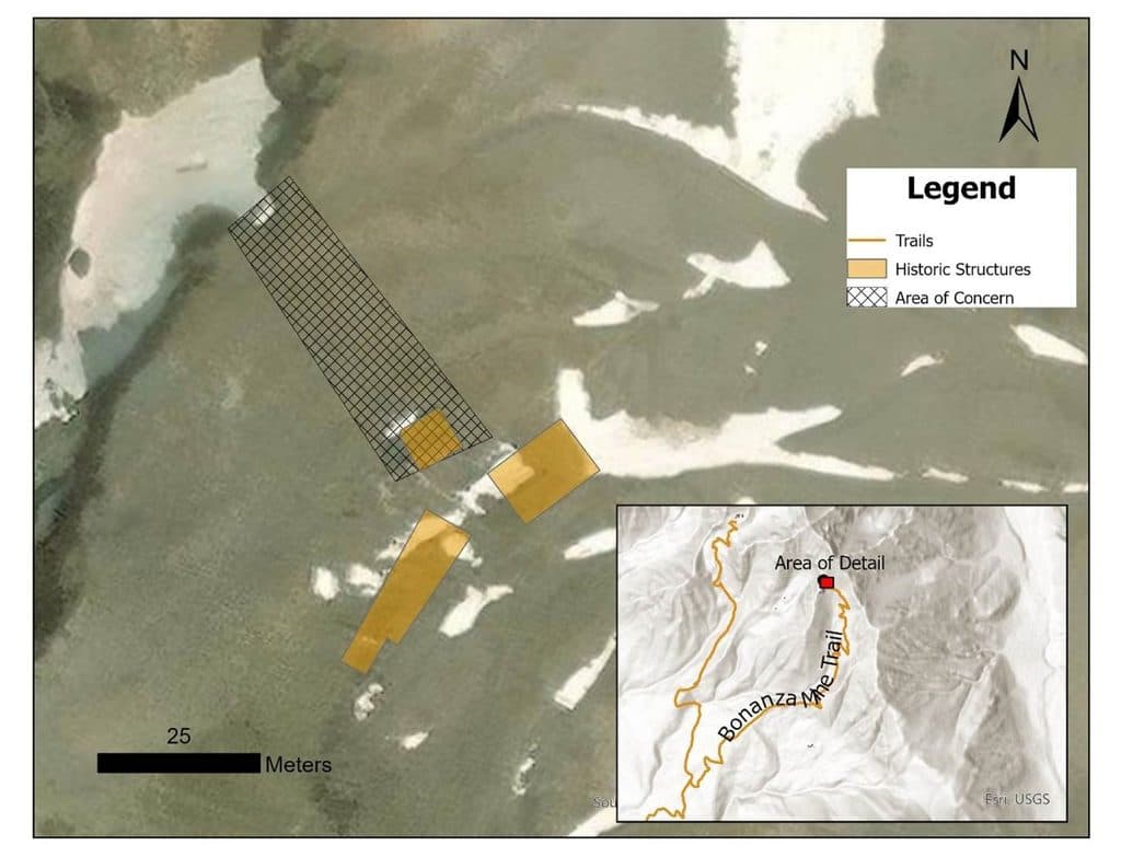
From Kennecott, follow the Root Glacier Trail for about half a mile to a signed junction for Bonanza and Jumbo. Climb an old mining road for roughly an hour to another signed split; take the smaller road left toward Jumbo. You’ll ford or rock-hop Bonanza Creek (wet feet possible depending on season), then tackle a steep ascent past the old Jumbo Transfer Station. Near the top, the path can fade into scree. Use the line of old tram cables as your handrail up a limestone slope to reach the crumpled mine structures. Much of the site was built on a rock glacier, and decades of slow movement have twisted buildings into evocative ruins.

What You’ll See

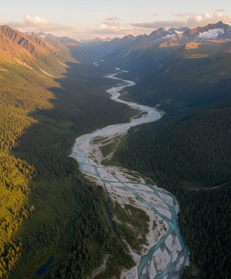
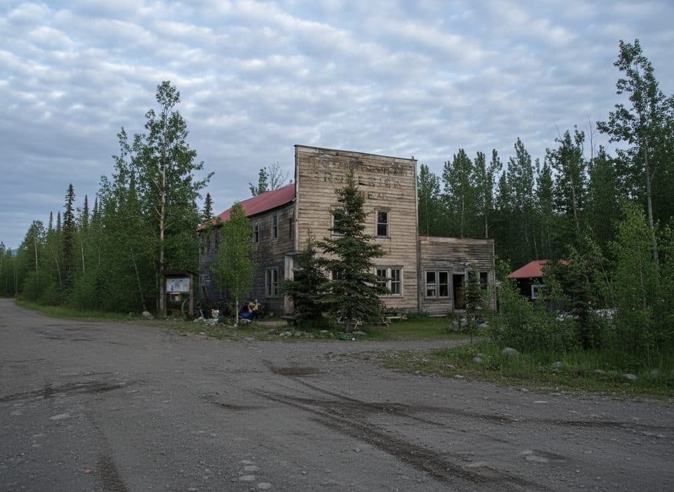
This hike is all about big-country scenery and tangible mining history. You’ll look down on the sinuous ice of Root Glacier and across to austere peaks, with Castle Rock looming near the mine site. The approach itself is a time capsule—old roads, relics, and scattered tools—ending at a dramatic ruin field that tells the story of industry meeting ice.

History & Geology

Jumbo was one of the original Kennecott copper claims and was abandoned in 1938. Uniquely, its structures sat on a rock glacier: a body of angular debris frozen and slowly carried downhill by gravity. That restless foundation is why the buildings look the way they do today.

Difficulty & Who It’s For

This is a strenuous, advanced day: steep grades, loose rock, a creek crossing, and intermittent route-finding near the top. If you’re comfortable with big elevation and uneven footing, the payoff is superb; if not, consider turning around at the transfer station or going with a guide.

Best Time to Hike

Aim for summer when the McCarthy/Kennecott area is accessible and guided Jumbo hikes typically run mid-June to mid-August. Start early for a long day and steadier light on the ice; weather shifts quickly in the high country.

Tips & Logistics

  • Footwear and poles matter here: think sturdy boots with ankle support and trekking poles for the scree and creek crossing.
  • Pack layers, extra food, and plenty of water—exposure and effort add up.
  • The trail grows indistinct near the mine; look for the tram cables as your visual cue.
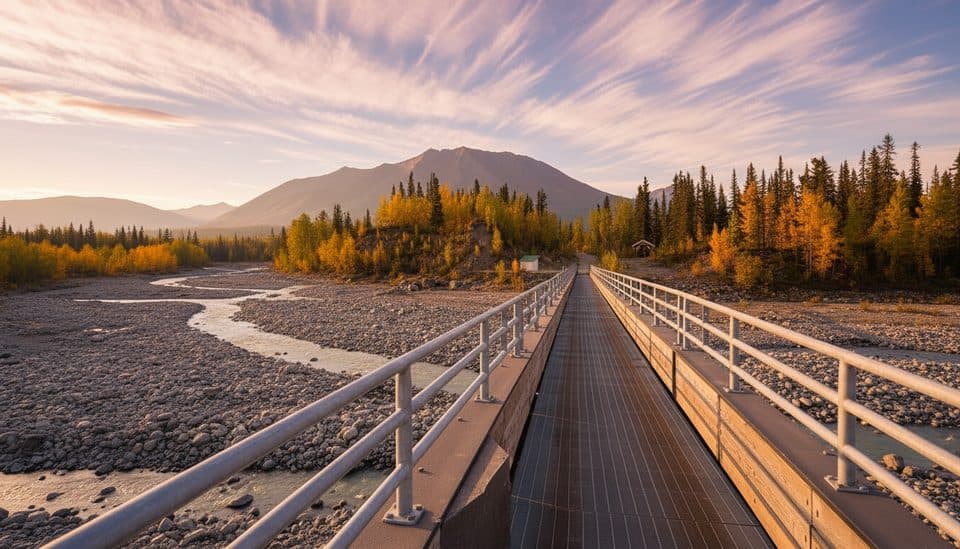
  • Access is via McCarthy Road (a 63-mile dirt road) to a footbridge; from there, walk or shuttle to Kennecott to start the hike.
  • If you want more context or a safety net on navigation, local guides in Kennecott/McCarthy offer this route in season.

Alternatives & Add-ons

The initial junction also serves the Bonanza route; strong hikers sometimes choose one mine per day. Pairing this hike with time exploring the Kennecott mill town deepens the story you see at Jumbo.

Pros

  • Rare chance to explore mine ruins built on a moving rock glacier
  • Huge vantage over Root Glacier and the Kennicott Valley with real sense of scale

Cons

  • Trail can fade into scree near the top, requiring careful route-finding
  • Bonanza Creek crossing can mean wet feet depending on flow

Parking

Drive the 63-mile McCarthy Road to the end and park near the footbridge. Cross on foot, then walk or take the local shuttle to Kennecott. The hike begins in Kennecott on the Root Glacier Trail to the signed Bonanza/Jumbo junction.

Caution

Steep, sustained climbing on loose rock and scree; sections over a rock glacier; creek crossing; intermittent route-finding near the mine; remote setting with rapidly changing mountain weather. Go prepared or consider a guide.

The Parkwolf tour guide sitting on a phone mounted in a car

Parkwolf Tour Guide

Like a tour guide in your car.

Bring Wrangell-St. Elias trail research into the car, with offline maps and stories that play as you drive.Download Parkwolf on the App Store