Parking
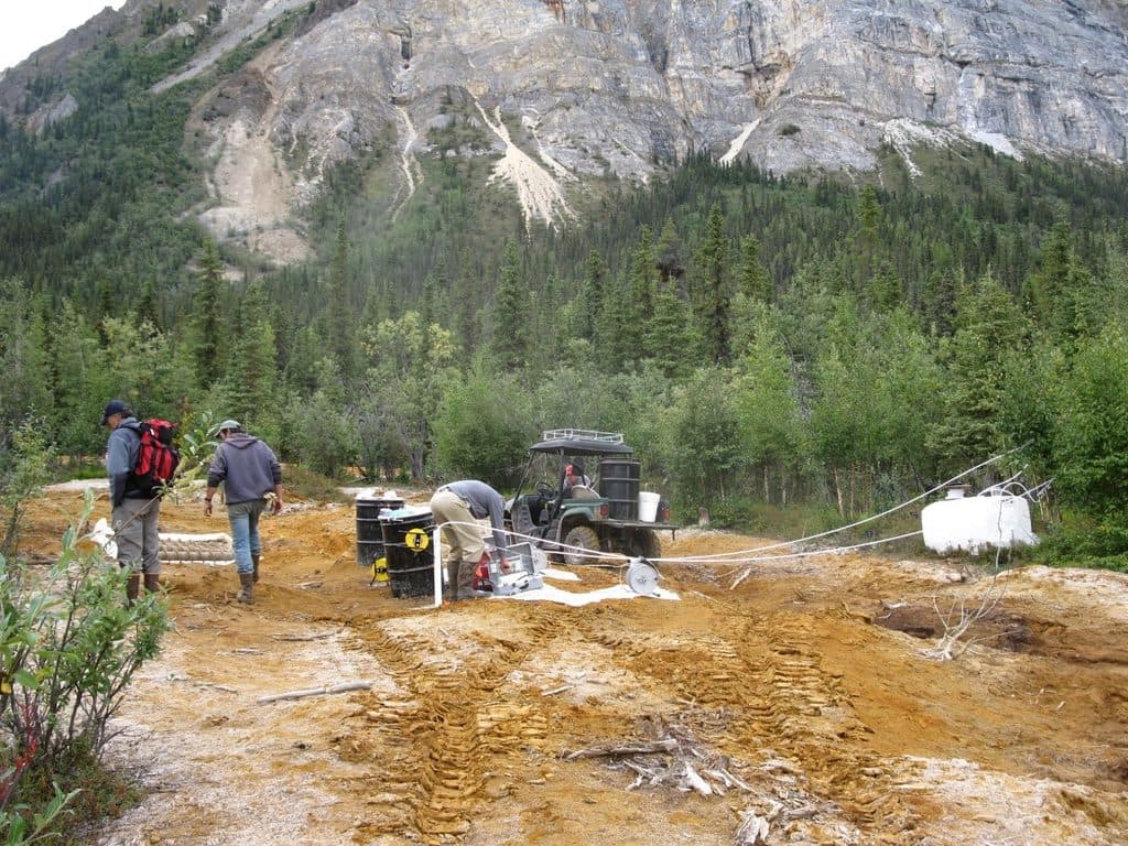
Parking is available at the Skookum Volcano trailhead at Mile 36.2 on Nabesna Road. Nabesna Road is remote and unpaved; high-clearance four-wheel drive is recommended, and visitors should check with the Slana Ranger Station before travel.
#2 of 13 trails in Wrangell-St. Elias
Wrangell-St. Elias National Park, AK
Remote volcanic pass hike with creek crossings and route-finding
Overview
Skookum Volcano Trail is a remote out-and-back from Nabesna Road to a high pass in an extinct, deeply eroded volcanic landscape. The National Park Service describes the route as 2.5 miles one-way, or about 5.0 miles for the full return hike. Plan on roughly 3.5–4 hours, allowing extra time for rough footing and route finding.
Map & elevation
Plan your hike

The highest, rockiest slopes around here are a summer buffet for grizzly bears.
Wrangell-St. Elias Tour Guide
Parkwolf is a GPS audio tour guide for Wrangell-St. Elias National Park. As you drive, it chimes in with what’s ahead: hidden gems, upcoming stops, history, geology, and wildlife, right through your car’s speakers.
See the Wrangell-St. Elias audio tourRecorded for this trailhead
Skookum Volcano Trail“Ahead is the trailhead for the Skookum Volcano Trail, a hike that really showcases the area's volcanic past. This is a tough out-and-back that climbs up and over a volcanic pass.”
Plays as you drive up to this trailhead in the Parkwolf Wrangell-St. Elias Tour Guide.
More stories near here in the app
“Fantastic app with many points of information… It’s great to just turn on while you’re driving and it gives you an audio tour of the national Park. We love it!!!!”


Trail guide
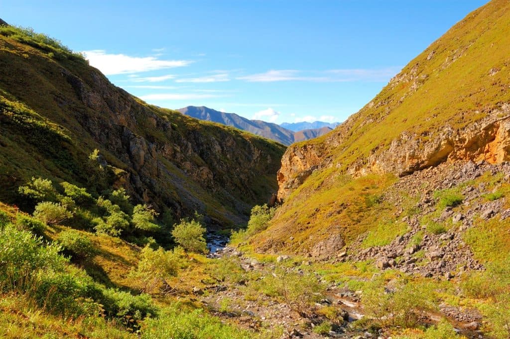
The mapped corridor climbs from the road through spruce and alder before following a rocky, stream-influenced drainage toward the pass. Cairns and natural benches help, but the route can be indistinct where it crosses or follows the creek. The upper route becomes steeper and rougher on tundra and loose rock. This is an out-and-back: the stored line follows the physical corridor once from the trailhead to the pass, while the listed distance includes the return.
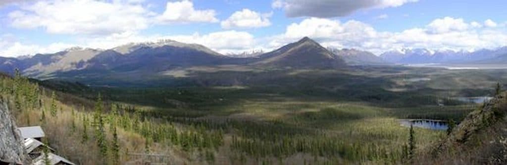
The trail enters the Skookum Creek Volcano landscape, where ash flows and lava produced tan, gray, pinkish-tan, and rust-colored volcanic layers. The high pass is around 4,800 feet above sea level and opens broad views toward the Wrangell Mountains.
Download an offline map and expect route-finding in sections where the trail fades into the creek bed. Creek crossings can be wet or difficult after rain or snowmelt, and weather can change quickly near the pass. Carry adequate food and water, hike with a partner when possible, and be prepared to turn around if conditions exceed your experience.
The trailhead is at Mile 36.2 on Nabesna Road, with parking at the trailhead. Nabesna Road is a remote, unpaved 42-mile road that can have rough sections and washouts; high-clearance four-wheel drive is recommended. Check with the Slana Ranger Station for current road information before setting out.
The pass provides access to additional backcountry travel, but routes beyond the named trail are not part of this recorded hike and require stronger navigation and wilderness skills.
Wildlife
 112 sightingsGrizzly BearMost seen around 9 PMSighting map
 63 sightingsMooseMost seen around 8 PMSighting map
 21 sightingsHumpback WhaleMost seen around 1 PMSighting map
 46 sightingsSteller Sea LionMost seen around 11 AMSighting map
 37 sightingsBlack BearMost seen around 8 PMSighting map
 48 sightingsBald EagleMost seen around 5 PMSighting map
Sighting maps show where each species has been reported across Wrangell-St. Elias. Wildlife moves, so no sighting is guaranteed.
Keep exploring
 ChallengingTrail Creek- Lost Creek Loop22.5 mi · 1.3 days · 4.9 mi awayStrenuous off-trail loop over a 6,000-foot pass between Trail and Lost CreeksChallengingSoda Lake Trail29 mi · 1 day · 5 mi awayRemote 29-mile round trip to a landslide-dammed lake via creek crossings, tundra, and route-finding.
 ModerateRambler Mine Trail1.5 mi · 1.8 hr · 5.2 mi awayShort, steep hike from Nabesna Road to historic mine ruins and valley views
Parkwolf’s Wrangell-St. Elias ranking

The audio tour guide for the drive, plus offline maps, trails, and wildlife heatmaps for when the signal drops.