Parking
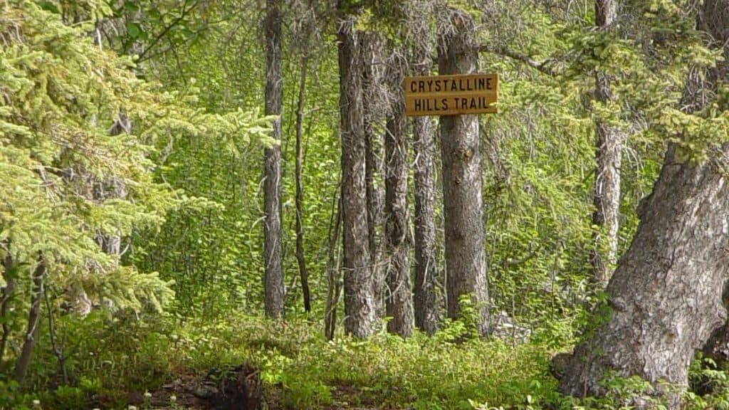
Small pullout on the north side of McCarthy Road at mile 34.8; look closely for the wooden trail sign.
#8 of 13 trails in Wrangell-St. Elias
Wrangell-St. Elias National Park, AK
A moderate loop through dense forest to a waterfall and optional views near McCarthy Road.
Overview
Crystalline Hills Trail is a moderate loop of roughly 2.8 miles near mile 34.8 of McCarthy Road. The route climbs gradually from the road through dense spruce and birch forest, reaches a waterfall and a short side trail to a viewpoint, then loops back along the base of the steep Crystalline Hills. Allow about 2-3 hours for the full loop.
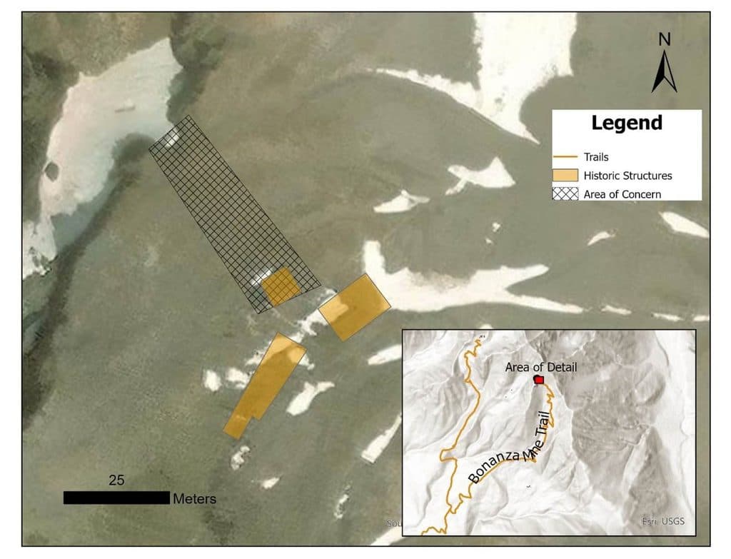
Map & elevation
Plan your hike

The highest, rockiest slopes around here are a summer buffet for grizzly bears.
Wrangell-St. Elias Tour Guide
Parkwolf is a GPS audio tour guide for Wrangell-St. Elias National Park. As you drive, it chimes in with what’s ahead: hidden gems, upcoming stops, history, geology, and wildlife, right through your car’s speakers.
See the Wrangell-St. Elias audio tourMore stories near here in the app
“Fantastic app with many points of information… It’s great to just turn on while you’re driving and it gives you an audio tour of the national Park. We love it!!!!”


Trail guide
The trailhead is on the north side of McCarthy Road. After about half a mile, a short side trail leads to a nice view. The main loop continues through the forest and returns along the base of the hills. The strongest views of the Chitina River valley, Moose Lake, and the Chugach Mountains require optional scrambling above the maintained loop; those steep slopes are not part of the mapped loop.
The wooded route can be buggy in summer, so bug spray is recommended. Look closely for the wooden trail sign because the trailhead is easy to miss while driving. If you leave the maintained loop to scramble, expect steep, loose ground and use appropriate footwear. The Crystalline Hills are also a good place to watch for Dall sheep. Dogs are allowed on leash; pack out waste and respect wildlife.
Wildlife
 112 sightingsGrizzly BearMost seen around 9 PMSighting map
 63 sightingsMooseMost seen around 8 PMSighting map
 21 sightingsHumpback WhaleMost seen around 1 PMSighting map
 46 sightingsSteller Sea LionMost seen around 11 AMSighting map
 37 sightingsBlack BearMost seen around 8 PMSighting map
 48 sightingsBald EagleMost seen around 5 PMSighting map
Sighting maps show where each species has been reported across Wrangell-St. Elias. Wildlife moves, so no sighting is guaranteed.
Keep exploring
Parkwolf’s Wrangell-St. Elias ranking

The audio tour guide for the drive, plus offline maps, trails, and wildlife heatmaps for when the signal drops.