
Place · 0 mi away
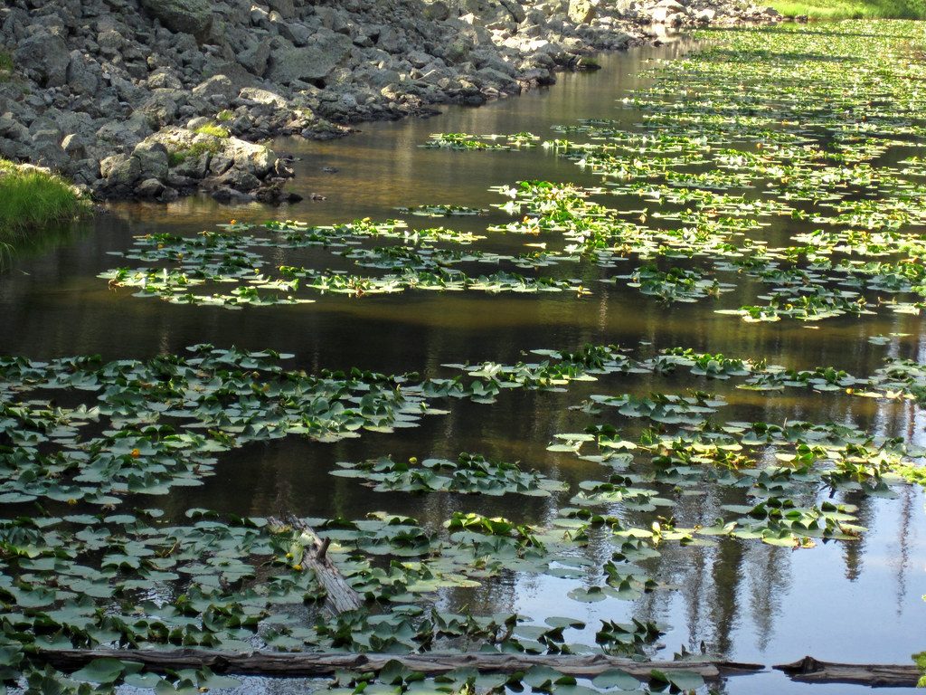
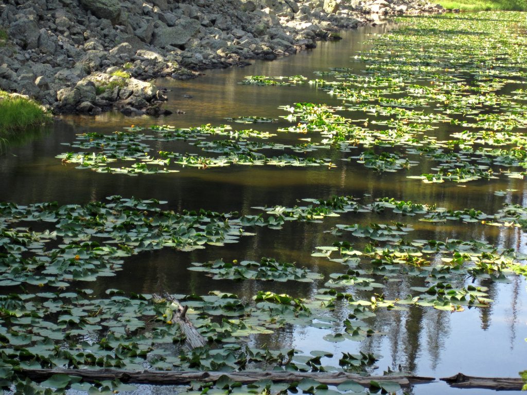
Craig Pass is a high point on the Grand Loop Road (8,262 ft) between Old Faithful and West Thumb, about 8 miles east of Old Faithful. It’s a quick roadside stop right on the Continental Divide, with a small turnout by tiny Isa Lake just west of the pass.
This is one of Yellowstone’s neat hydrology oddities: Isa Lake straddles the Continental Divide and sends water to two different oceans. The lake’s east side drains to the Lewis River → Snake → Columbia → Pacific, while the west side drains to the Firehole → Madison → Missouri → Mississippi → Gulf of Mexico. It’s a fun, brain-twisting moment to stand by a pond and think about two faraway coasts.
The pass was named by engineer Hiram Chittenden for Ida M. Craig (Wilcox), reportedly the first tourist to cross after the road was finished in September 1891.
Think simple: a Continental Divide sign, Isa Lake just beyond, and small roadside pullouts. There are no developed facilities—no restrooms, water, food, or fuel—so treat this as a short photo-and-read-the-signs stop.
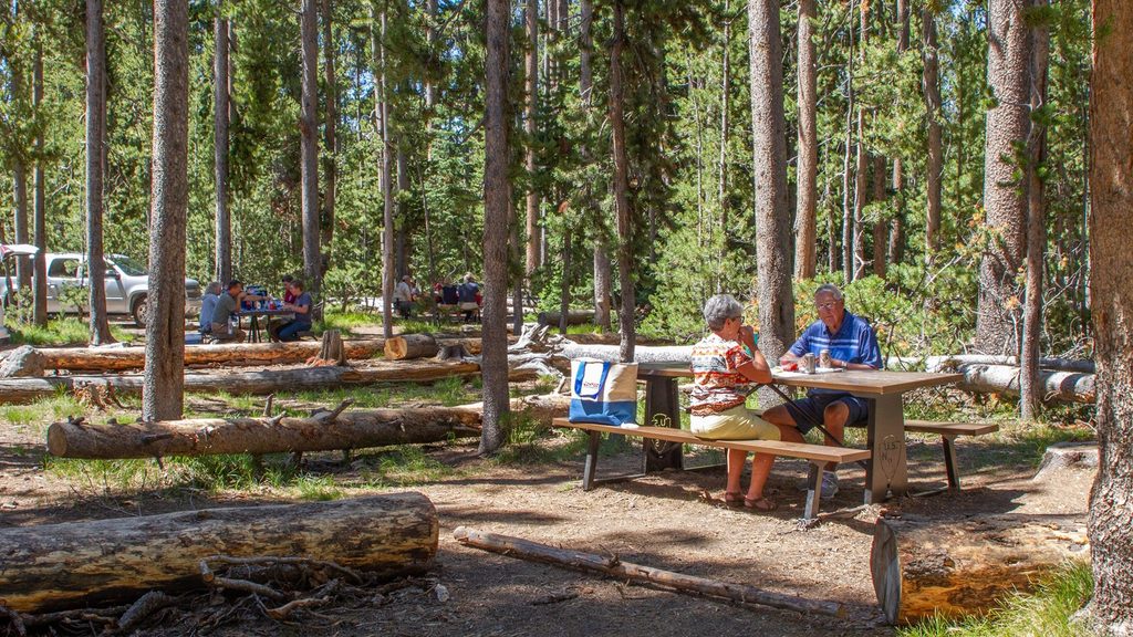
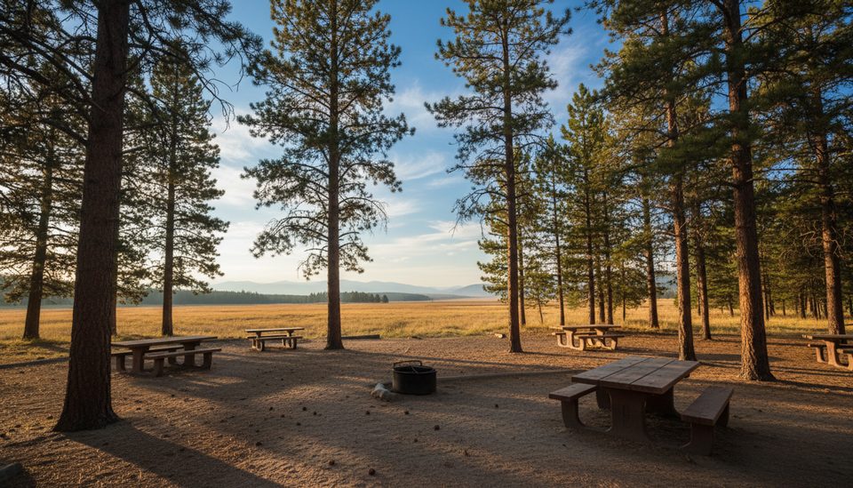
If you need a bathroom or picnic spot, use nearby picnic areas along this corridor:
Most picnic areas have vault toilets and no running water; only Madison picnic area (farther away) has potable water. Gas stoves are fine anywhere; campfires only where fire grates are provided. If you specifically need fire grates, look to developed areas like Grant Village. Camping is not allowed in picnic areas.
You’ll cross Craig Pass whenever you drive between Old Faithful and West Thumb. Roads are generally open much of the year but can close during winter storms—conditions change fast at this elevation, so check status and carry layers. At 8,262 feet, take it easy if you’re not acclimated.
Use pullouts—don’t stop in the travel lane—and give wildlife plenty of space. This is quick-stop territory, not a place to linger on the shoulder.
Stop when your route takes you between Old Faithful and West Thumb. For an easy photo, use the Isa Lake/Continental Divide turnout. In wintery weather, road closures are possible—verify conditions before you go.
Place · 0 mi away
Place · 1 mi away
Place · 1.8 mi away
Place · 3.8 mi away
Easy · 3.3 mi away
Easy · 4.2 mi away
Easy · 5.4 mi away
Easy · 5.5 mi away

Parkwolf Tour Guide
