
Place · 0 mi away
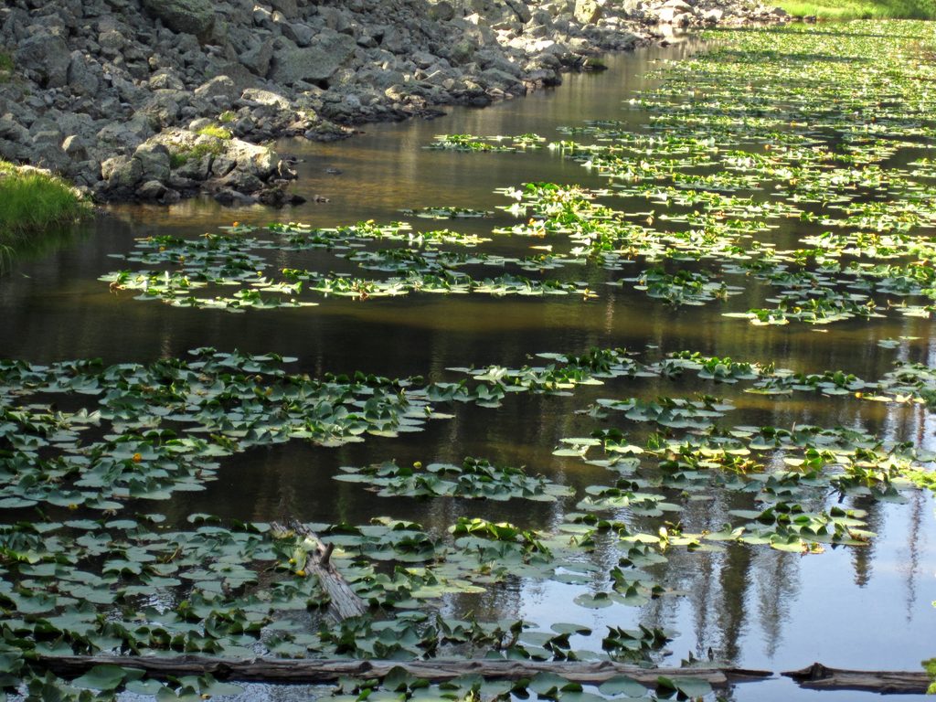
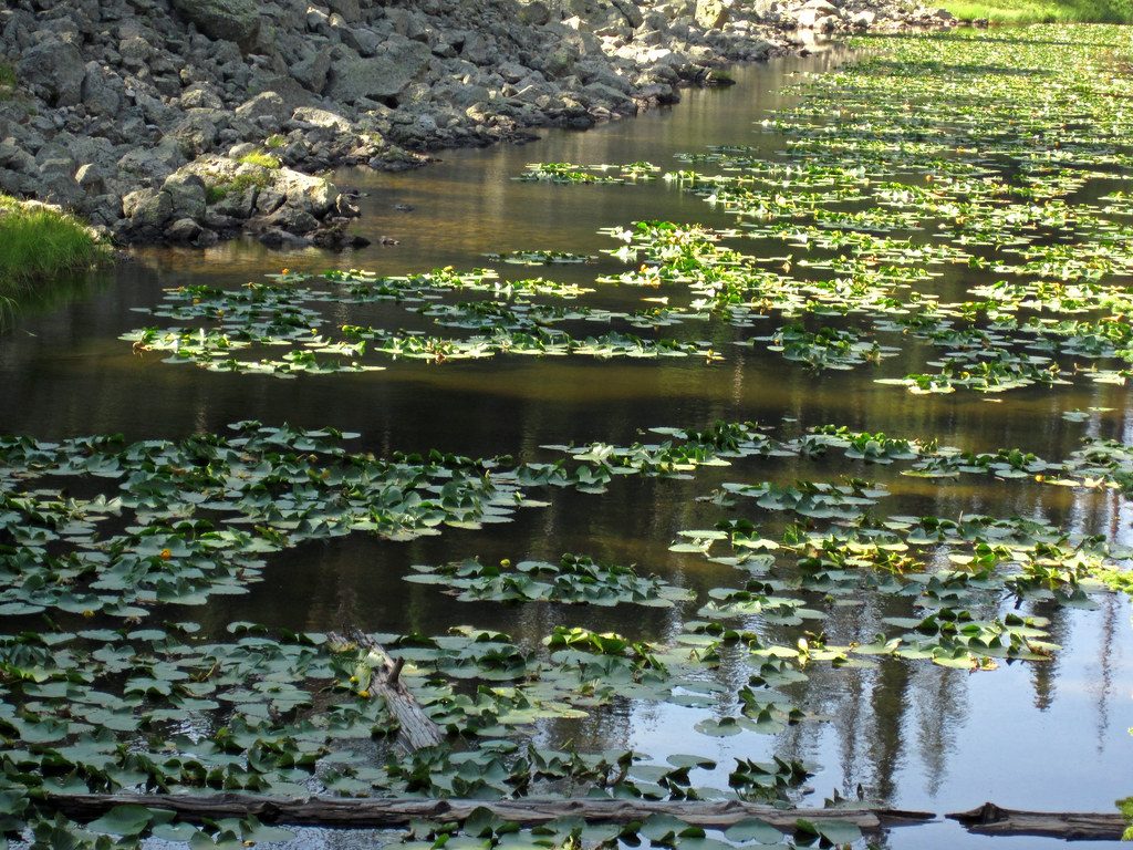
A tiny roadside lake with a big story, Isa Lake sits atop the Continental Divide at Craig Pass (elev. 8,262 ft) between Old Faithful and West Thumb. It’s a quick, scenic pullout where you can stretch your legs, snap a photo by the Divide sign, and get a neat lesson in how water moves across the continent.
Isa Lake is one of the few natural lakes on Earth that drains to two different oceans. The west side flows toward the Firehole–Madison–Missouri–Mississippi and reaches the Gulf of Mexico, while the east side flows via the Lewis–Snake–Columbia to the Pacific. It’s often described as “backwards” because each side drains the opposite way you might expect when standing on the Divide.
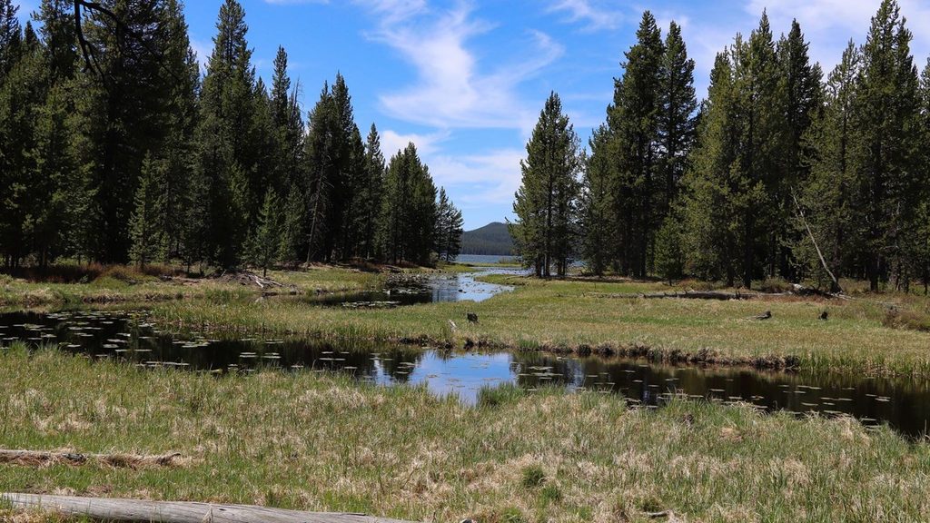
Think pond-sized water ringed with yellow pond‑lilies and framed by the Continental Divide signage. It’s simple and serene—perfect for a quick photo and a geology wow moment before you continue your loop drive.
The lake was first recorded in 1891 by Hiram M. Chittenden and named for Isabel Jelke of Cincinnati. Indigenous peoples have lived in the greater Yellowstone region for at least 11,000 years.
You’ll find Isa Lake right off the Grand Loop Road at Craig Pass on the connector between Old Faithful and West Thumb. There are small roadside pullouts; use them—don’t stop in the lane. There are no services here; plan restroom or snack stops at Old Faithful or West Thumb instead.
Late spring through fall when this road is open. If you want to appreciate the two‑way drainage idea, spring snowmelt highlights the effect best. Midday is fine for photos since the subject is about the story, not the light. Arrive early or later in the day to avoid peak traffic on the south loop.
You may spot the occasional waterfowl on small lakes and ponds in this area. Give all wildlife plenty of space, and stay off fragile shorelines and vegetation. Weather at 8,000+ feet changes fast—carry layers and expect wind or passing showers.
Place · 0 mi away
Place · 0.9 mi away
Place · 1.9 mi away
Place · 3.8 mi away
Easy · 3.3 mi away
Easy · 4.2 mi away
Easy · 5.4 mi away
Easy · 5.5 mi away

Parkwolf Tour Guide
