Parking
Use DeLacy Creek Parking Area / Trailhead (7K2), 8.8 miles west of West Thumb Junction. An information kiosk is listed at the trailhead.
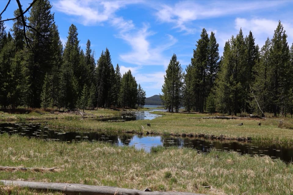
Yellowstone National Park, WY · MT · ID
Easy meadows lead to remote Shoshone Lake.
Overview
Map & elevation
Plan your hike

The highest, rockiest slopes around here are a summer buffet for grizzly bears.
Yellowstone Tour Guide
Parkwolf is a GPS audio tour guide for Yellowstone National Park. As you drive, it chimes in with what’s ahead: hidden gems, upcoming stops, history, geology, and wildlife, right through your car’s speakers.
See the Yellowstone audio tourRecorded for this trailhead
DeLacy Creek and Shoshone Lake“You're approaching the DeLacy Creek trailhead, for a walk to Yellowstone's largest backcountry lake.”
Plays as you drive up to this trailhead in the Parkwolf Yellowstone Tour Guide.
More stories near here in the app
“First time driving through a national park. We used the Yellowstone tour on grand loop Road and it’s just like having a tour guide in your car with you.”


Trail guide
DeLacy Creek Trail is a 5.8-mile out-and-back from DeLacy Creek Parking Area to the north shore of Shoshone Lake, then back the same way. The National Park Service rates it easy and gives a three-to-five-hour range; allow about four hours if you want time by the water. The route follows a forest edge and opens into meadows before reaching Yellowstone’s largest backcountry lake.
This day hike ends at the lake. Turn around at the north shore and retrace the approach; longer backcountry routes continue beyond this point and are separate itineraries. The 5.8 miles includes both directions, not just the walk to the shore.
The meadows are a good place to scan for sandhill cranes, and the lake edge for moose and water birds. Wildlife sightings are never guaranteed, but the creek, open grass and wooded shoreline give the walk more variety than a straight forest approach.
The trailhead is at DeLacy Creek Parking Area (7K2), 8.8 miles west of West Thumb Junction; an information kiosk is listed there. The trail is listed for summer and fall. No reservation or trail activity fee is required, though normal park entrance fees apply. Pets are not allowed.
Wildlife
 713 sightingsGrizzly BearMost seen around 6 AMSighting map
 743 sightingsWolfMost seen around 6 AMSighting map
 5,273 sightingsBisonMost seen around 7 AMSighting map
 3,258 sightingsElkMost seen around 7 PMSighting map
 397 sightingsMooseMost seen around 7 PMSighting map
 1,494 sightingsBlack BearMost seen around 7 PMSighting map
Sighting maps show where each species has been reported across Yellowstone. Wildlife moves, so no sighting is guaranteed.
Keep exploring
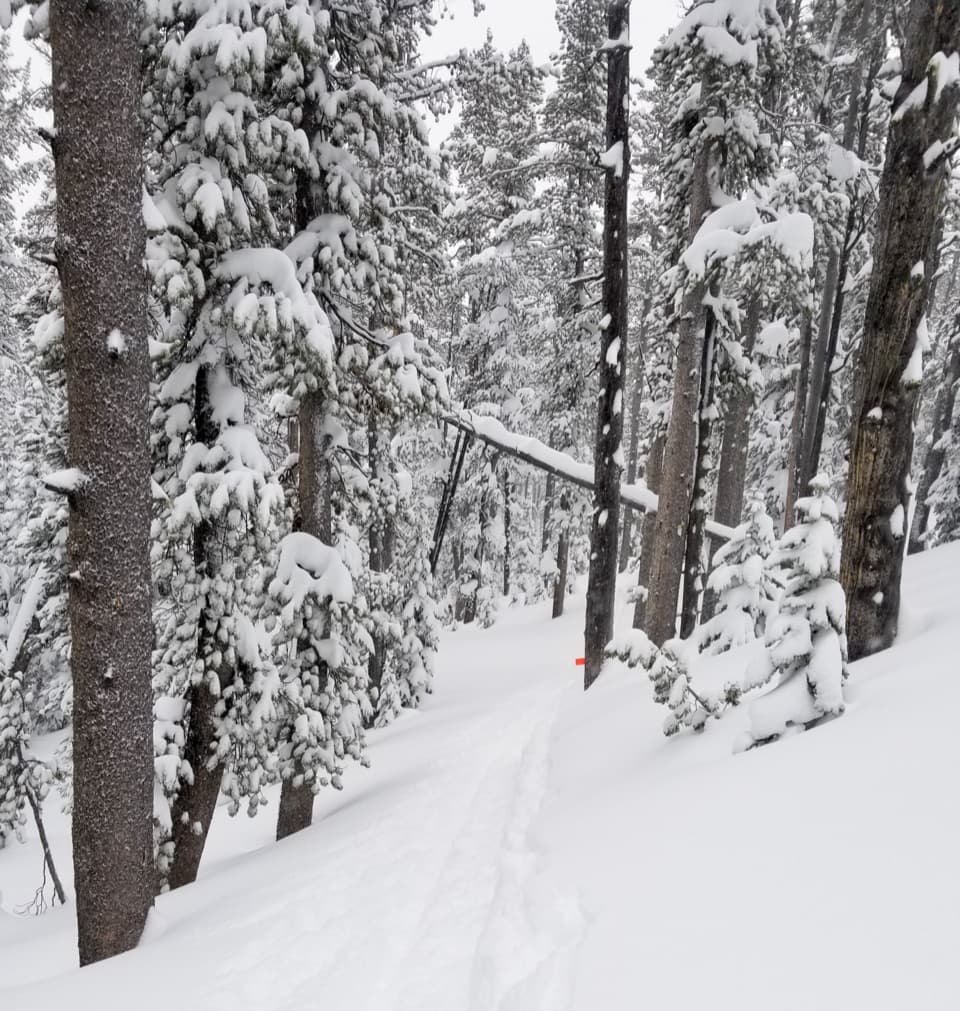 ModerateDivide Trail3.4 mi · 2.3 hr · 1.8 mi awayA 3.4-mile out-and-back to a former fire lookout site.
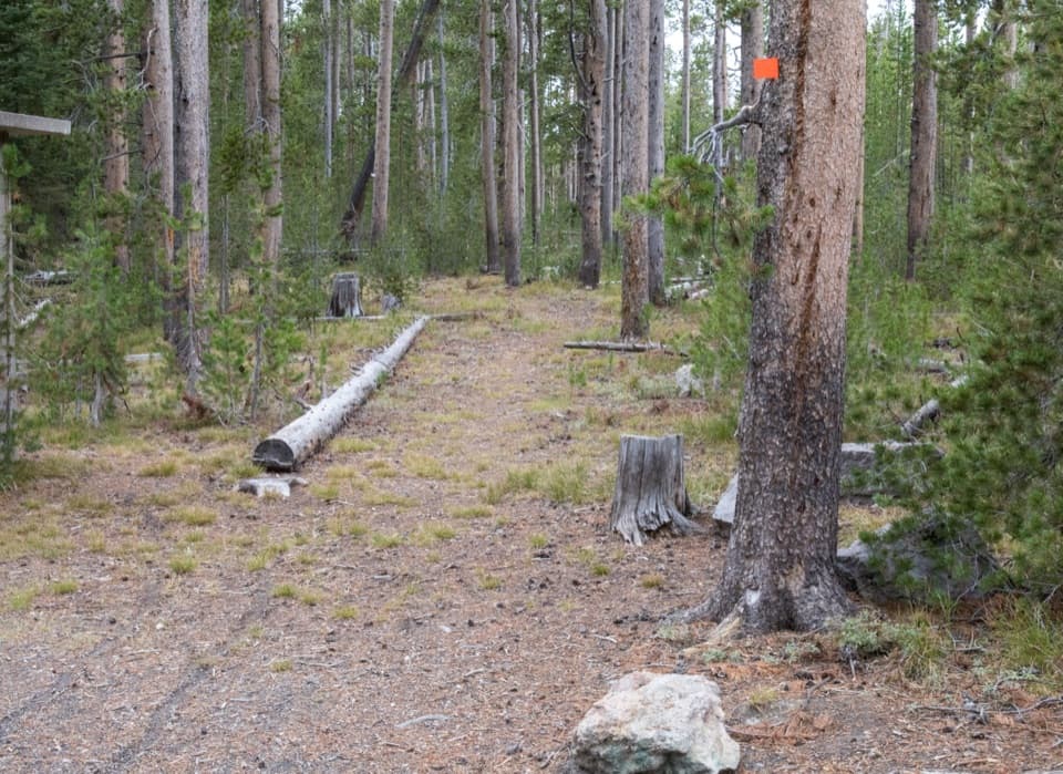 ModerateSpring Creek Trail8 mi · 4 hr · 1.8 mi awayAn old stagecoach road follows the creek to the Firehole.
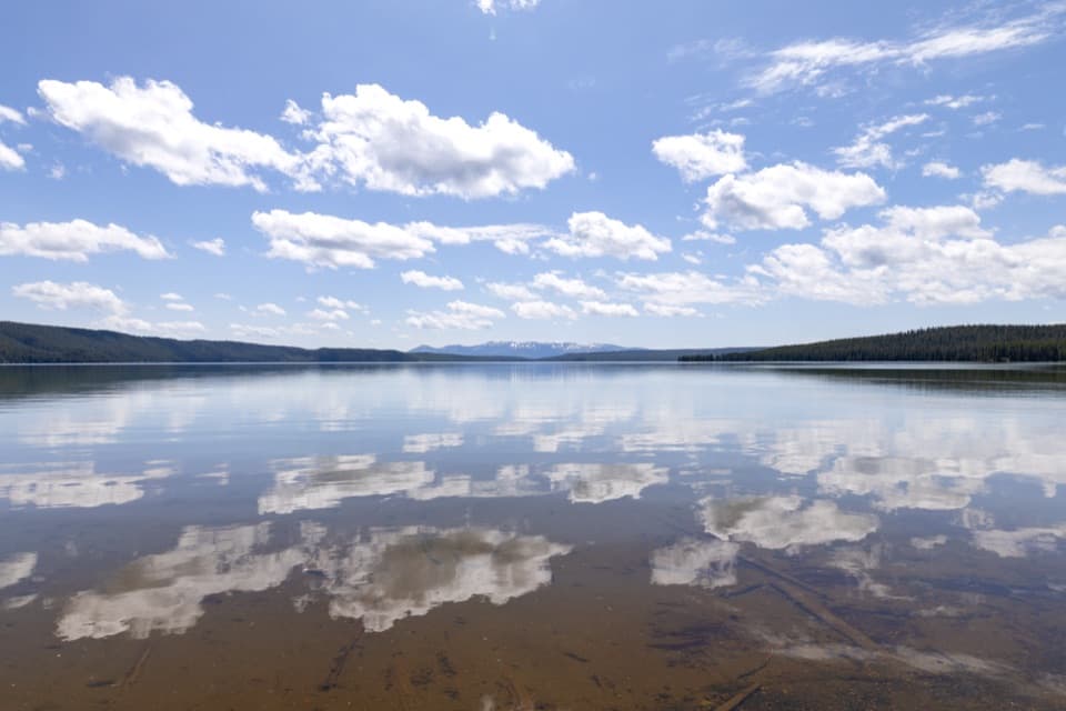 ModerateNorth Shore Shoshone Lake Trail8.3 mi · 6 hr · 2.7 mi awayA remote one-way walk from lake beach into lodgepole forest.
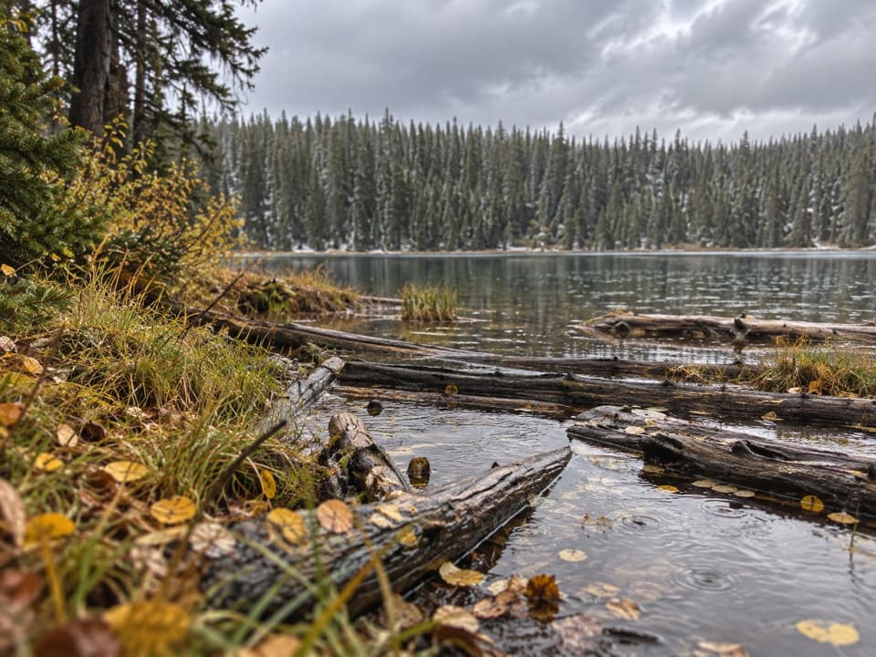 ModeratePocket Lake Trail2.4 mi · 2 hr · 3.6 mi awayA steep forest trail reaches a small backcountry lake.
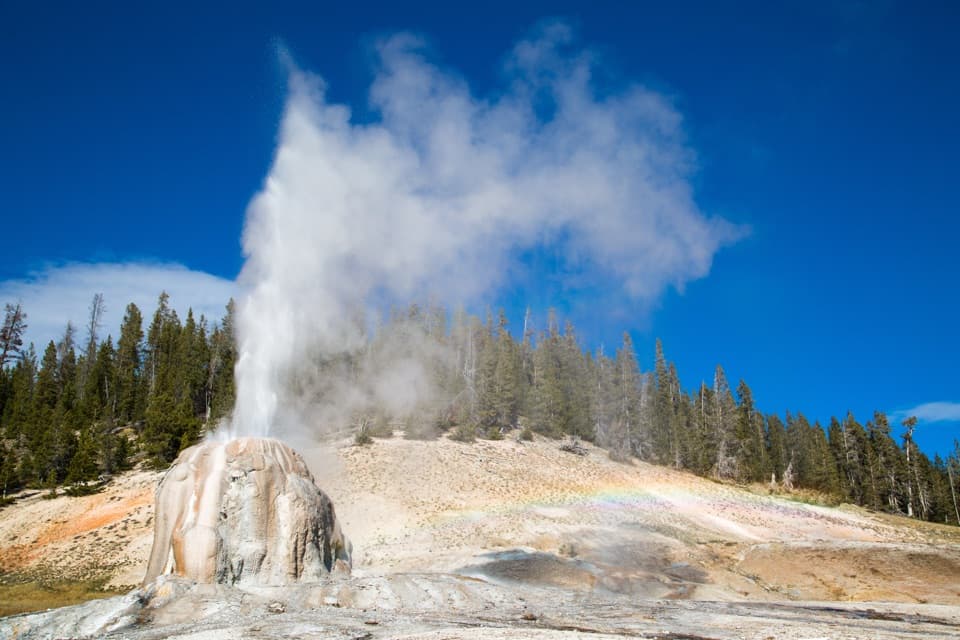 EasyLone Star Geyser Trail4.8 mi · 2.5 hr · 5.1 mi awayEasy Firehole River walk to a geyser with roughly three-hour eruptions.
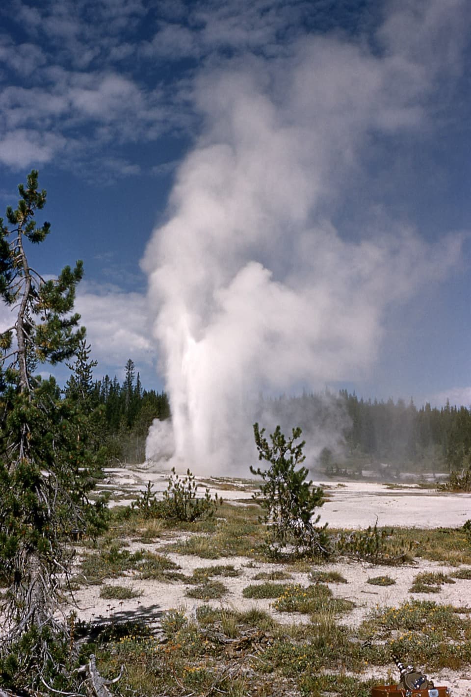 ChallengingShoshone Geyser Basin Trail17 mi · 8.5 hr · 5.1 mi awayMore than 80 geysers, with no boardwalks and a long hike in.
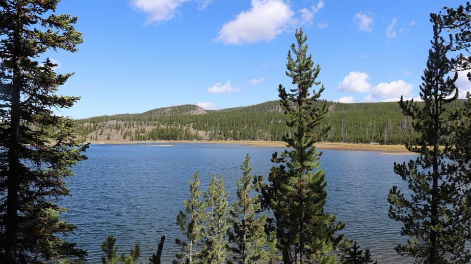 ModerateMallard Lake Trail7 mi · 4.5 hr · 6 mi awayPipeline Hot Springs and a Firehole crossing lead to Mallard Lake.
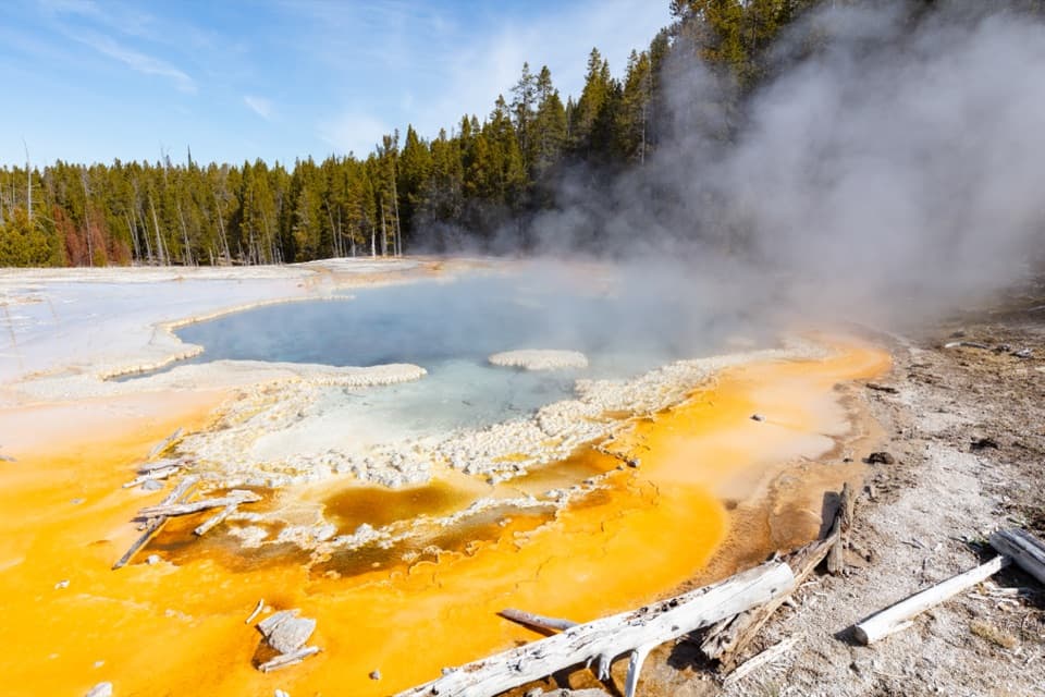 ModerateObservation Point–Solitary Geyser Loop1.9 mi · 2 hr · 6.3 mi awayA short climb trades switchbacks for Old Faithful from above.
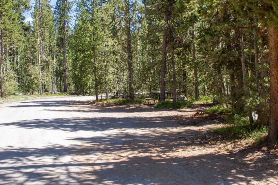 Picnic area · 0.2 mi awayDeLacy Creek Picnic AreaA handy picnic stop at Craig Pass with a vault toilet.
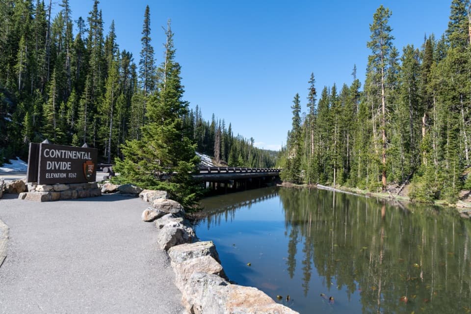 Sight · 1 mi awayIsa Lake and Continental DivideA small lake with a snowmelt-dependent two-ocean story.
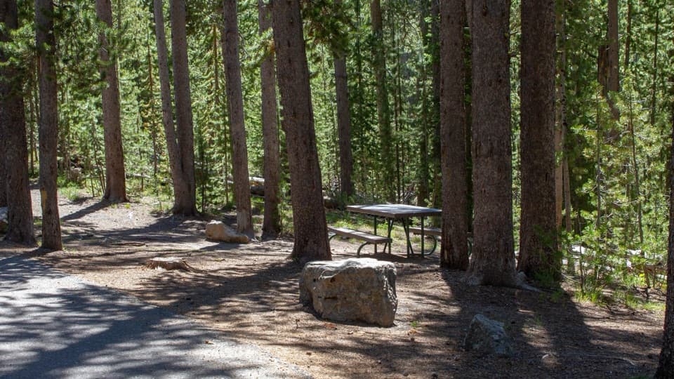 Picnic area · 2.8 mi awaySpring Creek Picnic AreaCraig Pass picnic break with nine tables and two fire grates
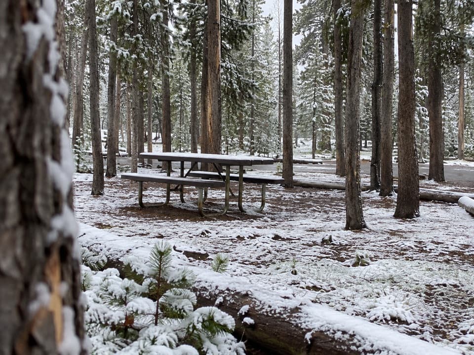 Picnic area · 3.5 mi awayEast Divide Picnic AreaA simple picnic stop with 14 tables and a vault toilet.
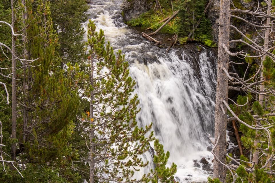 Sight · 5.2 mi awayKepler CascadesThree tiers of Firehole water tumbling into a wooded ravine.
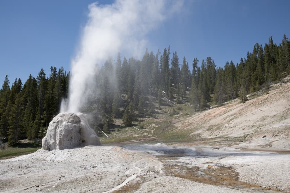 Sight · 5.6 mi awayLone Star Geyser4.8-mile river walk to a geyser whose eruptions average three hours apart.
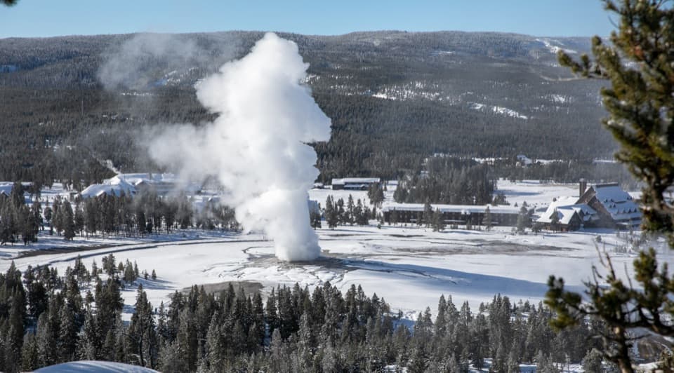 Sight · 6.2 mi awayObservation PointA steady climb buys a bird’s-eye view of Old Faithful.
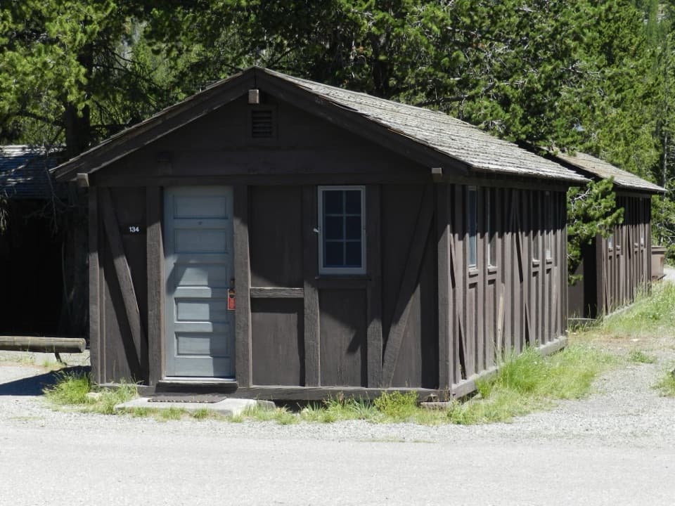 Lodging · 6.2 mi awayOld Faithful Lodge CabinsA rustic cabin stay within easy reach of Old Faithful.
Parkwolf’s Yellowstone ranking

The audio tour guide for the drive, plus offline maps, trails, and wildlife heatmaps for when the signal drops.





