Observation Point–Solitary Geyser Loop in Yellowstone National Park

Yellowstone National Park, WY · MT · ID

Observation Point–Solitary Geyser Loop

A short climb trades switchbacks for Old Faithful from above.

Photo: Public Domain
Length
1.9mi
Time
2hr
Elev. change
187ft
Difficulty
Moderate
  • Loop
  • No dogs
  • High point 7,520 ft
  • #24 of 167 in Yellowstone

Hear the audio tour

Old Faithful and Upper Geyser Basin

Overview

About Observation Point–Solitary Geyser Loop

Why go

  • A high, open view of Old Faithful and the basin after a short climb.
  • Solitary Geyser adds a close-up thermal feature on the return.

Heads up

  • The 0.5-mile switchback climb is short but steady.
  • The trailhead is separate from parking; the boardwalk approach adds about 0.3 mile each way.

Map & elevation

The route

Loading the Yellowstone map
Full map
Elevation7,333–7,520 ft
TrailheadObservation Point Trailhead, just beyond the Firehole River bridge44.46233, -110.82762
Keep this map with you offline in the Parkwolf app

Plan your hike

Before you go

Parking

Use the Old Faithful Visitor Education Center parking lots. Follow the boardwalk counter-clockwise toward the Geyser Hill sign, cross the Firehole River, and find the trail departure just beyond the bridge, about 0.3 mile from the visitor center. No separate trailhead lot or capacity information was found.

Safety

Stay on the marked trail and boardwalk around hydrothermal ground; the thin surface can cover scalding water. Pets are prohibited on this route.

5 active Yellowstone alerts

  • ClosureBiscuit Basin closed after hydrothermal explosionBiscuit Basin’s parking lot, boardwalk, and Firehole River are closed to all travel.Official details
  • ClosureMost Yellowstone roads close to regular vehicles November 1Most Yellowstone roads and the West, South, and East entrances are scheduled to close to regular vehicles November 1, 2026, as the park prepares for winter operations.Official details
See all 5 alerts
A park ranger sits on a dash-mounted phone, talking, as Parkwolf’s Tour Guide plays “Army Cutworm Moths: A Grizzly Bear Buffet” on Grand Loop Road below Dunraven Pass in Yellowstone
Parkwolf Tour GuideThe highest, rockiest slopes around here are a summer buffet for grizzly bears.

Yellowstone Tour Guide

Hear Yellowstone as you drive it.

Parkwolf is a GPS audio tour guide for Yellowstone National Park. As you drive, it chimes in with what’s ahead: hidden gems, upcoming stops, history, geology, and wildlife, right through your car’s speakers.

See the Yellowstone audio tour

Recorded for this trailhead

Old Faithful and Upper Geyser Basin
0:00 / 0:33
“You're approaching the Old Faithful area, and I'd make this more than a stop for one eruption. Check the next predicted window at the Visitor Education Center before you start walking.”

Plays as you drive up to this trailhead in the Parkwolf Yellowstone Tour Guide.

More stories near here in the app

  • Old Faithful Inn and Village
  • Fern Cascades and Howard Eaton Trailhead
  • Black Sand Basin
  • Kepler Cascades
  • 243 audio storiesacross Yellowstone’s roads, triggered by GPS as you drive
  • Wildlife heatmapsfor Wolf, Grizzly Bear, Bison, and 13 more
  • Works offlinemaps, 167 trails, 192 places, and audio download before you lose signal
  • CarPlay readysimple controls built for the drive
★★★★★
“First time driving through a national park. We used the Yellowstone tour on grand loop Road and it’s just like having a tour guide in your car with you.”
Jyg5001App Store review
Download Parkwolf on the App StoreGet Parkwolf on Google Play

4.7 from 8,600+ ratings

Trail guide

Hiking Observation Point–Solitary Geyser Loop

A short loop with two different payoffsThis is the standard walking route from the trailhead just beyond the Firehole River bridge: a…

This is the standard walking route from the trailhead just beyond the Firehole River bridge: a switchback climb to Observation Point, then a descent to Solitary Geyser and the Upper Geyser Hill boardwalk. The mapped bridge-to-bridge loop is about 1.9 miles and takes around two hours on the trail. Published distances range from 1.6 to 2.5 miles depending on which route and access legs are counted; the longer park description gives 1.6 miles for the basic return and adds 0.9 for the Solitary continuation, but does not explain how its figure relates to the shorter mapped loop. If you start at the Visitor Education Center parking lots, add the roughly 0.3-mile boardwalk walk each way and budget up to 2.5 miles overall.

The climb and the viewThe dirt path climbs about half a mile through conifers, rock outcrops, and small grassy…

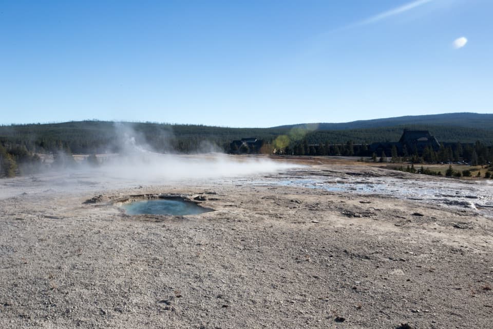
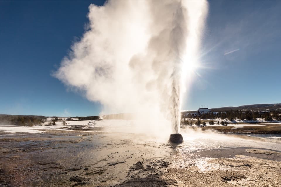
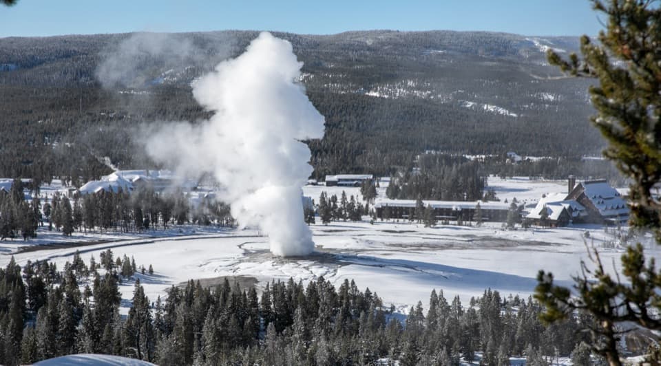
The dirt path climbs about half a mile through conifers, rock outcrops, and small grassy openings. It is a short but steady uphill, with roughly 200–250 feet of climbing reported for the route. At the top, the path loops around the overlook: look across the Firehole River and Upper Geyser Basin toward Old Faithful, the visitor center, and the historic buildings. For a photo that feels like this place, include the geyser and some of the basin rather than cropping to the plume alone.

Solitary Geyser on the way downThis loop includes Solitary Geyser as a second stop, not just the overlook.

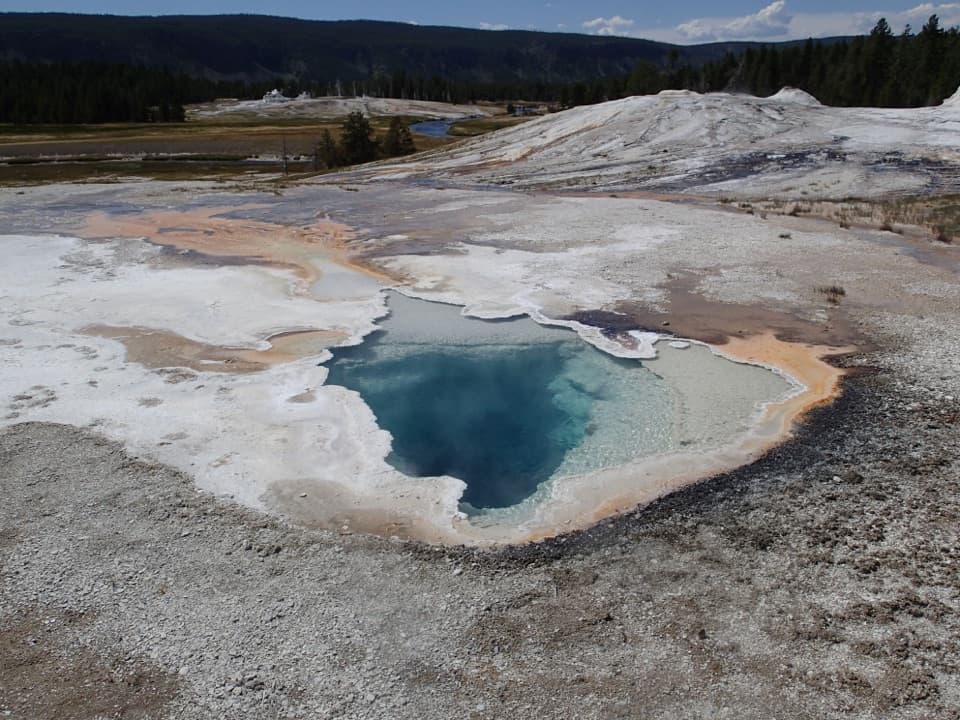
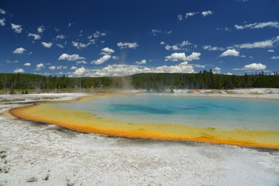
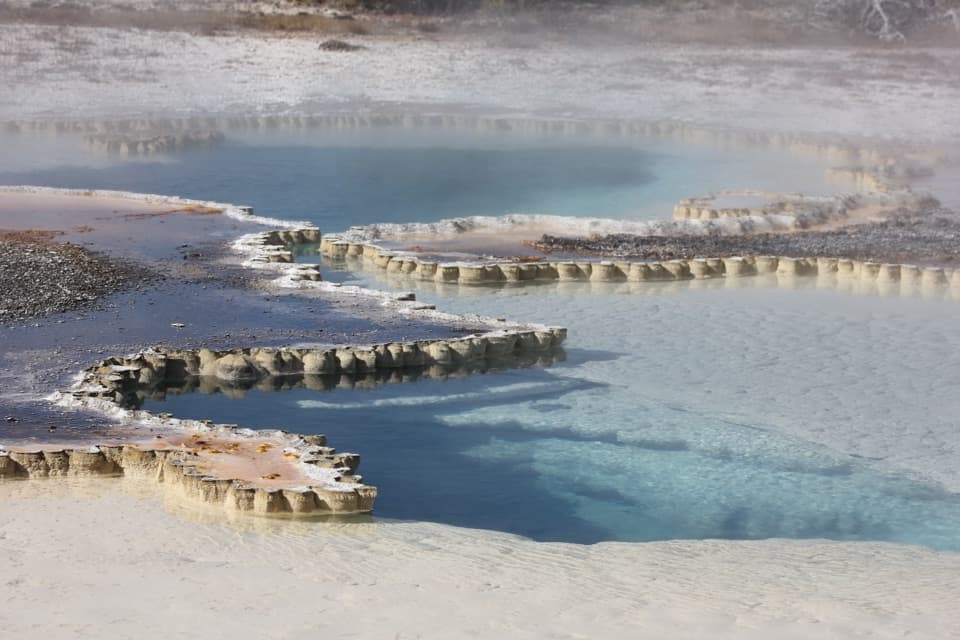
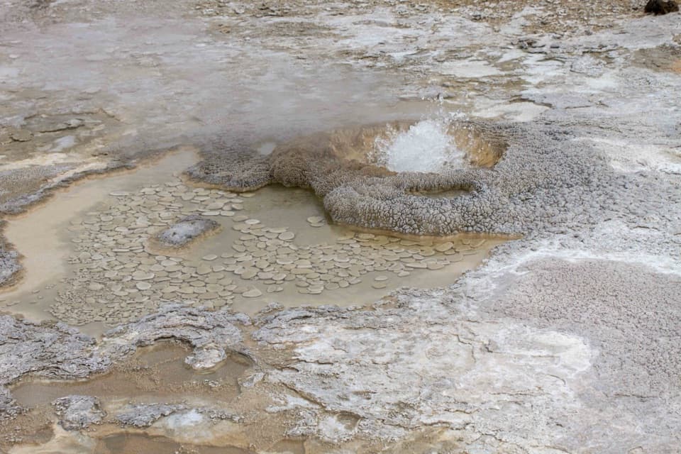
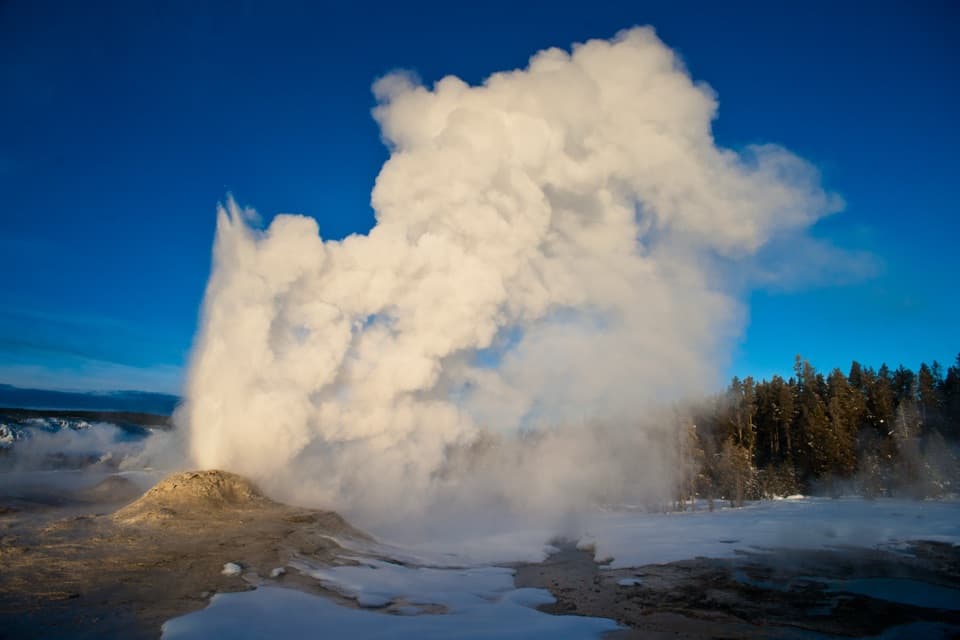
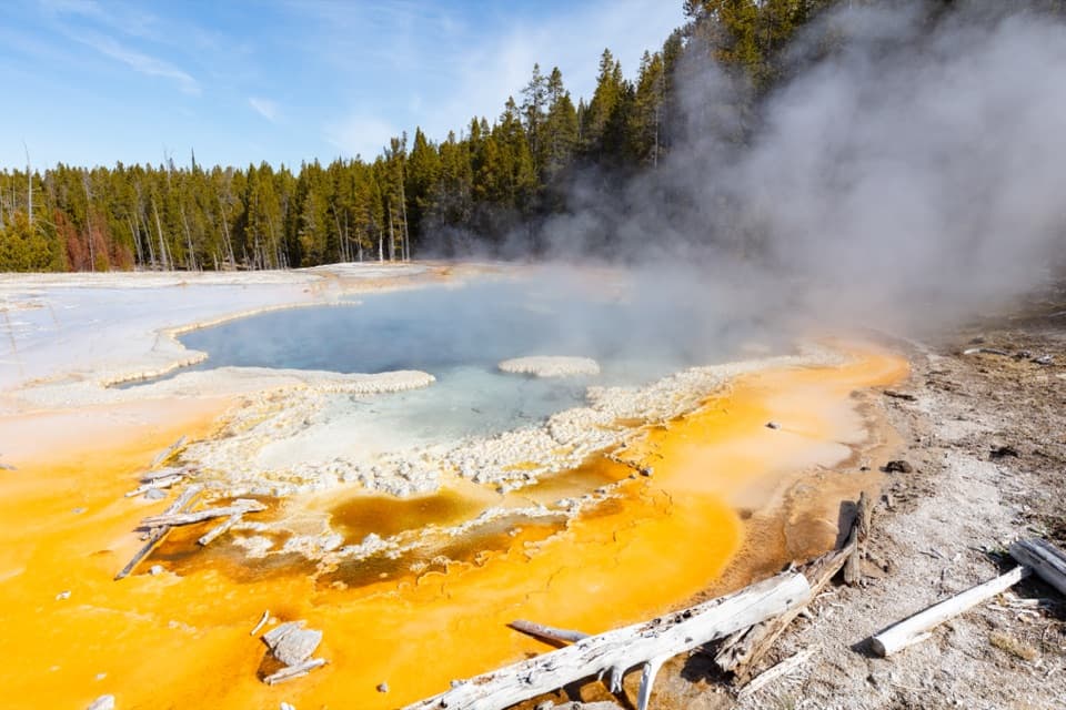
This loop includes Solitary Geyser as a second stop, not just the overlook. Its clear blue pool sits inside a pale geyserite rim, with orange and yellow microbial mats along the runoff channels. It erupts frequently, often every four to eight minutes, so you may see a burst while you pause. The return retraces part of the boardwalk corridor before turning back toward the Firehole bridge.

Stay on the marked pathThe route skirts active thermal ground.

The route skirts active thermal ground. Stay on the dirt trail and boardwalk: thin crust can hide scalding water. Pets are not allowed. No on-route water source was confirmed; the park advises carrying water for the climb.

What heats the basinUpper Geyser Basin contains most of the world’s active geysers.

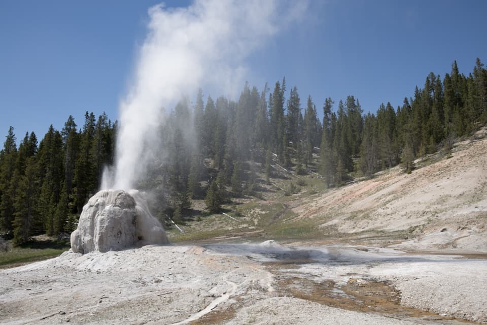
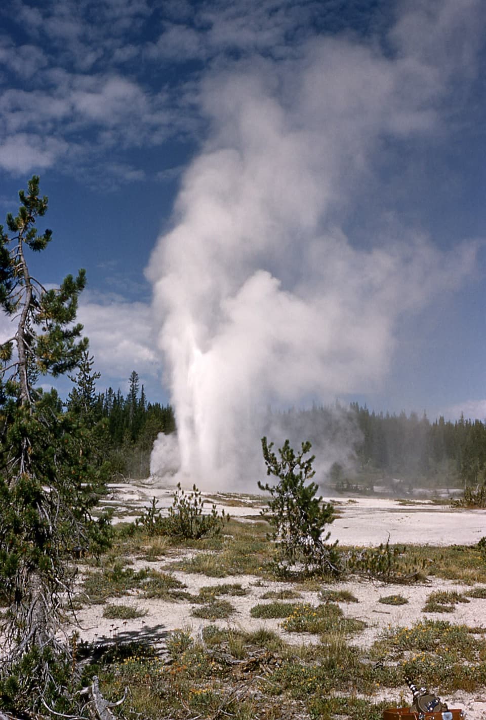
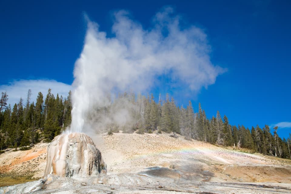
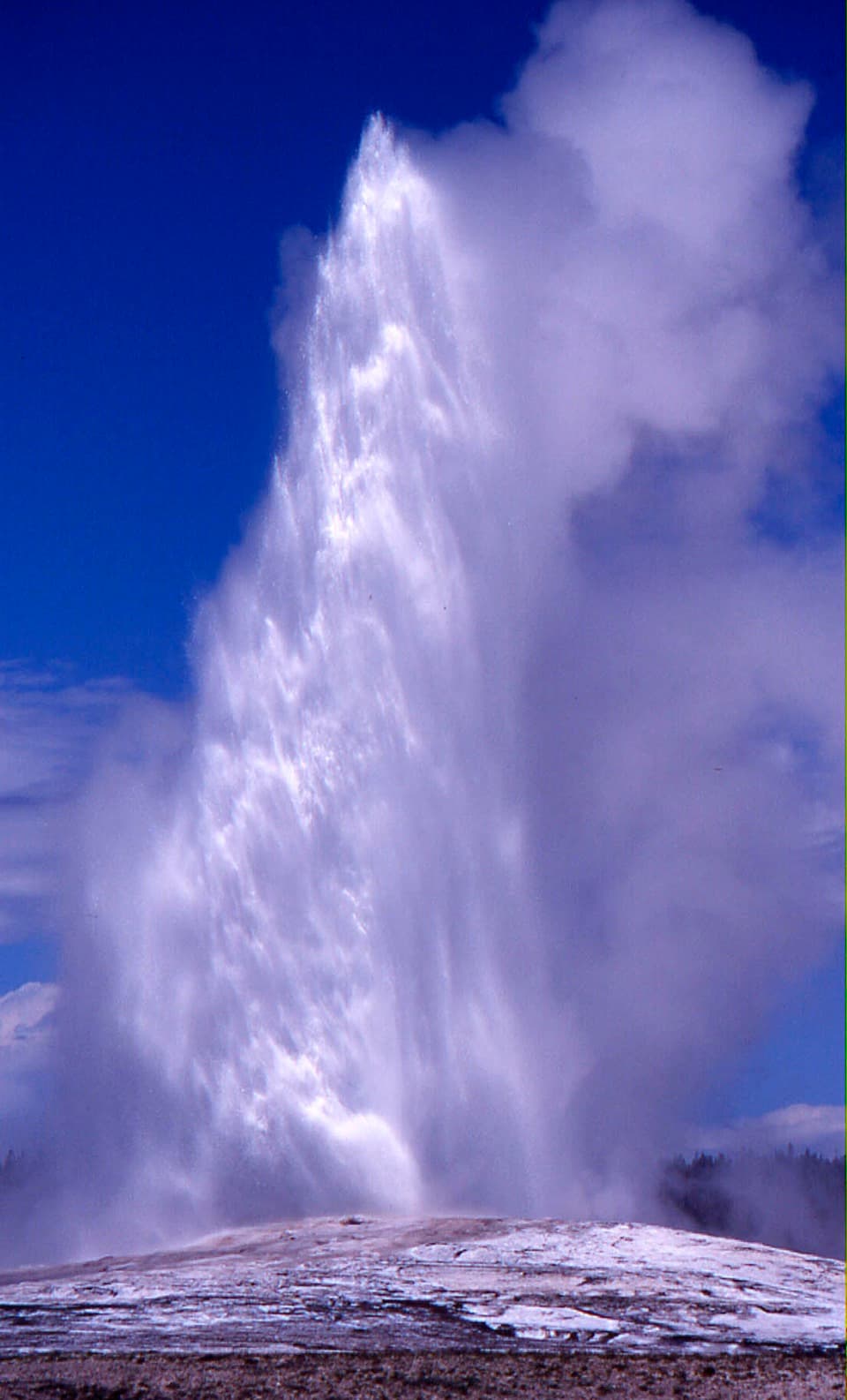
Upper Geyser Basin contains most of the world’s active geysers. Rain and snowmelt seep deep underground, heat in Yellowstone’s volcanic system, and rise through cracks; constrictions in geyser plumbing trap steam until pressure pushes water upward. Solitary Geyser has been active since the park’s early years, making this small pool a close look at the same system behind the basin’s larger eruptions.

Wildlife

Wildlife in Yellowstone

All Yellowstone wildlife maps

Sighting maps show where each species has been reported across Yellowstone. Wildlife moves, so no sighting is guaranteed.

Keep exploring

Near Observation Point–Solitary Geyser Loop

See it all on the map

Trails that start nearby

Places near the trailhead

Parkwolf’s Yellowstone ranking

Top-rated trails in Yellowstone

All 167 trails
  1. 1Old Faithful to Morning Glory Pool TrailEasy · 2.7 mi
  2. 2Grand Prismatic Overlook TrailEasy · 1.6 mi
  3. 3Dunraven Pass–Mount Washburn TrailChallenging · 7 mi
  4. 4Midway Geyser Basin TrailEasy · 0.7 mi
  5. 5Brink of the Lower Falls TrailChallenging · 0.7 mi
  6. 6Fairy Falls TrailEasy · 4.5 mi

Take Parkwolf to Yellowstone.

The audio tour guide for the drive, plus offline maps, trails, and wildlife heatmaps for when the signal drops.

4.7 from 8,600+ ratings

Download Parkwolf on the App StoreGet Parkwolf on Google Play