
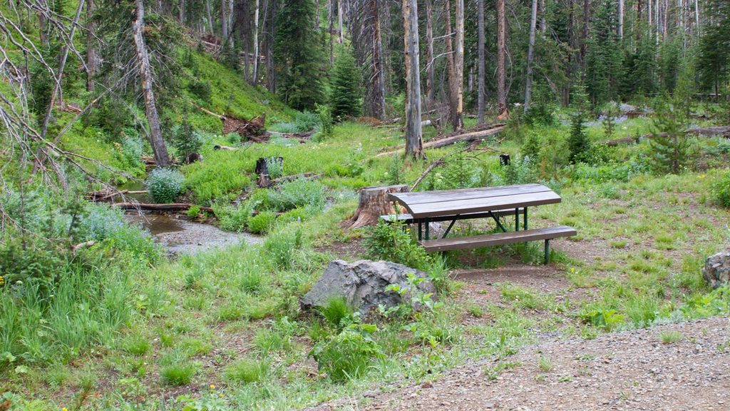
Place · 0.7 mi away
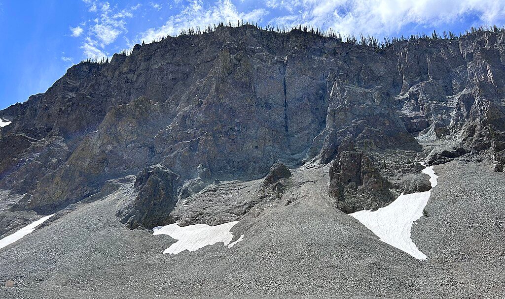
At 8,524 feet, Sylvan Pass is the high, winding gateway that links the park’s interior to the East Entrance and Cody side. You’re driving between Hoyt Peak and Top Notch Peak, with rugged Absaroka cliffs towering over a series of scenic pullouts. It’s a short stop rather than a developed destination, but the views and the sense of exposure make it memorable.
Expect big mountain vistas, talus slopes, and sheer walls—classic pass country. Keep your eyes on the rock faces and scree: bighorn sheep are occasionally spotted here, especially in cooler hours. Meadows and forest edges near the pass can turn up elk, and bears are possible but less common.
The pass takes its name from nearby Sylvan Lake. The crags and cliffs you see were shaped heavily by frost-wedging—water freezes in cracks, expands, and pops rock loose over time—leaving those blocky, fractured walls. Early road work here traces back to the era of Army engineer Hiram Chittenden, who laid out much of Yellowstone’s first touring routes. An old lunch station once served travelers near the pass in the 1920s–30s, but it was removed by 1940.
Summers are short and cool up here, and early frosts are common—September snow isn’t unusual. In winter, this corridor is managed for oversnow travel (snowmobiles and snowcoaches) with avalanche control as conditions require. Access can change with weather, so always check current status before you commit to the climb.
This is an exposed mountain grade with blind curves, rockfall potential, and long drop-offs in places. It’s exhilarating if you like alpine roads and uncomfortable if you don’t. Use only designated pullouts for photos—never stop in a lane—and watch for ice on cold mornings even outside midwinter.
There are no services at the pass: no fuel, food, or potable water. Treat it as a scenic drive-through with quick pullouts. For restrooms and dining, plan around developed hubs like Lake Village or Fishing Bridge.
Dawn and dusk improve your odds. Scan cliff bands and talus for bighorn sheep; glass meadows for elk. Keep distance, stay in your vehicle if animals are close, and never block traffic at a sighting.
Bring layers—weather flips quickly at altitude. Pack water and snacks, and build your restroom stops around developed areas. If heights make you uneasy, let a confident driver handle the wheel and keep your stops brief at wider pullouts.
Place · 0.7 mi away
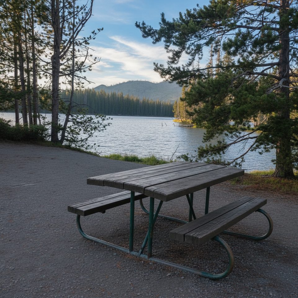
Place · 1.6 mi away
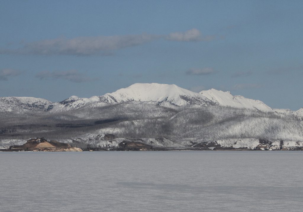
Place · 1.8 mi away
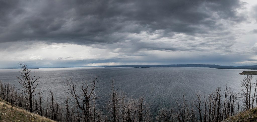
Place · 7.8 mi away
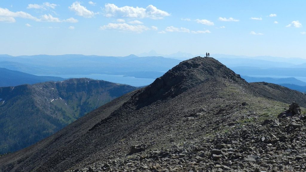
Challenging · 0.7 mi away
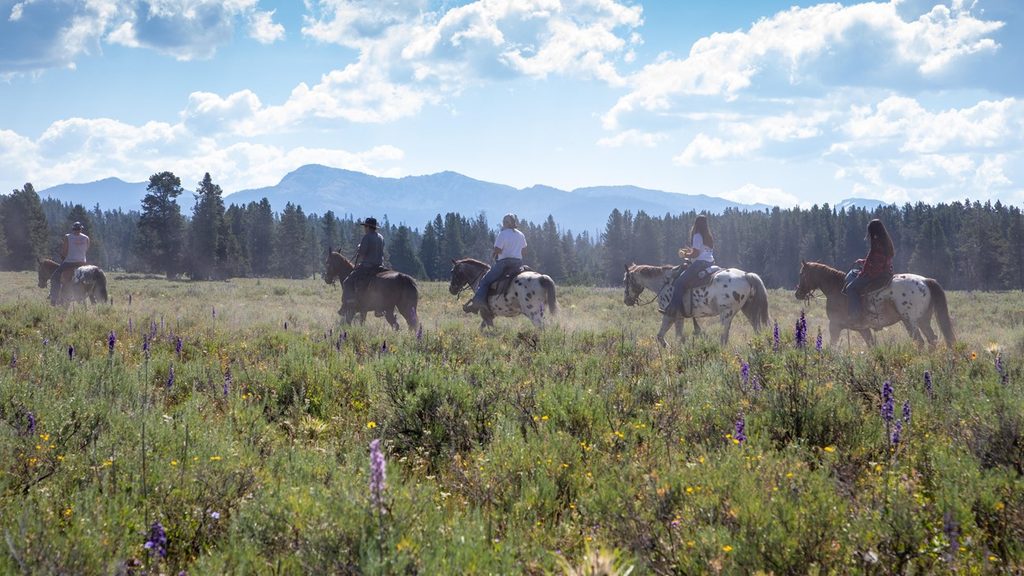
Moderate · 11.3 mi away
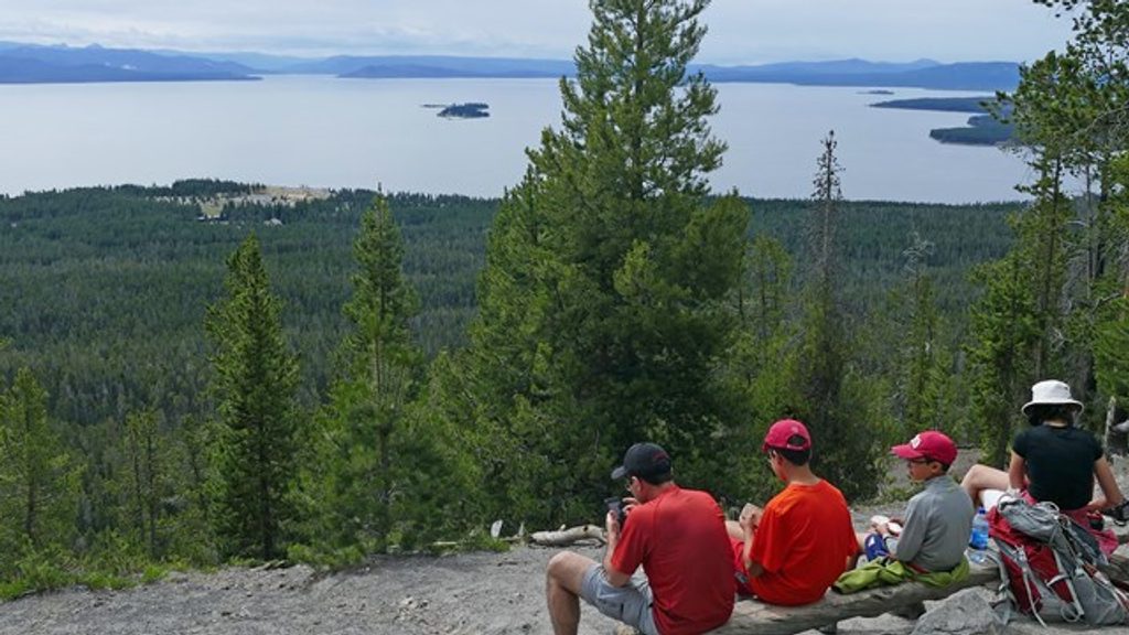
Easy · 11.7 mi away
Moderate · 11.7 mi away

Parkwolf Tour Guide
