Parking
Turn onto the gravel road about 3 miles east of Fishing Bridge Visitor Center and follow it to the end at Pelican Valley Trailhead 5K3. Parking capacity and facilities are not posted.
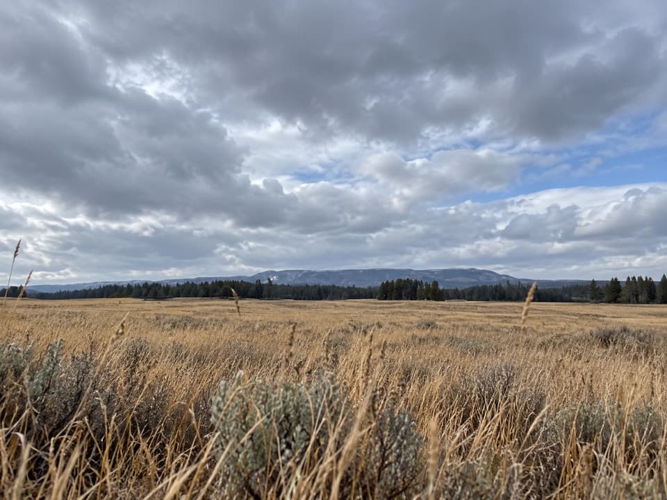
Yellowstone National Park, WY · MT · ID
Cross open meadows to a creekside overlook in prime grizzly country.
Overview
Pelican Valley Trail is a mostly level, bare-ground out-and-back from the road-end trailhead through meadow and forest to a washed-out bridge in the Pelican Creek valley. The official trail description lists 6.2 miles round trip and 3–4 hours. The connected mapped line is 3.62 miles each way from the first tread point, about 36 meters beyond the road-end parking; including that short access, expect roughly 7.3 miles round trip. Allow for the extra distance, or turn around before the bridge if your mileage reaches the listed total. The tread is gentle overall, with roughly 180 feet of cumulative rise on the elevation profile, and the hike is rated moderate.
Map & elevation
Plan your hike

The highest, rockiest slopes around here are a summer buffet for grizzly bears.
Yellowstone Tour Guide
Parkwolf is a GPS audio tour guide for Yellowstone National Park. As you drive, it chimes in with what’s ahead: hidden gems, upcoming stops, history, geology, and wildlife, right through your car’s speakers.
See the Yellowstone audio tourRecorded for this trailhead
Pelican Valley Trailhead“You're approaching Pelican Valley Trailhead, for a mostly level walk through meadows and forest to views of Pelican Creek and the Absaroka Mountains.”
Plays as you drive up to this trailhead in the Parkwolf Yellowstone Tour Guide.
More stories near here in the app
“First time driving through a national park. We used the Yellowstone tour on grand loop Road and it’s just like having a tour guide in your car with you.”


Trail guide
A single-wide dirt path heads north across open meadow and over several bridges before entering forest. After the trees, it climbs a small hill to the route's best view: Pelican Creek below and the Absaroka Mountains to the east. For a photo that shows the scale of the valley, include the creek below the ridge rather than framing only the skyline.
The path turns east through a small hydrothermal area, then bends north, crosses a small creek and climbs a cut bank with another view toward Pelican Creek. It continues about a mile to the washed-out bridge. That bridge is the turnaround, not a creek crossing; there is no bridge across the creek, so return the way you came.
Pelican Valley is prime grizzly habitat. The Bear Management Area is seasonally closed until July 4, and hiking is limited to 9 a.m.–7 p.m. Groups of four or more are recommended, and off-trail travel is prohibited on the first 2.1 miles. Pets are not allowed. Stay on the tread through the fragile, hazardous hydrothermal area and check the current backcountry report before setting out.
Turn onto the gravel road about three miles east of Fishing Bridge Visitor Center and follow it to the road-end parking at Pelican Valley Trailhead 5K3. Parking capacity and facilities are not listed. No food or drinking-water stop was identified at the trailhead or along the route.
Wildlife
 713 sightingsGrizzly BearMost seen around 6 AMSighting map
 743 sightingsWolfMost seen around 6 AMSighting map
 5,273 sightingsBisonMost seen around 7 AMSighting map
 3,258 sightingsElkMost seen around 7 PMSighting map
 397 sightingsMooseMost seen around 7 PMSighting map
 1,494 sightingsBlack BearMost seen around 7 PMSighting map
Sighting maps show where each species has been reported across Yellowstone. Wildlife moves, so no sighting is guaranteed.
Keep exploring
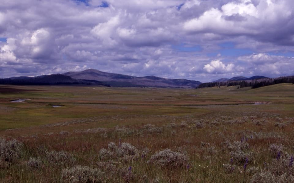 ChallengingPelican Cone Trail22.3 mi · 10 hr · At the trailheadA long backcountry walk to a rare summit fire lookout.
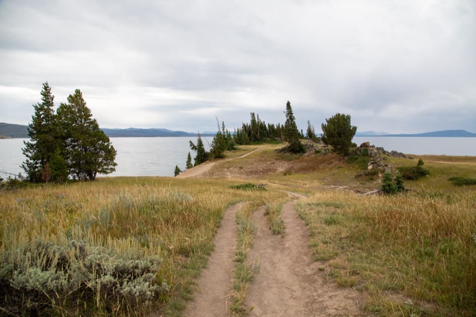 EasyStorm Point Trail2.3 mi · 1.5 hr · 0.5 mi awayA short loop from Indian Pond to a wind-swept Yellowstone Lake point.
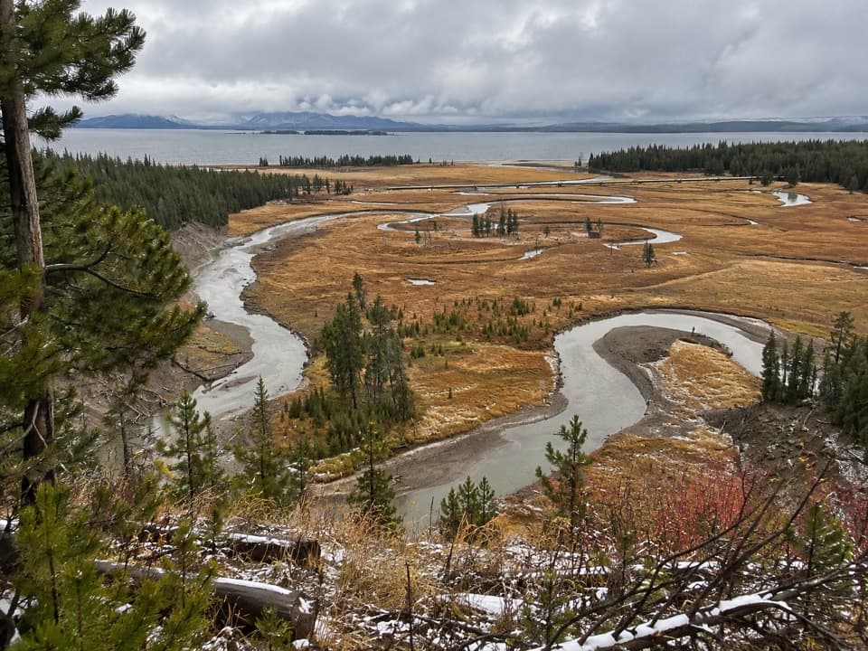 EasyPelican Creek Nature Trail0.8 mi · 45 min · 2.1 mi awayA short forest loop opens onto Pelican Creek and Yellowstone Lake.
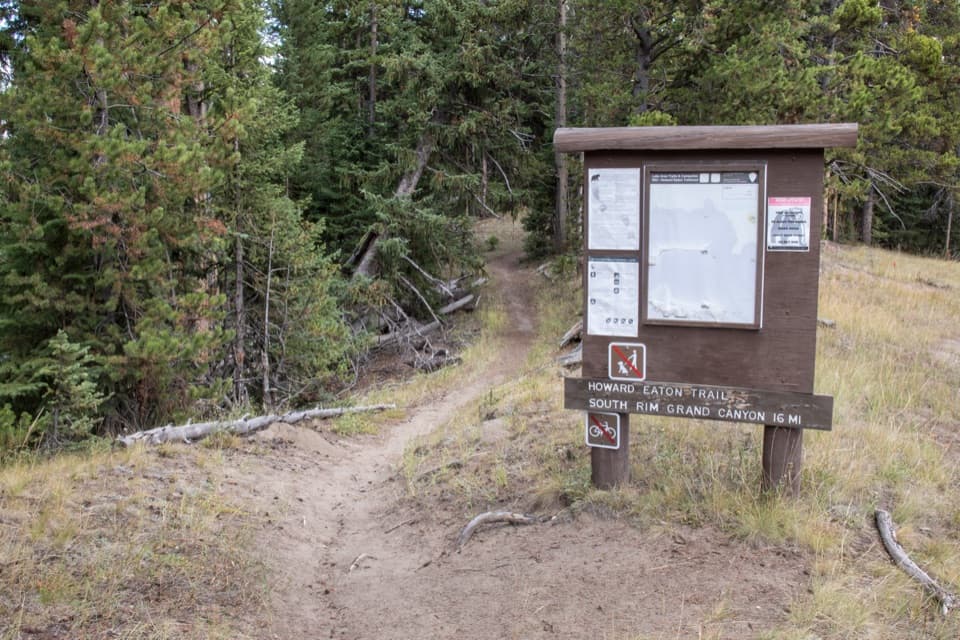 ModerateHoward Eaton Trail: Fishing Bridge to Canyon13.5 mi · 7 hr · 2.8 mi awayA long river-side traverse opens into Hayden Valley meadows.
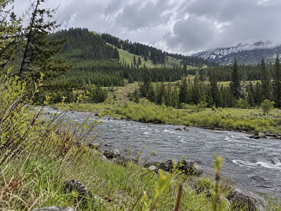 ChallengingMist Creek Trail14.3 mi · 12 hr · 3.1 mi awayBear country, a high pass, then a long descent to the Lamar.
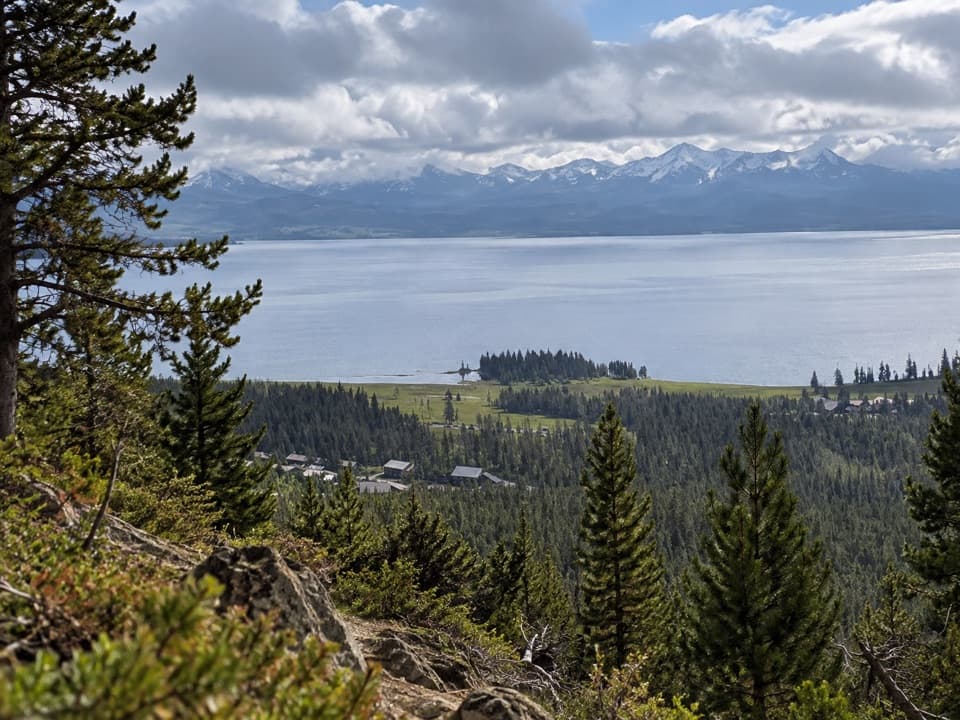 ModerateElephant Back Mountain Trail3.9 mi · 2.5 hr · 4.1 mi awayA steady forest climb to a broad Yellowstone Lake view.
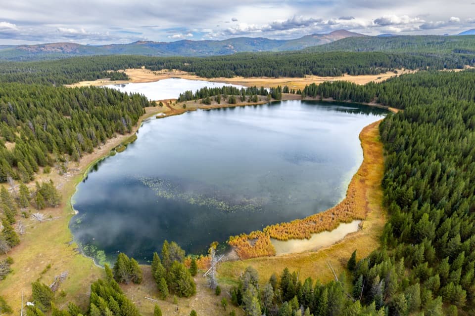 ChallengingAstringent Creek Trail9.1 mi · 6.5 hr · 4.2 mi awayA remote nine-mile connector between Pelican Valley and Wapiti trails.
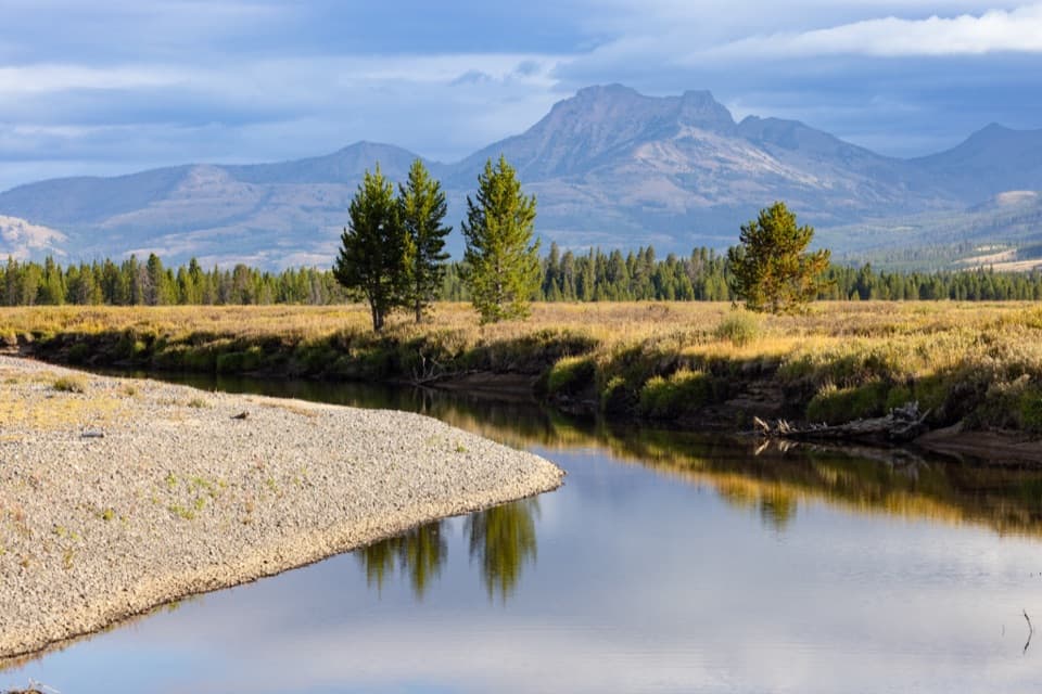 ChallengingThorofare Trail33.1 mi · 16 hr · 4.3 mi awayA 33-mile one-way trek from lake shore into remote river country.
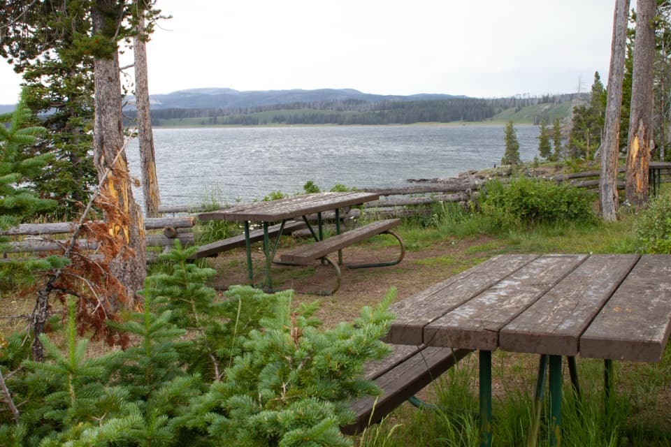 Picnic area · 2.2 mi awaySteamboat Point Picnic AreaA simple lakeside pause with four tables and a vault toilet.
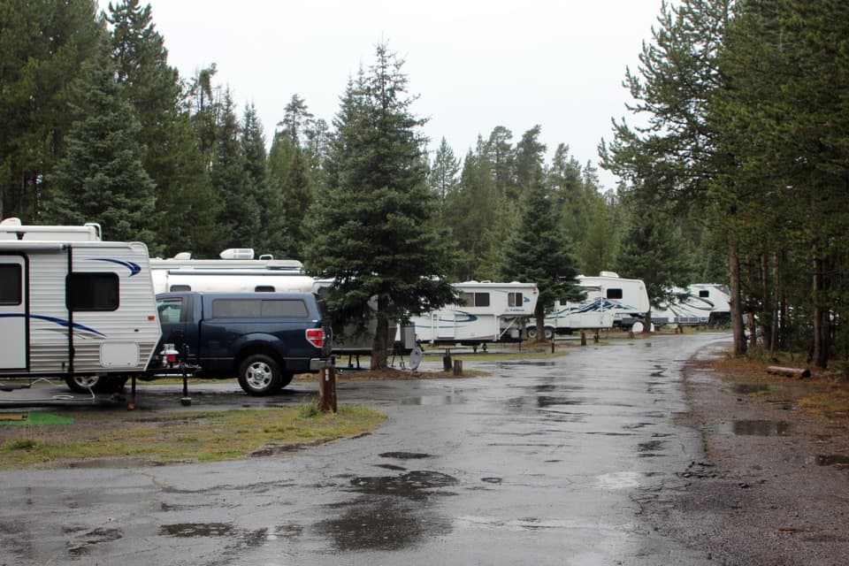 Campground · 2.5 mi awayFishing Bridge RV ParkYellowstone’s only full-hookup campground; tents aren’t allowed.
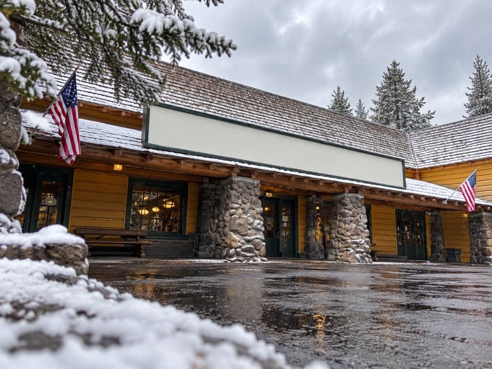 Store · 2.8 mi awayFishing Bridge General StoreGroceries, ice cream and a grill make this a useful park stop.
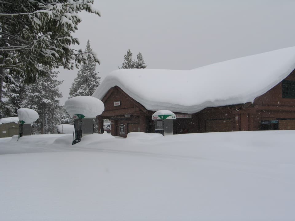 Gas station · 2.9 mi awayFishing Bridge Gas and Service StationA handy stop for fuel, repairs, towing and propane.
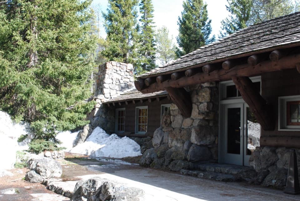 Visitor center · 2.9 mi awayFishing Bridge Visitor Center and Trailside MuseumStep into a bird museum with Yellowstone Lake just beyond the windows.
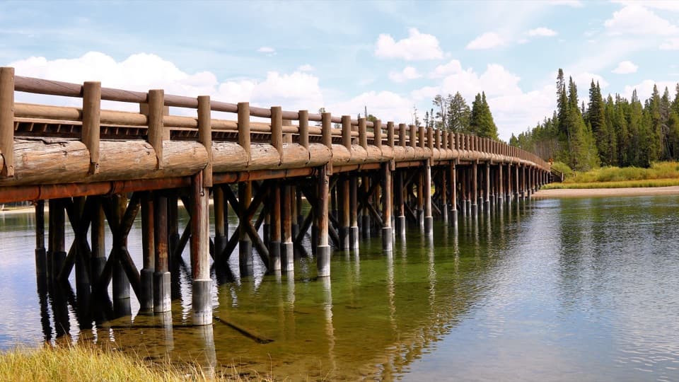 Sight · 3.2 mi awayFishing BridgeA quick fish-watching stop at a bridge closed to fishing.
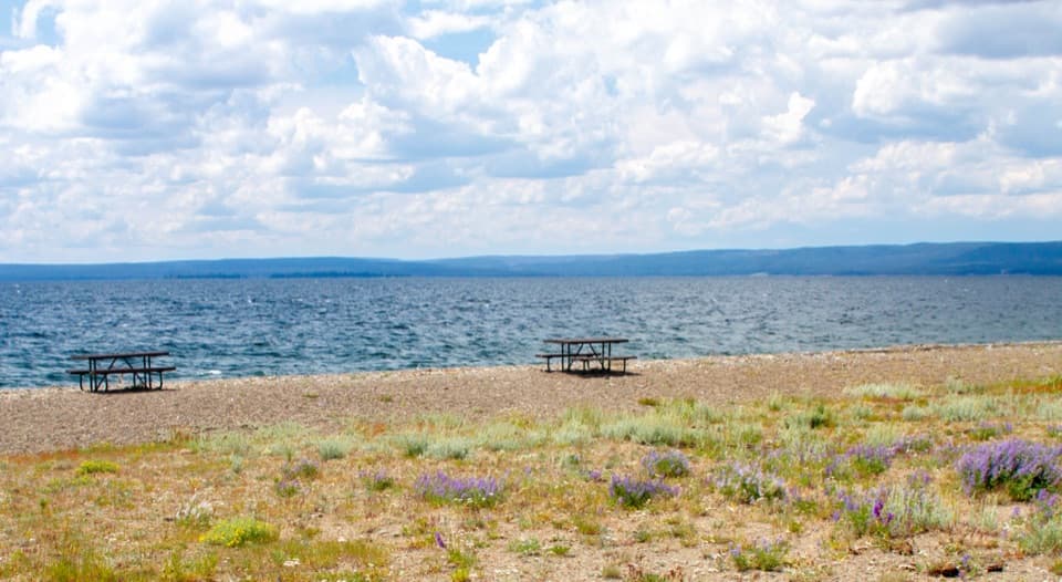 Picnic area · 3.4 mi awaySedge Bay Picnic AreaA simple picnic stop with broad views across a giant lake.
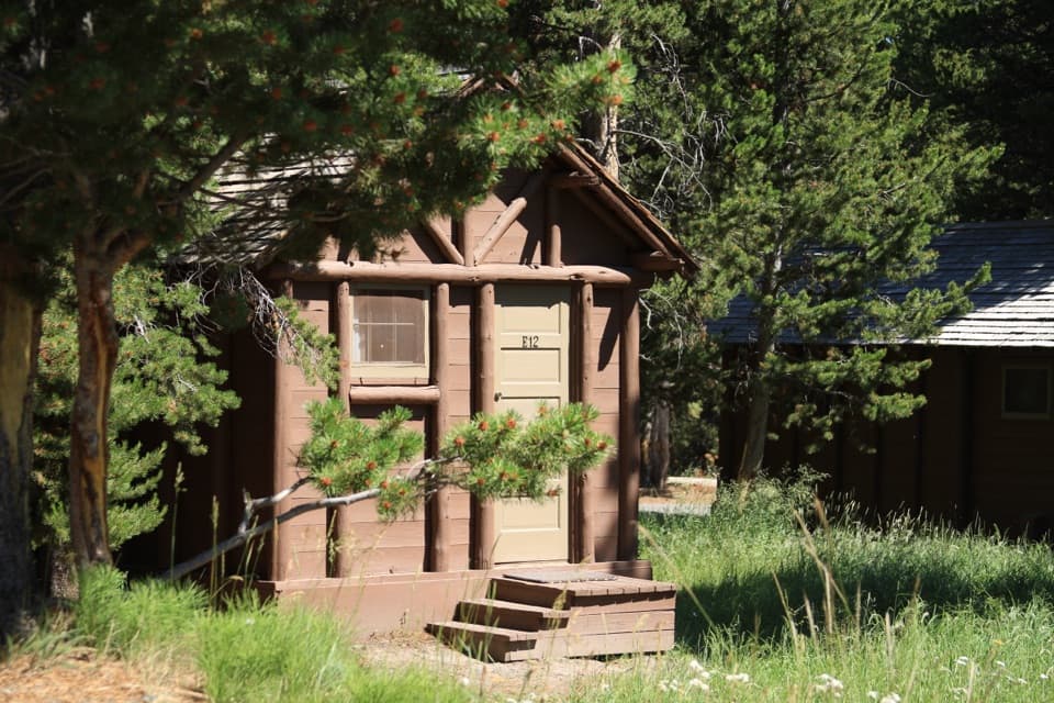 Lodging · 3.8 mi awayLake Lodge CabinsA summer cabin base with a rocking-chair view of Yellowstone Lake.
Parkwolf’s Yellowstone ranking

The audio tour guide for the drive, plus offline maps, trails, and wildlife heatmaps for when the signal drops.