Parking
Use the Indian Pond pullout, three miles east of Fishing Bridge Visitor Center. This is the named Storm Point trailhead and the start for the 2.3-mile loop.
Yellowstone National Park, WY · MT · ID
A short loop from Indian Pond to a wind-swept Yellowstone Lake point.
Overview
Map & elevation
Plan your hike

The highest, rockiest slopes around here are a summer buffet for grizzly bears.
Yellowstone Tour Guide
Parkwolf is a GPS audio tour guide for Yellowstone National Park. As you drive, it chimes in with what’s ahead: hidden gems, upcoming stops, history, geology, and wildlife, right through your car’s speakers.
See the Yellowstone audio tourRecorded for this trailhead
Storm Point Trailhead at Indian Pond“You're coming up on the Storm Point trailhead at Indian Pond, for an easy loop to Yellowstone Lake's open shore. Allow one to two hours for the two-point-three-mile walk through meadow and forest to a windy, rocky point.”
Plays as you drive up to this trailhead in the Parkwolf Yellowstone Tour Guide.
More stories near here in the app
“First time driving through a national park. We used the Yellowstone tour on grand loop Road and it’s just like having a tour guide in your car with you.”


Trail guide
Storm Point Trail is a 2.3-mile loop from the Indian Pond pullout on Yellowstone Lake’s north shore. It starts across open meadow, follows the pond, enters forest, reaches the rocky point and lake shore, then returns through lodgepole pines. The park rates it easy and estimates one to two hours. I’d choose it for a manageable walk that changes from pond to trees to open water, especially if you want a Yellowstone Lake view without committing to a long climb. The 2.3-mile figure is for the Indian Pond access. Recorded GPS walks run longer when they include a connecting approach; one 2.8-mile track still does not fully reconcile with the park’s distance, so follow the route from the named pullout for the version mapped here.
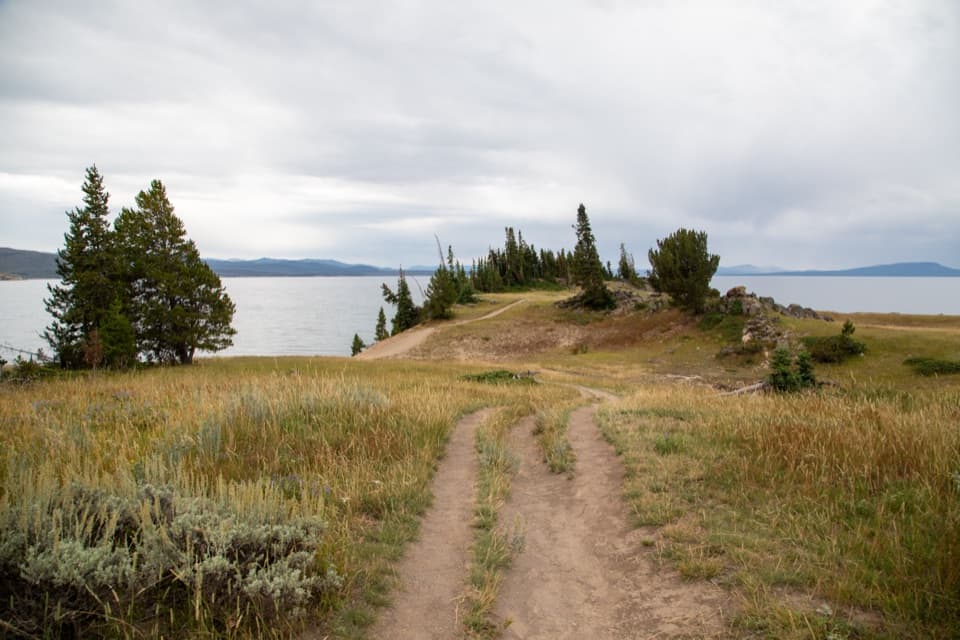
The open start gives you a view over Indian Pond and Yellowstone Lake before the trees close in. The trail runs alongside the pond, then turns west into forest. It is an easy route with little elevation change: a recorded GPS track gained less than 100 feet. The walk keeps trading views for shade rather than staying at the water the whole way, so the open stretch at the beginning and the lakeshore near the point feel like distinct parts of the loop.
The trail comes out at a rocky, wind-swept point on Yellowstone Lake. This is the main reason to finish the loop: you get a more open look at the lake after walking through trees, and the rocks near the point are home to a large colony of yellow-bellied marmots. They are wild animals, so keep your distance and don’t count on seeing them. For a photo, include some of the sandy path and the pine-covered point with the water on both sides; it shows the shape of the point better than a tight lake-only shot.
The walk puts you beside the northern part of Yellowstone Lake, which lies within the 640,000-year-old Yellowstone Caldera. The lake basin includes terrain shaped by rhyolitic lava flows, though that broad geologic setting does not identify every rock along this trail. At Storm Point, the park also identifies exposed sedimentary clay and conglomerate: look for thin gray layers in the shore bank and rounded pebbles held in finer rock. It is a good place to notice the smaller shoreline details after the big lake view has had its turn.
Park at the Indian Pond pullout, three miles east of Fishing Bridge Visitor Center; this is the trailhead for the 2.3-mile loop. No reservation or activity fee is required, though park entrance fees may apply. Pets are not allowed. The trail is often closed in late spring and early summer because of bear activity, so check with the Fishing Bridge Visitor Center before setting out. Yellowstone recommends hiking in groups of three or more and keeping bear spray immediately accessible. The exposed point can be windy even when the forested sections feel sheltered.
Wildlife
 713 sightingsGrizzly BearMost seen around 6 AMSighting map
 743 sightingsWolfMost seen around 6 AMSighting map
 5,273 sightingsBisonMost seen around 7 AMSighting map
 3,258 sightingsElkMost seen around 7 PMSighting map
 397 sightingsMooseMost seen around 7 PMSighting map
 1,494 sightingsBlack BearMost seen around 7 PMSighting map
Sighting maps show where each species has been reported across Yellowstone. Wildlife moves, so no sighting is guaranteed.
Keep exploring
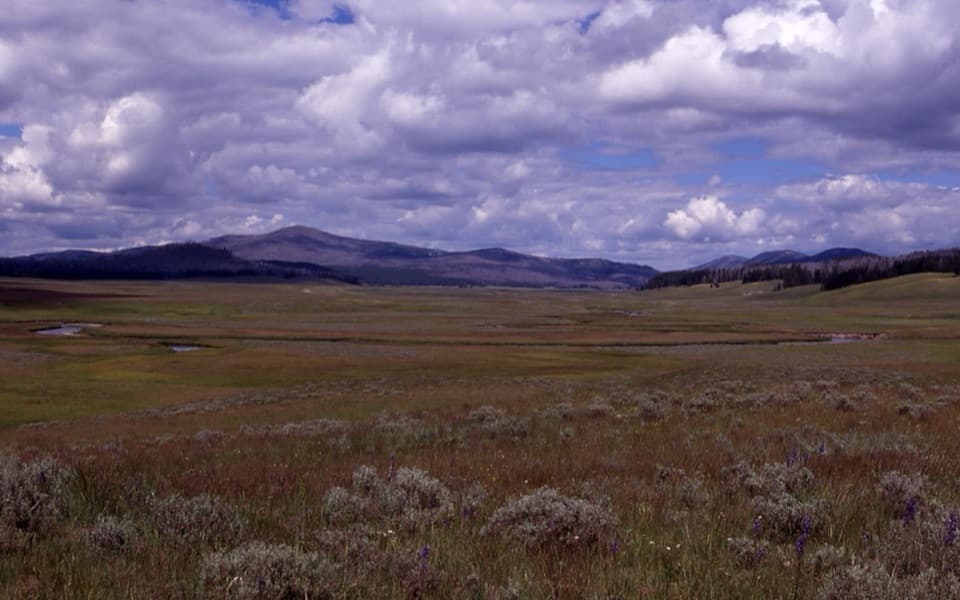 ChallengingPelican Cone Trail22.3 mi · 10 hr · 0.5 mi awayA long backcountry walk to a rare summit fire lookout.
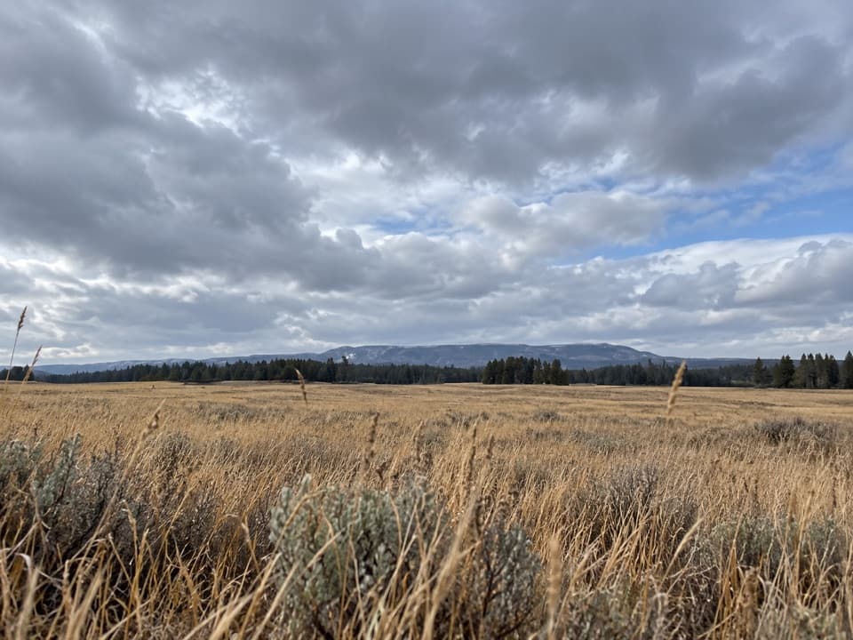 ModeratePelican Valley Trail6.2 mi · 4 hr · 0.5 mi awayCross open meadows to a creekside overlook in prime grizzly country.
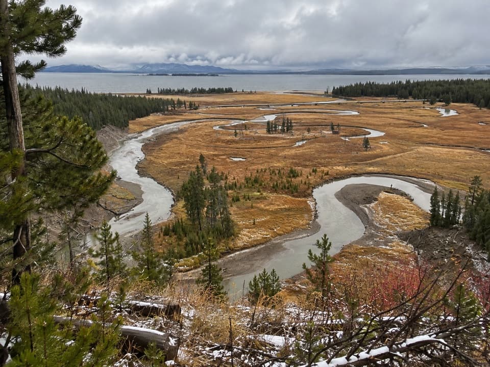 EasyPelican Creek Nature Trail0.8 mi · 45 min · 1.6 mi awayA short forest loop opens onto Pelican Creek and Yellowstone Lake.
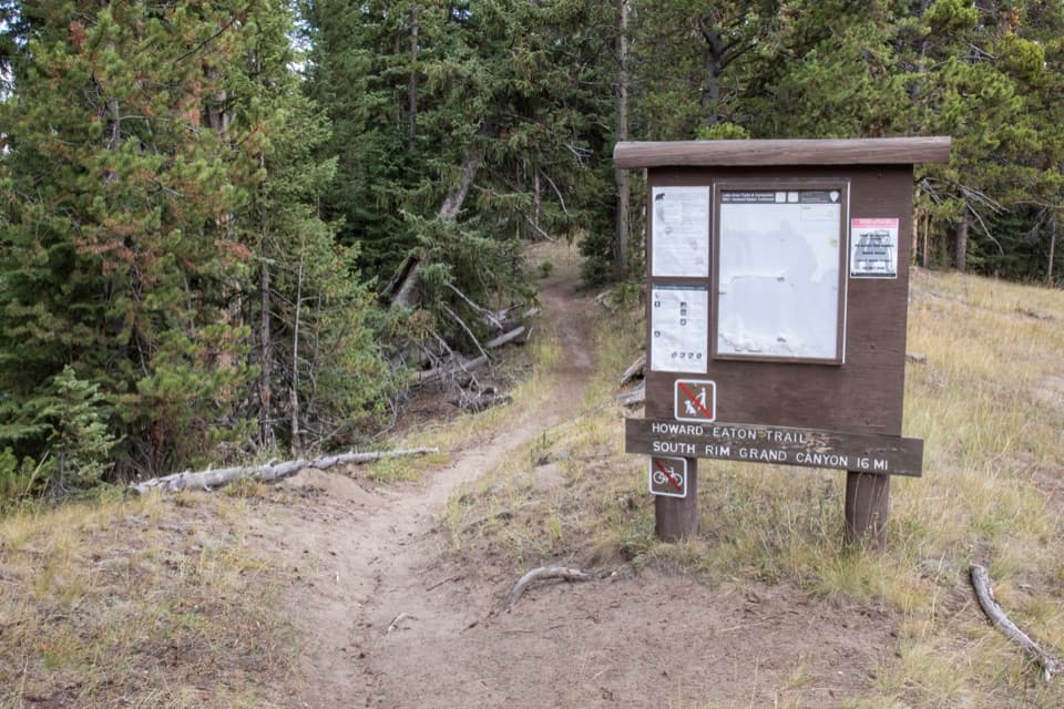 ModerateHoward Eaton Trail: Fishing Bridge to Canyon13.5 mi · 7 hr · 2.3 mi awayA long river-side traverse opens into Hayden Valley meadows.
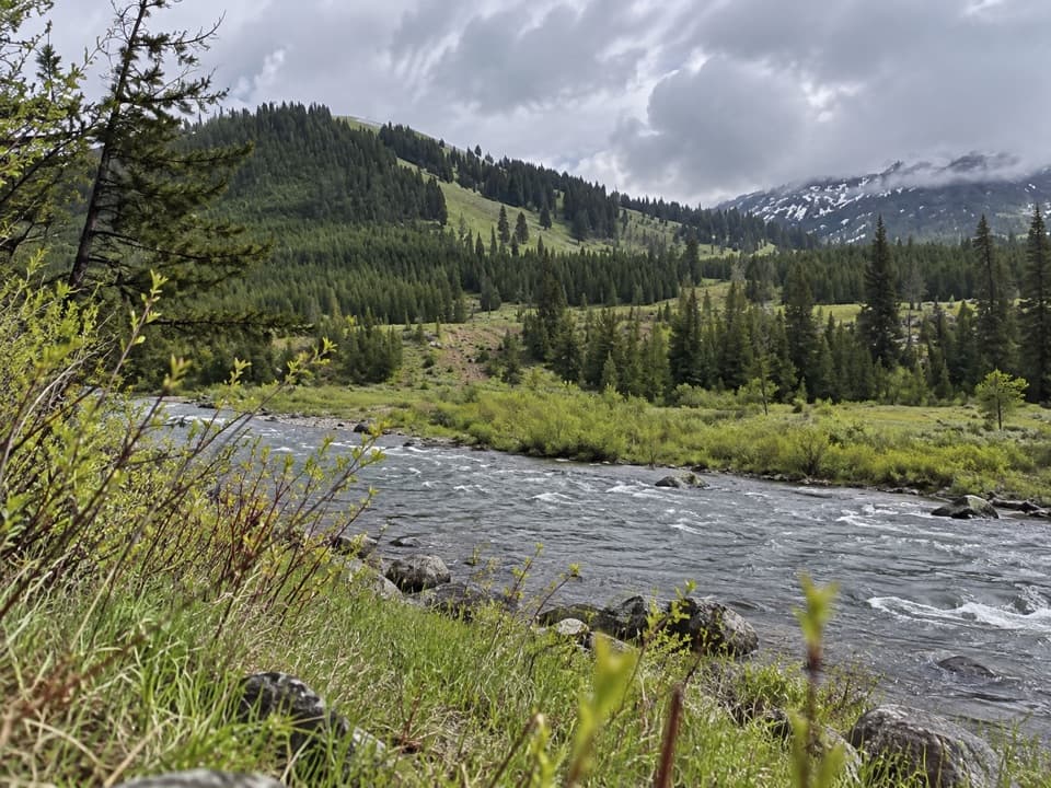 ChallengingMist Creek Trail14.3 mi · 12 hr · 3.6 mi awayBear country, a high pass, then a long descent to the Lamar.
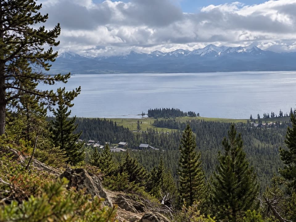 ModerateElephant Back Mountain Trail3.9 mi · 2.5 hr · 3.7 mi awayA steady forest climb to a broad Yellowstone Lake view.
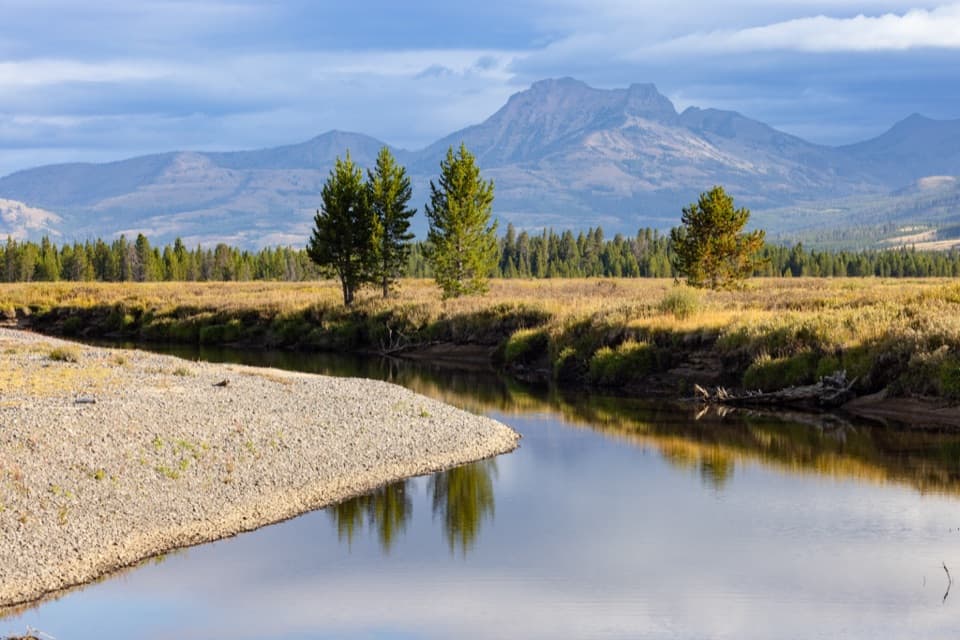 ChallengingThorofare Trail33.1 mi · 16 hr · 4.5 mi awayA 33-mile one-way trek from lake shore into remote river country.
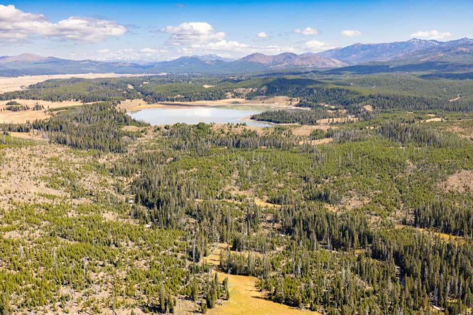 ModerateTurbid Lake Trail10.2 mi · 5 hr · 4.5 mi awayA long old road walk through forest to Turbid Lake.
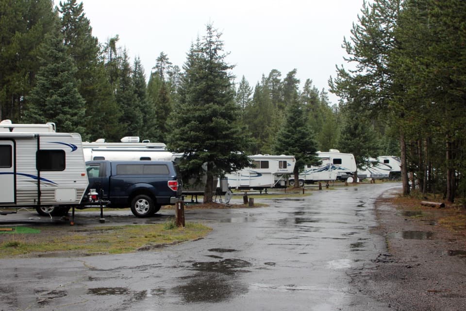 Campground · 2.1 mi awayFishing Bridge RV ParkYellowstone’s only full-hookup campground; tents aren’t allowed.
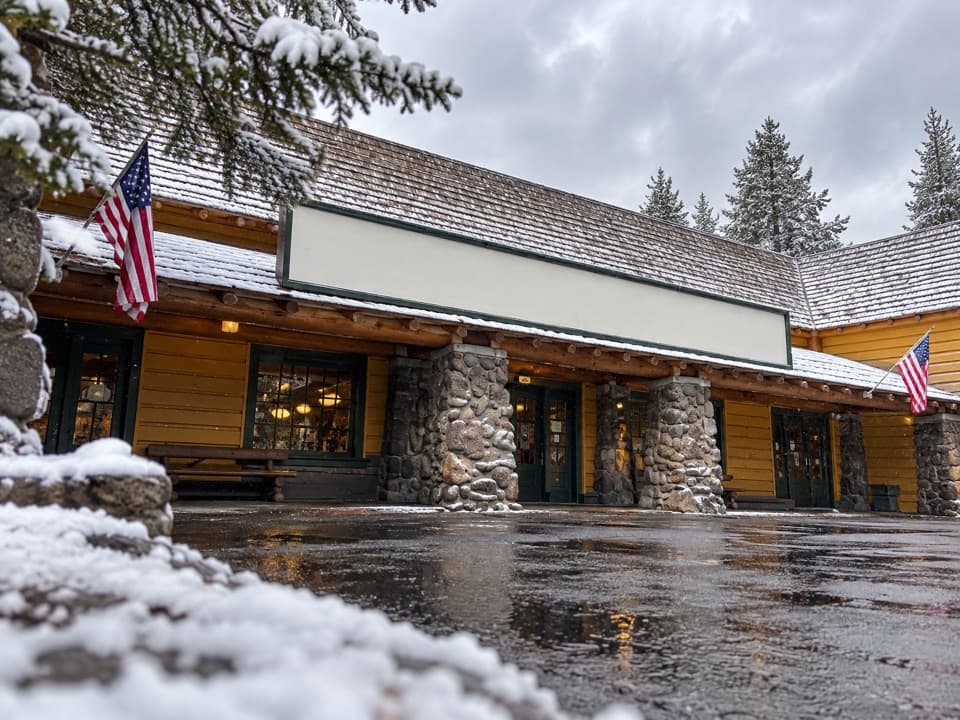 Store · 2.4 mi awayFishing Bridge General StoreGroceries, ice cream and a grill make this a useful park stop.
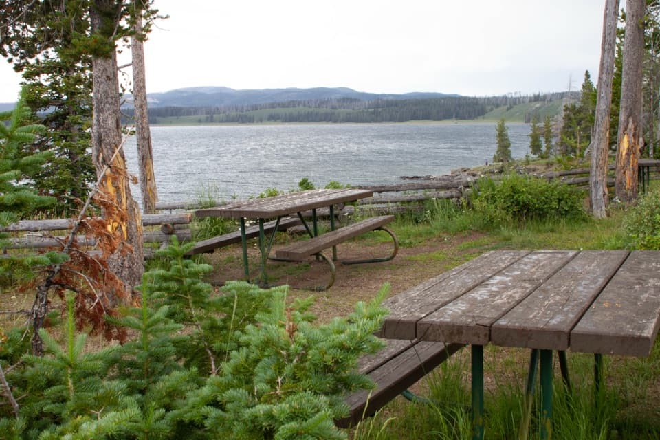 Picnic area · 2.4 mi awaySteamboat Point Picnic AreaA simple lakeside pause with four tables and a vault toilet.
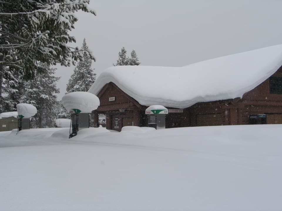 Gas station · 2.4 mi awayFishing Bridge Gas and Service StationA handy stop for fuel, repairs, towing and propane.
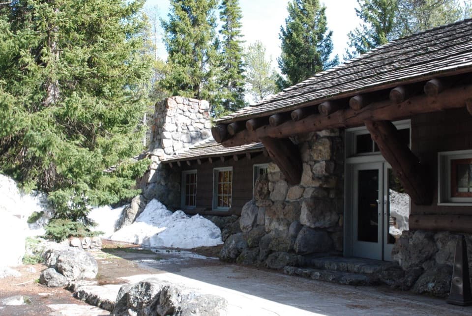 Visitor center · 2.5 mi awayFishing Bridge Visitor Center and Trailside MuseumStep into a bird museum with Yellowstone Lake just beyond the windows.
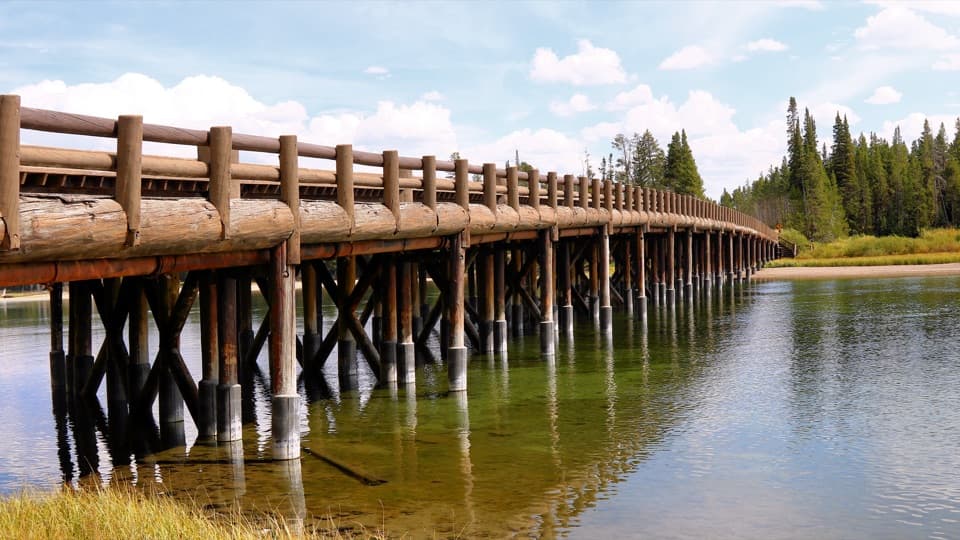 Sight · 2.7 mi awayFishing BridgeA quick fish-watching stop at a bridge closed to fishing.
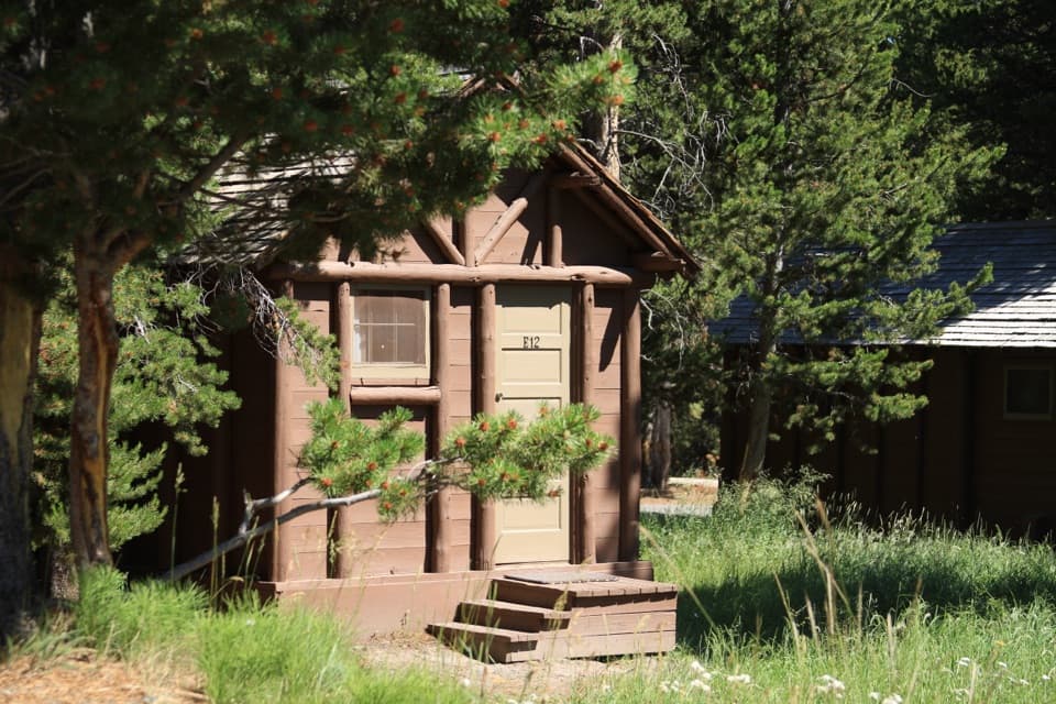 Lodging · 3.4 mi awayLake Lodge CabinsA summer cabin base with a rocking-chair view of Yellowstone Lake.
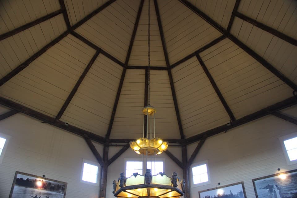 Store · 3.5 mi awayLake General StoreIce cream and general supplies in a 1919 octagonal lakeside shop.
Parkwolf’s Yellowstone ranking

The audio tour guide for the drive, plus offline maps, trails, and wildlife heatmaps for when the signal drops.





