

Place · 1.9 mi away
Moderate
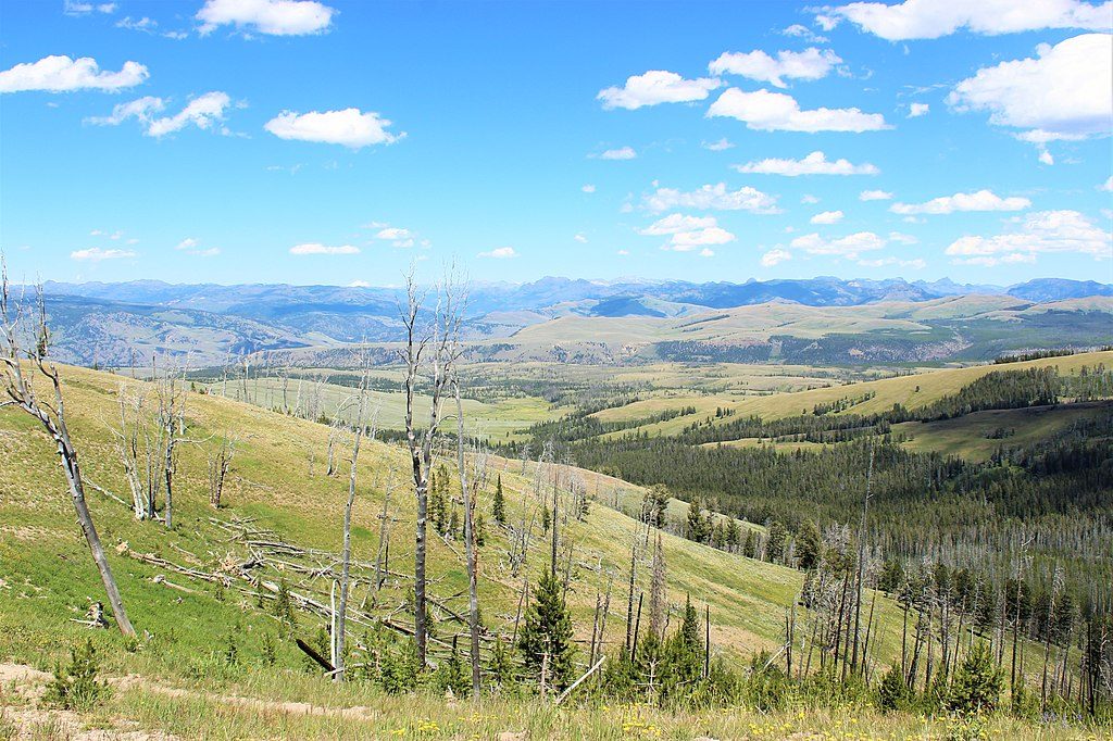
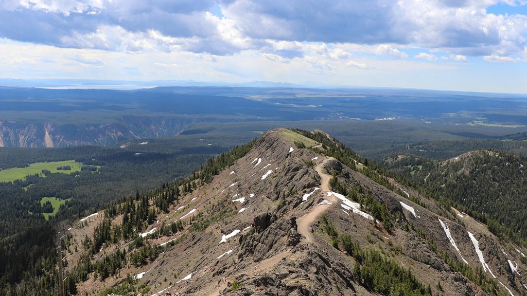
This is the shortest, most straightforward way to Mount Washburn’s 10,243‑foot summit. It’s an out‑and‑back on a wide gravel service road with steady climbing and big views almost the whole way. Expect 5.6–5.8 miles round trip with about 1,500 feet of gain—most hikers take roughly 3–3.5 hours total.
From the top, you get true 360‑degree panoramas over Yellowstone Lake, Lamar Valley, and the Beartooths—on very clear days, you may even pick out the Tetons. The summit area includes an enclosed shelter at the fire lookout with interpretive displays, seating, a viewing scope, and restrooms when facilities are open. Bighorn sheep are commonly spotted in this zone.
The surface is a graded gravel road—easy footing and simple navigation—but the exposure is real. It’s often windy and noticeably cooler up high, and storms can build fast above treeline. You may encounter occasional service vehicles and, at times, bicyclists on this route, so it doesn’t feel as “backcountry” as a singletrack. Parking at the trailhead is limited and fills quickly.
Typical season is June through October, though snow can linger into June. Wildflowers usually peak mid‑June to July depending on the snow year. Start early for cooler temps, steadier weather, and parking. If you’re chasing golden hour, this is a stellar sunset summit—but only with a stable forecast and a hard turnaround time so you’re well off the top before dark. In July’s heat, a late‑afternoon start can help avoid the worst sun, but keep a sharp eye on weather.
There’s no water on the route—carry everything. Above treeline, lightning is a real hazard; turn around if storms build. Bears are present; carry bear spray, hike in groups, make noise, and give wildlife space. Grizzly activity spikes in fall as they feed on whitebark pine nuts—this hike is not recommended in September–October. The altitude can sneak up on people; pace yourself and don’t be shy about turning around if you feel off.
Mount Washburn is part of the Absaroka Range—an ancient complex of steep stratovolcanoes active tens of millions of years before Yellowstone’s caldera formed. Along the road cuts you can spot mudflow deposits that dip away from the mountain, remnants of those volcanic slopes. It’s a neat, roadside cross‑section of the park’s deep-time story.
Bring 2–3 liters of water per person, windproof layers, a warm hat in shoulder season, sun protection, and rain gear. Trekking poles help on the descent. Bug spray and a brimmed hat are handy in horsefly season. Arrive early for parking and calmer conditions. Pets aren’t allowed on trails.
Chittenden Road parking area, 10.3 miles north of Canyon Junction; limited spaces—arrive early.
Fully exposed above treeline with frequent wind and fast-building storms; no water on route; carry bear spray and avoid hiking in Sep–Oct due to grizzly activity; altitude over 10,000 ft can affect pace and wellbeing.
Place · 1.9 mi away
Place · 2.7 mi away
Place · 3.9 mi away
Place · 5.3 mi away
Moderate · 2.7 mi away
Challenging · 5.4 mi away
Easy · 5.5 mi away
Moderate · 6.2 mi away

Parkwolf Tour Guide
