Dunraven Pass

Yellowstone’s highest pass with big views and bigger wildlife potential
Dunraven Pass, Yellowstone National Park
InsideYellowstone National Park

Overview

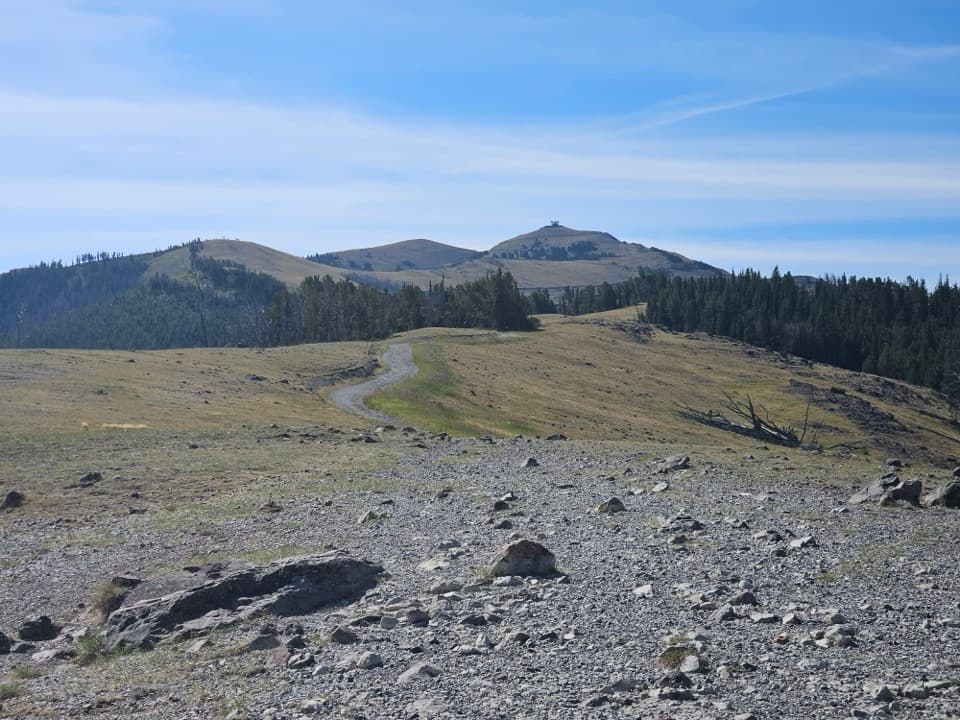
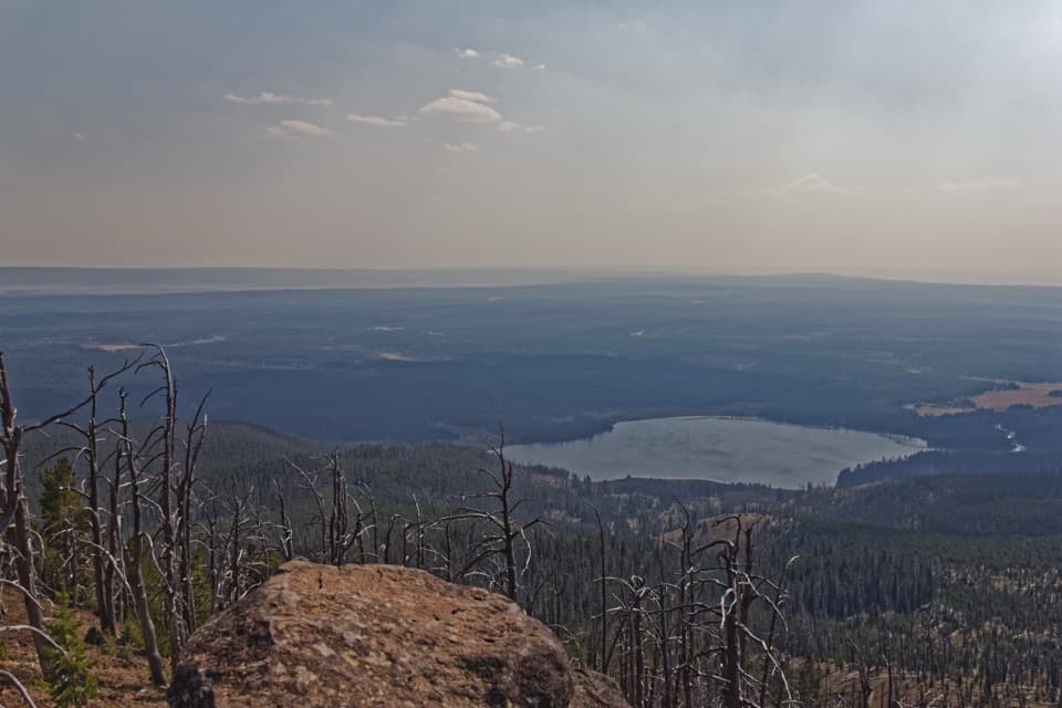
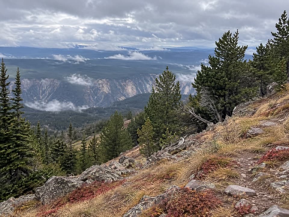
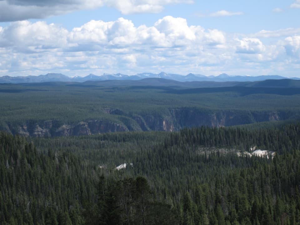
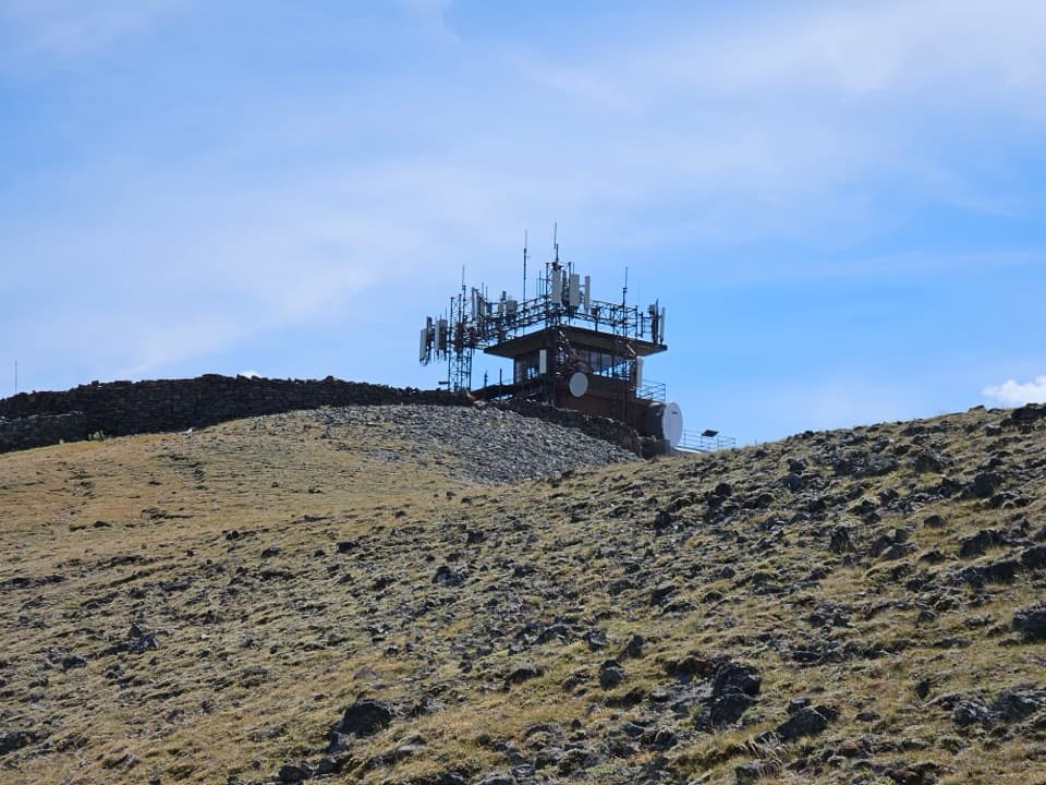
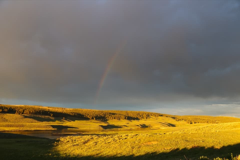
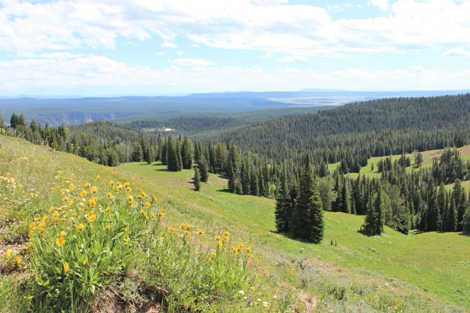
Dunraven Pass is the high point on the scenic road between Tower Junction and Canyon Village, topping out at 8,859 feet. It’s a classic Yellowstone drive: big views in both directions—north toward the Lamar side and the Absaroka Range, south toward the Yellowstone Caldera and beyond—and easy pullouts to soak it all in. It also doubles as the Mount Washburn South Trailhead, so hikers and sightseers share this spot.

Why it’s special

You cross one of the park’s highest drivable points, with that rare combo of panoramic views, frequent wildlife sightings, and a front‑row seat to Yellowstone’s geologic story—all in a single stretch of road. If you want a summit, the Mount Washburn trail climbs from the pass to 10,243 feet for even bigger vistas.

Geology you can see

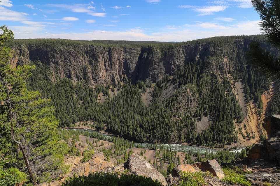
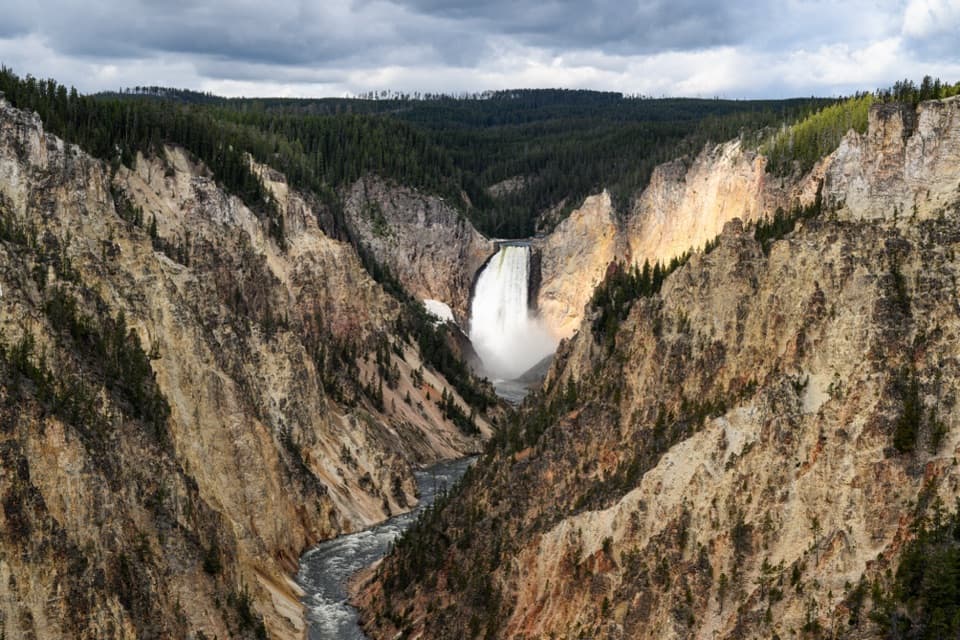
North of the pass you’re in the older Absaroka volcanic terrain—think eroded “guts” of ancient stratovolcanoes, volcanic mudflow layers, and even nearby petrified trees preserved in those old deposits. Along the canyon near Calcite Springs, look for dark, horizontal layers of columnar basalt and even natural oil seeps. As you descend toward Canyon, you transition onto younger rhyolite flows related to the Yellowstone Caldera, plus glacial leftovers like big erratic boulders. It’s a drive through tens of millions of years of Earth history in under an hour.

Wildlife

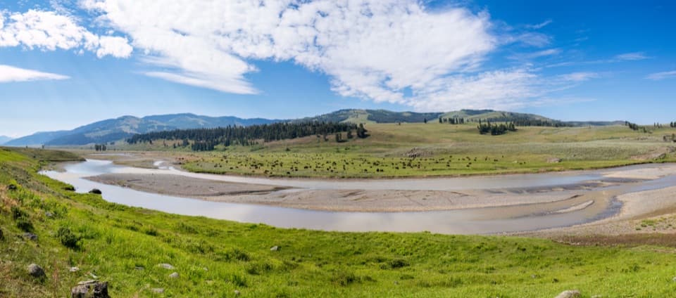
This ridge is a seasonal buffet. Nutrient‑rich Absaroka soils support whitebark pine and alpine meadows that feed everything from Clark’s nutcrackers and red squirrels to grizzly bears, which dig up cached pine nuts, flip talus rocks for moths in summer, and hit berry shrubs in fall. Bighorn sheep often work the Washburn country in early summer, and bison are commonly seen along the drive. Give animals space and use pullouts—never stop in the lane.

Hiking from the pass

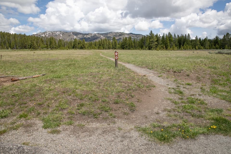
The Mount Washburn South Trail starts right here. It’s a steady climb in open, high‑country terrain with huge views the whole way. Above treeline, storms and lightning are real risks; bring layers and keep an eye on the sky. Fall brings heightened grizzly activity; consider other hikes then if that makes you uneasy.

Best time to visit

This road is a summer–fall route and closed in winter. Mornings are best for parking and wildlife; late afternoon offers gorgeous light and fewer crowds. Expect wind and chill any month up here, and occasional summer storms. Always check current road status before you go.

On‑site basics

There’s a small‑to‑medium parking lot at the pass with a vault toilet but no water. Plan accordingly and carry what you need.

Pros

  • Highest drivable pass here with sweeping, 360-degree vistas
  • Excellent wildlife watching (grizzlies, bighorn sheep) in season
  • Direct access to the Mount Washburn South Trail

Cons

  • Parking fills quickly on summer days
  • Seasonal closures and fast-changing, windy alpine weather

Tips

  • Arrive before 9 am or go late afternoon to beat the parking crunch.
  • Check current road status; this segment closes in winter and occasionally for construction.
  • Bring layers, water, and sun protection—wind and storms are common at altitude.
  • Carry bear spray and give wildlife plenty of space; use pullouts, not the travel lane.
  • If hiking Mount Washburn, start early and be weather‑ready; avoid fall if bear activity concerns you.
The Parkwolf tour guide sitting on a phone mounted in a car

Parkwolf Tour Guide

Like a tour guide in your car.

Save the places you found around Yellowstone, then let Parkwolf guide the drive between them.Download Parkwolf on the App Store