
Place · 0 mi away
Moderate
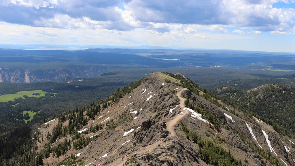
Mount Washburn tops out at 10,219 feet and dishes out true, all-directions Yellowstone panoramas—from the Grand Canyon of the Yellowstone to the Absaroka and Beartooth ranges, with Yellowstone Lake and Lamar Valley in the mix. A historic fire lookout crowns the summit, with interpretive exhibits and bathrooms when open. Expect exposure and wind up high; this is a classic summit hike for good reason.
You’ve got two main ways up:
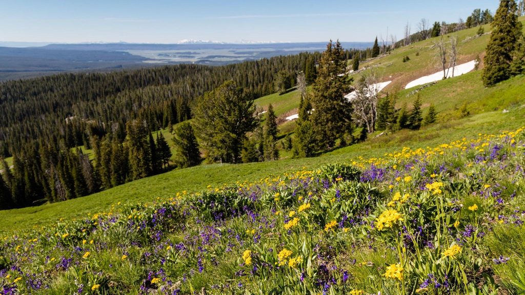
This is a viewpoint parade: cliff bands of the canyon, far-off Beartooths, and big-sky country in every direction. Keep an eye out for bighorn sheep, mountain goats, and pikas near the talus. On clear afternoons the light can be spectacular; many hikers love timing the summit for late-day views. Wildflowers typically pop in July.
Prime season is summer into early fall. Early season (even mid-June) can keep snow lingering on the upper half, and the lookout facilities may be closed. Late season brings colder temps and notorious summit winds. Start early for cooler temps, easier parking, and thinner crowds; late-day light is beautiful, but bring layers and a headlamp if you flirt with sunset.
This is fully exposed alpine terrain: lightning is a real hazard above treeline, and winds can be fierce even in midsummer. Grizzly bears frequent the area in fall (especially September–October) to feed; hiking then is not recommended. Carry bear spray, make noise, and give all wildlife space. Snow can persist into June, and conditions change quickly—bring warm layers and a windproof shell.
If you want Yellowstone’s biggest bang-for-buck summit, this is it. Choose Dunraven for a steadier, classic climb; pick Chittenden if you want a shorter push (or to bike the approach). Come prepared for wind, sun, and altitude, and you’ll be rewarded with one of the park’s signature views.
Dunraven Pass trailhead (about 4.5 miles north of Canyon Junction) has limited parking and a vault toilet; the Chittenden Road lot serves the shorter, steeper north approach. Arrive early—lots fill quickly in summer.
Exposed alpine hike with frequent strong winds and lightning risk; no water on trail. Grizzlies are active in fall (Sept–Oct), and hiking then is not recommended. Snow can linger into mid-June. Check Dunraven Pass access before you go.
Place · 0 mi away
Place · 1.2 mi away
Place · 1.3 mi away
Place · 3.8 mi away
Moderate · 2.7 mi away
Challenging · 2.8 mi away
Challenging · 4 mi away
Moderate · 4.2 mi away

Parkwolf Tour Guide
