
Place
Moderate
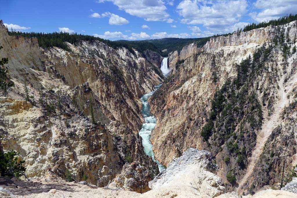
This Yellowstone stretch of the Continental Divide Trail strings together big-water wilderness and pocketed geothermal surprises. Expect long, mostly gentle miles that the Continental Divide Trail Coalition characterizes as Easy–Moderate, with the route often hugging lakes, threading meadows, and brushing hot springs and geysers near Heart Lake.
Plan on roughly 50.6 miles across the commonly walked Yellowstone CDT corridor between the Fox Park area and the Howard Eaton Trailhead, typically done as a multi-day backpack. If you want CDT flavor without committing to the full traverse, the corridor offers two classic loop options: about 28 miles around Shoshone Lake and about 34 miles around Heart Lake. Those loops can be shortened into day hikes from the same access points.
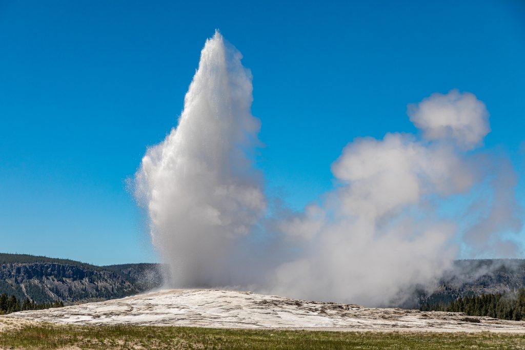
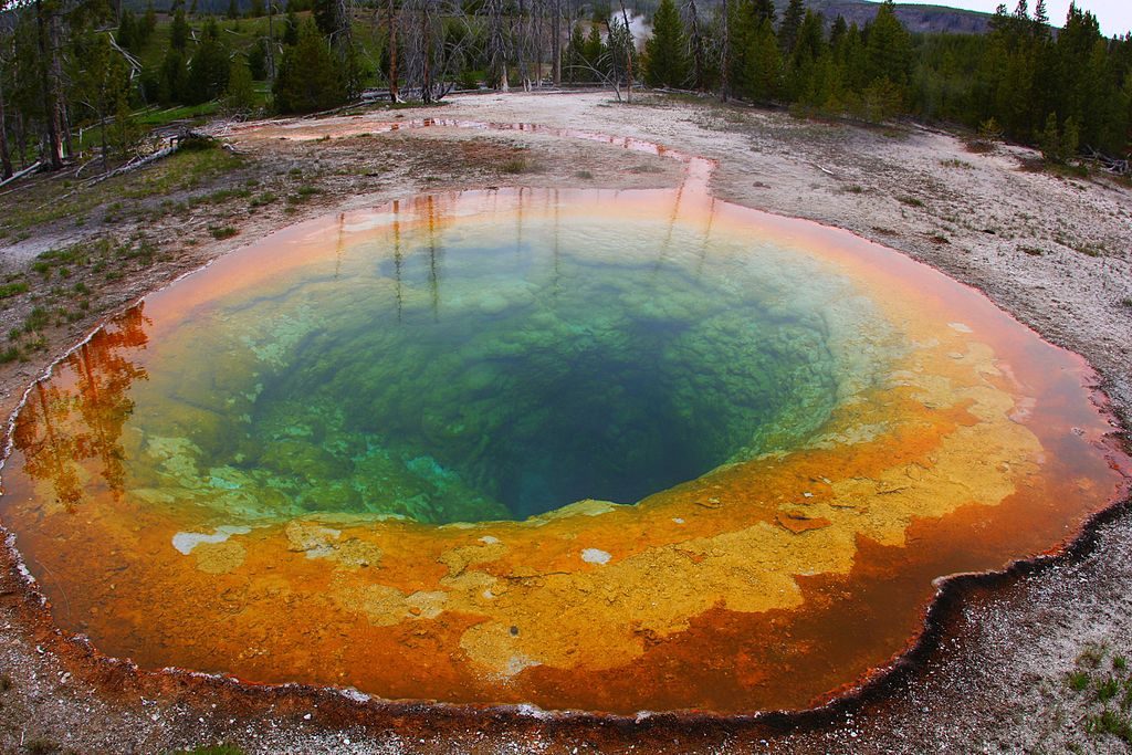
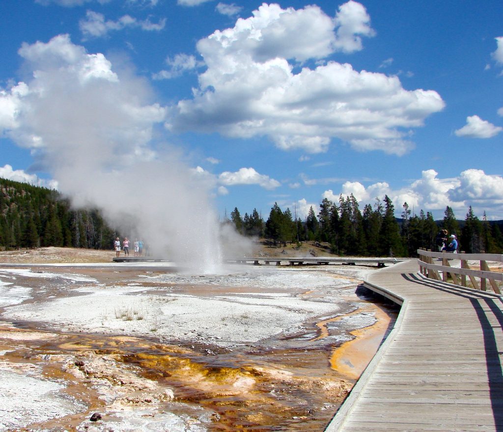
Shoshone Lake is the largest lake in the contiguous U.S. without road access, and it feels like it—broad, quiet, and wild. Early mornings along the shoreline can be very wildlife-forward. Around Heart Lake (the park’s fourth-largest), the CDT corridor picks up an alpine vibe with nearby hot springs and geysers—real Yellowstone backcountry character right on the Divide. Bring a camera; sunrise and calm conditions make for mirror-still water and moody steam.
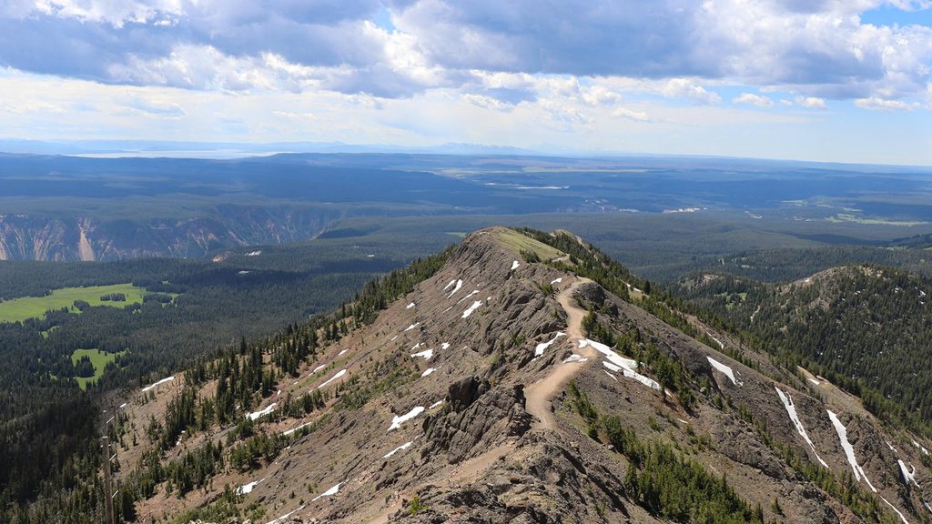
Underfoot, you’ll see a mix of lakeshore singletrack, forest, and meadow walking with moderate elevation profiles. Mosquitoes can be fierce in season, and in places the tread can fade to “faint path,” with the possibility of stream crossings or lingering snow despite otherwise dry travel. Treat the distance with respect even if the contour lines look kind.
From the south entrance corridor, the Heart Lake Trailhead sits roughly 14 miles in on the right; shortly after, the Dogshead/Channel Trailhead to Shoshone Lake is on the left. Carry detailed maps (USGS quads Mount Sheridan, Lewis Falls, Shoshone Geyser Basin, Old Faithful; Trails Illustrated #201C; CDT Mapset WY21–WY22). Inside the park, don’t rely solely on car GPS or app routing—official maps are more dependable. Thru-hikers commonly detour to Grant Village for services. Day hiking requires no backcountry permit, but overnight trips need a Yellowstone backcountry permit; there is also a park entry fee. For current conditions and permits, the Yellowstone backcountry office can help at (307) 344-7381.
Start early for calm water, softer light, and better wildlife viewing along the lakes. Weekdays are quieter than weekends near popular access points. Mosquito pressure can be significant—bring headnets and repellent when they’re active. Always check with the backcountry office for seasonal openings, snowpack, and thermal-area advisories before you commit.
Use the Heart Lake Trailhead (about 14 miles past the south entrance, on the right) for Heart Lake/CDT access, or the Dogshead/Channel Trailhead (shortly after, on the left) for Shoshone Lake/CDT access. Both are along the US-191/287/89 corridor entering from the south.
Carry bear spray and know how to use it; wildlife activity is common along lake shorelines. Expect significant mosquitoes in season. Stay on established paths near hydrothermal features—thin crusts are dangerous. Navigation apps and vehicle GPS can be inaccurate in the park; rely on official maps. Stream crossings and lingering snow are possible.
Place
Place
Place
Place
Easy
Easy
Moderate
Moderate

Parkwolf Tour Guide
