Parking
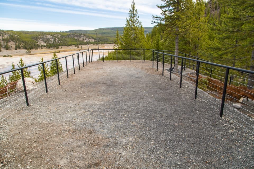
Start at the Wapiti Lake Trailhead lot on South Rim Drive, just east of Chittenden Bridge. Follow the paved approach across the bridge to the signed North Rim Trail. Other North Rim viewpoint lots allow shorter walks.
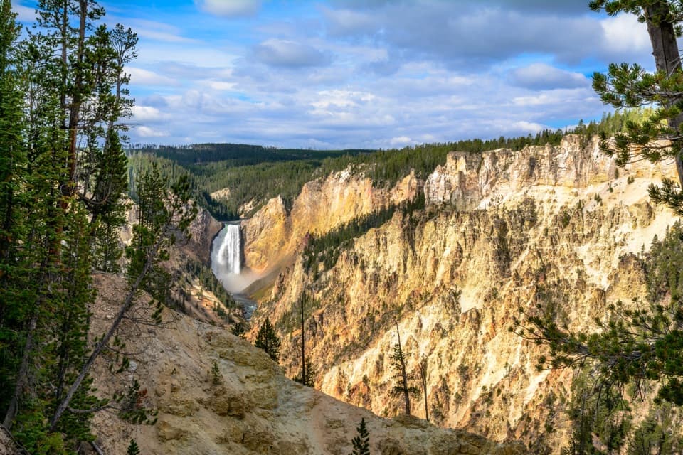
#7 of 167 trails in Yellowstone
Yellowstone National Park, WY · MT · ID
Connect the North Rim's waterfalls and canyon overlooks on foot.
Overview
Map & elevation
Plan your hike

The highest, rockiest slopes around here are a summer buffet for grizzly bears.
Yellowstone Tour Guide
Parkwolf is a GPS audio tour guide for Yellowstone National Park. As you drive, it chimes in with what’s ahead: hidden gems, upcoming stops, history, geology, and wildlife, right through your car’s speakers.
See the Yellowstone audio tourRecorded for this trailhead
Chittenden Bridge and South Rim Trail“You’re approaching Chittenden Bridge Picnic Area, a useful lunch stop beside Wapiti Lake Trailhead.”
Plays as you drive up to this trailhead in the Parkwolf Yellowstone Tour Guide.
More stories near here in the app
“First time driving through a national park. We used the Yellowstone tour on grand loop Road and it’s just like having a tour guide in your car with you.”


Trail guide
The North Rim Trail is a long out-and-back from Wapiti Lake Trailhead to Inspiration Point, linking Upper Falls, Crystal Falls, Lower Falls overlooks and the canyon rim along the way. This mapped version is about 7.0 miles round trip and takes roughly four hours with time to stop at the viewpoints. Its total includes the paved approach from the trailhead and short walks out to Upper Falls, Crystal Falls, Lookout Point and Grand View. Published totals cluster around 6.6 to 6.8 miles; the difference comes from start points and which viewpoint paths count. Plan for about seven miles. You return along the same rim corridor. The steep Brink of Lower Falls and Red Rock Point descents are optional add-ons and are not included.
This is a moderate half-day walk with a mix of easy path, stairs, paved overlook walks and wooded dirt trail. Drive between viewpoint lots for a shorter visit, but that changes the outing.
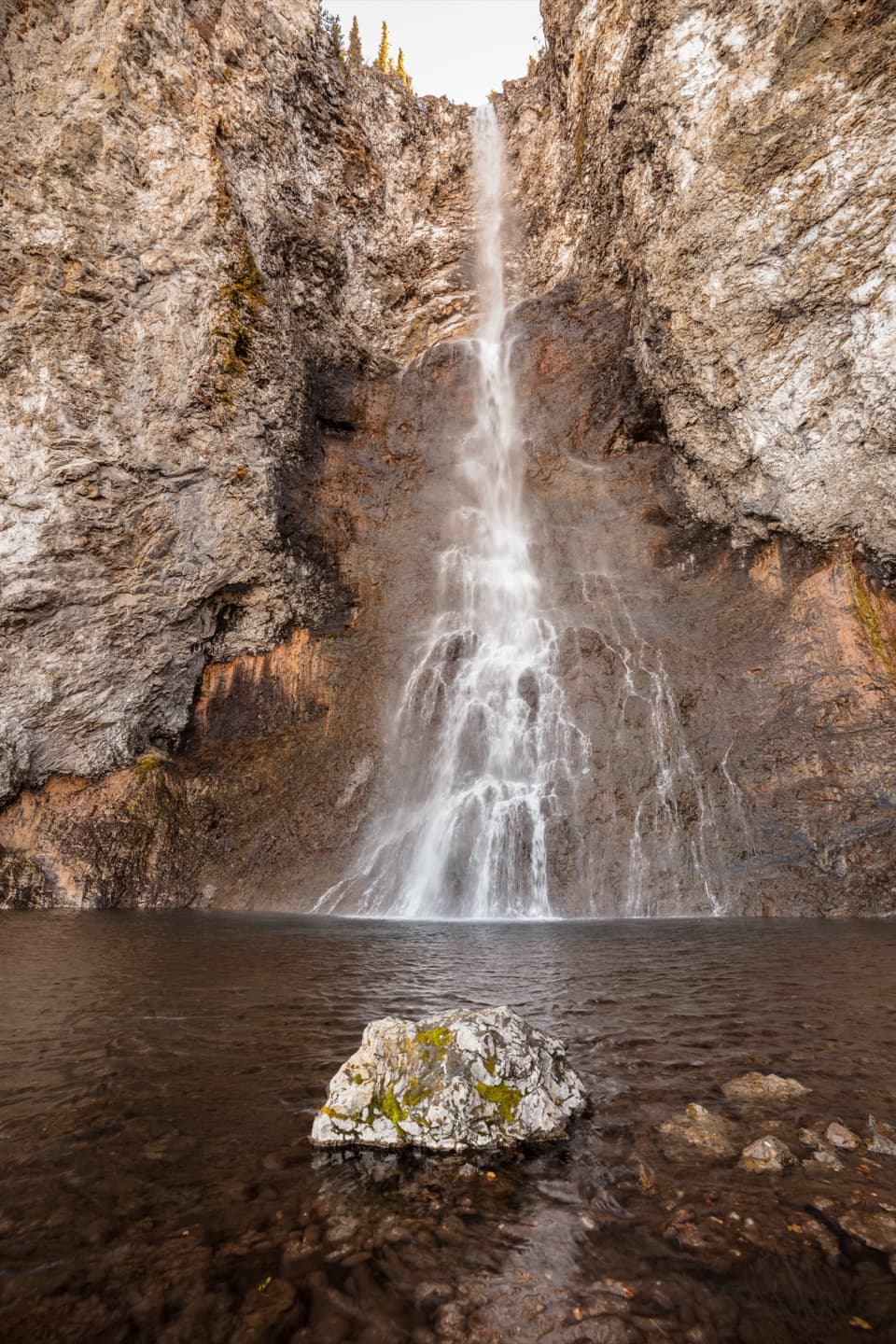
Start at Wapiti Lake Trailhead and follow the paved approach across Chittenden Bridge to the signed North Rim route. The first stretch follows an old road and is relatively easy walking. A short stair path leads to the brink overlook at Upper Falls; climb back to the main route and continue past the viewpoint parking to the signed trail. The 109-foot waterfall is a close, forceful first look at the river cutting through the canyon.
A short spur reaches the Crystal Falls overlook. The main path crosses Cascade Creek just above the falls, then follows the rim with river views and occasional looks back toward Upper Falls. At the Lower Falls parking area, paved paths connect several overlooks above the canyon. You can see the river approach the brink and watch the walls shift from dark forest to bright, banded rock.
The separate Brink of Lower Falls path drops down nine paved switchbacks to a much closer view, then climbs back up. Red Rock Point is another separate steep descent. Both add substantial stair climbing; leave them out if you want to keep this route at about seven miles.
Past the Lower Falls viewpoints, the route alternates between paved rim walks and wooded dirt trail. Lookout Point, Grand View and the overlooks toward Inspiration each frame a different reach of the river. Beyond Grand View, the trail grows quieter as it winds through trees with occasional openings toward the canyon. Inspiration Point is the far end of this itinerary; walk the short endpoint paths for the broad view, then retrace your steps to Wapiti Lake.
Lower Falls drops 308 feet and Upper Falls 109 feet. The canyon began forming roughly 160,000 to 140,000 years ago. Hot water altered and weakened parts of the volcanic rhyolite, making them easier for the river to wear away. The result is a wall of orange, yellow, brown and green bands, with the river still shaping the gorge. Late afternoon and early evening can bring warm light to the canyon walls.
Osprey nests cling to pinnacles around Canyon Village, visible from parts of the rim. The park reports that six to ten nests are usually occupied; adults return from mid-April to early May, and families generally leave by September. Look from the trail and overlooks, and keep your distance from nest sites.
The full walk begins at the Wapiti Lake Trailhead lot on South Rim Drive, just east of Chittenden Bridge; cross the bridge on the paved approach to reach the signed trail. Other North Rim viewpoint lots provide shorter access to the paved overlook paths. Pets are allowed only in parking areas, so they cannot accompany you on this hike. Stay on designated paths near the rim, and take care on the stair approaches and exposed viewpoints. Plan food, water and restroom needs before leaving the developed canyon area.
Wildlife
 713 sightingsGrizzly BearMost seen around 6 AMSighting map
 743 sightingsWolfMost seen around 6 AMSighting map
 5,273 sightingsBisonMost seen around 7 AMSighting map
 3,258 sightingsElkMost seen around 7 PMSighting map
 397 sightingsMooseMost seen around 7 PMSighting map
 1,494 sightingsBlack BearMost seen around 7 PMSighting map
Sighting maps show where each species has been reported across Yellowstone. Wildlife moves, so no sighting is guaranteed.
Keep exploring
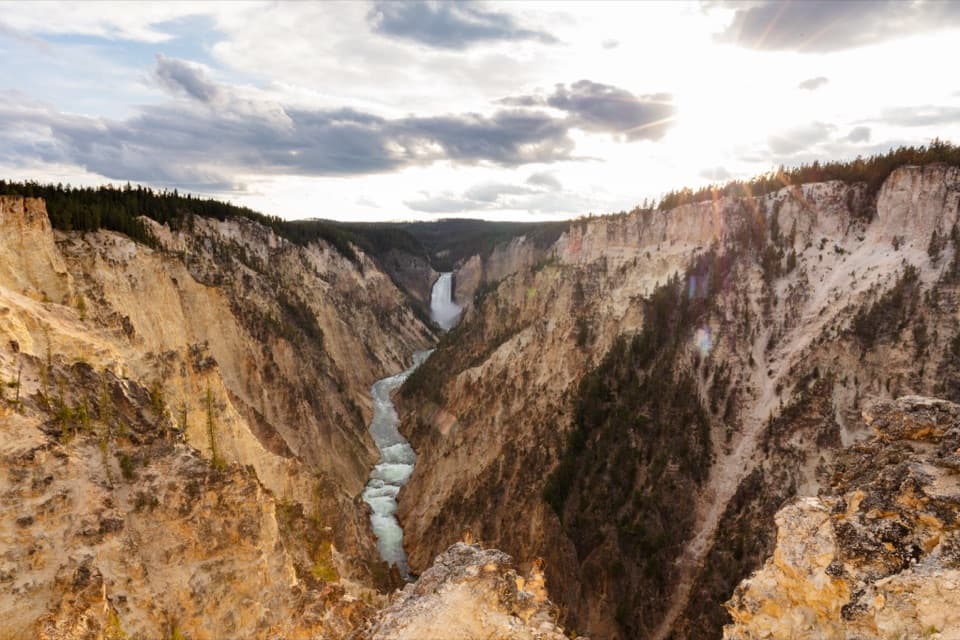 ModerateSouth Rim Trail3.6 mi · 2 hr · At the trailheadUpper and Lower Falls, with canyon views between them
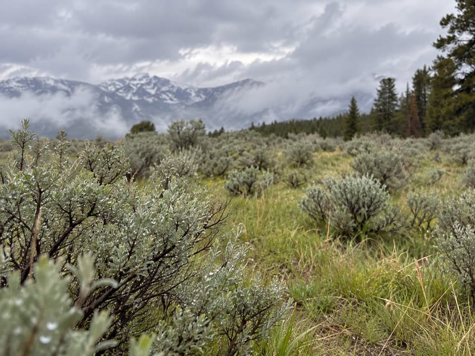 ModerateSour Creek Trail5.2 mi · 2.5 hr · 0.1 mi awayMeadows, steam vents and creek crossings in Sour Creek country
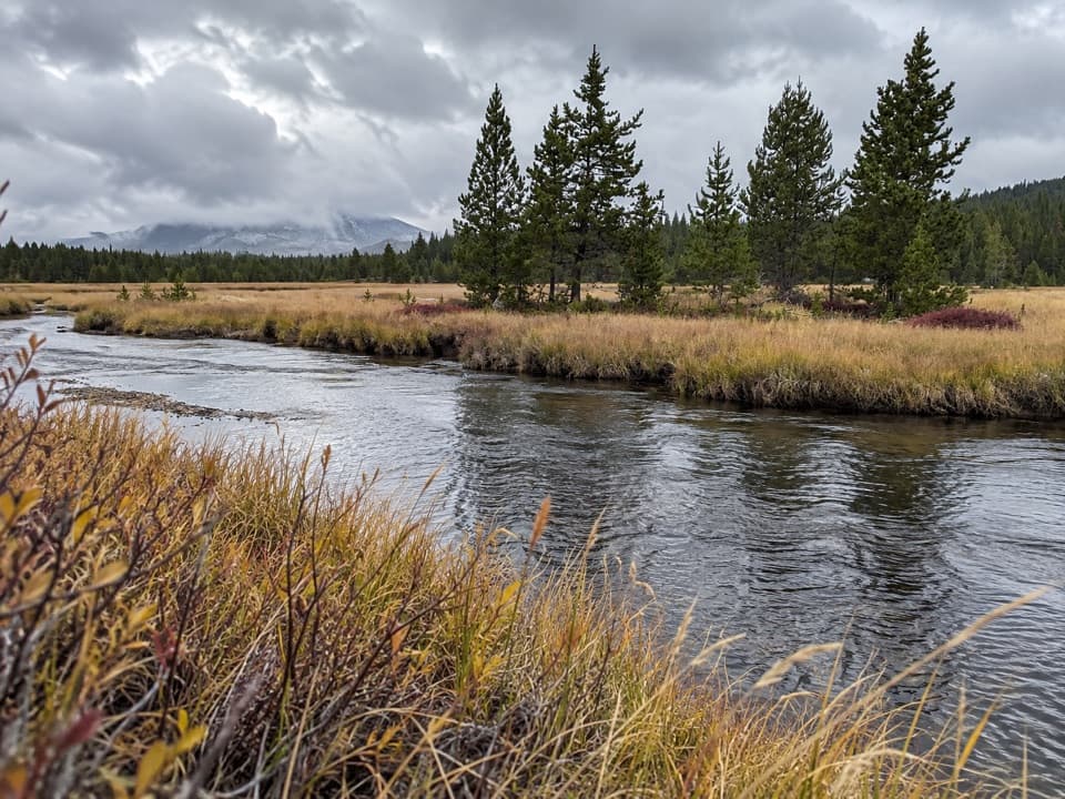 ModerateWrangler Lake Trail8 mi · 4 hr · 0.1 mi awayCreek crossings lead through Hayden Valley to a backcountry lake.
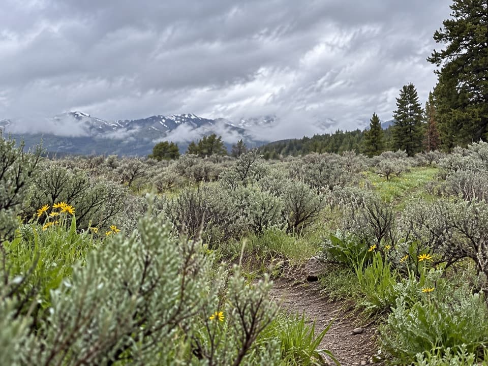 ChallengingWapiti Lake Trail30.6 mi · 13 hr · 0.1 mi awayA 30.6-mile backcountry round trip to camps near Wapiti Lake.
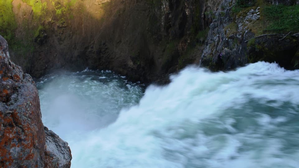 EasyBrink of the Upper Falls Trail0.3 mi · 24 min · 0.5 mi awayA short, stair-stepped walk to Yellowstone's 109-foot Upper Falls.
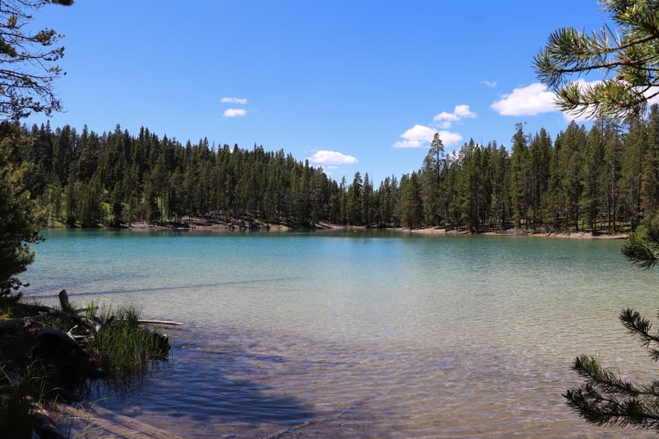 EasyClear Lake Trail1.4 mi · 1 hr · 0.6 mi awayA gentle short walk to a bubbling, spring-fed lake.ModerateClear Lake–Ribbon Lake Loop Trail6.1 mi · 3.5 hr · 0.6 mi awayThermal ground, two lakes, and a canyon rim return.
 ChallengingBrink of the Lower Falls Trail0.7 mi · 1 hr · 0.8 mi awayA close Lower Falls view after a steep, stepped descent.
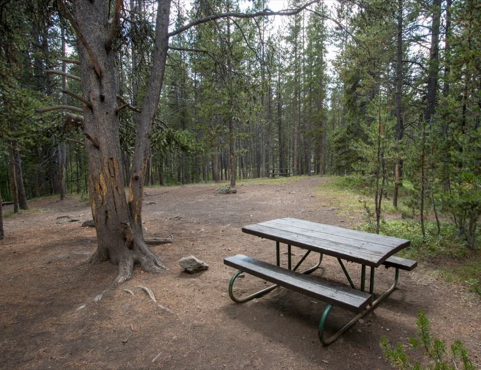 Picnic area · 0.1 mi awayChittenden Bridge Picnic AreaA handy picnic break beside the Wapiti Lake Trailhead.
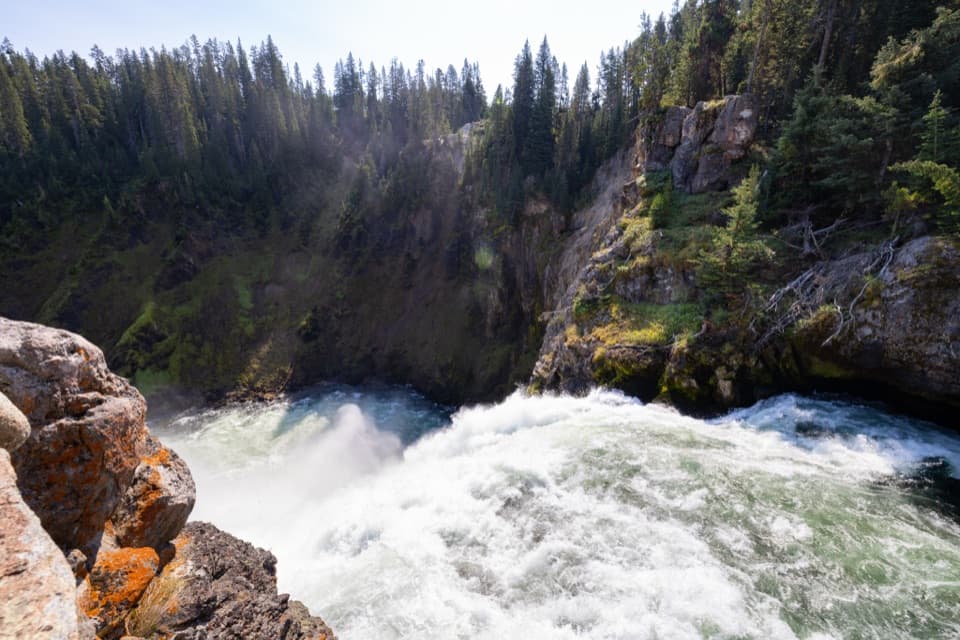 Sight · 0.4 mi awayBrink of the Upper FallsSee the river spill over a 109-foot fall up close.
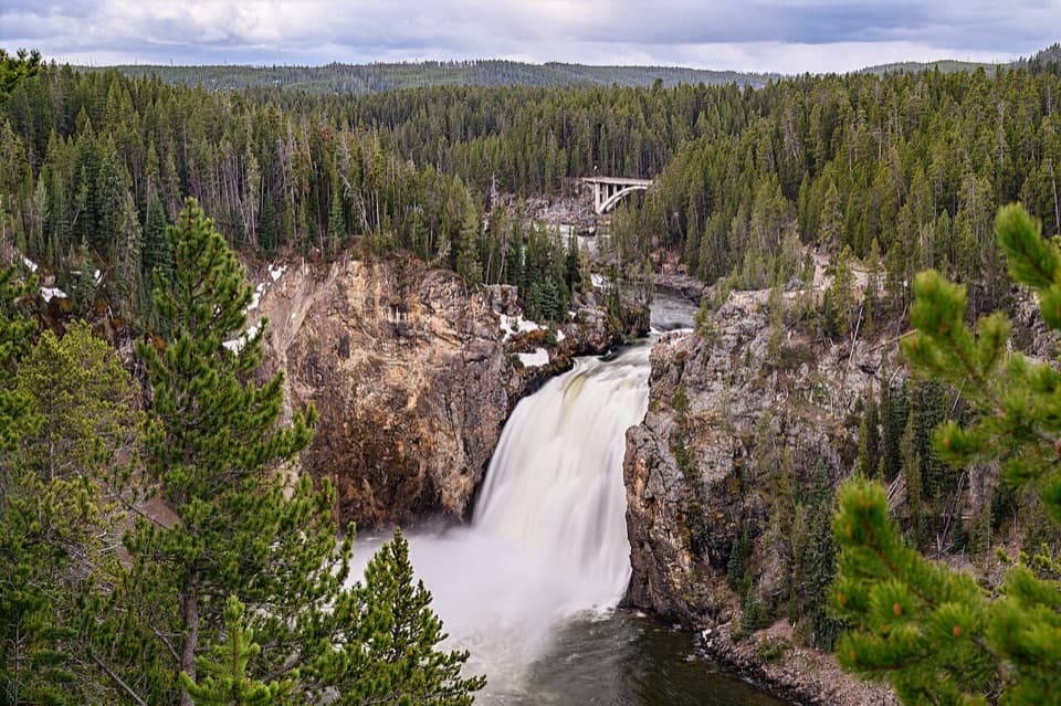 Sight · 0.5 mi awayUpper Falls ViewpointsSouth Rim stop for a close look at 109-foot Upper Falls.
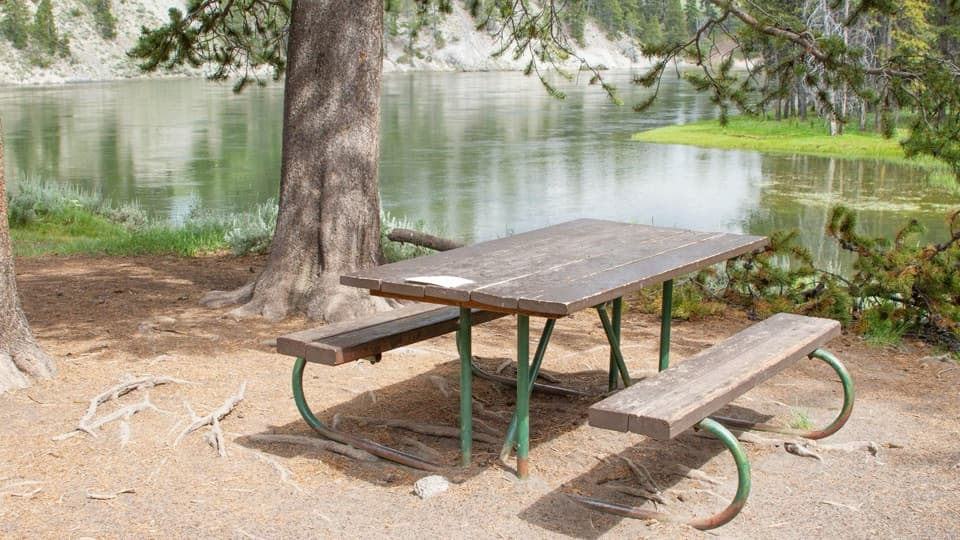 Picnic area · 0.7 mi awayOtter Creek Picnic AreaA riverside meal stop; bring your own food and water.
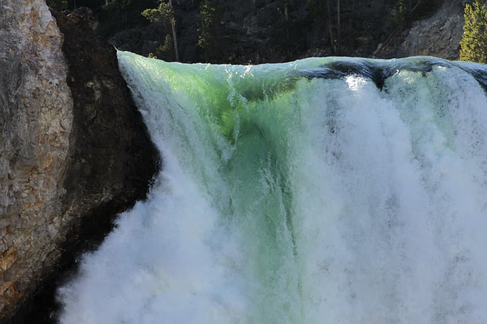 Sight · 0.8 mi awayBrink of the Lower FallsGet close enough to feel the Lower Falls' roar.
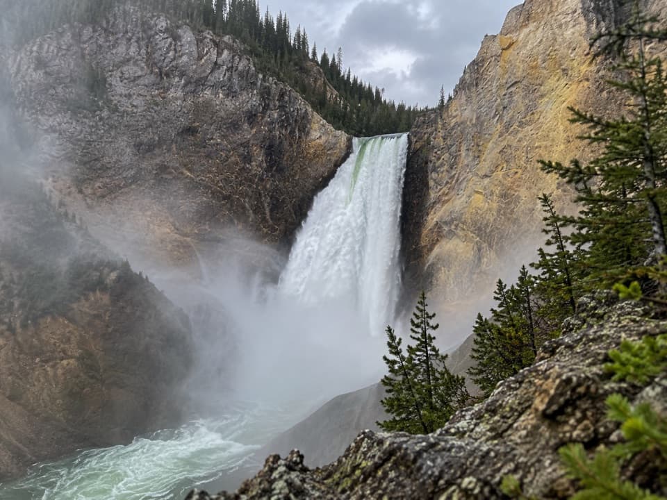 Sight · 1 mi awayRed Rock PointA close Lower Falls view after a steep climb back out.
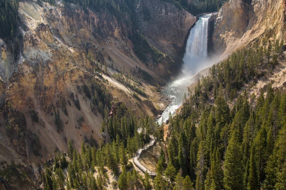 Sight · 1.1 mi awayLookout PointThe Lower Falls fills the canyon from this north-rim perch.
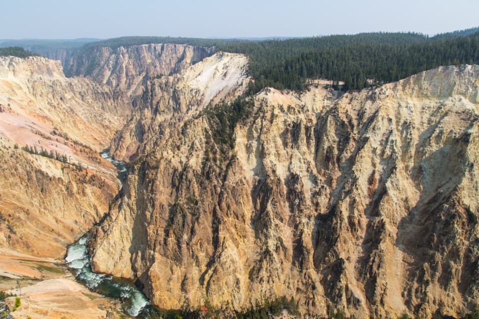 Sight · 1.4 mi awayGrand ViewA broad canyon view, with the river and Lower Falls far below.
Parkwolf’s Yellowstone ranking

The audio tour guide for the drive, plus offline maps, trails, and wildlife heatmaps for when the signal drops.