
Place
Moderate
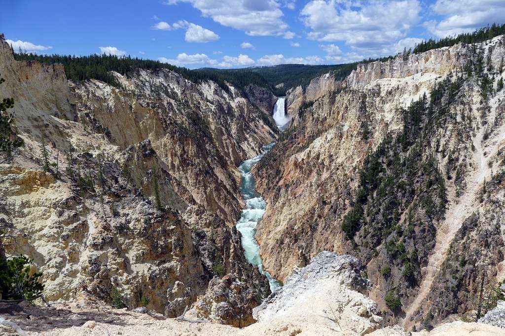
This historic slice of the Howard Eaton Trail is a point‑to‑point, mostly downhill 3.9‑mile walk that strings together classic Yellowstone contrasts: forested benches, big‑view overlooks, surreal travertine boulders, and a finale through Mammoth’s upper terrace country. It’s moderate overall—family‑friendly if your crew is steady on their feet—but it is true backcountry with wildlife and a steep finish into Mammoth.
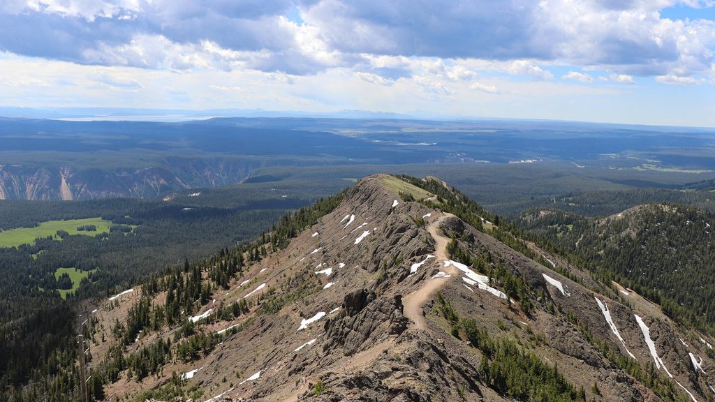
Start near the Golden Gate/Rustic Falls area by the Glen Creek Trailhead. The trail climbs about 150 feet in the first half‑mile to a high point with sweeping looks toward Bunsen Peak, Swan Lake Flat, and the Gallatin Range while the highway threads far below through the Golden Gate. From there, the grade tips downhill and threads into the Hoodoos (also called the Silver Gate)—a jumble of towering, gray travertine blocks that broke from ancient hot‑spring terraces on Terrace Mountain. Expect some narrow, rocky tread here.
Around 2.6 miles, you’ll cross the Snow Pass Trail. Near 2.8 miles the character changes as the route enters the upper Mammoth Terrace area. Follow the orange markers carefully through sensitive hydrothermal terrain as you pass the striking Orange Spring Mound, remnants of New Highland Terrace, and Narrow Gauge Springs & Terrace. The last 0.3 miles drop steeply—over 200 feet—to a junction with the Beaver Ponds Loop, then a short finish into Mammoth.
This is a net‑downhill hike with roughly 1,000 feet of descent toward Mammoth, including a steep final plunge that can be slick when wet or icy. The singletrack is generally easy to follow, but expect narrow bench cuts, rocky sections near the Hoodoos, and wayfinding attention in the terrace zone. Early‑season snow patches (May/early June) and occasional muddy or brushy stretches are possible, with mosquitoes later in the season.
You’re in bear country, and bison and elk also use this corridor. Carry bear spray, make noise, and give wildlife space—at least 100 yards from bears and 25 yards from bison and elk. In the upper terraces, stay on the marked route; hydrothermal ground can be fragile and dangerous.
Most hikers prefer traveling toward Mammoth to enjoy the unfolding views and forgiving grades. Set up a shuttle or leave a second car at Mammoth to avoid a long road walk back. Trekking poles help on the sustained descent and the steep final drop. Long pants are handy for occasional brush, and sturdy footwear is a must. Dogs are not allowed.
Late spring through fall (May–October) is the sweet spot. In May and early June, expect lingering snow patches; by midsummer, the terrace area can feel hot and exposed on sunny afternoons. For softer light and fewer people, go early or late in the day, especially if you want photos around Orange Spring Mound and the terrace features.
Begin near the Glen Creek Trailhead on the west side of the Mammoth–Norris Road just south of Rustic Falls; leave a second car near Mammoth (by the Beaver Ponds Loop area) or arrange a shuttle.
Bear country; carry spray and keep distance (100 yards from bears, 25 yards from bison/elk). Narrow, rocky benches near the Hoodoos and a very steep final drop. In the upper terraces, follow orange markers—thermal ground is fragile and hazardous. Early‑season snow, mud, and mosquitoes are possible.
Place
Place
Place
Place
Easy
Easy
Moderate
Moderate

Parkwolf Tour Guide
