
Place · 0 mi away
Easy
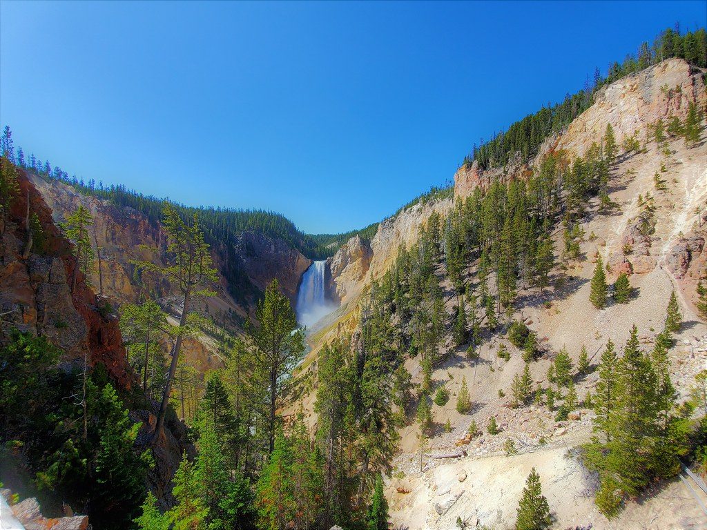
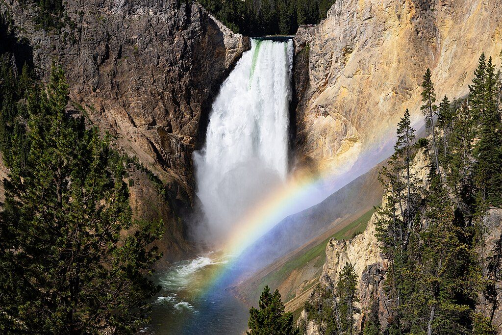
This is the classic Lower Falls viewpoint on Yellowstone’s North Rim—a tiny stroll that delivers a massive payoff. The walk to Lookout Point is just 0.15 miles round trip (total) with about 25 feet of elevation change, ending at a railed overlook with a direct, head-on view of the 308‑foot Lower Falls thundering into a canyon nearly 1,000 feet deep. Expect 13 steps down to the final platform. It’s more of a “wow” stop than a true hike, but it belongs on any first-time Yellowstone itinerary.
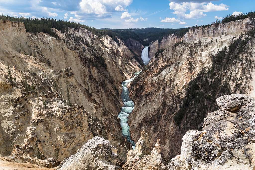
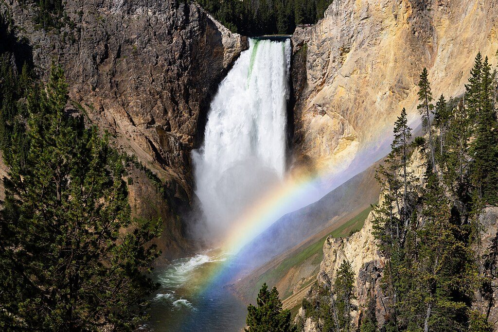
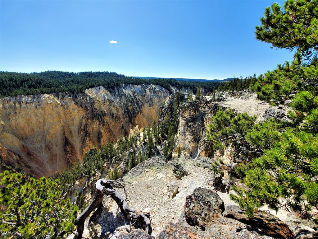
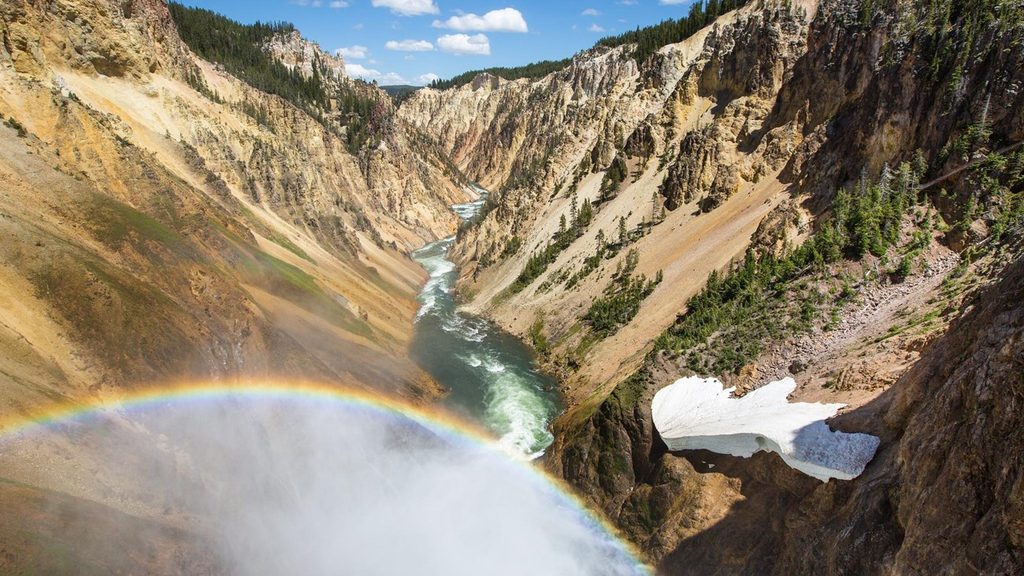
From the rail you’ll stare straight into the Grand Canyon of the Yellowstone, where the river slices through hydrothermally altered rhyolite. The oxidized iron paints the canyon walls in surreal bands of yellow, orange, and red—colors that pop especially in softer morning light. It’s one of the park’s most photogenic scenes and a reliable place to feel the sheer power of the river and falls.
Keep it quick with the Lookout Point spur alone, or fold it into a short outing on the North Rim Trail. From this stop you can continue east to other overlooks like Grand View and Inspiration Point, or drop steeply on the Red Rock Point spur for a closer, louder perspective of the Lower Falls. A popular sampler linking Red Rock Point, Lookout Point, and Grand View runs about 2.1 miles out and back with roughly 400 feet of total gain.
The path is paved/boardwalk in places and generally easy, but Lookout Point itself includes stairs, which can limit wheelchair access. The nearby parking area has a designated accessible space. If you need the least effort for the biggest view, this is it—but be aware of the stair section.
Arrive early or late in the day to avoid the worst of the crowds and tour bus waves. Morning typically gives the most flattering light on the falls from this angle. Midday is busiest and harshest for photos, though the view is impressive any time. Summer and shoulder seasons are prime; roads can have seasonal closures—always check current park info before you go.
Use official park maps for navigation; GPS can be unreliable in Yellowstone. Stay behind railings—this rim is steep, unforgiving terrain. No special permit is required beyond the park entrance fee. If you’re deciding between viewpoints, Lookout Point is the fastest way to get that postcard Lower Falls shot; if you want a more immersive feel, add the steep Red Rock Point spur.
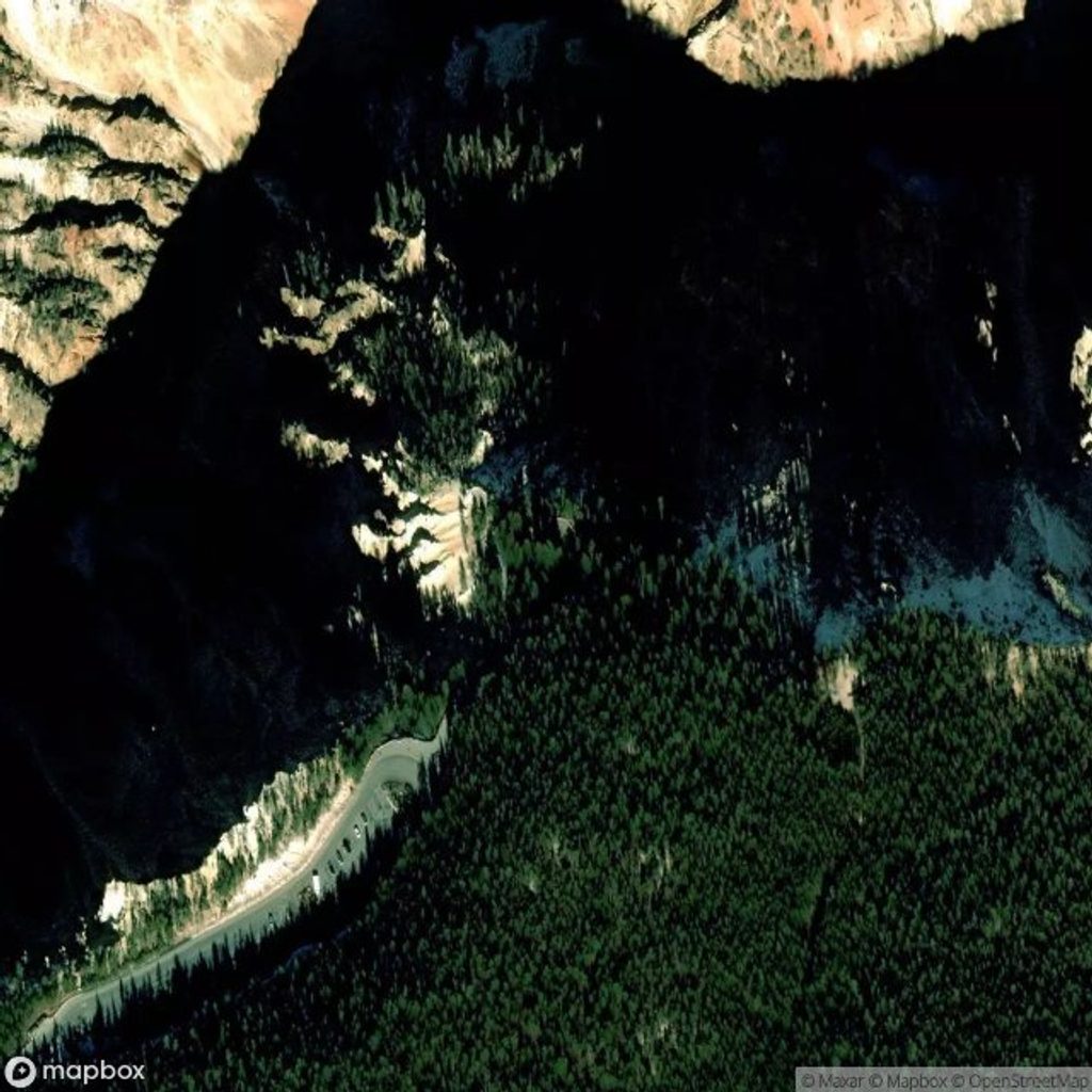
From Canyon Junction, drive 1.2 miles south on Grand Loop Road, turn left (east) onto North Rim Drive, then continue 0.7 miles to the Lookout Point parking area on the right. There is a designated accessible space. GPS can be unreliable—bring official park maps. Approx. coordinates: 44.72152, -110.48788.
Stay behind railings—sheer drop-offs. Expect 13 stairs to the viewpoint. Steep terrain nearby, cold fast water, and hydrothermal areas are hazardous. Crowds peak mid‑day. Wildlife is present—give animals space. GPS may misroute; rely on official park maps.
Place · 0 mi away
Place · 0.2 mi away
Place · 0.2 mi away
Place · 0.2 mi away
Moderate · 0 mi away
Moderate · 0.4 mi away
Easy · 0.5 mi away
Easy · 0.6 mi away

Parkwolf Tour Guide
