Parking
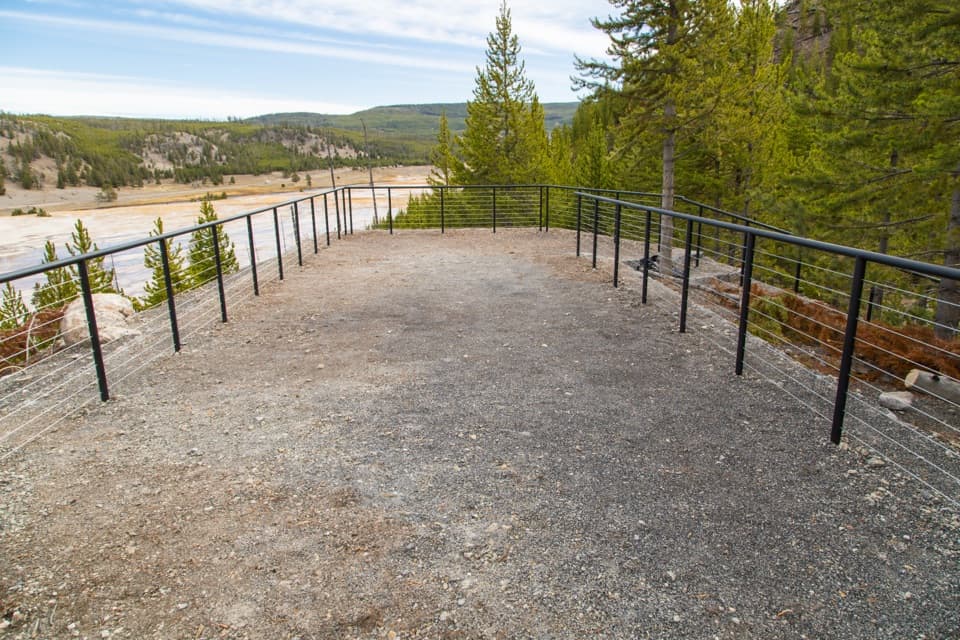
Start at the Brink of the Lower Falls parking area on North Rim Drive. The trail begins beside the lot; nearby overlooks offer a distant view without descending.

#5 of 167 trails in Yellowstone
Yellowstone National Park, WY · MT · ID
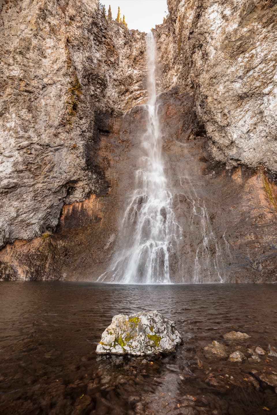
A close Lower Falls view after a steep, stepped descent.
Overview
Brink of the Lower Falls Trail is a 0.7-mile out-and-back from North Rim Drive to a viewing platform close to the top of Lower Falls. It is a short walk with a big payoff, but the mileage hides the work: the path drops steeply by switchbacks, then makes you climb the same way back. Give it about an hour, especially if you expect to stop and catch your breath. The park advises visitors with heart, lung, or other health conditions not to take this trail. If you want a look without the climb, the overlooks beside the parking area give you a more distant view.
 Parkwolf’s verdictIs this the hike for you?
Map & elevation
Plan your hike

The highest, rockiest slopes around here are a summer buffet for grizzly bears.
Yellowstone Tour Guide
Parkwolf is a GPS audio tour guide for Yellowstone National Park. As you drive, it chimes in with what’s ahead: hidden gems, upcoming stops, history, geology, and wildlife, right through your car’s speakers.
See the Yellowstone audio tourRecorded for this trailhead
Brink of the Lower Falls“You're nearing the Brink of the Lower Falls, where a steep walk puts you beside the river as it pours over the edge.”
Plays as you drive up to this trailhead in the Parkwolf Yellowstone Tour Guide.
More stories near here in the app
“First time driving through a national park. We used the Yellowstone tour on grand loop Road and it’s just like having a tour guide in your car with you.”


Trail guide
A brief spur at the start looks toward Upper Falls. The main trail then descends about 0.4 mile toward Lower Falls. Expect a narrow route with many steps and tight switchbacks. Hikers mention benches along the way, useful places to pause on the return. Secure footwear helps on the stepped path, and a steady pace matters more than trying to get down quickly: you have to climb back to the road after reaching the brink.
The lower platform puts you close to the lip where the Yellowstone River pours over Lower Falls. The waterfall is 308 feet high, and from here you can look along the canyon in both directions and feel how much water is moving. The close angle has a tradeoff: it can be hard to take in the full drop at once. For a wider view of the falls, stop at one of the overlooks beside the parking lot before or after the hike. Visitors sometimes report rainbows in the spray.
Much of the canyon is rhyolite, a volcanic rock weakened by hot groundwater moving through it. The Yellowstone River then eroded that softer rock into the canyon you see from the trail. Orange, brown, and green areas near the river can mark active hydrothermal features. Water, wind, and earthquakes keep changing the walls. Lower Falls may hold its height because the river crosses more erosion-resistant volcanic rock before reaching weaker, altered rock downstream.
The park reports seasonal flow ranging from about 5,000 to 60,000 gallons per second over the falls. The sound, spray, and amount of water can feel different across the season, which is part of why the brink holds attention even though the route is short. Look upstream and downstream as well as straight at the lip; the canyon is part of the view, and the close platform is only one way to see it.
Start at the Brink of the Lower Falls parking area along North Rim Drive in the Canyon Village area. There is no separate activity fee or reservation, though park entrance fees may apply. The trail is typically a summer and fall walk and closes in winter. Pets are not allowed.
Wildlife
 713 sightingsGrizzly BearMost seen around 6 AMSighting map
 743 sightingsWolfMost seen around 6 AMSighting map
 5,273 sightingsBisonMost seen around 7 AMSighting map
 3,258 sightingsElkMost seen around 7 PMSighting map
 397 sightingsMooseMost seen around 7 PMSighting map
 1,494 sightingsBlack BearMost seen around 7 PMSighting map
Sighting maps show where each species has been reported across Yellowstone. Wildlife moves, so no sighting is guaranteed.
Keep exploring
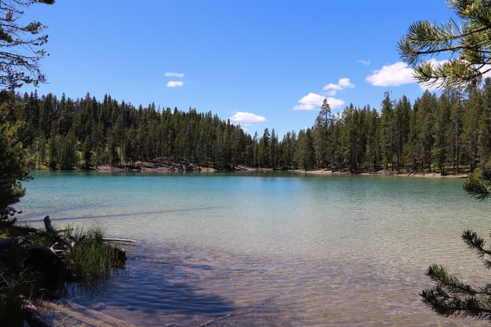 ModerateClear Lake–Ribbon Lake Loop Trail6.1 mi · 3.5 hr · 0.3 mi awayThermal ground, two lakes, and a canyon rim return.
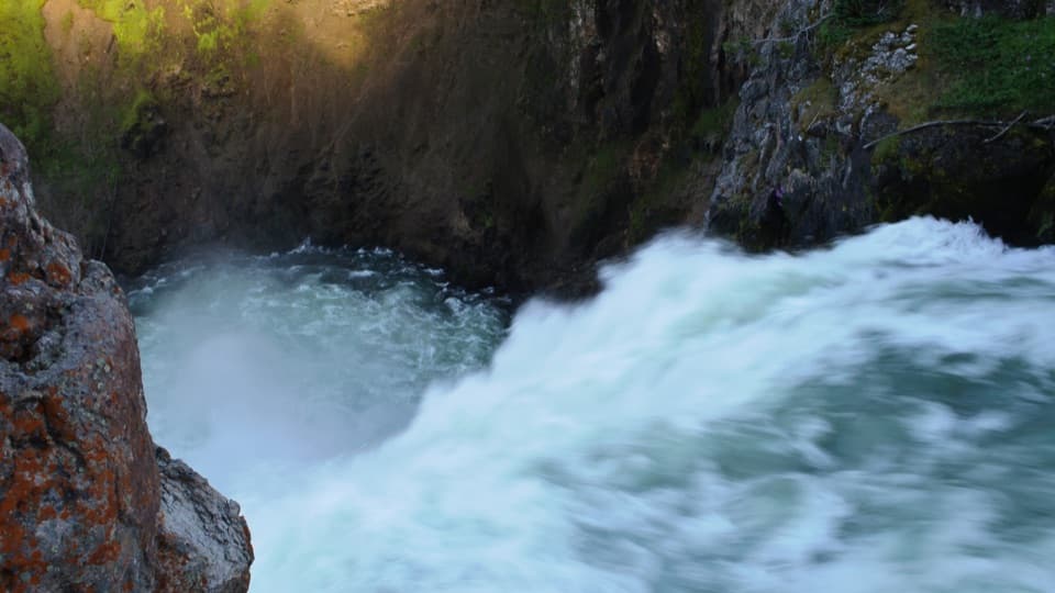 EasyBrink of the Upper Falls Trail0.3 mi · 24 min · 0.3 mi awayA short, stair-stepped walk to Yellowstone's 109-foot Upper Falls.EasyClear Lake Trail1.4 mi · 1 hr · 0.4 mi awayA gentle short walk to a bubbling, spring-fed lake.
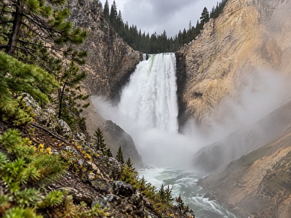 ModerateRed Rock Points Trail0.6 mi · 45 min · 0.5 mi awaySteep stairs bring you close to Lower Falls.
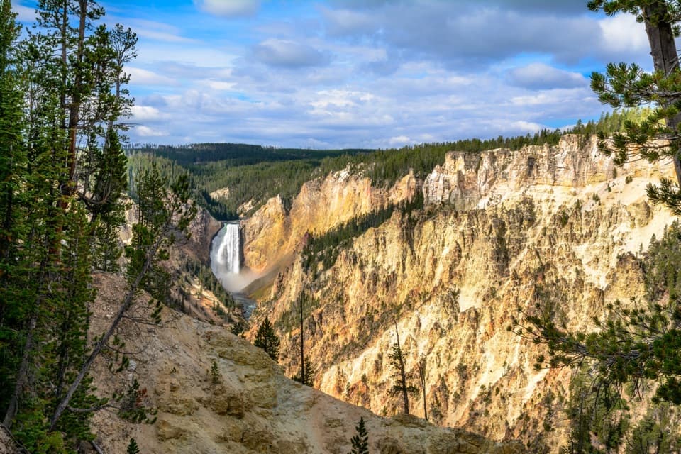 ModerateNorth Rim Trail7 mi · 4 hr · 0.8 mi awayConnect the North Rim's waterfalls and canyon overlooks on foot.
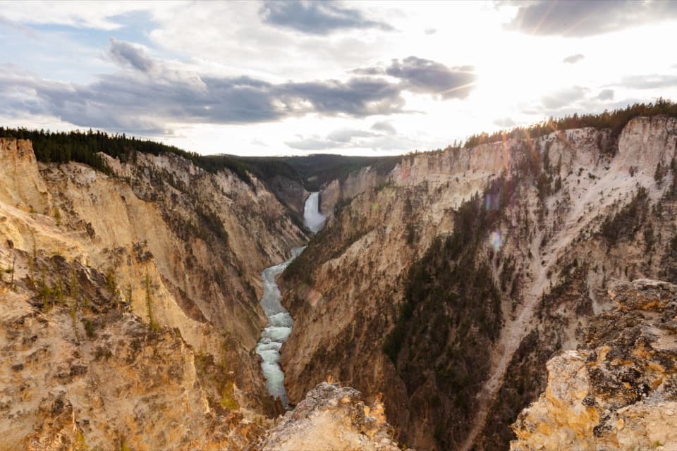 ModerateSouth Rim Trail3.6 mi · 2 hr · 0.8 mi awayUpper and Lower Falls, with canyon views between them
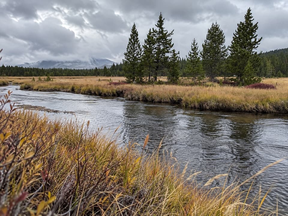 ModerateWrangler Lake Trail8 mi · 4 hr · 0.8 mi awayCreek crossings lead through Hayden Valley to a backcountry lake.
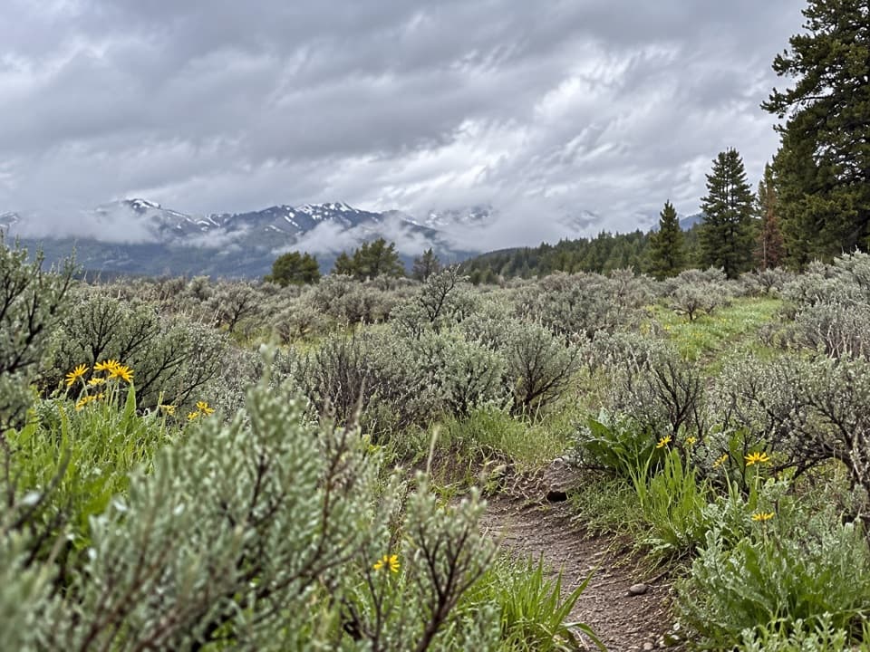 ChallengingWapiti Lake Trail30.6 mi · 13 hr · 0.8 mi awayA 30.6-mile backcountry round trip to camps near Wapiti Lake.
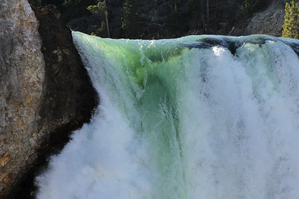 Sight · 0.1 mi awayBrink of the Lower FallsGet close enough to feel the Lower Falls' roar.
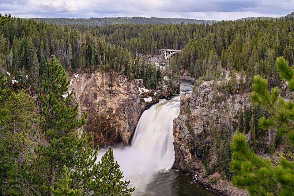 Sight · 0.3 mi awayUpper Falls ViewpointsSouth Rim stop for a close look at 109-foot Upper Falls.
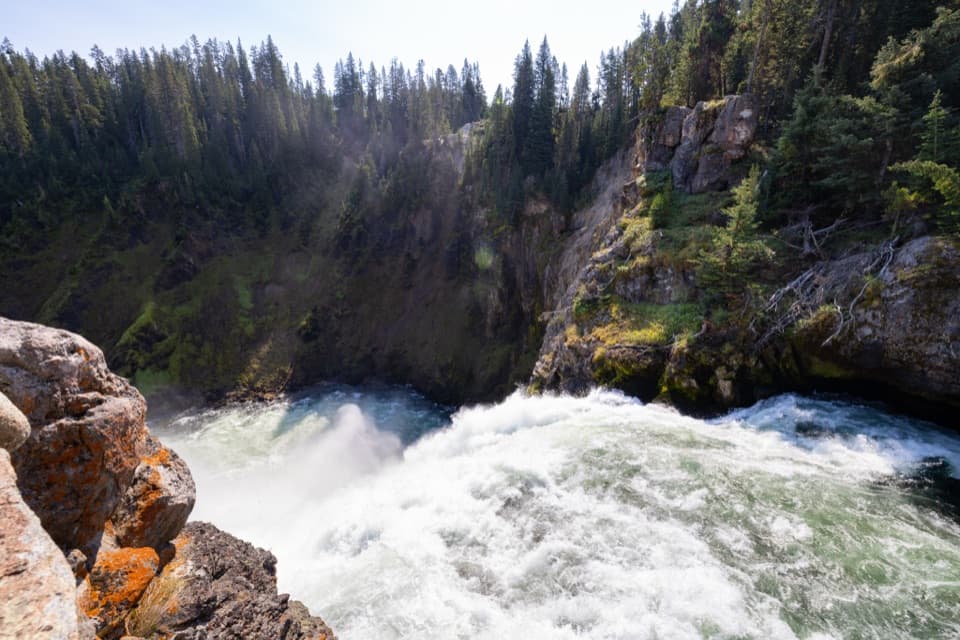 Sight · 0.4 mi awayBrink of the Upper FallsSee the river spill over a 109-foot fall up close.
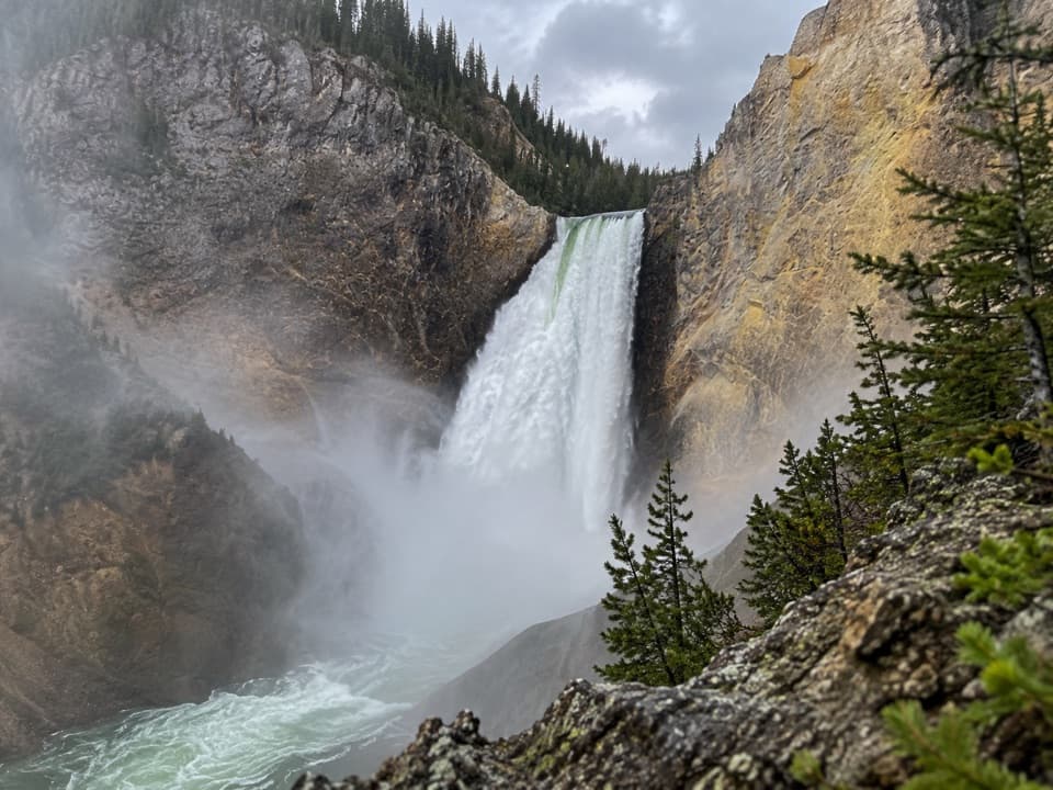 Sight · 0.4 mi awayRed Rock PointA close Lower Falls view after a steep climb back out.
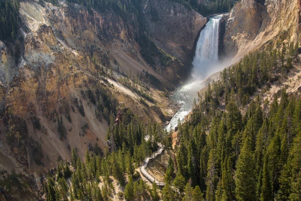 Sight · 0.5 mi awayLookout PointThe Lower Falls fills the canyon from this north-rim perch.
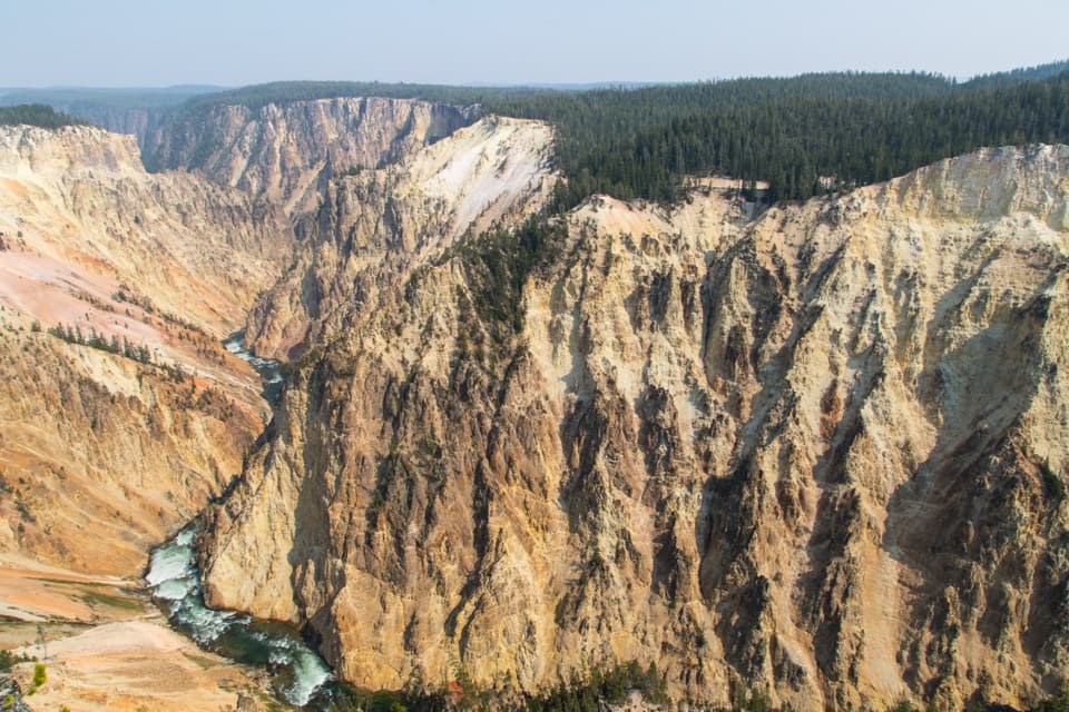 Sight · 0.8 mi awayGrand ViewA broad canyon view, with the river and Lower Falls far below.
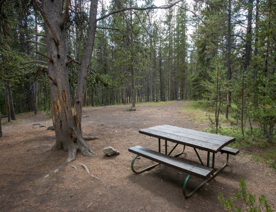 Picnic area · 0.8 mi awayChittenden Bridge Picnic AreaA handy picnic break beside the Wapiti Lake Trailhead.
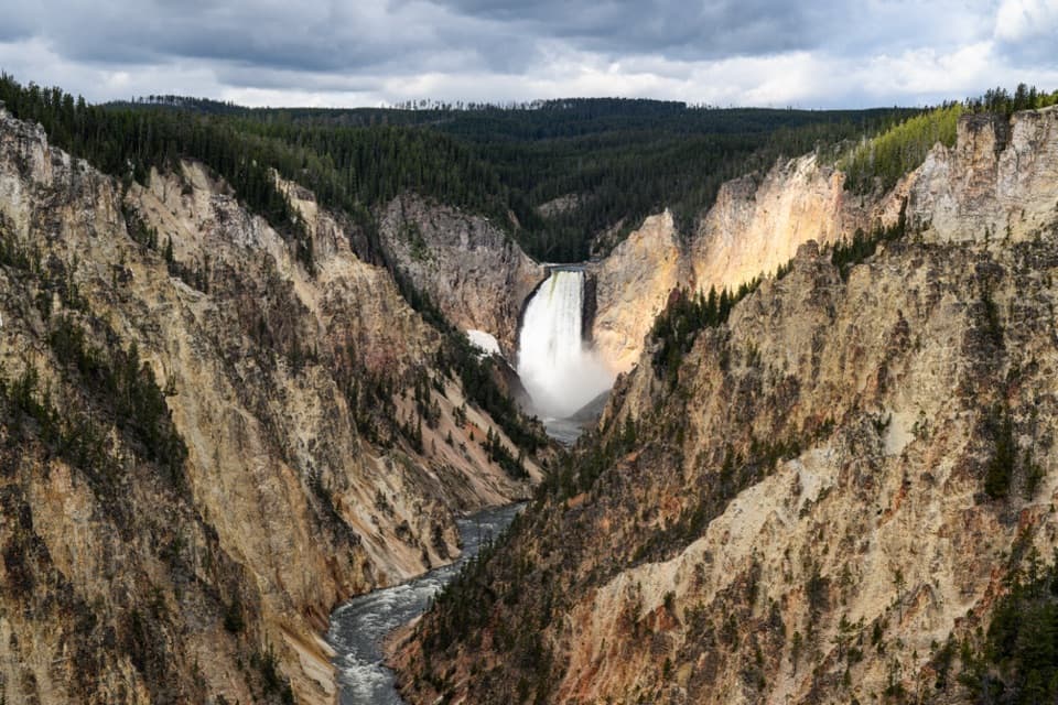 Sight · 1 mi awayArtist PointFrom the rim, the 308-foot Lower Falls anchors the view.
Parkwolf’s Yellowstone ranking
The audio tour guide for the drive, plus offline maps, trails, and wildlife heatmaps for when the signal drops.