
Place · 0.7 mi away
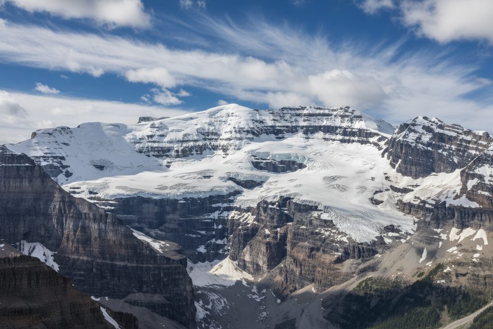
Mount Victoria (3,464 m) straddles the Continental Divide on the Yoho–Banff border. It’s a striking, glaciated massif with two close-in-height summits (South is highest, North is commonly climbed). This is not a casual hike—think crampons, rope, and real decision-making on steep, exposed ground.
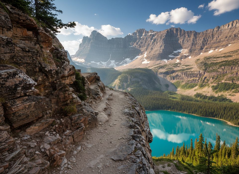
From the summit you get sweeping views over the Lake O’Hara region and the Lake Louise side, with surrounding glaciers and big Rockies peaks in every direction. The dual-summit character and prominent position on the Divide give it a grand, big-mountain feel.
Expect a blend of alpine meadows on approach, then scree, snowfields, ridges, and crevassed glacier travel. Trip reports call out a mid-glacier rockband and a distinctive rock face with “three bumps” as a useful landmark. Missing the intended line near that rockband has forced parties onto steep, unprotectable ice traverses—don’t commit if you’re off route. Conditions vary year to year from easy snow-and-rock to moderate rock-and-ice; plan conservatively and start early.
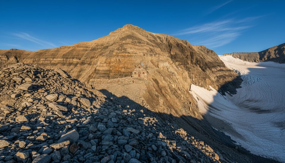
There are no facilities on or near the mountain—no parking, trailhead, restrooms, or water sources beyond natural melt. Abbot Pass Hut has historically been used as a staging point close to the routes; check its current status before planning around it. Otherwise, you’re launching from established areas in neighboring valleys and committing to a long, remote day (or more).
Named in 1897 in honor of Queen Victoria, the first ascent that same year was a milestone in early Canadian mountaineering. The peak’s location and glaciation have made it a classic objective for generations of alpinists.
You might spot mountain goats, bighorn sheep, marmots, or pikas on the approaches, but once you hit the high ridges and glacier, wildlife sightings drop off. Bear encounters are more likely in the lower valleys.
When a solid weather window lines up and you can start pre-dawn. Weekdays slightly reduce the odds of crossing paths with other teams, though this isn’t a heavily trafficked peak. Early light is best for firm snow and safer travel; storms can roll in fast.
If you’re a seasoned alpinist with glacier gear and the judgment to use it, absolutely—world-class scenery and a satisfying, serious climb. For hikers looking for a viewpoint, look elsewhere in the park; this one is strictly for mountaineers.
Place · 0.7 mi away
Place · 1.1 mi away
Place · 1.3 mi away
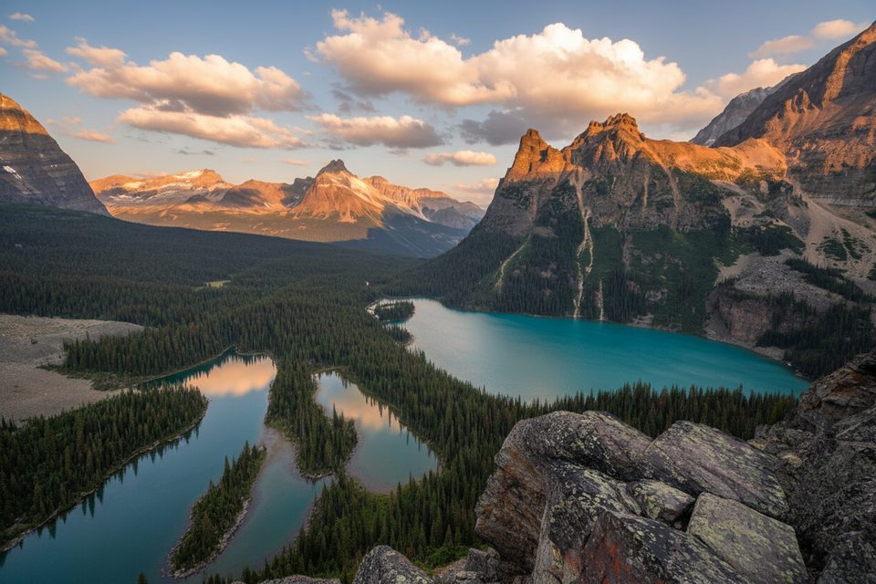
Place · 1.3 mi away
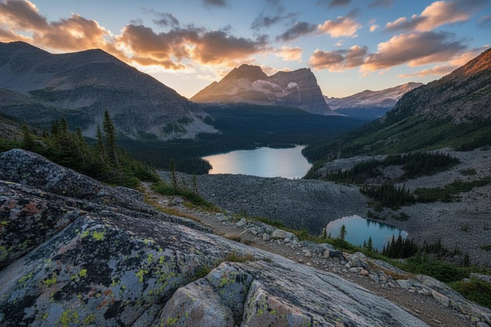
Moderate · 1.9 mi away
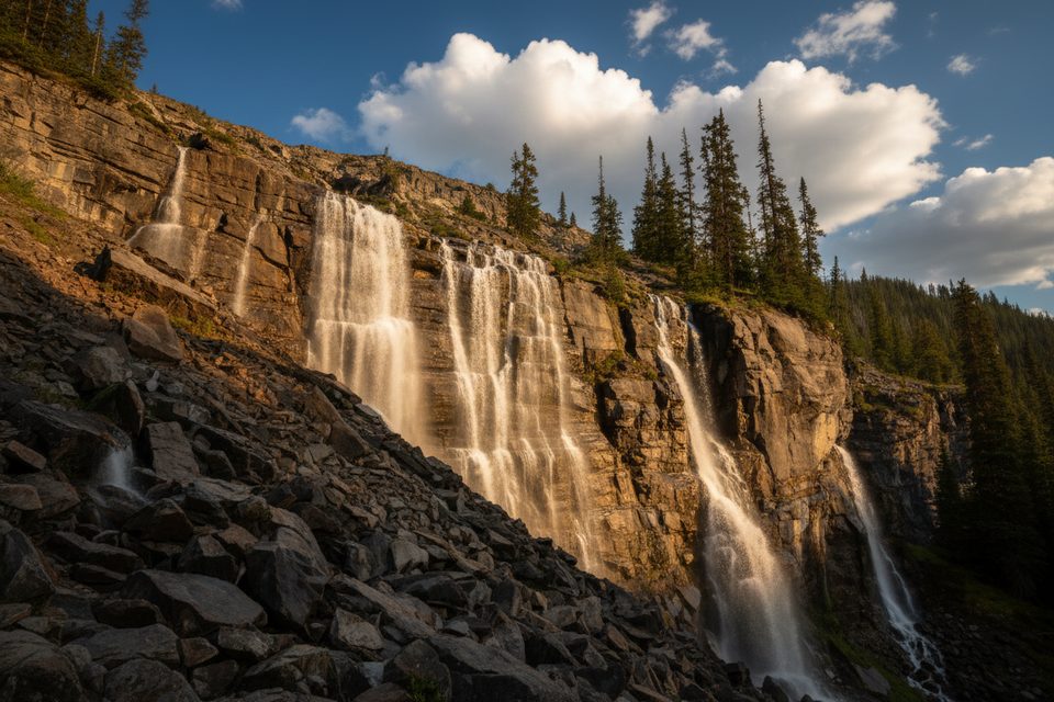
Easy · 2.1 mi away
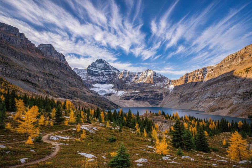
Moderate · 4.8 mi away
Challenging · 4.8 mi away

Parkwolf Tour Guide
