
Place · 1.4 mi away
Challenging
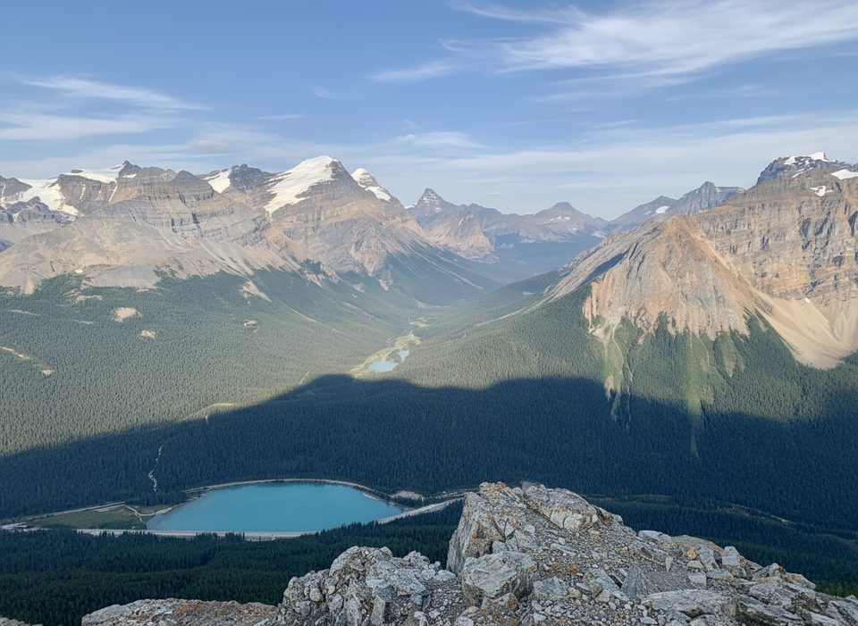
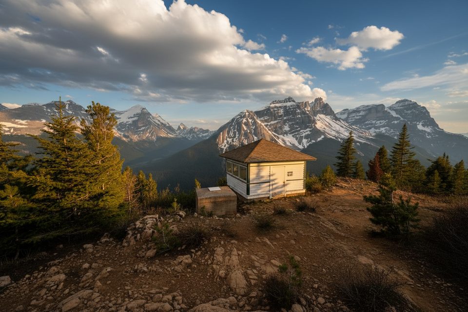
If you want a half‑day with real summit payoff, this out‑and‑back delivers. You climb steady forest switchbacks to a historic fire lookout, then decide: call it a day with grand views, or continue on a steeper, loose scree slope to the summit for a full 360‑degree panorama over Wapta Lake, Sherbrooke Lake, and the Continental Divide. Expect fewer crowds than Yoho’s headline hikes, but no shortage of views.
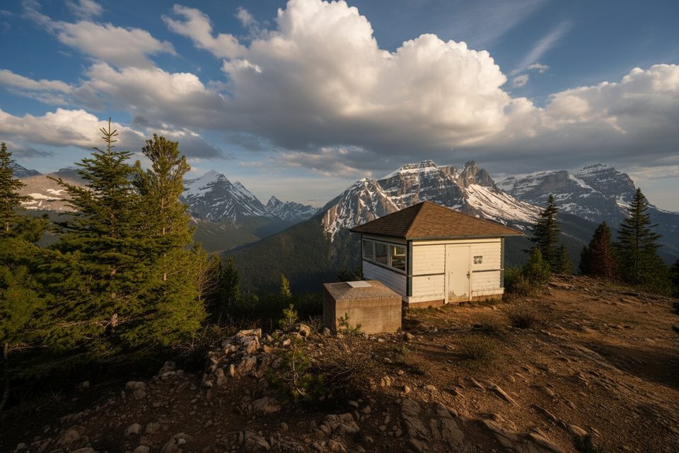
Start at the Sherbrooke Lake trailhead/Wapta Lake Picnic Area off the Trans‑Canada Highway. Early on, keep left at the first fork, then around 1.4 km turn right at the signed junction for Paget Peak. The trail climbs steadily through forest to Paget Lookout (a classic, still‑standing fire lookout and a great rest/shelter spot). Many hikers stop here. For the summit, continue above the lookout on a rougher, steeper path over loose scree and talus; it’s hands‑on in spots but non‑technical. Round‑trip distance varies by track and turnaround point, but plan on roughly 9.5–11.3 km total (about 6–7 miles) with close to 1,000 m of gain.
To the lookout: moderate on a well‑built trail. Above the lookout: a legit, steep scree grind with some exposure—fun if you like loose Rockies scrambles, unnerving if you don’t. Trekking poles help both ways; gloves are nice for the sharp rock.
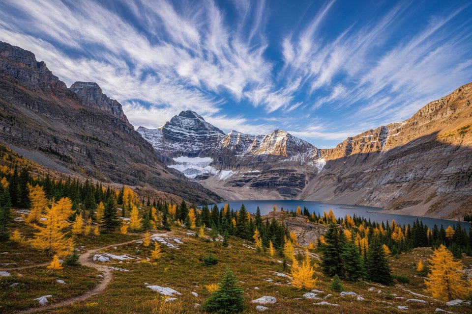
From the lookout and especially the summit, you’ll spot Mount Bosworth and the Mount Daly range, Cathedral Mountain, Mount Victoria, and down‑valley toward the Kicking Horse. The peak is the namesake and type locality for Paget limestone—classic Rockies sedimentary layers you’ll be walking across. The lookout itself reflects the park’s wildfire history and was used into the late 1970s.
June through October is the sweet spot. Snow can hang on early and return quickly in fall, especially above the lookout. This is a great afternoon objective in summer when the talus is dry and winds are manageable.
Park at the Sherbrooke Lake Trailhead/Wapta Lake Picnic Area just off the Trans‑Canada Highway near Wapta Lake (westbound side).
Steep, loose scree with some exposure above Paget Lookout; snow/ice can linger early and late season—microspikes recommended. No water beyond the trailhead and the summit ridge is windy and cold even in summer.
Place · 1.4 mi away
Place · 1.4 mi away
Place · 1.9 mi away
Place · 2.2 mi away
Moderate · 0 mi away
Moderate · 0 mi away
Challenging · 0 mi away
Moderate · 1.2 mi away

Parkwolf Tour Guide
