Place · 1 mi away

If you want the emerald-and-turquoise drama without the shoulder-to-shoulder crowds, Sherbrooke Lake is your move. Set beneath Mount Ogden with Paget Peak and Mount Niles framing the basin, the shoreline serves up those classic Rockies hues and plenty of room to exhale.
It’s an approachable forest walk to the lake—about 6.2 km return—with a short, steeper grind near the start before mellowing out. The trail shares a beginning with Paget Lookout and splits around 1.4 km in. Near the lake you’ll cross small streams on boardwalks and pass through a natural blowdown area. Once you reach the water, you can continue another ~1.5 km along the shore for better viewpoints and fewer people; some hikers carry on to small falls at the far end.
Expect forest birds and small critters; this is bear country, so carry bear spray and know how to use it. The area is also a launch point for mountaineers heading toward the Waputik Icefield and the Scott Duncan Hut.
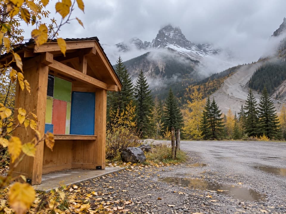
The trailhead sits just off Highway 1. You’ll pass through a gate in the wildlife fence right near the start. Important quirk: the entrance is effectively westbound-only; if you’re coming from the east you’ll need to turn around at the Lake O’Hara road and re-approach westbound. Parking is limited—there’s no overflow and roadside parking isn’t an option.
There are no restrooms, tables, or services at the trailhead or lake. Bring what you need and pack it all out.
June–September is the typical season. Show up early to snag a parking spot and enjoy the quiet before midday hikers arrive. If you want even more solitude, continue beyond the first lakeshore stop along the northern shoreline.