Overview
About Grassington
Why stop
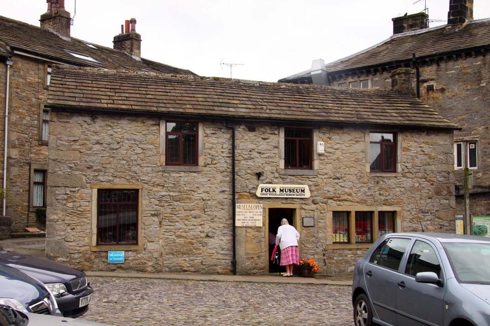
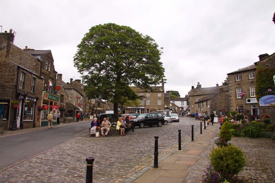
- Distinctive cobbled square and stone village character
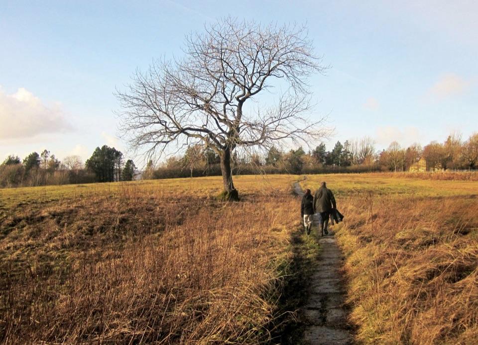
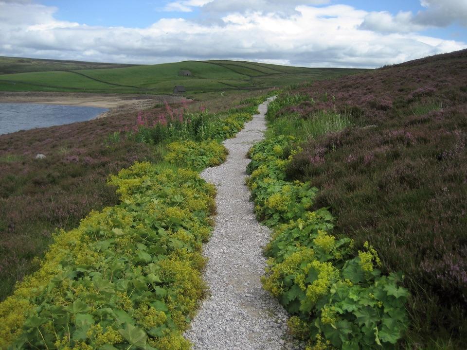
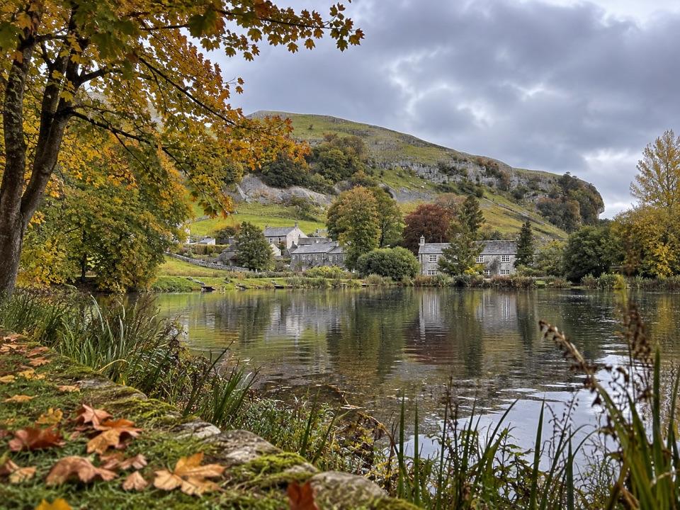
- Walks reach river, meadows and lead-mining remains from town
Heads up
- Compact centre is a short stop unless paired with a walk
- Fine weekends can take the quiet edge off the square
Map
Where it is

The highest, rockiest slopes around here are a summer buffet for grizzly bears.
Yorkshire Dales Tour Guide
Your drive to Grassington, narrated.
Parkwolf is a GPS audio tour guide for Yorkshire Dales National Park. As you drive, it chimes in with what’s ahead: hidden gems, upcoming stops, history, geology, and wildlife, right through your car’s speakers.
See the Yorkshire Dales audio tourRecorded for this place
Grassington and its Cobbled Square“Up ahead is Grassington, a compact village built around a cobbled square.”
Plays as you drive up to Grassington in the Parkwolf Yorkshire Dales Tour Guide.
More stories near here in the app
- The Painted Stones at Burnsall
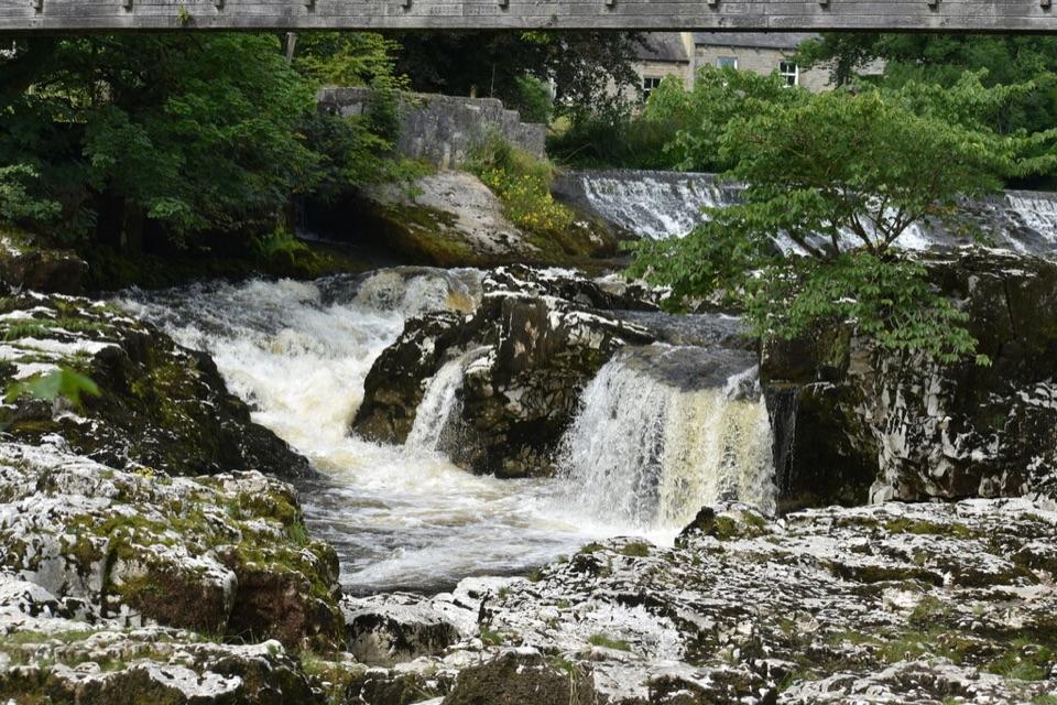
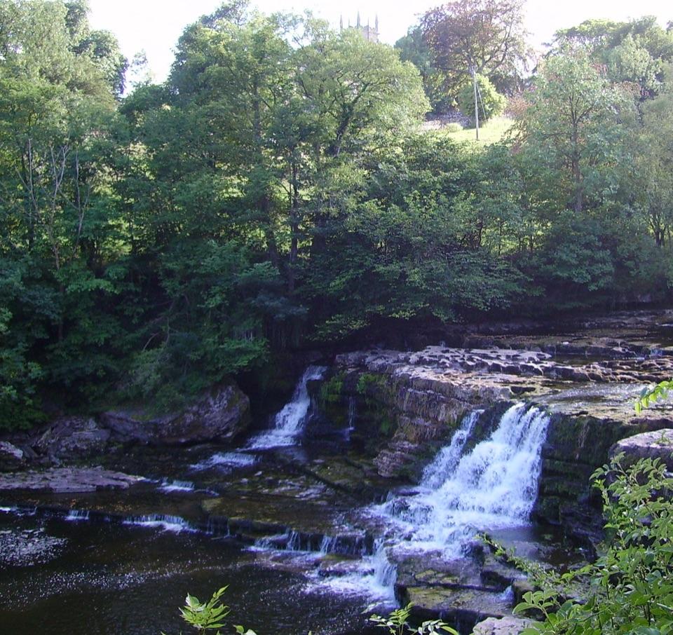
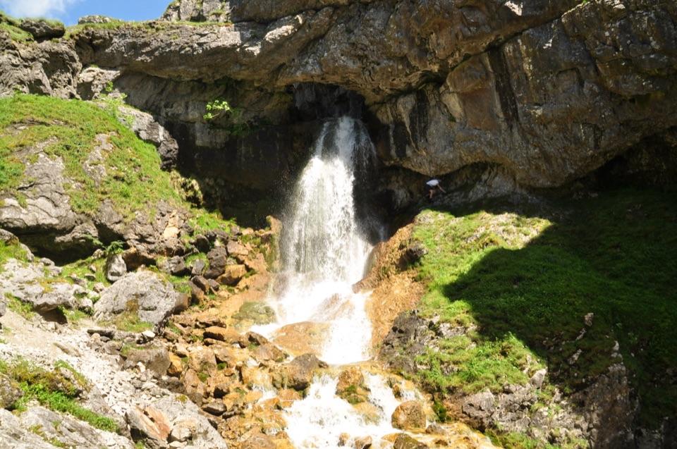
- The Falls That Powered Grassington
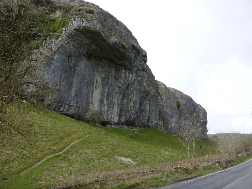
- The Ice Behind Kilnsey Crag
- The Butterfly and the Rock-Rose
- 298 audio storiesacross Yorkshire Dales’s roads, triggered by GPS as you drive
- Wildlife heatmapsfor Eurasian Otter, Atlantic Salmon, Short-eared Owl, and 13 more
- Works offlinemaps, 100 trails, 68 places, and audio download before you lose signal
- CarPlay readysimple controls built for the drive
“Fantastic app with many points of information… It’s great to just turn on while you’re driving and it gives you an audio tour of the national Park. We love it!!!!”


Guide
More about Grassington
A village square and a base for WharfedaleGrassington is a former lead-mining village with a cobbled square, stone cottages, independent…
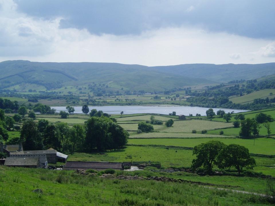
Grassington is a former lead-mining village with a cobbled square, stone cottages, independent shops, cafés and pubs. Its centre is compact: an hour around the square pairs well with a walk by the River Wharfe or up onto the moor. Fine weekends can be busy, and parking around the square is limited.
Arriving and finding your feetThe National Park Centre on the edge of the village has a large car park, toilets including…
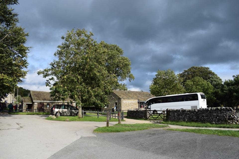
The National Park Centre on the edge of the village has a large car park, toilets including RADAR and Changing Places facilities, an electric-car charger and a picnic area. It is a short walk into the centre; the visitor centre can help with maps and local walks when open. Buses also connect Grassington with Skipton, with some services from Ilkley.
Beyond the squareWalk downhill from the car park to Linton Falls and the riverside; a bridge overlooks the…
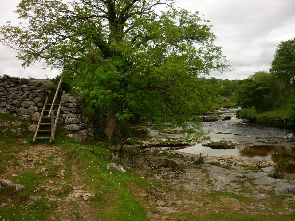
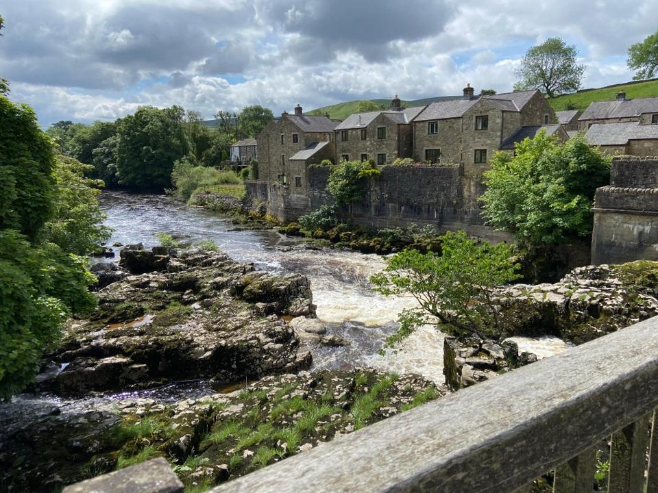
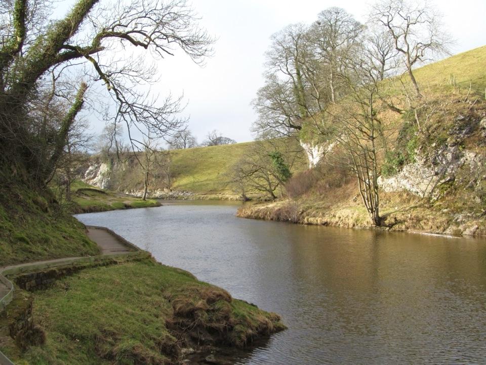
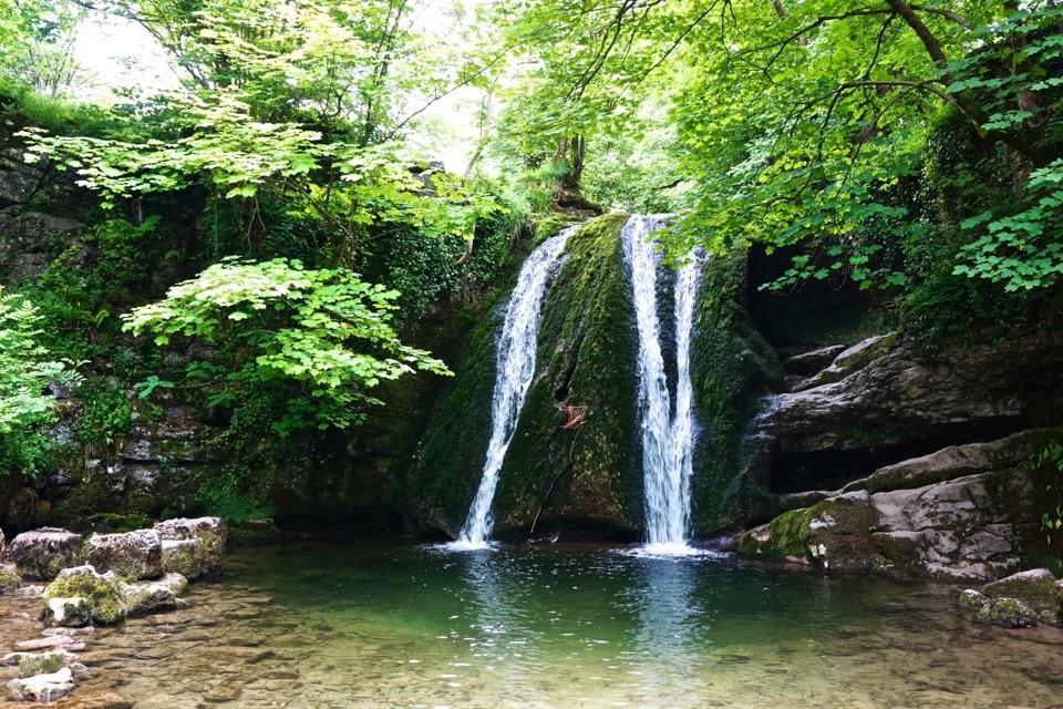
Walk downhill from the car park to Linton Falls and the riverside; a bridge overlooks the falls, which are especially powerful after rain. The Dales Way follows the Wharfe, while Grass Wood and the lead-mining remains on Grassington Moor offer longer outings. Woodland and riverside paths can be muddy or slippery after wet weather.
A closer look at the villageStep off the square into the narrow lanes of stone cottages.
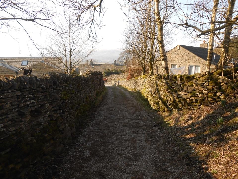
Step off the square into the narrow lanes of stone cottages. The town hall began as a Mechanics Institute, a reminder of Grassington's industrial past. The shops change, so leave time to browse rather than counting on a particular one.
Wildlife
Wildlife in Yorkshire Dales
 10 sightingsEurasian OtterMost seen around 7 PMSighting map
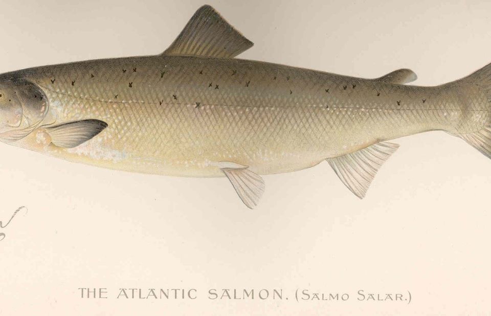 11 sightingsAtlantic SalmonMost seen around 7 AMSighting map
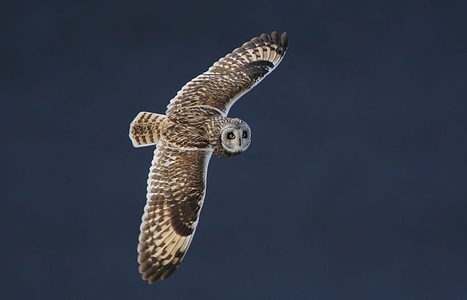 13 sightingsShort-eared OwlMost seen around 7 PMSighting map
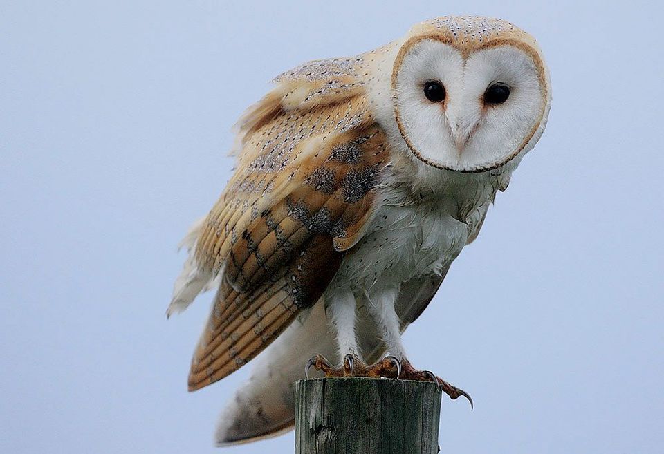 22 sightingsWestern Barn OwlMost seen around 6 AMSighting map
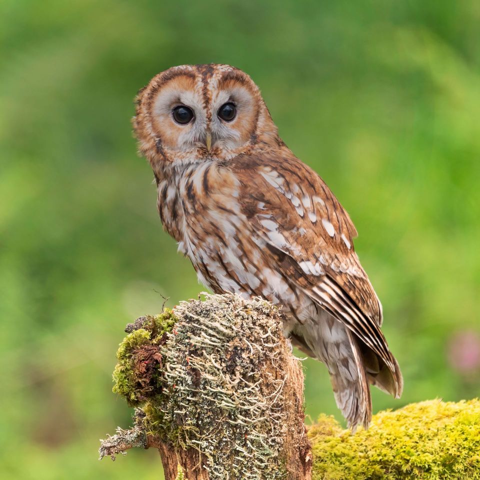 27 sightingsTawny OwlMost seen around 7 PMSighting map
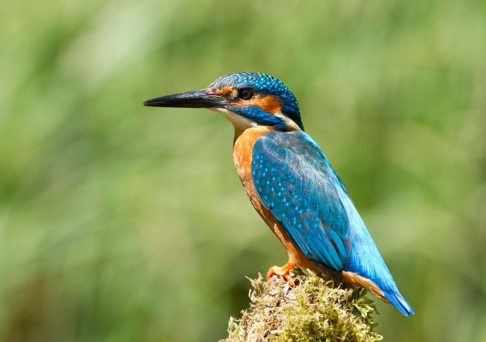 34 sightingsCommon KingfisherMost seen around 7 AMSighting map
Sighting maps show where each species has been reported across Yorkshire Dales. Wildlife moves, so no sighting is guaranteed.