Parking
Start in Grassington. Use the National Park Centre/long-stay parking in the village and walk into the village start; long-stay spaces are limited.
Yorkshire Dales National Park, EN
Six days of dale-hopping moorland miles between 26 traditional Dales inns
Overview
Map & elevation
Plan your hike

The highest, rockiest slopes around here are a summer buffet for grizzly bears.
Yorkshire Dales Tour Guide
Parkwolf is a GPS audio tour guide for Yorkshire Dales National Park. As you drive, it chimes in with what’s ahead: hidden gems, upcoming stops, history, geology, and wildlife, right through your car’s speakers.
Recorded for this area
Grassington and its Cobbled Square“Up ahead is Grassington, a compact village built around a cobbled square.”
Plays on the road 0.3 km from the trailhead in the Parkwolf Yorkshire Dales Tour Guide.
More stories near here in the app
“Fantastic app with many points of information… It’s great to just turn on while you’re driving and it gives you an audio tour of the national Park. We love it!!!!”


Trail guide
The Dales Inn Way is a circular six-day route of 76 miles, starting and finishing in Grassington and linking around 26 traditional inns as it swings north through Wharfedale, over into Wensleydale and Swaledale, and back again. It closes as one continuous loop, so there is no need to arrange transport at the far end.
The reward is cumulative: each day drops from high ground into a different dale and a different village, and the final stage returns you to your starting point with the whole circuit behind you.
This is a very strenuous long-distance walk with substantial ascent and descent repeated day after day. Stages climb out of one valley and drop into the next, working between valley floors around 180 metres and high ground approaching 480 metres. Expect open, exposed moorland crossings with little shelter, along with wet, boggy and rough underfoot sections that slow progress considerably in poor weather.
The route is not specifically waymarked, so proper maps and the ability to use them are essential. Plan each stage in advance, note escape options off the higher ground, and treat visibility as a real factor on the moorland sections rather than an afterthought.
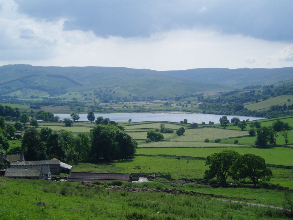
The walking mixes classic Dales ingredients: stone-walled lanes leaving villages such as Kettlewell, riverside and field paths on the Hubberholme to Buckden stretch, the broad water and pasture of Semer Water, and the castle and moor country in the corridor between Reeth and West Burton. Village stops with their old inns give the route its distinctive rhythm of high wild ground followed by settled dale bottoms.
Grassington is the start and finish. The Yorkshire Dales National Park car park there is the long-stay option, but long-stay spaces are limited, so arrive early or consider staying locally the night before and leaving the car for the duration of the circuit.
Much of the route follows public rights of way through working farmland with livestock, so dogs must be kept under close control at all times. Follow national park guidance on short leads during the ground-nesting bird season, and be prepared for frequent walls, gates and stiles.
Wildlife
 10 sightingsEurasian OtterMost seen around 7 PMSighting map
 11 sightingsAtlantic SalmonMost seen around 7 AMSighting map
 12 sightingsShort-eared OwlMost seen around 7 PMSighting map
 22 sightingsWestern Barn OwlMost seen around 6 AMSighting map
 27 sightingsTawny OwlMost seen around 7 PMSighting map
 34 sightingsCommon KingfisherMost seen around 7 AMSighting map
Sighting maps show where each species has been reported across Yorkshire Dales. Wildlife moves, so no sighting is guaranteed.
Keep exploring
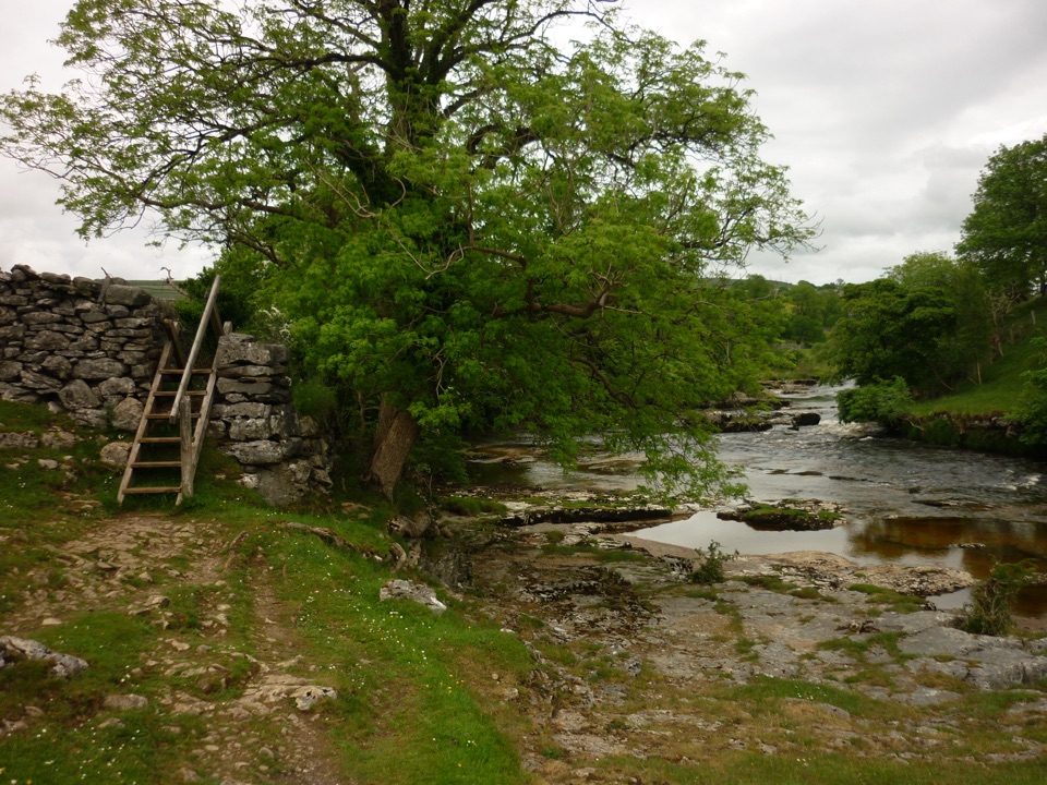 ModerateGrass Wood Circular7.2 km · 2.5 hr · 0.3 km awayRiver gorge, waterfall and limestone woodland in one Wharfedale loop
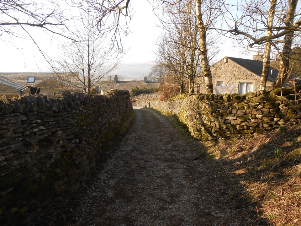 ModerateGrassington to Hebden Circular6.4 km · 2 hr · 0.3 km awayPackhorse lanes, hay meadows and a steady climb to Edge Lane views
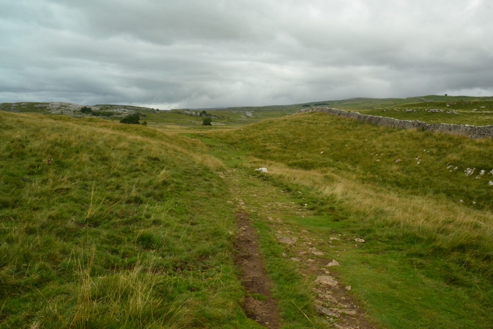 ModerateGrassington Audio Trail6.3 km · 1.8 hr · 0.3 km awayFifteen audio stops link limestone grassland and lead-mining history
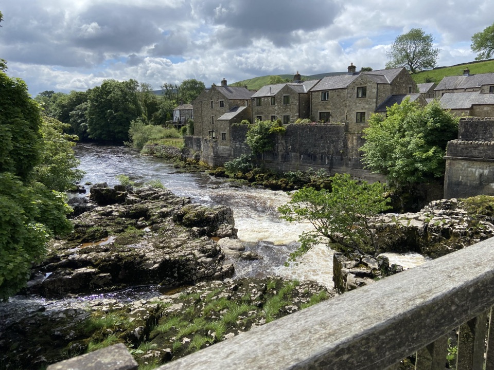 ModerateGrassington Accessible Walk2.1 km · 1 hr · 0.3 km awayWalled lane and riverside loop to the falls, with short steep pitches
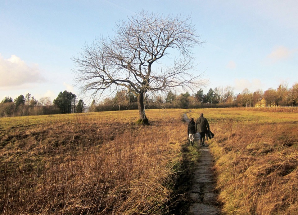 ModerateGrassington Meadows5.6 km · 1.8 hr · 0.3 km awayFlower-rich hay meadows, stone stiles and the falls at Linton
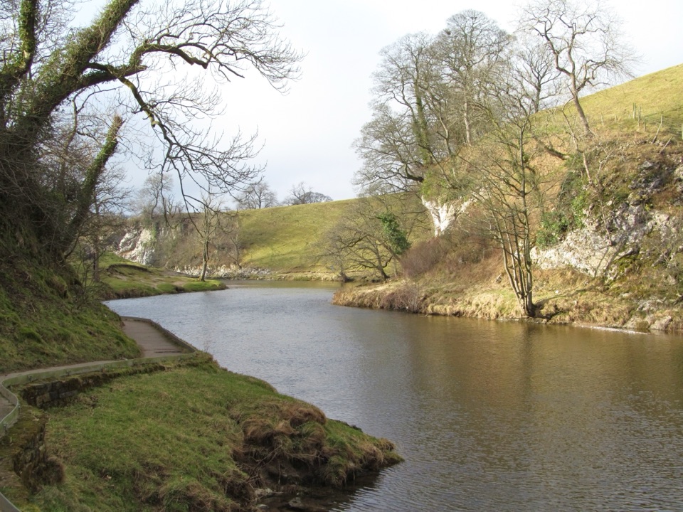 EasyBurnsall Accessible Walk1.4 km · 1 hr · 4.2 km awaySmooth, level riverside walk to Loup Scar, with two kissing gates
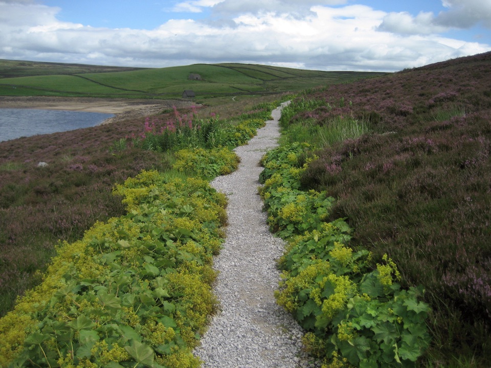 ModerateGrimwith Reservoir Accessible Walk5.6 km · 2 hr · 6.1 km awayWide shoreline track to open water, wildfowl and fell views, no stiles
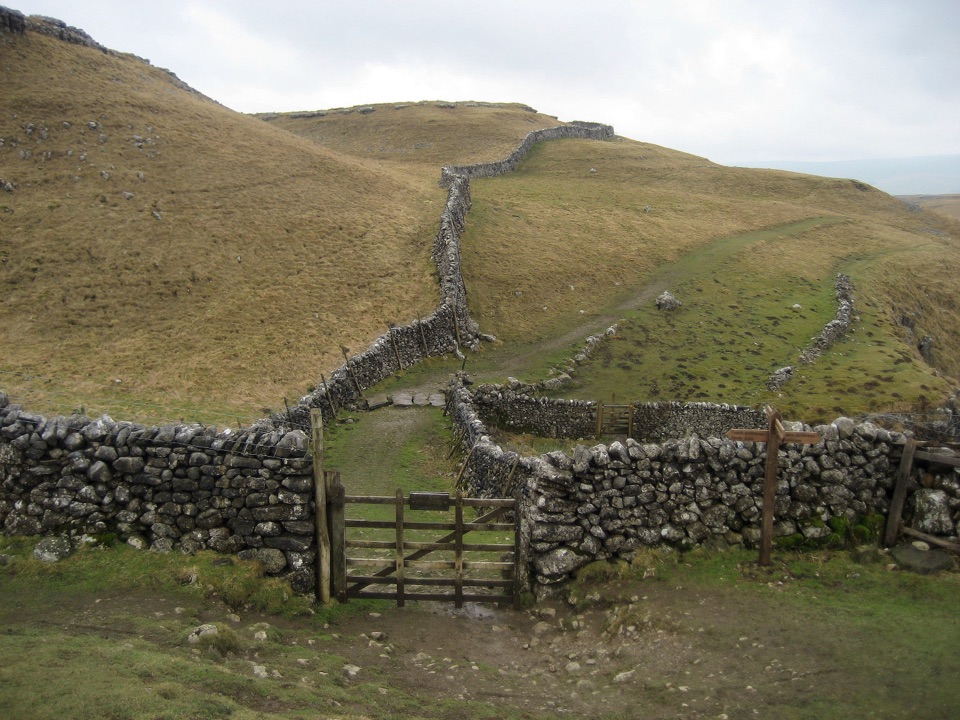 ModerateKettlewell to Grassington Walk10.5 km · 3 hr · 8.9 km awayBus up, walk back: limestone shelves and wide Wharfedale views
 Sight · At the trailheadGrassington Folk MuseumTwo miners' cottages packed with Upper Wharfedale's mining and daily life
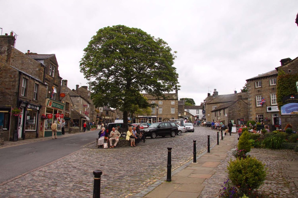 Sight · 0.1 km awayGrassingtonCobbled market square, stone cottages and riverside walks by the Wharfe
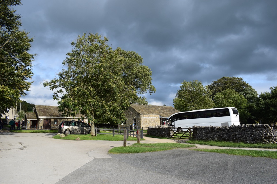 Visitor center · 0.3 km awayGrassington National Park CentrePark, plan, and walk to Linton Falls from Wharfedale's info hub
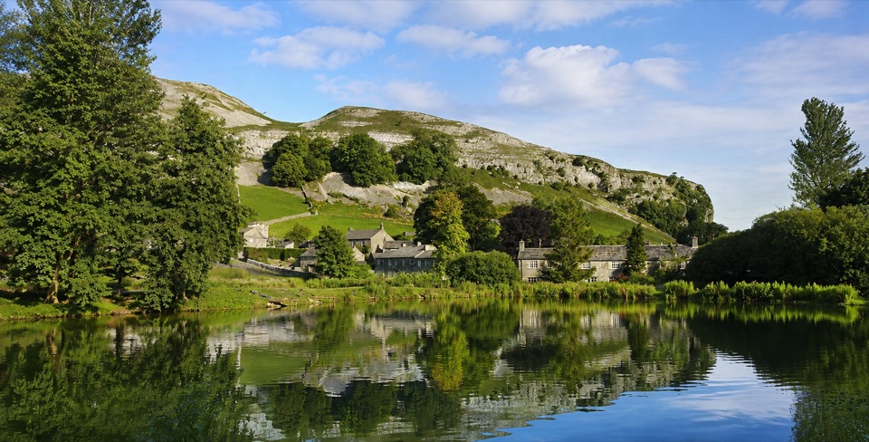 Sight · 4.6 km awayKilnsey Park EstateSpringwater lakes, farm animals and trout under a limestone crag
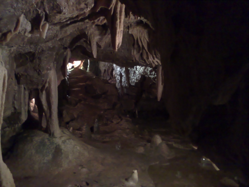 Sight · 8.6 km awayStump Cross CavernsHard hats, 65 steps and calcite that glows under UV torches
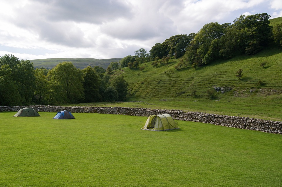 Campground · 8.6 km awayKettlewell CampingFamily-run field on Kettlewell's edge, ten metres from the Dales Way
 Sight · 8.7 km awayGordale ScarHidden gorge where 150m limestone walls close around a tufa waterfall
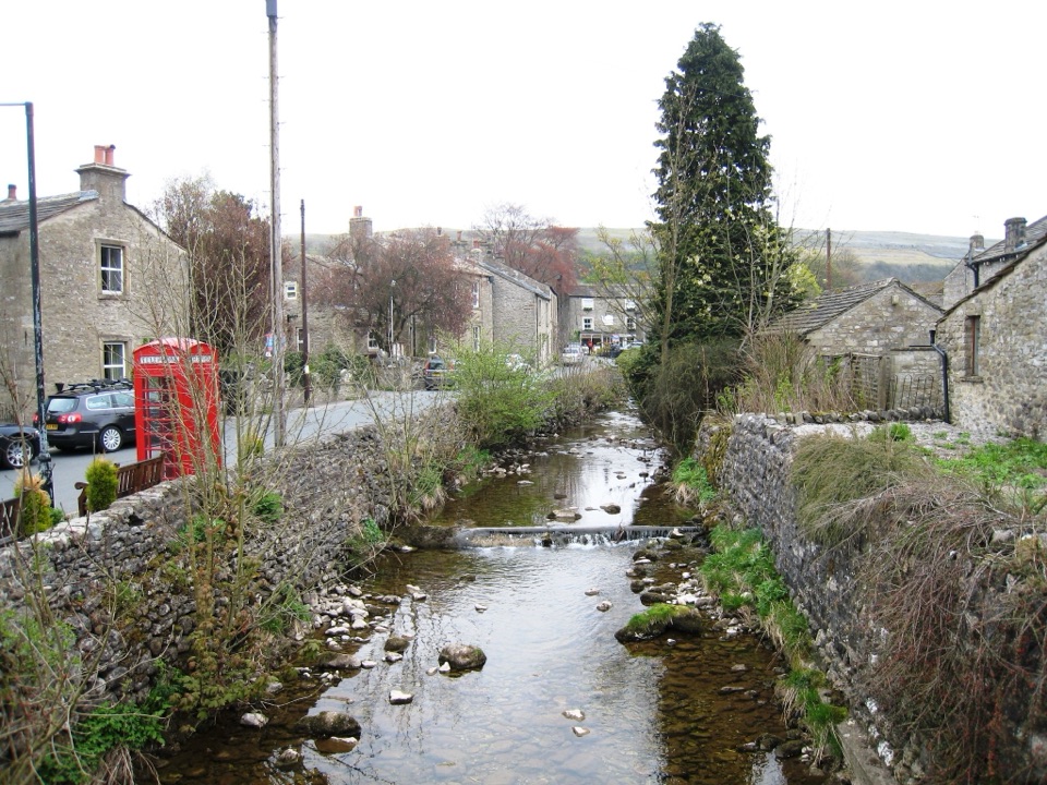 Sight · 8.9 km awayKettlewellGrey-stone Wharfedale village with riverside walks and three inns
Parkwolf’s Yorkshire Dales ranking

The audio tour guide for the drive, plus offline maps, trails, and wildlife heatmaps for when the signal drops.





