Parking
Start at the Grassington National Park car park by the National Park Centre. It has public toilets including RADAR accessible toilets and five designated blue-badge bays.
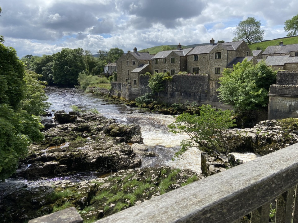
Yorkshire Dales National Park, EN
Walled lane and riverside loop to the falls, with short steep pitches
Overview
Map & elevation
Plan your hike

The highest, rockiest slopes around here are a summer buffet for grizzly bears.
Yorkshire Dales Tour Guide
Parkwolf is a GPS audio tour guide for Yorkshire Dales National Park. As you drive, it chimes in with what’s ahead: hidden gems, upcoming stops, history, geology, and wildlife, right through your car’s speakers.
Recorded for this trailhead
Grassington and its Cobbled Square“Up ahead is Grassington, a compact village built around a cobbled square.”
Plays as you drive up to this trailhead in the Parkwolf Yorkshire Dales Tour Guide.
More stories near here in the app
“Fantastic app with many points of information… It’s great to just turn on while you’re driving and it gives you an audio tour of the national Park. We love it!!!!”


Trail guide
This is a closed loop of 1.3 miles (2.1 km) total, measured as the full circuit from the Grassington National Park car park back to the same point. It is short, but the ground and gradients make it more demanding than the distance suggests.
From the car park the route follows a walled lane and accessible footpath down towards the River Wharfe. It then continues along the riverside to Linton Falls before returning to the car park by a short section of main road. The mapped line is continuous and includes that road return, so the road section is part of the walk rather than an optional variation.
The walled lane includes gradients reaching about 1:7. The riverside section is unsurfaced, so expect uneven and variable ground rather than a smooth all-weather surface. On the return, the first 50 m reaches roughly 1:6. The route also meets a busy road, so care is needed where walkers and traffic share space.
The classification is Route for some. In practice that means some people using wheelchairs or buggies will manage it, often with assistance, while others will find the steeper pitches and the unsurfaced riverside too much. It should not be treated as universally wheelchair suitable. Reviewing the gradients, the surface change and the road link before setting out is worthwhile, and turning back at the falls to retrace the lane is a reasonable choice.
Linton Falls is the focal point, where the Wharfe drops over rock ledges along the line of the North Craven Fault, a geological boundary that helps explain the limestone character of the surrounding dale. The walk also takes in village buildings, dry-stone walls and open riverside views.
Start from the Grassington National Park car park and National Park Centre, which has five designated blue-badge bays and public toilets including RADAR accessible facilities. Dogs may be brought on this route. Keep them on leads or under close control on public rights of way and around livestock, and be aware that seasonal restrictions can apply.
Wildlife
 10 sightingsEurasian OtterMost seen around 7 PMSighting map
 11 sightingsAtlantic SalmonMost seen around 7 AMSighting map
 12 sightingsShort-eared OwlMost seen around 7 PMSighting map
 22 sightingsWestern Barn OwlMost seen around 6 AMSighting map
 27 sightingsTawny OwlMost seen around 7 PMSighting map
 34 sightingsCommon KingfisherMost seen around 7 AMSighting map
Sighting maps show where each species has been reported across Yorkshire Dales. Wildlife moves, so no sighting is guaranteed.
Keep exploring
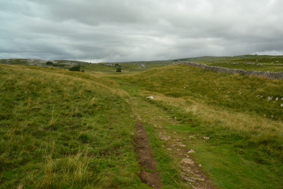 ModerateGrassington Audio Trail6.3 km · 1.8 hr · At the trailheadFifteen audio stops link limestone grassland and lead-mining history
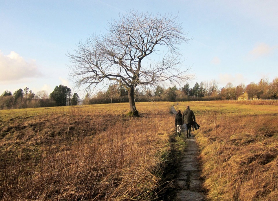 ModerateGrassington Meadows5.6 km · 1.8 hr · At the trailheadFlower-rich hay meadows, stone stiles and the falls at Linton
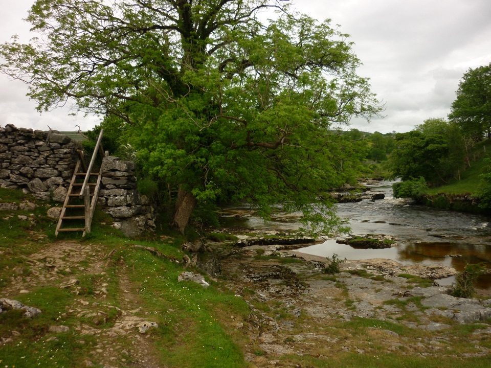 ModerateGrass Wood Circular7.2 km · 2.5 hr · At the trailheadRiver gorge, waterfall and limestone woodland in one Wharfedale loop
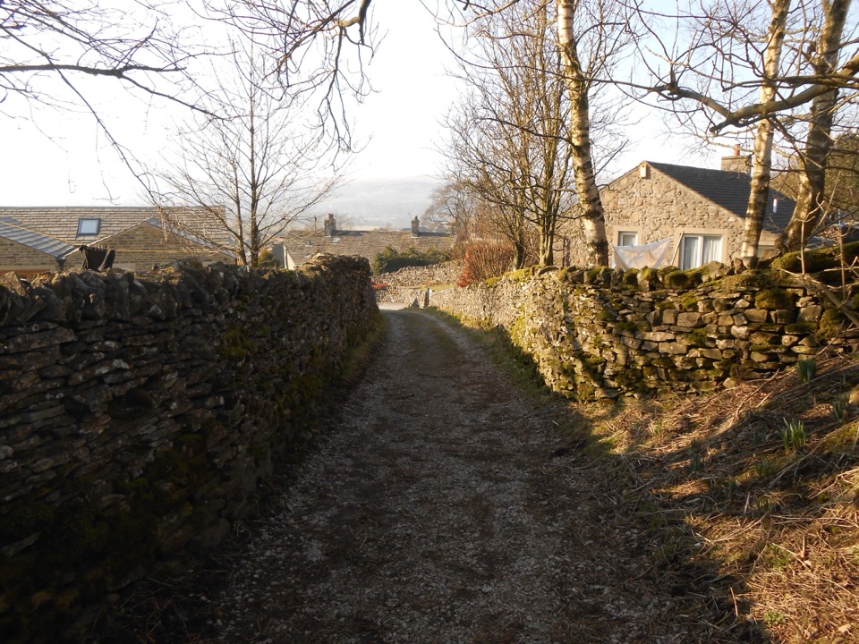 ModerateGrassington to Hebden Circular6.4 km · 2 hr · At the trailheadPackhorse lanes, hay meadows and a steady climb to Edge Lane views
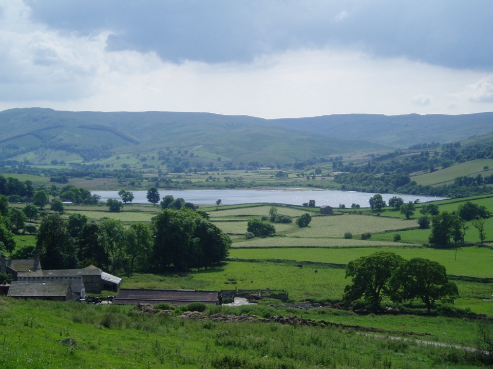 ChallengingDales Inn Way122.3 km · 1.5 days · 0.3 km awaySix days of dale-hopping moorland miles between 26 traditional Dales inns
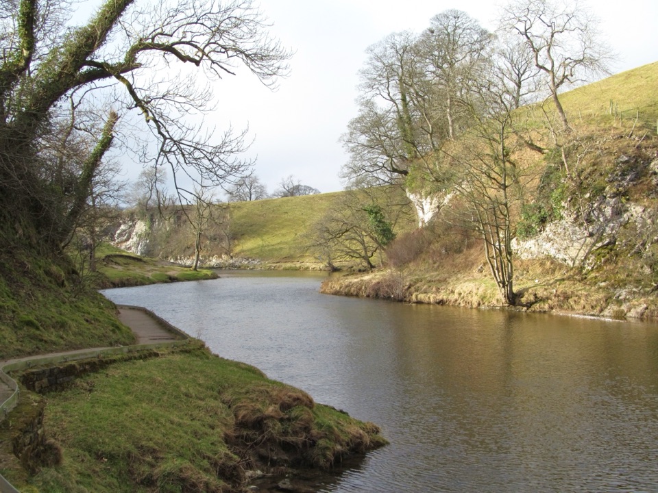 EasyBurnsall Accessible Walk1.4 km · 1 hr · 3.9 km awaySmooth, level riverside walk to Loup Scar, with two kissing gates
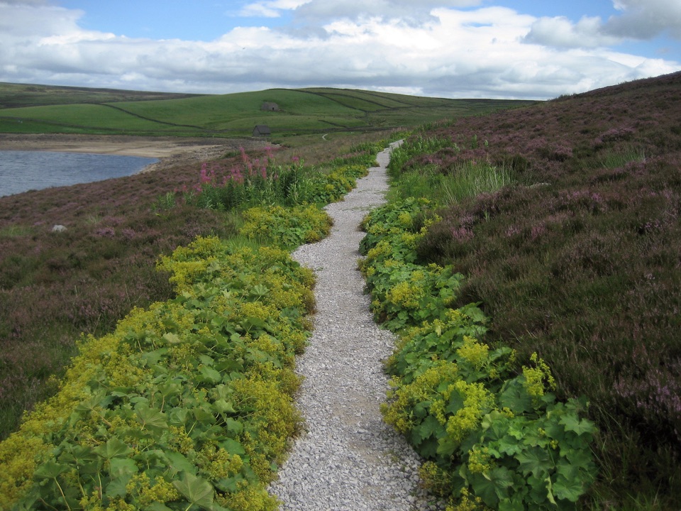 ModerateGrimwith Reservoir Accessible Walk5.6 km · 2 hr · 6.1 km awayWide shoreline track to open water, wildfowl and fell views, no stiles
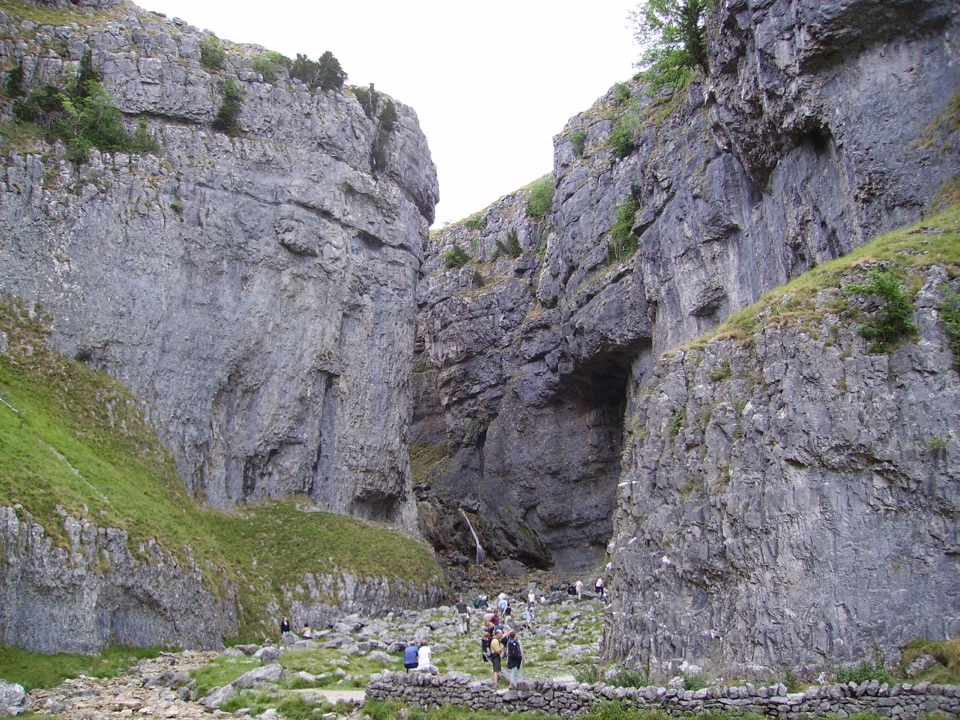 EasyGordale Scar Accessible Walk1.2 km · 45 min · 9 km awayWheelchair-friendly path to a towering limestone gorge and its waterfalls
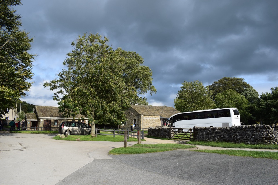 Visitor center · At the trailheadGrassington National Park CentrePark, plan, and walk to Linton Falls from Wharfedale's info hub
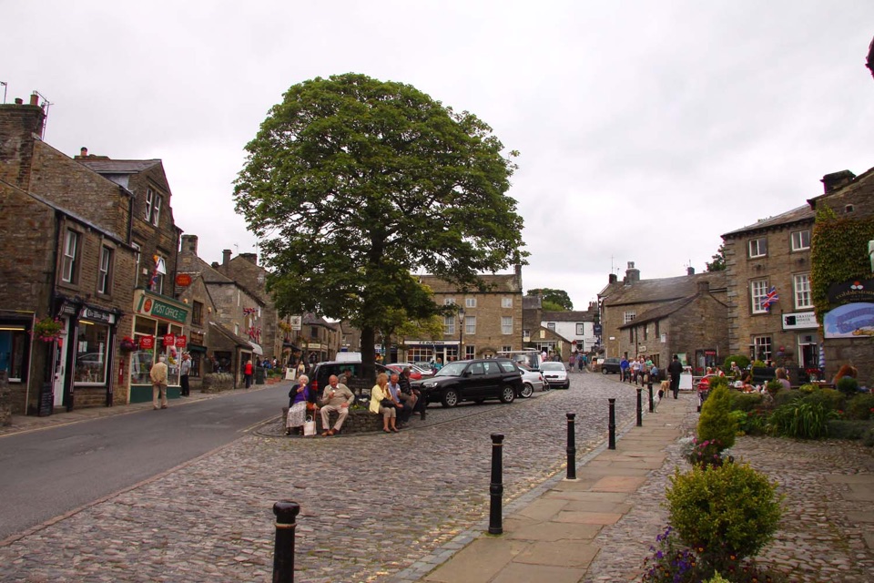 Sight · 0.2 km awayGrassingtonCobbled market square, stone cottages and riverside walks by the Wharfe
 Sight · 0.3 km awayGrassington Folk MuseumTwo miners' cottages packed with Upper Wharfedale's mining and daily life
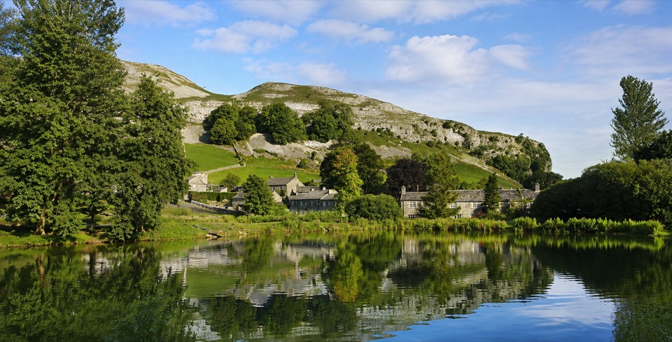 Sight · 4.9 km awayKilnsey Park EstateSpringwater lakes, farm animals and trout under a limestone crag
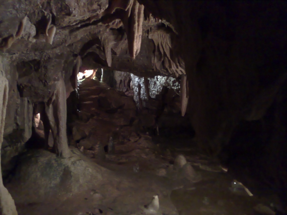 Sight · 8.6 km awayStump Cross CavernsHard hats, 65 steps and calcite that glows under UV torches
 Sight · 8.7 km awayGordale ScarHidden gorge where 150m limestone walls close around a tufa waterfall
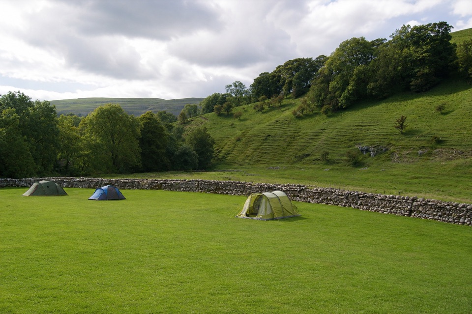 Campground · 8.9 km awayKettlewell CampingFamily-run field on Kettlewell's edge, ten metres from the Dales Way
 Sight · 9.1 km awayJanet's FossMoss-and-tufa cascade in bluebell woods where a fairy queen once lived
Parkwolf’s Yorkshire Dales ranking

The audio tour guide for the drive, plus offline maps, trails, and wildlife heatmaps for when the signal drops.





