Parking
Use the Grimwith Reservoir car park beside Yorkshire Dales Sailing Club, off the B6265 between Grassington and Pateley Bridge. Follow the signed Yorkshire Water access track; the entrance has a height barrier.
Yorkshire Dales National Park, EN
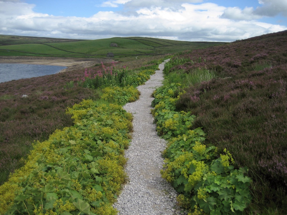
Wide shoreline track to open water, wildfowl and fell views, no stiles
Overview
Map & elevation
Plan your hike

The highest, rockiest slopes around here are a summer buffet for grizzly bears.
Yorkshire Dales Tour Guide
Parkwolf is a GPS audio tour guide for Yorkshire Dales National Park. As you drive, it chimes in with what’s ahead: hidden gems, upcoming stops, history, geology, and wildlife, right through your car’s speakers.
Recorded for this area
The Falcon Back on the Cliffs“If you’re walking beneath a Dales cliff, look for a bird with pointed wings, a short tail and a dark moustache on its pale face. That’s a peregrine. It hunts other birds with a steep, fast dive from above.”
Plays on the road 1.4 km from the trailhead in the Parkwolf Yorkshire Dales Tour Guide.
More stories near here in the app
“Fantastic app with many points of information… It’s great to just turn on while you’re driving and it gives you an audio tour of the national Park. We love it!!!!”


Trail guide
This is the formal Miles Without Stiles blue Route for many at Grimwith Reservoir, not the full 4.5-mile reservoir circuit and not the longer red Route for some. It is an out-and-back: 2.8 km each way, so 5.6 km / 3.5 miles round trip, and you walk the same corridor back to the car park. Allow around 2 hours as a rough guide, including stops and easy going on the accessible surface.
From the car park next to the sailing club you head clockwise along the east side, with the water close by most of the way. You pass the historic Grimwith House area and a wide, maintained waterside track, then continue across the north shore to the marked blue turning point near the northwest end. That is the payoff spot: a big open sweep of water and moorland with nothing much between you and it. Turn there and retrace. The west side extension is the harder red route and is not part of this walk.
Overall easy to moderate. The east side track is described as at least 2 m wide and well surfaced, with existing gradients no steeper than 1:10 under the accessibility standard, though short ramps down to the water's edge can reach 1:8. There are no steps or stiles, but some stretches are unsurfaced or uneven and can soften after wet spells, and a short climb can be hard work in a manual wheelchair. Treat it as a genuinely accessible route rather than a promise that every metre suits every chair.
This is open, exposed moorland around a large reservoir: broad water, heather and rough grass, long fell views and plenty of sky. The reservoir is a strong spot for wildfowl, with wigeon, teal, greylag geese and Canada geese among the regulars, so bring binoculars if birds interest you at all.
There is very little shelter. Wind comes straight off the water and the moor, so a windproof layer matters more here than the distance suggests. On a clear day that openness is the whole point; in driving rain it is a long way back with no cover.
Start at the car park next to Yorkshire Dales Sailing Club, off the B6265 between Grassington and Pateley Bridge. The entrance has a height barrier, so tall vehicles need to plan around it. There are wheelchair-accessible toilets and picnic facilities at the start. Assistance animals are welcome, and ordinary dogs are allowed but should be kept on a lead around livestock and nesting birds.
The accessible section at Malham Tarn is a sensible alternative for a more compact outing, with more boardwalk and less commitment to a long exposed out-and-back.
Wildlife
 10 sightingsEurasian OtterMost seen around 7 PMSighting map
 11 sightingsAtlantic SalmonMost seen around 7 AMSighting map
 12 sightingsShort-eared OwlMost seen around 7 PMSighting map
 22 sightingsWestern Barn OwlMost seen around 6 AMSighting map
 27 sightingsTawny OwlMost seen around 7 PMSighting map
 34 sightingsCommon KingfisherMost seen around 7 AMSighting map
Sighting maps show where each species has been reported across Yorkshire Dales. Wildlife moves, so no sighting is guaranteed.
Keep exploring
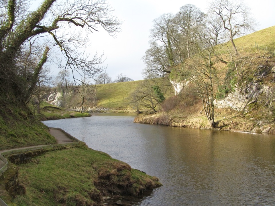 EasyBurnsall Accessible Walk1.4 km · 1 hr · 4.3 km awaySmooth, level riverside walk to Loup Scar, with two kissing gates
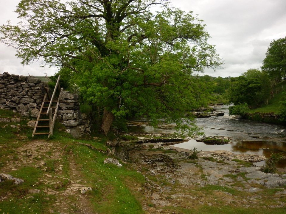 ModerateGrass Wood Circular7.2 km · 2.5 hr · 6.1 km awayRiver gorge, waterfall and limestone woodland in one Wharfedale loop
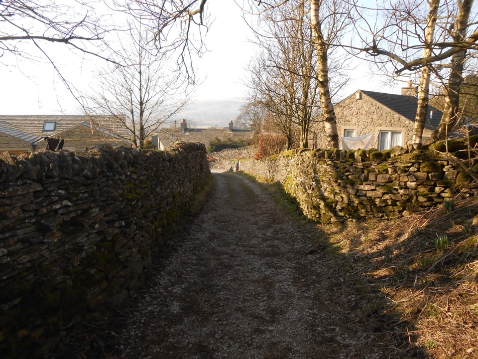 ModerateGrassington to Hebden Circular6.4 km · 2 hr · 6.1 km awayPackhorse lanes, hay meadows and a steady climb to Edge Lane views
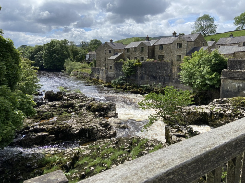 ModerateGrassington Accessible Walk2.1 km · 1 hr · 6.1 km awayWalled lane and riverside loop to the falls, with short steep pitches
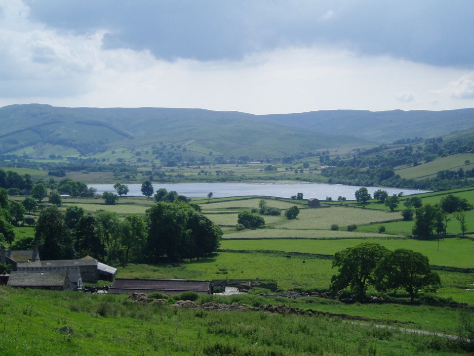 ChallengingDales Inn Way122.3 km · 1.5 days · 6.1 km awaySix days of dale-hopping moorland miles between 26 traditional Dales inns
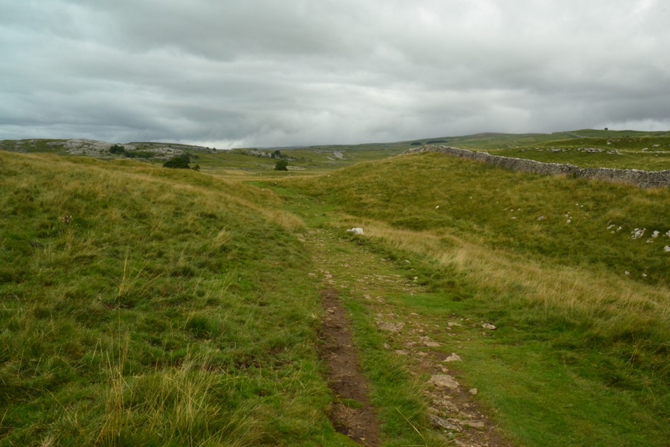 ModerateGrassington Audio Trail6.3 km · 1.8 hr · 6.1 km awayFifteen audio stops link limestone grassland and lead-mining history
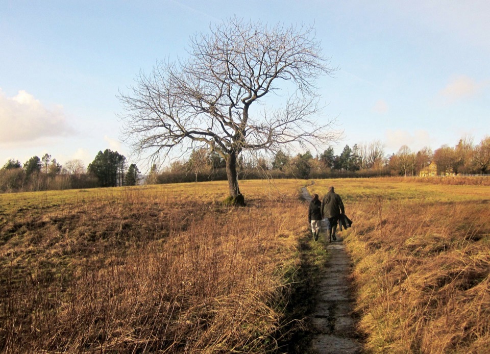 ModerateGrassington Meadows5.6 km · 1.8 hr · 6.1 km awayFlower-rich hay meadows, stone stiles and the falls at Linton
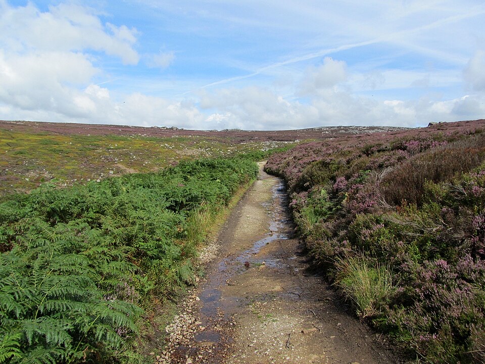 ChallengingSimon’s Seat and the Valley of Desolation13.3 km · 4.5 hr · 8.8 km awayWaterfall glen, open moor and a 485 m gritstone summit above Wharfedale
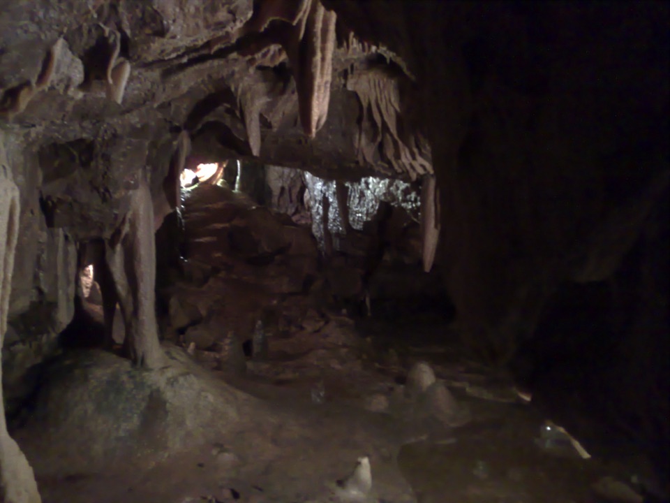 Sight · 2.5 km awayStump Cross CavernsHard hats, 65 steps and calcite that glows under UV torches
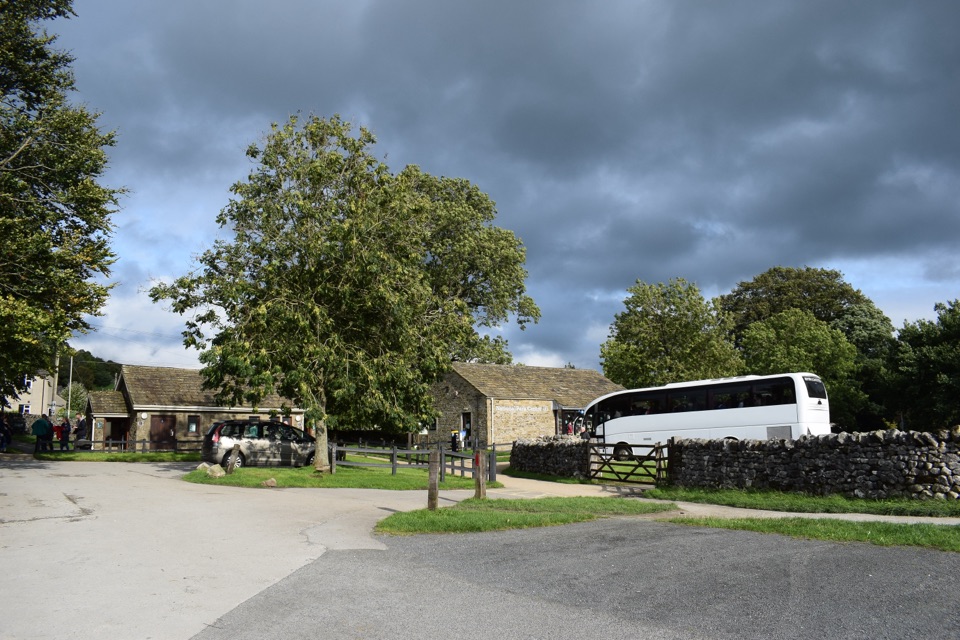 Visitor center · 6.1 km awayGrassington National Park CentrePark, plan, and walk to Linton Falls from Wharfedale's info hub
 Sight · 6.1 km awayGrassington Folk MuseumTwo miners' cottages packed with Upper Wharfedale's mining and daily life
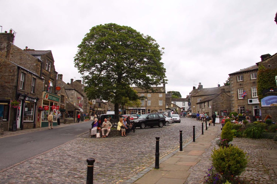 Sight · 6.2 km awayGrassingtonCobbled market square, stone cottages and riverside walks by the Wharfe
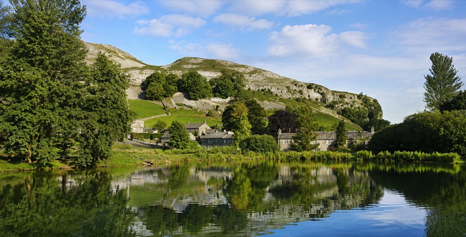 Sight · 9.7 km awayKilnsey Park EstateSpringwater lakes, farm animals and trout under a limestone crag
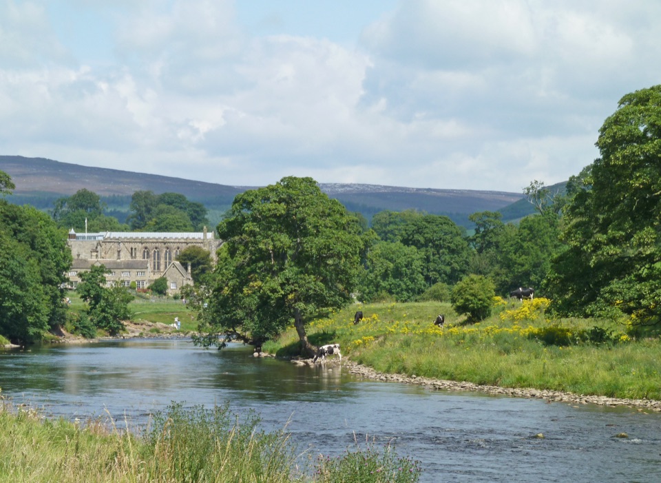 Sight · 9.8 km awayBolton AbbeyRiverside priory ruins, 62 stepping stones and the roaring Strid
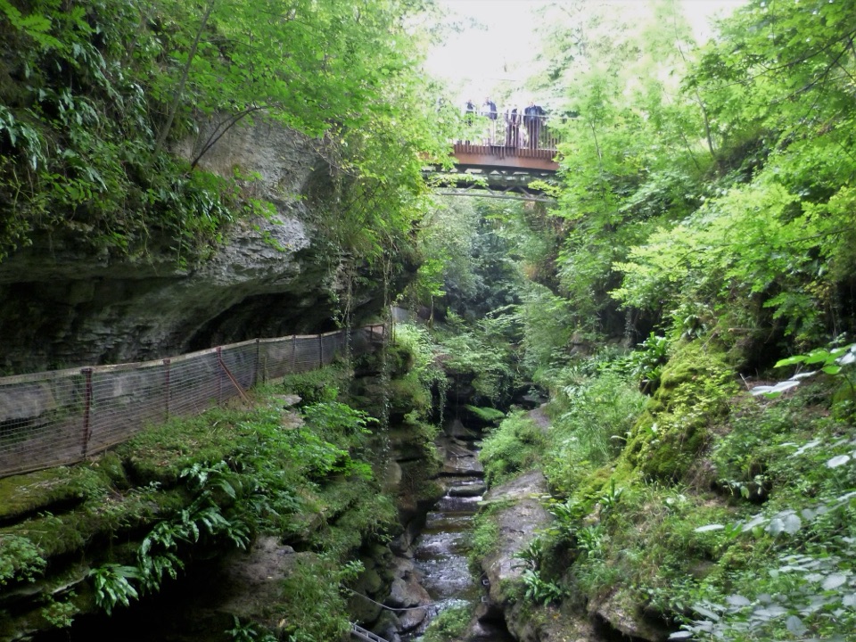 Sight · 9.9 km awayHow Stean GorgeNarrow limestone ravine with caves, plus a glass-floored cafe above
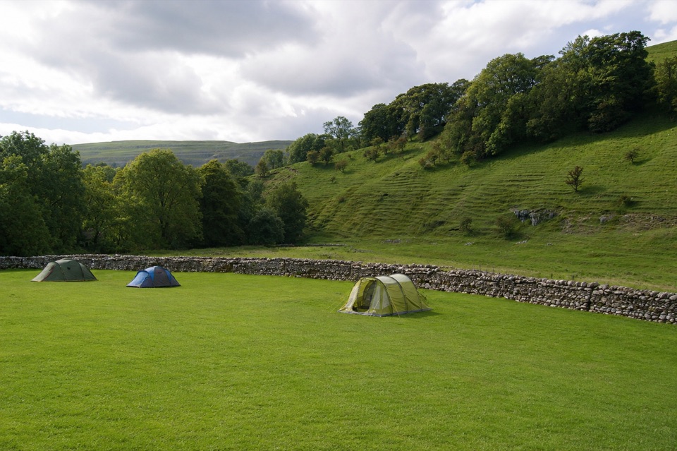 Campground · 12.3 km awayKettlewell CampingFamily-run field on Kettlewell's edge, ten metres from the Dales Way
Parkwolf’s Yorkshire Dales ranking

The audio tour guide for the drive, plus offline maps, trails, and wildlife heatmaps for when the signal drops.





