1 active Yorkshire Dales alert
- ClosureTemporary closures on public rights of wayAvoid the listed sections of public rights of way while their temporary closures or pedestrian prohibition are in force. - Public Bridleway No. 52 (05.Official details
Sight · Yorkshire Dales National Park
Grey-stone Wharfedale village with riverside walks and three inns
Overview
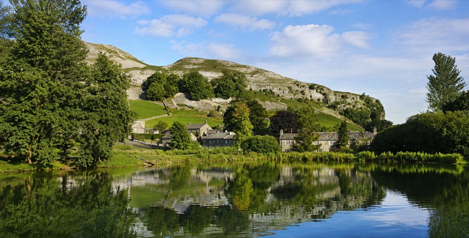
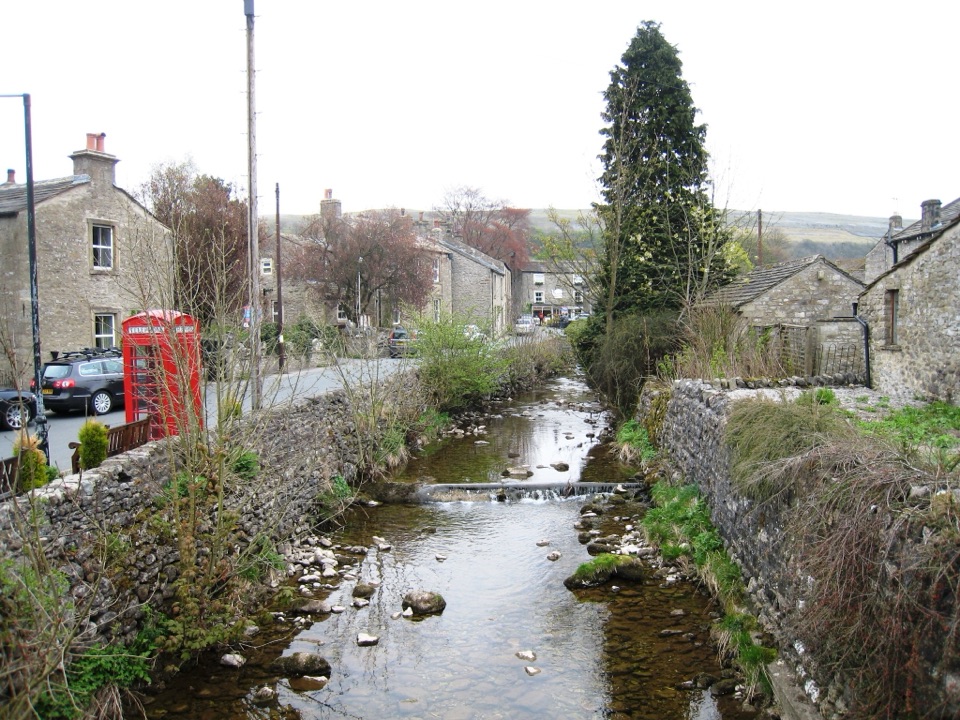
Kettlewell sits in a steep, narrow part of Wharfedale, an attractive grey-stone village of narrow lanes and cottages gathered around a beck. It marks the point where the old coach road over Park Rash Pass, coming from Middleham and Coverdale, joins the main road up the dale, which explains why such a small place has long served travellers. Limestone terraces rise on either side, broken by coppices of hazel and rowan, and the valley floor is easy, sociable walking country.
 Parkwolf’s verdictWhy Go
Map
Plan your stop

The highest, rockiest slopes around here are a summer buffet for grizzly bears.
Yorkshire Dales Tour Guide
Parkwolf is a GPS audio tour guide for Yorkshire Dales National Park. As you drive, it chimes in with what’s ahead: hidden gems, upcoming stops, history, geology, and wildlife, right through your car’s speakers.
Recorded for this place
Kettlewell in Wharfedale“You're coming up on Kettlewell, a grey-stone village wrapped around a beck in the narrow part of Wharfedale.”
Plays as you drive up to Kettlewell in the Parkwolf Yorkshire Dales Tour Guide.
More stories near here in the app
“Fantastic app with many points of information… It’s great to just turn on while you’re driving and it gives you an audio tour of the national Park. We love it!!!!”


Guide
The Dales Way heads north to Buckden, a documented 4 mile (6.4km) linear route usually walked in 1 to 2 hours. It is described as easy and flat, crossing fields and farmland between historic dry-stone walls, with a chance of seeing kingfishers and trout along the water. The Buckden direction ends, or begins, in the village centre.
For something shorter, a gentle stroll beside the river stays close to the village. Longer and much more demanding options climb to Great Whernside at 704m, or cross Old Cote Moor towards Arncliffe. These higher routes leave shelter behind quickly, so treat them as proper hill days with suitable footwear, layers and a map.
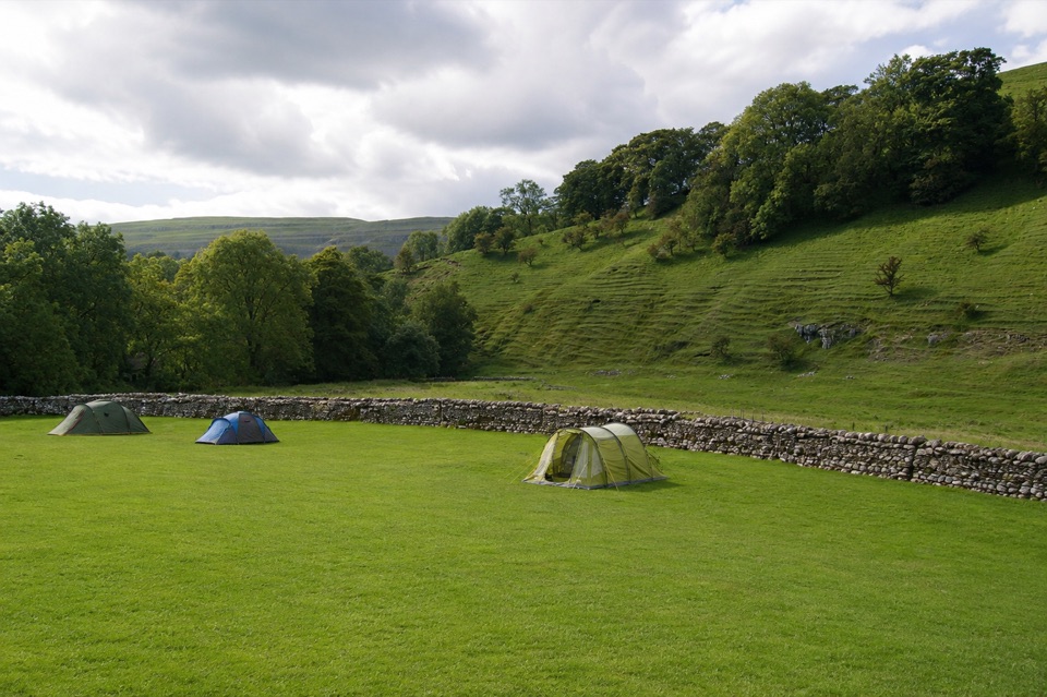
There are three inns: the Blue Bell, likely the oldest, the Racehorses, in an eighteenth-century building, and the King's Head. Tea rooms, a restaurant, a convenience store and a range of lodging, including a youth hostel and nearby campsites, mean you can make this a base rather than a stop. Visitor comment on the pubs and the surrounding walking is consistently warm.
The parish church is worth a few minutes for its Norman font, a reminder of how long this crossing point has been settled.
There is a surface National Park car park in the village, with public flush toilets on site. Buses stop outside the car park, and a garage is next door, with fuel available. Public EV charging offers two 7kW Type 2 sockets. A picnic table gives an option for those carrying their own food.
Kettlewell is small, and fine-weather weekends can feel busier than the quiet weekday norm, so an earlier start suits anyone hoping for calm lanes and unhurried photographs. Because the Dales Way section to Buckden is linear, plan your return in advance rather than assuming a loop.
The contrast between the valley floor and the fells is sharp. Walking on the valley floor is gentler and easier going, but the moorland and summit routes become rough and weather-exposed within a short distance of the village. Check conditions before committing to the higher ground, and be ready to turn back.
The classic view takes in the village set against the dale sides from the road, with grey stone against green and grey fellside. Closer in, the beck flowing through the village and the frontages of the old inns and cottages both reward a slow wander. Light moving across the limestone terraces after rain is often the most rewarding moment of a visit.
This is a working dale as well as a visitor destination, and the surrounding farmland is actively worked. Keep to paths, close gates behind you, and give way on the narrow lanes, where space is tight for vehicles and walkers alike.
Wildlife
 10 sightingsEurasian OtterMost seen around 7 PMSighting map
 11 sightingsAtlantic SalmonMost seen around 7 AMSighting map
 12 sightingsShort-eared OwlMost seen around 7 PMSighting map
 22 sightingsWestern Barn OwlMost seen around 6 AMSighting map
 27 sightingsTawny OwlMost seen around 7 PMSighting map
 34 sightingsCommon KingfisherMost seen around 7 AMSighting map
Sighting maps show where each species has been reported across Yorkshire Dales. Wildlife moves, so no sighting is guaranteed.
Keep exploring
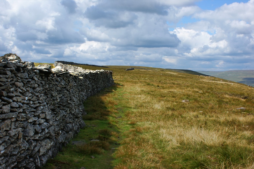 ChallengingOld Cote Moor from Kettlewell15.9 km · 3.7 hr · At the trailheadSteep ridge walk between two dales, with a gentle river return
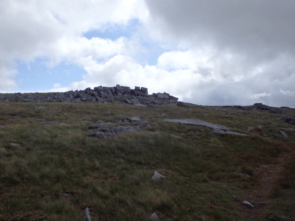 ChallengingGreat Whernside from Kettlewell12.9 km · 5.5 hr · 0.1 km awayCave mouth, hilltop hostel, then 704 m of rocky Wharfedale fell
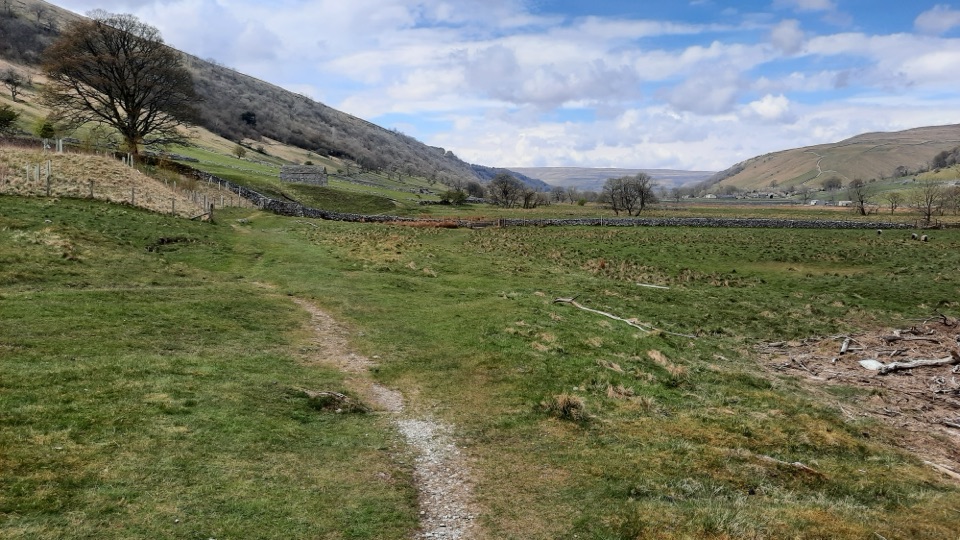 ModerateKettlewell to Starbotton Circular7.2 km · 3.2 hr · 0.1 km awayClimb high above Upper Wharfedale, then stroll back along the River Wharfe
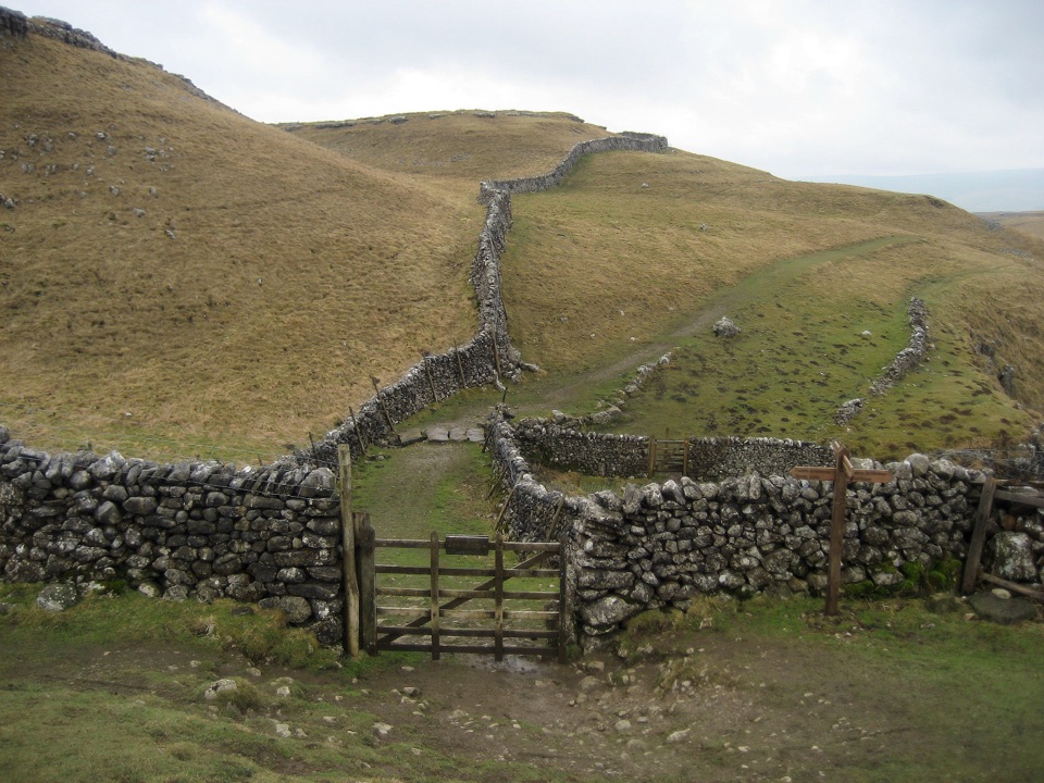 ModerateKettlewell to Grassington Walk10.5 km · 3 hr · 0.1 km awayBus up, walk back: limestone shelves and wide Wharfedale views
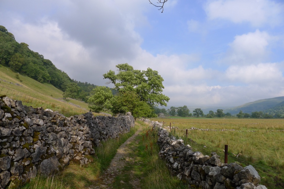 ModerateBuckden to Starbotton Hillside and River Walk8 km · 2.5 hr · 5.7 km awaySteep fellside climb to Starbotton, easy Wharfe riverside path home
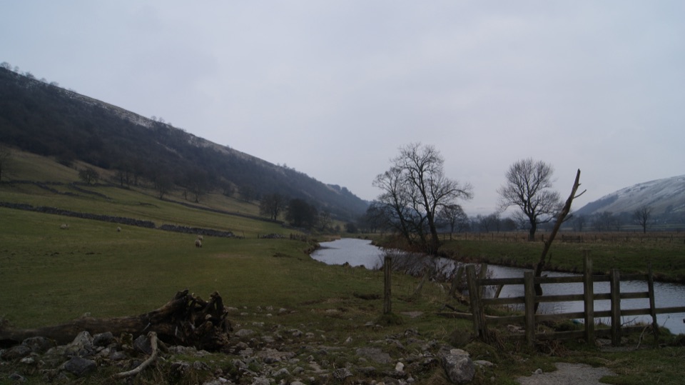 EasyBuckden to Kettlewell Walk6.4 km · 2 hr · 5.7 km awayRiverside Dales Way stroll past hay meadows into Kettlewell
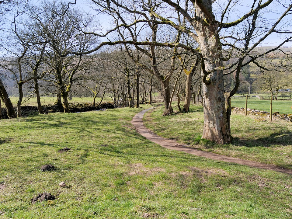 ModerateBuckden to Cray to Hubberholme Circuit6.4 km · 2.8 hr · 5.7 km awaySteep fell climb, high Wharfedale views, then a riverside walk back
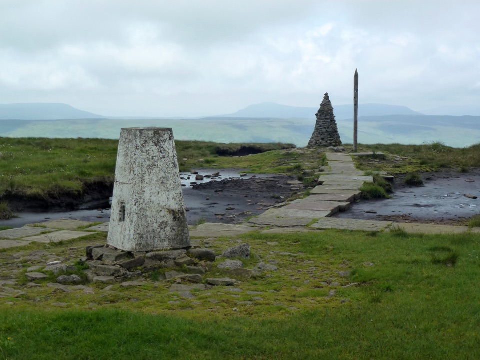 ChallengingBuckden Pike and the Polish Memorial13 km · 4.3 hr · 5.7 km awayClimb a Roman road to a 702 m summit and airmen's memorial
Parkwolf’s Yorkshire Dales ranking
The audio tour guide for the drive, plus offline maps, trails, and wildlife heatmaps for when the signal drops.