Parking
Use the Kettlewell village car park near grid reference SD968723; some roadside parking is also available in the village. Begin near the bridge over Dowber Gill Beck.
Yorkshire Dales National Park, EN
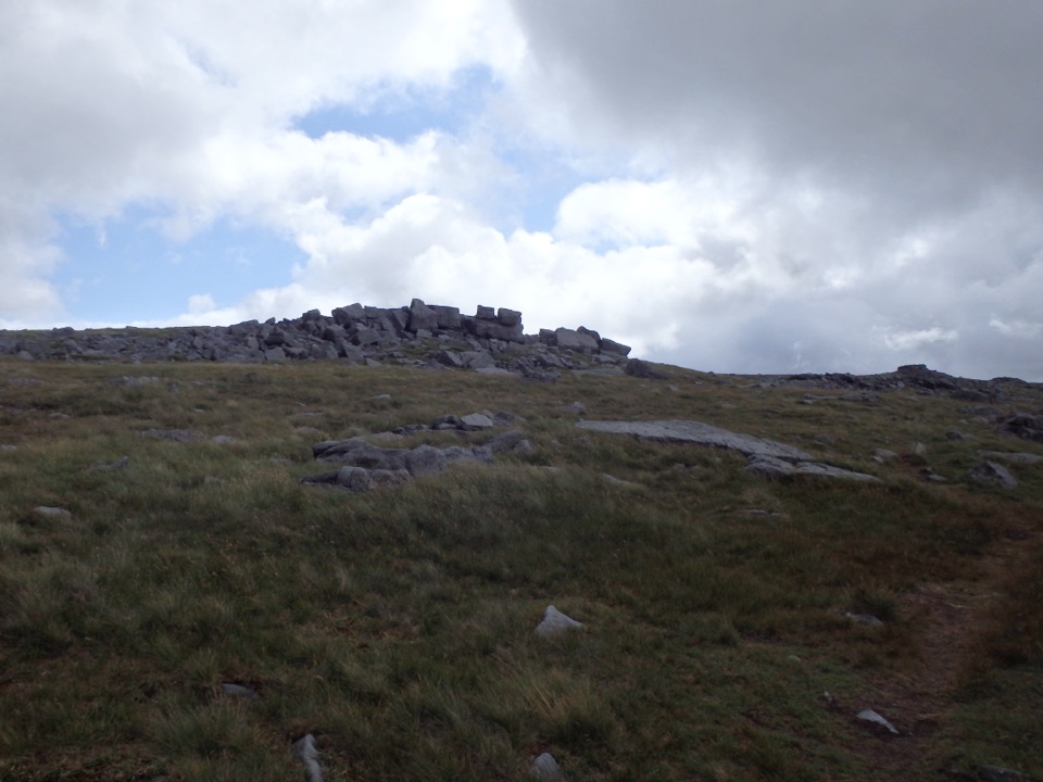
Cave mouth, hilltop hostel, then 704 m of rocky Wharfedale fell
Overview
Map & elevation
Plan your hike

The highest, rockiest slopes around here are a summer buffet for grizzly bears.
Yorkshire Dales Tour Guide
Parkwolf is a GPS audio tour guide for Yorkshire Dales National Park. As you drive, it chimes in with what’s ahead: hidden gems, upcoming stops, history, geology, and wildlife, right through your car’s speakers.
Recorded for this trailhead
Kettlewell in Wharfedale“You're coming up on Kettlewell, a grey-stone village wrapped around a beck in the narrow part of Wharfedale.”
Plays as you drive up to this trailhead in the Parkwolf Yorkshire Dales Tour Guide.
More stories near here in the app
“Fantastic app with many points of information… It’s great to just turn on while you’re driving and it gives you an audio tour of the national Park. We love it!!!!”


Trail guide
A circular 8.0 mile (13 km) walk out of Kettlewell that climbs to the 704 m summit of Great Whernside, then loops back over the moor and down the old green lanes. Expect around 5.5 hours moving time and roughly 555 m of ascent. It is rated hard (7/10), and that feels right: the climbing is sustained, the ground is rough, and the tops are open.
Surfaces run from village lanes and field paths to rocky moorland, stony tracks and rough fell. Boggy, squelchy ground is normal after rain, especially on the flatter approach to the summit. It is not a scramble, but the high section is exposed and navigation gets much harder in low cloud, so carry map and compass and know how to use them.
This is limestone and gritstone upland: gritstone outcrops on the climb, and open fell along the ridge. In clear air the summit looks out over Wharfedale, Buckden Pike, the Pennines, the Three Peaks, Pendle Hill, Simon's Seat, and sometimes as far as the Lake District fells. Clarity varies, so treat the long views as a bonus rather than a given.
The route uses public rights of way and open access land. Start in Kettlewell village, with the village car park near SD968723 and some roadside parking nearby. No permit is needed for the standard walk.
Dogs are allowed on the route. Keep them on a lead on rights of way and in fields with livestock, on a short lead from March to July for ground-nesting birds, and under close control around cattle.
The wet middle section is the weak link. That flatter ground below the summit can be a slog of peat and standing water, and it comes exactly where you want easy walking before the final push. Sturdy waterproof boots and gaiters make a real difference.
Wildlife
 10 sightingsEurasian OtterMost seen around 7 PMSighting map
 11 sightingsAtlantic SalmonMost seen around 7 AMSighting map
 12 sightingsShort-eared OwlMost seen around 7 PMSighting map
 22 sightingsWestern Barn OwlMost seen around 6 AMSighting map
 27 sightingsTawny OwlMost seen around 7 PMSighting map
 34 sightingsCommon KingfisherMost seen around 7 AMSighting map
Sighting maps show where each species has been reported across Yorkshire Dales. Wildlife moves, so no sighting is guaranteed.
Keep exploring
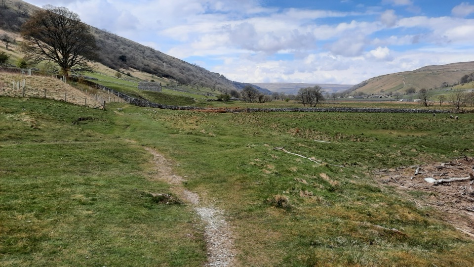 ModerateKettlewell to Starbotton Circular7.2 km · 3.2 hr · At the trailheadClimb high above Upper Wharfedale, then stroll back along the River Wharfe
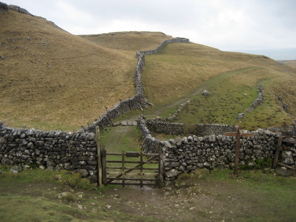 ModerateKettlewell to Grassington Walk10.5 km · 3 hr · At the trailheadBus up, walk back: limestone shelves and wide Wharfedale views
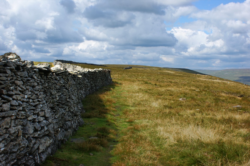 ChallengingOld Cote Moor from Kettlewell15.9 km · 3.7 hr · At the trailheadSteep ridge walk between two dales, with a gentle river return
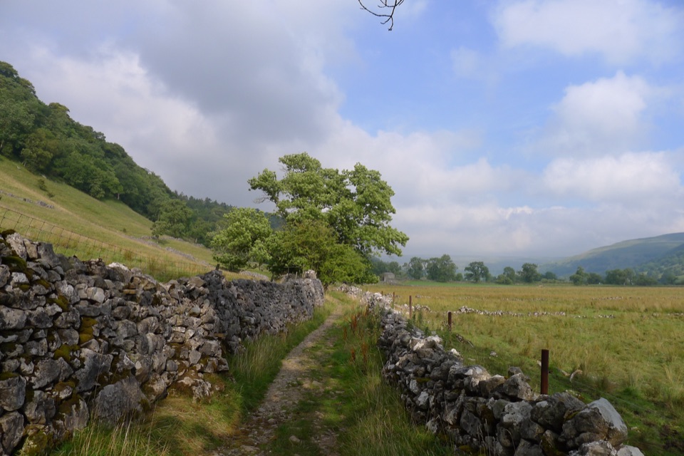 ModerateBuckden to Starbotton Hillside and River Walk8 km · 2.5 hr · 5.7 km awaySteep fellside climb to Starbotton, easy Wharfe riverside path home
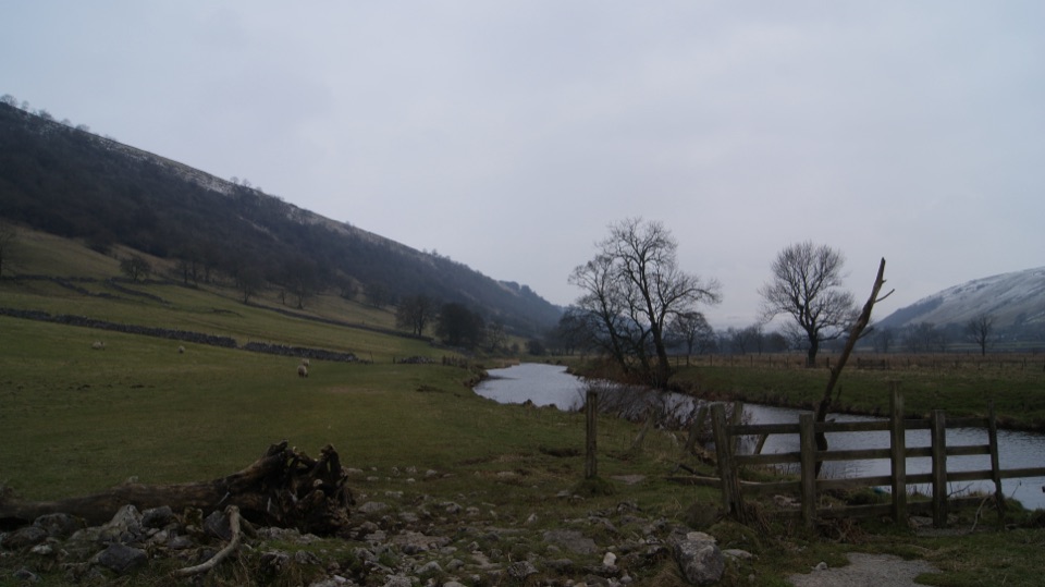 EasyBuckden to Kettlewell Walk6.4 km · 2 hr · 5.7 km awayRiverside Dales Way stroll past hay meadows into Kettlewell
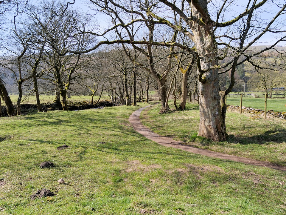 ModerateBuckden to Cray to Hubberholme Circuit6.4 km · 2.8 hr · 5.7 km awaySteep fell climb, high Wharfedale views, then a riverside walk back
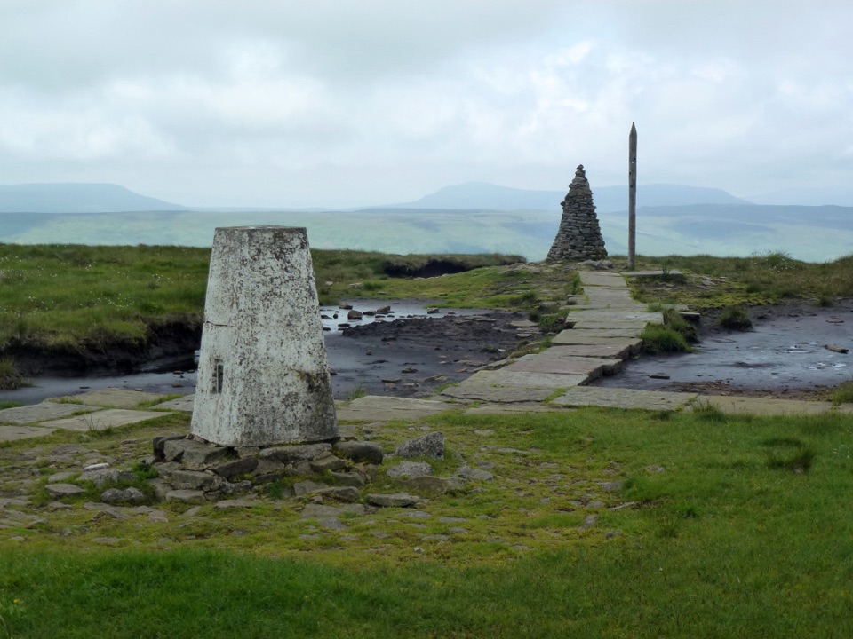 ChallengingBuckden Pike and the Polish Memorial13 km · 4.3 hr · 5.7 km awayClimb a Roman road to a 702 m summit and airmen's memorial
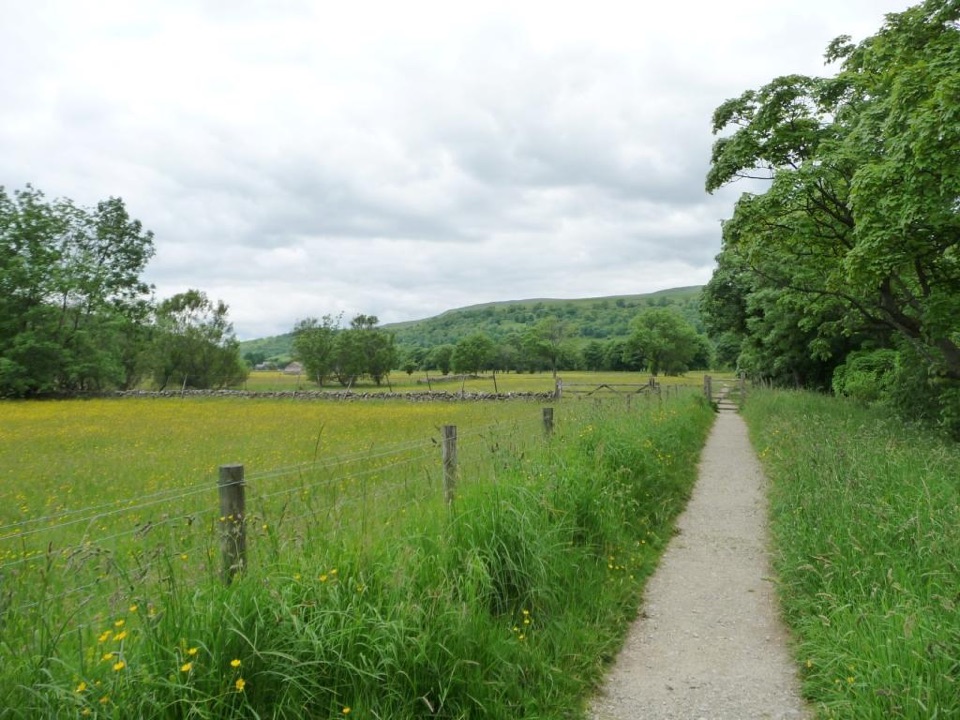 EasyBuckden Accessible Walk2.6 km · 1.3 hr · 5.7 km awayLevel riverside walking by the Wharfe, under Upper Wharfedale hills
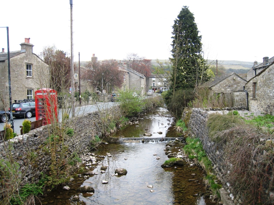 Sight · 0.1 km awayKettlewellGrey-stone Wharfedale village with riverside walks and three inns
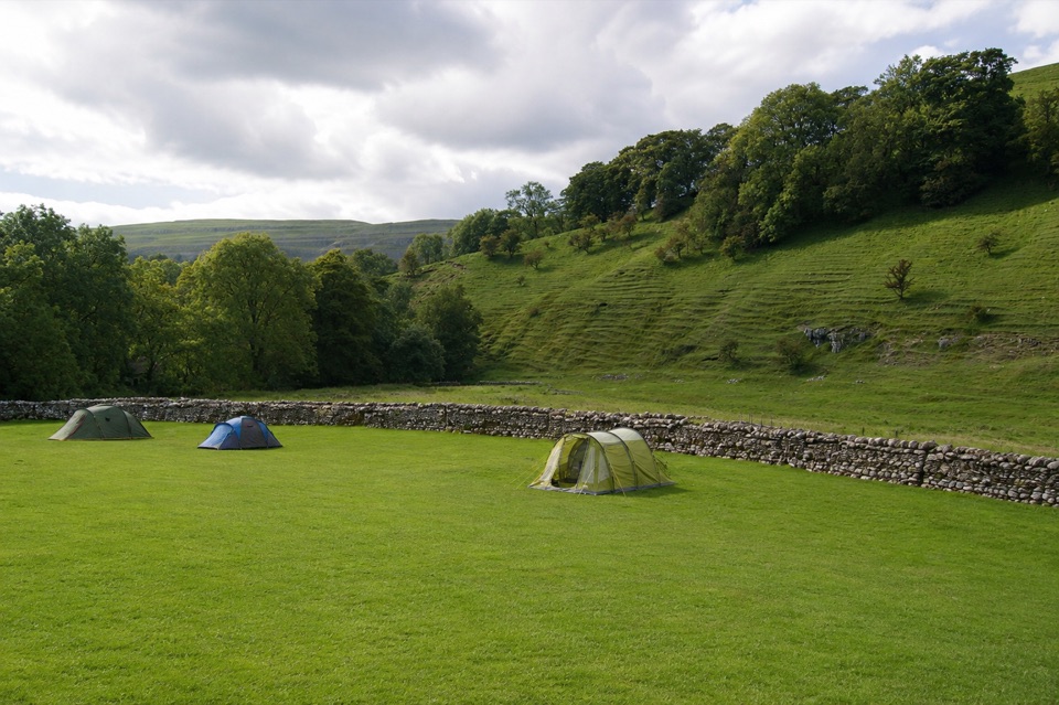 Campground · 0.4 km awayKettlewell CampingFamily-run field on Kettlewell's edge, ten metres from the Dales Way
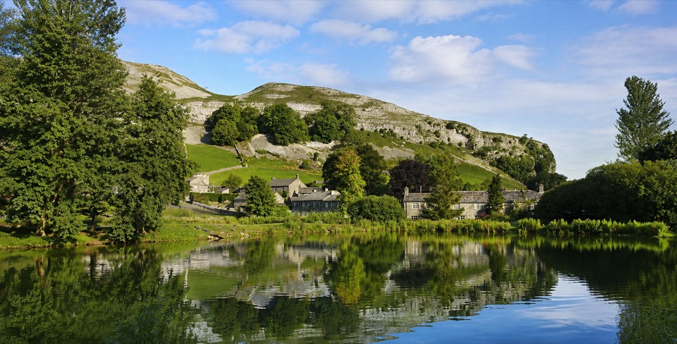 Sight · 4.6 km awayKilnsey Park EstateSpringwater lakes, farm animals and trout under a limestone crag
 Sight · 9 km awayGrassington Folk MuseumTwo miners' cottages packed with Upper Wharfedale's mining and daily life
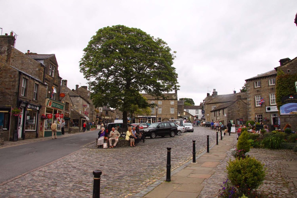 Sight · 9 km awayGrassingtonCobbled market square, stone cottages and riverside walks by the Wharfe
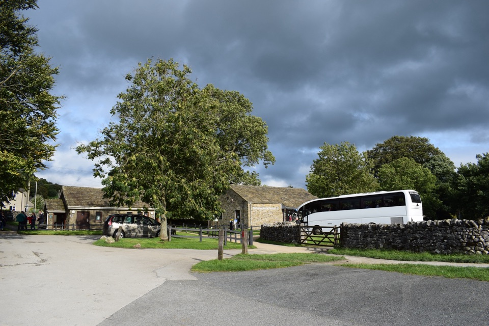 Visitor center · 9.2 km awayGrassington National Park CentrePark, plan, and walk to Linton Falls from Wharfedale's info hub
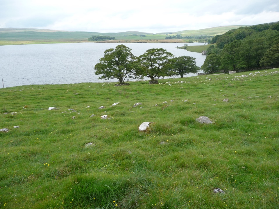 Sight · 9.3 km awayMalham TarnA glacier-made lime-rich lake ringed by bog, boardwalk and birds
 Sight · 9.7 km awayGordale ScarHidden gorge where 150m limestone walls close around a tufa waterfall
Parkwolf’s Yorkshire Dales ranking

The audio tour guide for the drive, plus offline maps, trails, and wildlife heatmaps for when the signal drops.





