Parking
Use the pay-and-display Yorkshire Dales National Park car park in Kettlewell, just after Kettlewell Bridge. Public toilets are in the car park.
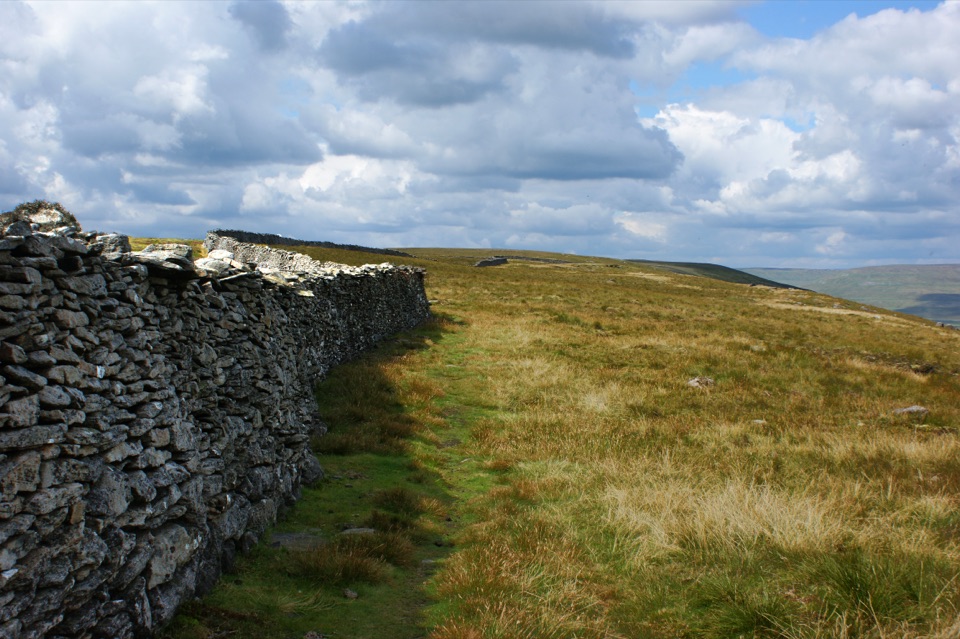
Yorkshire Dales National Park, EN
Steep ridge walk between two dales, with a gentle river return
Overview
Map & elevation
Plan your hike

The highest, rockiest slopes around here are a summer buffet for grizzly bears.
Yorkshire Dales Tour Guide
Parkwolf is a GPS audio tour guide for Yorkshire Dales National Park. As you drive, it chimes in with what’s ahead: hidden gems, upcoming stops, history, geology, and wildlife, right through your car’s speakers.
Recorded for this area
Kettlewell in Wharfedale“You're coming up on Kettlewell, a grey-stone village wrapped around a beck in the narrow part of Wharfedale.”
Plays near this trailhead in the Parkwolf Yorkshire Dales Tour Guide.
More stories near here in the app
“Fantastic app with many points of information… It’s great to just turn on while you’re driving and it gives you an audio tour of the national Park. We love it!!!!”


Trail guide
A circular walk of 9.9 miles (15.84 km) total, allow around 3 hours 40 minutes. It starts and finishes at the Yorkshire Dales National Park car park in Kettlewell, climbs over Old Cote Moor to Buckden, and comes back along the River Wharfe on the Dales Way.
Cross the bridge away from the village and take the stony track, then a steep footpath that squeezes through a nick in the rocky crags. Ladder stiles and a wall guide you up to the summit ridge and plateau, where the trig point sits on open ground with views over Wharfedale on one side and Littondale on the other. Pen-y-Ghent may show itself in the distance on a clear day. About 300 m further on you pick up a stone-flagged bridleway, laid to protect fragile peat, and drop towards Buckden with the valley opening out ahead. A short stretch of Dubb's Lane leads to the riverside path, then it is farm tracks, historic woodland, fields and hay meadows beside the Wharfe back to Kettlewell Bridge and the car park.
This is officially graded challenging: strenuous and hilly. The climb is long and steep, the fellside is exposed, and you cross rocky terraces and several ladder stiles. Ground can be muddy after wet weather. From the valley at roughly 210 m you gain about 400 m to reach the ridge at around 600 m, and the return is level river walking.
Otters are seen fairly regularly around Buckden. Along the Wharfe, look for kingfishers, oystercatchers and dippers, and brown trout in the clear water. The hay meadows and dry-stone walls on the return make the second half quieter and slower going in the best sense.
Dogs are welcome under close control. Seasonal restrictions apply during lambing and ground-nesting bird season from March to July, so check before you set off, keep dogs on a lead near livestock, and give cattle with young plenty of room.
Use the pay-and-display Yorkshire Dales National Park car park in Kettlewell, just after Kettlewell Bridge. Public toilets are in the car park.
The Buckden to Kettlewell riverside walk covers similar valley scenery and is both shorter and flatter. It is a separate, gentler option and does not include the Old Cote Moor ridge.
Wildlife
 10 sightingsEurasian OtterMost seen around 7 PMSighting map
 11 sightingsAtlantic SalmonMost seen around 7 AMSighting map
 12 sightingsShort-eared OwlMost seen around 7 PMSighting map
 22 sightingsWestern Barn OwlMost seen around 6 AMSighting map
 27 sightingsTawny OwlMost seen around 7 PMSighting map
 34 sightingsCommon KingfisherMost seen around 7 AMSighting map
Sighting maps show where each species has been reported across Yorkshire Dales. Wildlife moves, so no sighting is guaranteed.
Keep exploring
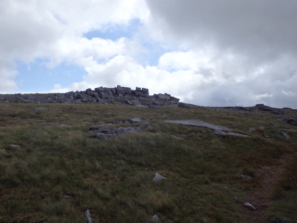 ChallengingGreat Whernside from Kettlewell12.9 km · 5.5 hr · At the trailheadCave mouth, hilltop hostel, then 704 m of rocky Wharfedale fell
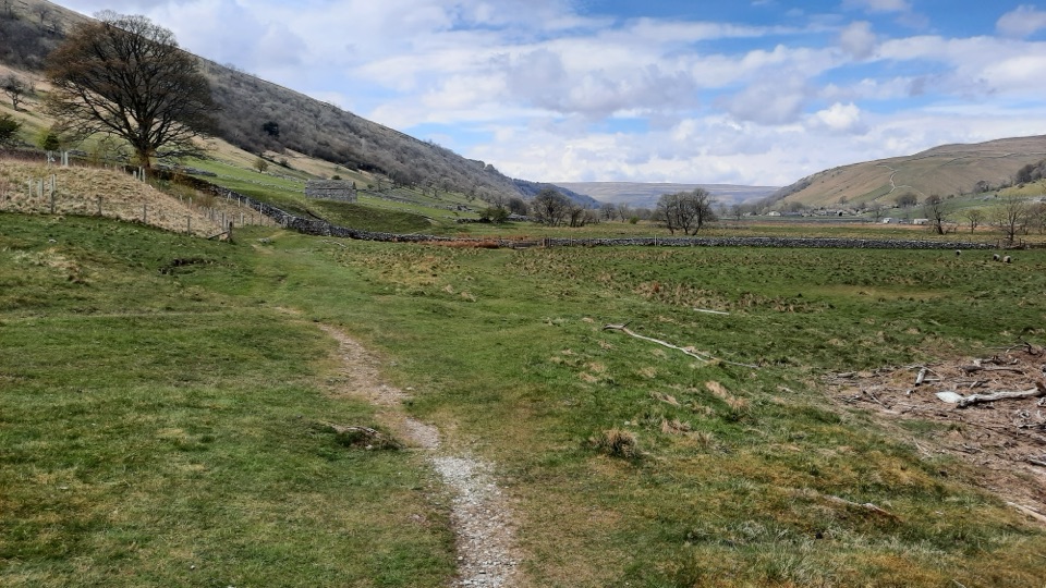 ModerateKettlewell to Starbotton Circular7.2 km · 3.2 hr · At the trailheadClimb high above Upper Wharfedale, then stroll back along the River Wharfe
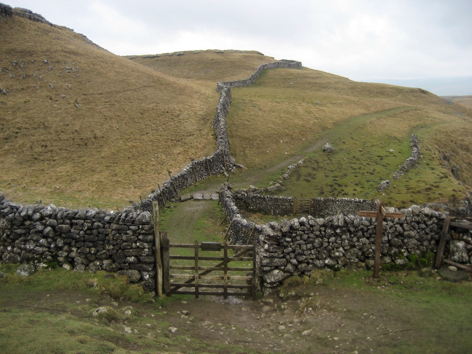 ModerateKettlewell to Grassington Walk10.5 km · 3 hr · At the trailheadBus up, walk back: limestone shelves and wide Wharfedale views
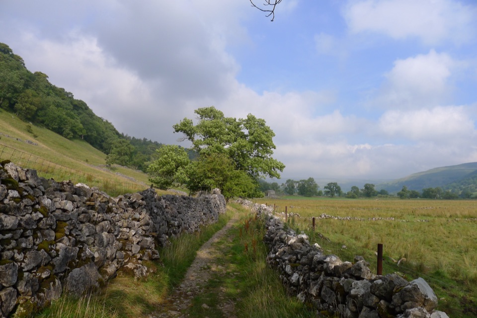 ModerateBuckden to Starbotton Hillside and River Walk8 km · 2.5 hr · 5.7 km awaySteep fellside climb to Starbotton, easy Wharfe riverside path home
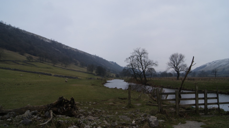 EasyBuckden to Kettlewell Walk6.4 km · 2 hr · 5.7 km awayRiverside Dales Way stroll past hay meadows into Kettlewell
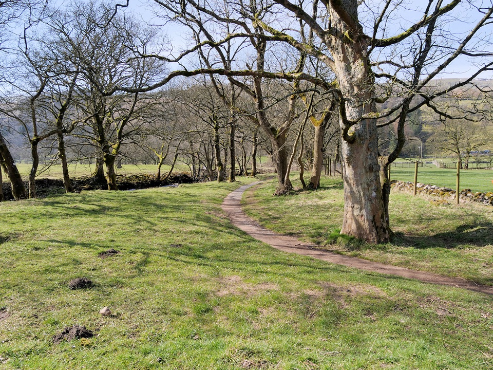 ModerateBuckden to Cray to Hubberholme Circuit6.4 km · 2.8 hr · 5.7 km awaySteep fell climb, high Wharfedale views, then a riverside walk back
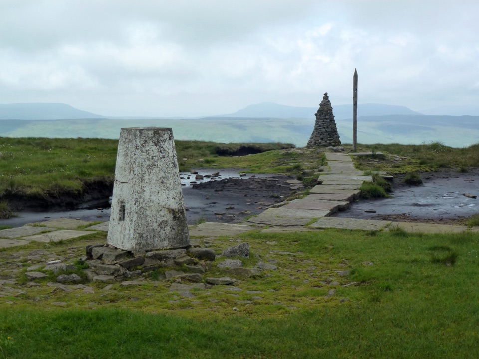 ChallengingBuckden Pike and the Polish Memorial13 km · 4.3 hr · 5.7 km awayClimb a Roman road to a 702 m summit and airmen's memorial
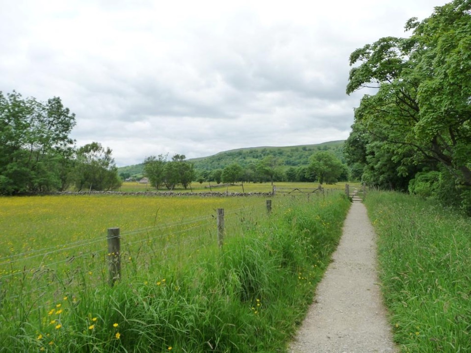 EasyBuckden Accessible Walk2.6 km · 1.3 hr · 5.7 km awayLevel riverside walking by the Wharfe, under Upper Wharfedale hills
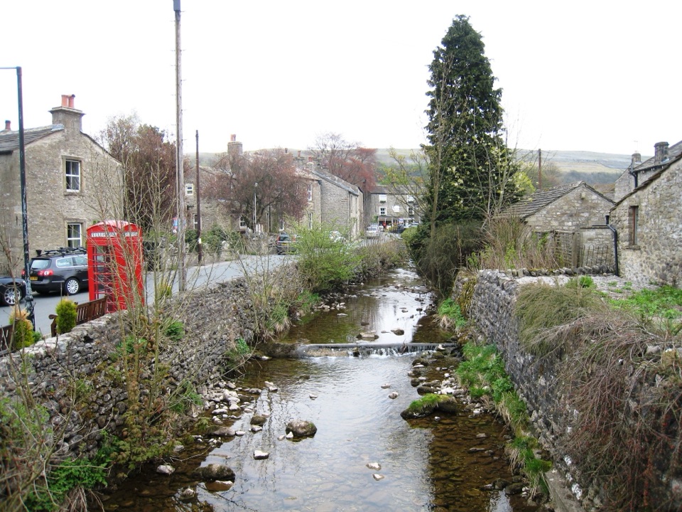 Sight · At the trailheadKettlewellGrey-stone Wharfedale village with riverside walks and three inns
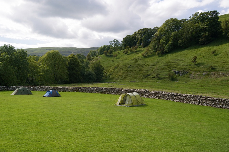 Campground · 0.4 km awayKettlewell CampingFamily-run field on Kettlewell's edge, ten metres from the Dales Way
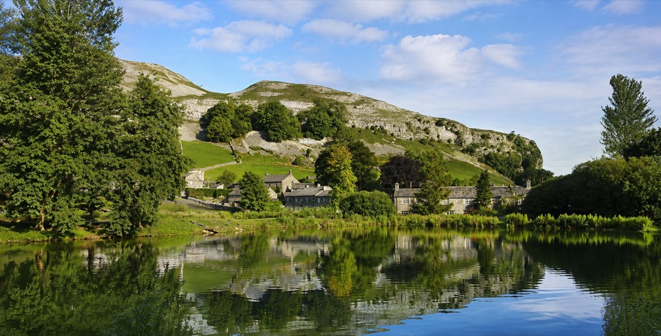 Sight · 4.6 km awayKilnsey Park EstateSpringwater lakes, farm animals and trout under a limestone crag
 Sight · 9 km awayGrassington Folk MuseumTwo miners' cottages packed with Upper Wharfedale's mining and daily life
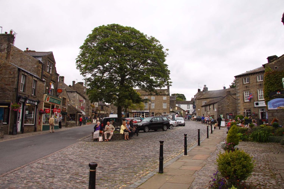 Sight · 9 km awayGrassingtonCobbled market square, stone cottages and riverside walks by the Wharfe
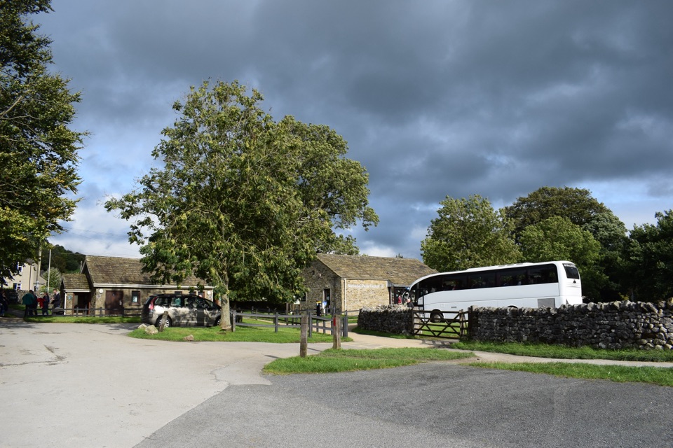 Visitor center · 9.2 km awayGrassington National Park CentrePark, plan, and walk to Linton Falls from Wharfedale's info hub
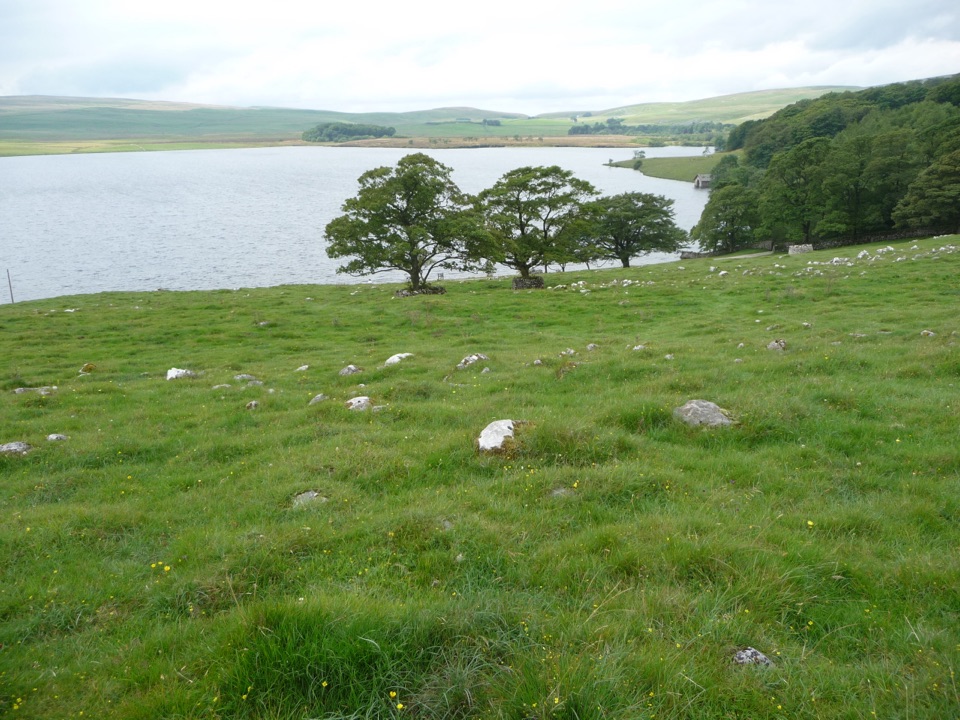 Sight · 9.4 km awayMalham TarnA glacier-made lime-rich lake ringed by bog, boardwalk and birds
 Sight · 9.8 km awayGordale ScarHidden gorge where 150m limestone walls close around a tufa waterfall
Parkwolf’s Yorkshire Dales ranking

The audio tour guide for the drive, plus offline maps, trails, and wildlife heatmaps for when the signal drops.





