Kettlewell to Grassington Walk in Yorkshire Dales National Park

Yorkshire Dales National Park, EN

Kettlewell to Grassington Walk

Bus up, walk back: limestone shelves and wide Wharfedale views

Photo: Wikimedia Commons
Length
10.5km
Time
3hr
Elev. change
134m
Difficulty
Moderate
  • Dogs allowed
  • High point 340 m

Hear the audio tour

Kettlewell in Wharfedale

Overview

About Kettlewell to Grassington Walk

Why go

  • Classic limestone scenery and dry-stone walls
  • Convenient bus-assisted point-to-point walk

Heads up

  • One-way logistics depend on the bus
  • Wet or uneven field paths and limestone underfoot
The one-way format means you are tied to bus times, and a missed connection turns a pleasant day into a long problem. There is little shelter on the open pastures, and the limestone shelves and pavement need care underfoot when wet.
Parkwolf’s verdictWorth knowing

Map & elevation

The route

Loading the Yorkshire Dales map
Full map
Elevation206–340 m
TrailheadKettlewell National Park Car Park54.14632, -2.05042
Keep this map with you offline in the Parkwolf app

Plan your hike

Before you go

Parking

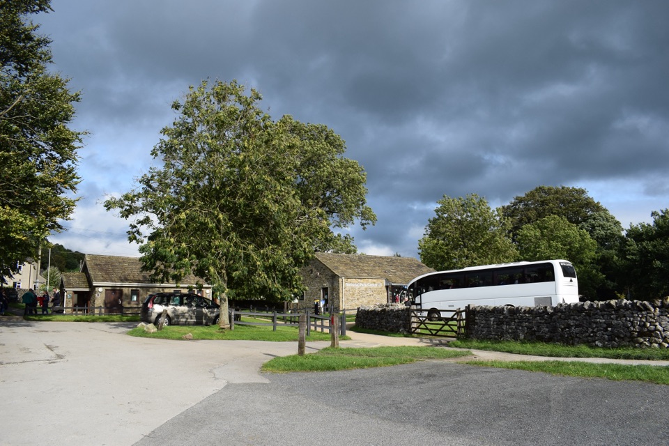
Start at the Yorkshire Dales National Park car park in Kettlewell, BD23 5QZ, where buses and toilets are beside the car park. If driving, leave the car at Grassington National Park Visitor Centre and take the bus to Kettlewell before setting out.


Safety

Working farmland with livestock, one steep early climb above Dowber Gill, and uneven limestone paths; keep dogs on a lead and use a short lead from March to July.

1 active Yorkshire Dales alert

  • ClosureTemporary closures on public rights of wayAvoid the listed sections of public rights of way while their temporary closures or pedestrian prohibition are in force. - Public Bridleway No. 52 (05.Official details
Yorkshire Dales alerts
A park ranger sits on a dash-mounted phone, talking, as Parkwolf’s Tour Guide plays “Army Cutworm Moths: A Grizzly Bear Buffet” on Grand Loop Road below Dunraven Pass in Yellowstone
Parkwolf Tour GuideThe highest, rockiest slopes around here are a summer buffet for grizzly bears.

Yorkshire Dales Tour Guide

Your drive to Kettlewell to Grassington Walk, narrated.

Parkwolf is a GPS audio tour guide for Yorkshire Dales National Park. As you drive, it chimes in with what’s ahead: hidden gems, upcoming stops, history, geology, and wildlife, right through your car’s speakers.

Recorded for this trailhead

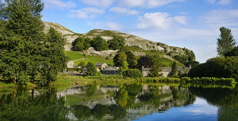
Kettlewell in Wharfedale
0:00 / 0:34
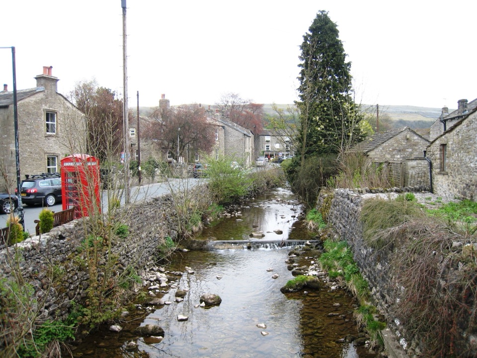
“You're coming up on Kettlewell, a grey-stone village wrapped around a beck in the narrow part of Wharfedale.”

Plays as you drive up to this trailhead in the Parkwolf Yorkshire Dales Tour Guide.

More stories near here in the app

  • The Wheel from Dowber Gill
  • The Valley the Ice Widened
  • The River Missing from the Gorge
  • The Abbey's Wool Depot
  • 298 audio storiesacross Yorkshire Dales’s roads, triggered by GPS as you drive
  • Wildlife heatmapsfor Eurasian Otter, Atlantic Salmon, Short-eared Owl, and 13 more
  • Works offlinemaps, 99 trails, 63 places, and audio download before you lose signal
  • CarPlay readysimple controls built for the drive
★★★★★
“Fantastic app with many points of information… It’s great to just turn on while you’re driving and it gives you an audio tour of the national Park. We love it!!!!”
JMJamesApp Store review
Download Parkwolf on the App StoreGet Parkwolf on Google Play

4.7 from 8,600+ ratings

Trail guide

Hiking Kettlewell to Grassington Walk

The basicsA point-to-point walk, 6.5 miles / 10.3 km one way, from Kettlewell to Grassington.

A point-to-point walk, 6.5 miles / 10.3 km one way, from Kettlewell to Grassington. Allow around 3 hours at an ordinary pace with stops for photos and a breather. This is not a loop, so plan the transport before you set off.

How the bus leg worksMost people do this as the walking return leg: ride the bus from Grassington up the dale to…

Most people do this as the walking return leg: ride the bus from Grassington up the dale to Kettlewell, then walk back down. Buses stop by the Yorkshire Dales National Park car park in Kettlewell, so you step off and start walking within a couple of minutes. Official park information rounds the walking leg to seven miles, which is close enough for planning.

The route, step by stepFrom the car park and village you pick up Middle Lane, The Green, Crookacre Wood and Highgate…

From the car park and village you pick up Middle Lane, The Green, Crookacre Wood and Highgate Leys Lane, then join the Dales Way for the long southward traverse across High Pasture, Swinebar Scar, Conistone Pie, Old Pasture and Lea Green before dropping into Grassington village centre.

Climb and terrainThere is one meaningful climb, early on above Dowber Gill, lifting you from roughly 210 m near…

There is one meaningful climb, early on above Dowber Gill, lifting you from roughly 210 m near Kettlewell to around 330 m on the shelves before an easy descent to about 206 m at Grassington. After that it is mostly steady, low-level walking. Expect:

It is a moderate walk rather than a flat or easy one, and boots with decent grip make a real difference on limestone.

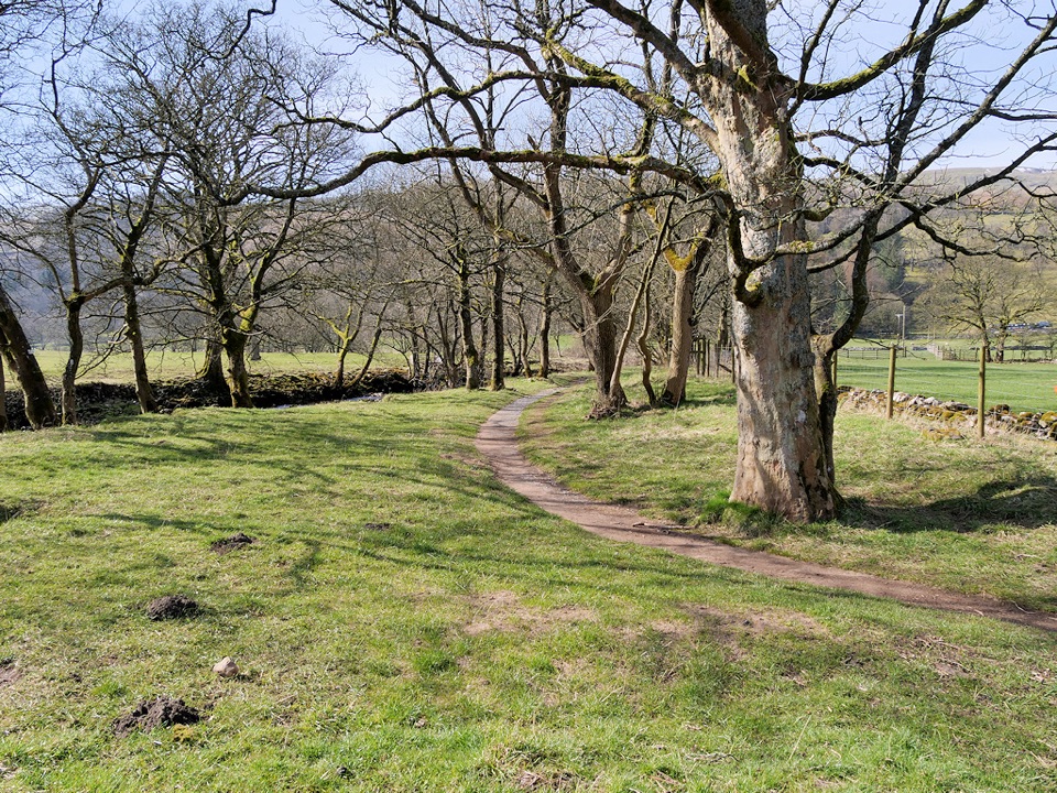
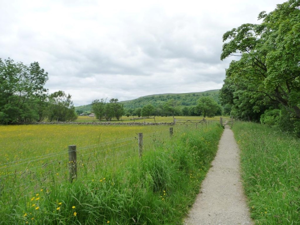
  • Field and pasture paths, plus compacted track, grass and gravel
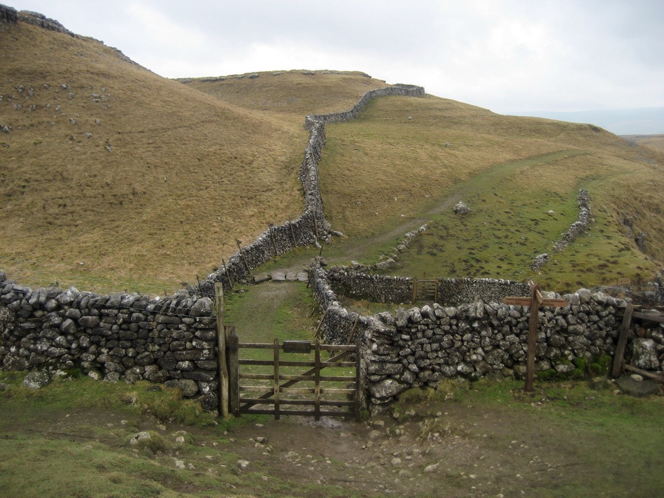
  • Plenty of gates and dry-stone wall crossings
  • Uneven or wet, muddy ground after rain
  • Short road and village sections at each end
Scenery and featuresThis is classic Wharfedale: meadows, ancient field systems, dry-stone walls and open limestone…

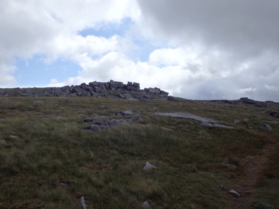
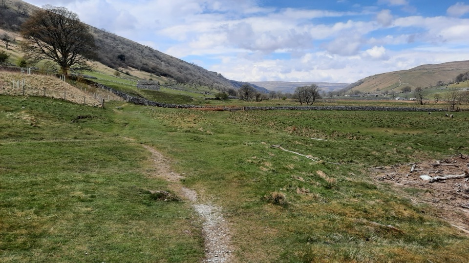
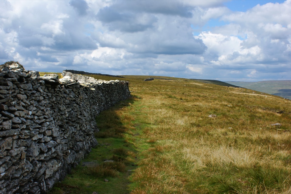
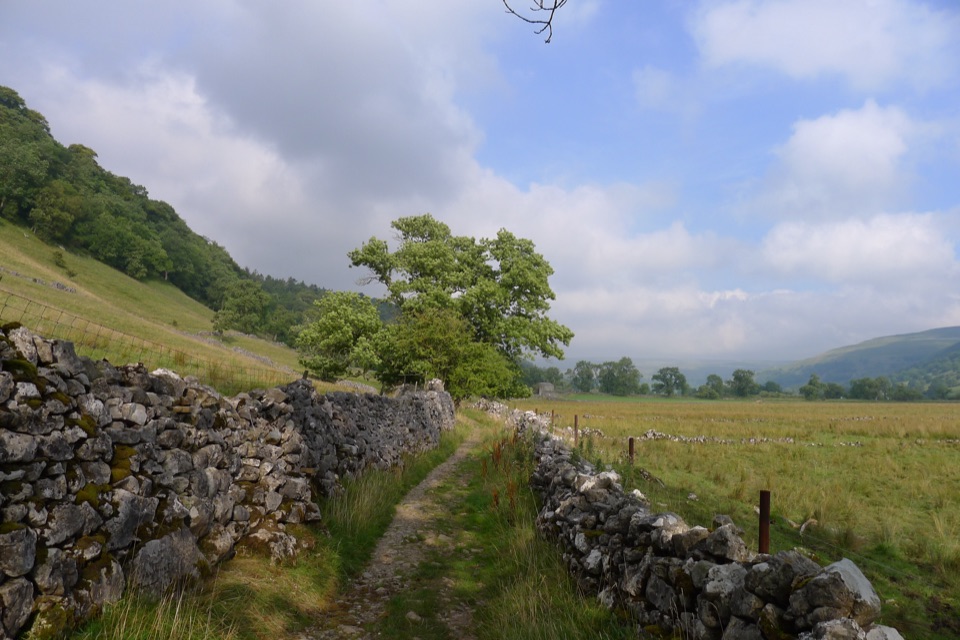
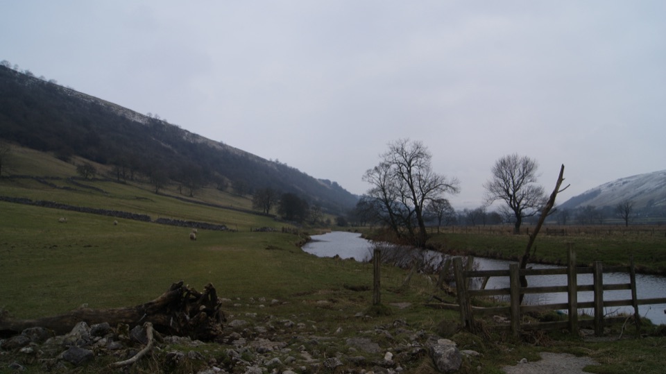
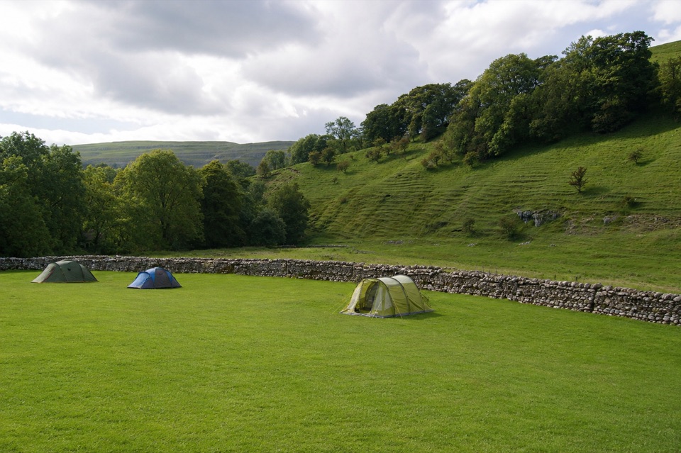
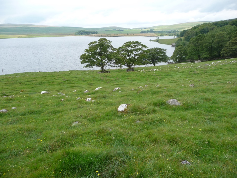
This is classic Wharfedale: meadows, ancient field systems, dry-stone walls and open limestone shelves with fine views across the dale. Highlights include the perched cap of Conistone Pie, the narrow cleft of Conistone Dib, old lime ovens, and the limestone pavement at Lea Green. Keep an eye out for birds such as curlew, lapwing, skylark and oystercatcher over the fields, with a chance of dipper or kingfisher near water. Clear days and softer morning or late-afternoon light suit it best.

DogsDogs are allowed on the public rights of way, but this is working farmland throughout.

Dogs are allowed on the public rights of way, but this is working farmland throughout. Keep them on a lead around livestock, give cattle a wide berth, use a short lead from March to July for ground-nesting birds, and follow any signs on the ground.

Parking and the finishThe start is the Yorkshire Dales National Park car park in Kettlewell, BD23 5QZ, with toilets…

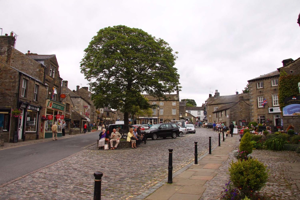
The start is the Yorkshire Dales National Park car park in Kettlewell, BD23 5QZ, with toilets and bus stops right there. You finish in Grassington village centre, with the Grassington National Park Visitor Centre and its car park nearby, plus bus connections. If you leave the car in Grassington, that end is the more practical base.

Wildlife

Wildlife in Yorkshire Dales

All Yorkshire Dales wildlife maps

Sighting maps show where each species has been reported across Yorkshire Dales. Wildlife moves, so no sighting is guaranteed.

Keep exploring

Near Kettlewell to Grassington Walk

See it all on the map

Trails that start nearby

Places near the trailhead

Parkwolf’s Yorkshire Dales ranking

Top-rated trails in Yorkshire Dales

All 99 trails
  1. 1Yorkshire Three Peaks CircularChallenging · 38.6 km
  2. 2Malham Landscape TrailModerate · 7.2 km
  3. 3Ingleton Waterfalls TrailModerate · 6.9 km
  4. 4Pen-y-ghent CircularModerate · 9.7 km
  5. 5Ingleborough from ClaphamChallenging · 16.1 km
  6. 6Whernside CircularChallenging · 12.6 km

Take Parkwolf to Yorkshire Dales.

The audio tour guide for the drive, plus offline maps, trails, and wildlife heatmaps for when the signal drops.

4.7 from 8,600+ ratings

Download Parkwolf on the App StoreGet Parkwolf on Google Play