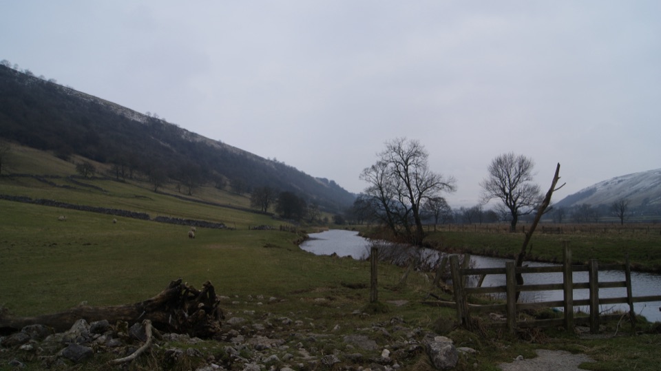
Buckden to Kettlewell Walk in Yorkshire Dales National Park

Yorkshire Dales National Park, EN

Buckden to Kettlewell Walk

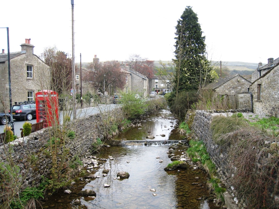
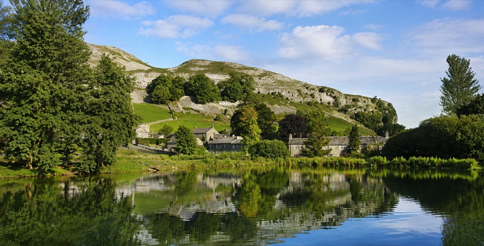
Riverside Dales Way stroll past hay meadows into Kettlewell

Photo: Wikimedia Commons
Length
6.4km
Time
2hr
Elev. change
37m
Difficulty
Easy
  • Dogs allowed
  • High point 246 m

Hear the audio tour

Buckden Pike and the Polish Memorial

Overview

About Buckden to Kettlewell Walk

Why go

  • Riverside Dales Way and hay meadows
  • Mostly level, easy terrain

Heads up

  • One-way logistics need a bus or retracing
  • Wet field paths and livestock

Map & elevation

The route

Loading the Yorkshire Dales map
Full map
Elevation209–246 m
TrailheadYorkshire Dales National Park car park, Buckden54.19197, -2.08964
Keep this map with you offline in the Parkwolf app

Plan your hike

Before you go

Parking

Start at the pay-and-display Yorkshire Dales National Park car park in Buckden, off the B6160. It is not a National Trust car park. Finish in Kettlewell village centre, with a bus or the same route back. Public toilets are available at both ends.


Best time to go

Dogs are welcome but must be kept on leads and under control around livestock. Seasonal restrictions can apply during lambing and from March through July for ground-nesting birds, so check before you go if you are bringing a dog.

Safety

Livestock, wet or uneven field ground, gates and the short road walk into Kettlewell require care. Keep dogs on leads and under close control. Seasonal restrictions can apply during lambing and from March through July for ground-nesting birds.

1 active Yorkshire Dales alert

  • ClosureTemporary closures on public rights of wayAvoid the listed sections of public rights of way while their temporary closures or pedestrian prohibition are in force. - Public Bridleway No. 52 (05.Official details
Yorkshire Dales alerts
A park ranger sits on a dash-mounted phone, talking, as Parkwolf’s Tour Guide plays “Army Cutworm Moths: A Grizzly Bear Buffet” on Grand Loop Road below Dunraven Pass in Yellowstone
Parkwolf Tour GuideThe highest, rockiest slopes around here are a summer buffet for grizzly bears.

Yorkshire Dales Tour Guide

Your drive to Buckden to Kettlewell Walk, narrated.

Parkwolf is a GPS audio tour guide for Yorkshire Dales National Park. As you drive, it chimes in with what’s ahead: hidden gems, upcoming stops, history, geology, and wildlife, right through your car’s speakers.

Recorded for this trailhead

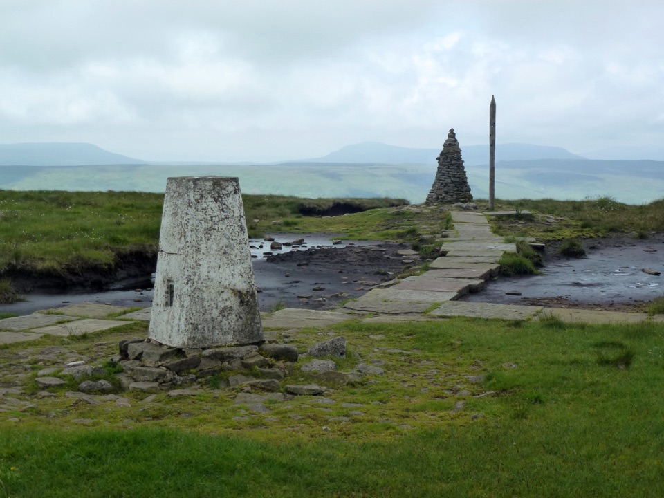
Buckden Pike and the Polish Memorial
0:00 / 0:27
“You're approaching Buckden, starting point for the Buckden Pike circuit. Its eight miles take roughly four to four and a half hours, with a long climb to broad Wharfedale views and exposed, sometimes boggy moorland.”

Plays as you drive up to this trailhead in the Parkwolf Yorkshire Dales Tour Guide.

More stories near here in the app

  • The Mice in the Pews
  • The Flood That Left Its Stones
  • Sea Lilies at Cray Gill
  • Yockenthwaite and Langstrothdale
  • 298 audio storiesacross Yorkshire Dales’s roads, triggered by GPS as you drive
  • Wildlife heatmapsfor Eurasian Otter, Atlantic Salmon, Short-eared Owl, and 13 more
  • Works offlinemaps, 99 trails, 63 places, and audio download before you lose signal
  • CarPlay readysimple controls built for the drive
★★★★★
“Fantastic app with many points of information… It’s great to just turn on while you’re driving and it gives you an audio tour of the national Park. We love it!!!!”
JMJamesApp Store review
Download Parkwolf on the App StoreGet Parkwolf on Google Play

4.7 from 8,600+ ratings

Trail guide

Hiking Buckden to Kettlewell Walk

The basicsA 4 mile / 6.

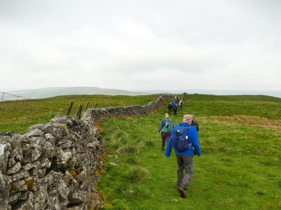
A 4 mile / 6.4 km one-way linear walk from Buckden down Upper Wharfedale to Kettlewell, rated easy and mostly flat and level on footpaths beside the River Wharfe. Allow 1 to 2 hours, closer to two if you stop for photos or a drink.

It is not a loop. To get back to Buckden you either retrace the same route (making it a full day of around 8 miles) or catch the bus up the dale. Worth sorting your return before you set off.

How the route goesCross from the Buckden car park over the road and the village green.
  • Cross from the Buckden car park over the road and the village green.
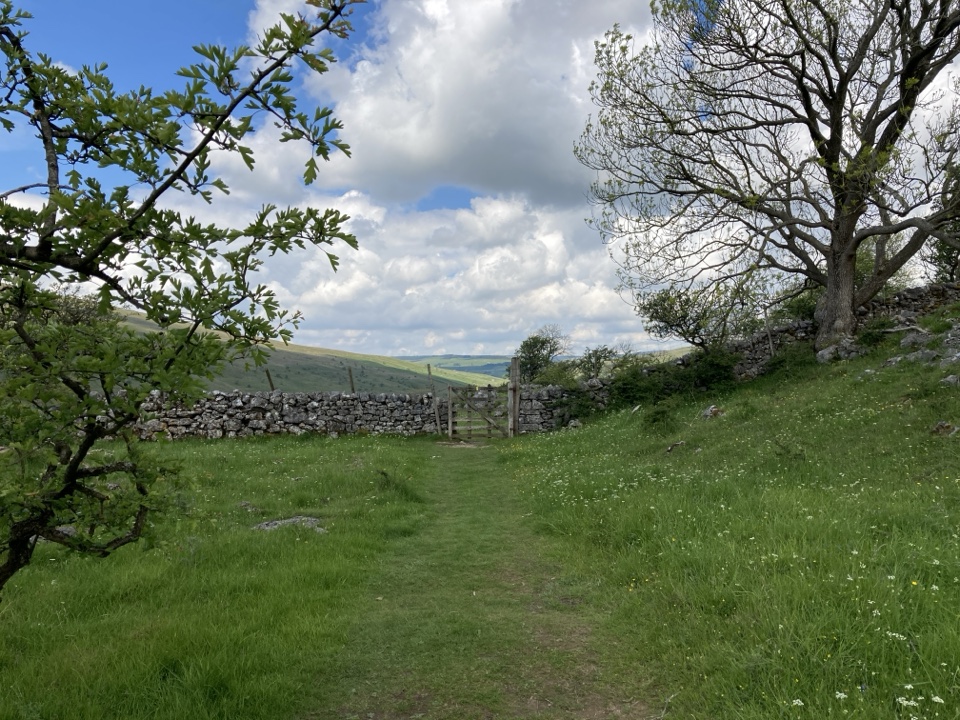
  • Cross the bridge and go through a gate onto the Dales Way.
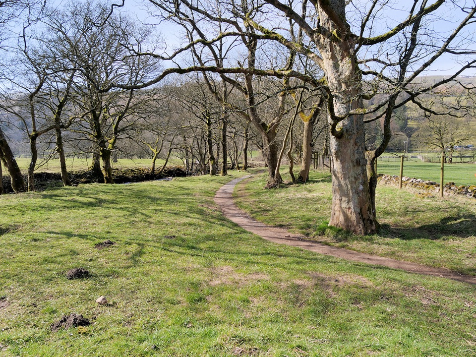
  • Follow the River Wharfe through fields with the river on your left.
  • Join a farm track past an old barn, then turn at a fork and keep heading south through fields.
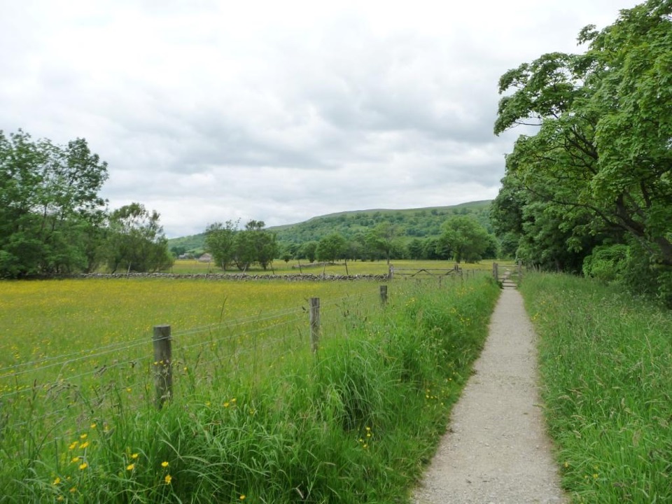
  • Pass opposite Starbotton, then on through hay meadows.
  • A slight climb brings you to a gate and the main road, with a short road walk into Kettlewell village centre.
Footing and difficultyLow-level and gentle, with no real climbing, but it is still a field-path walk.

Low-level and gentle, with no real climbing, but it is still a field-path walk. Expect wet or uneven ground after rain, plenty of gates, and livestock in the fields. Boots or sturdy shoes beat trainers. The finish along the road into Kettlewell is brief but keep an eye out for traffic.

Scenery, wildlife and plantsClassic dale-bottom walking: the river close at hand, historic dry-stone walls and working hay…

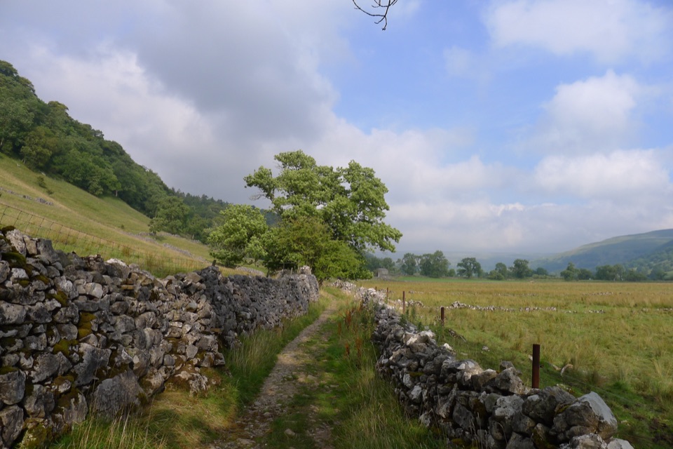
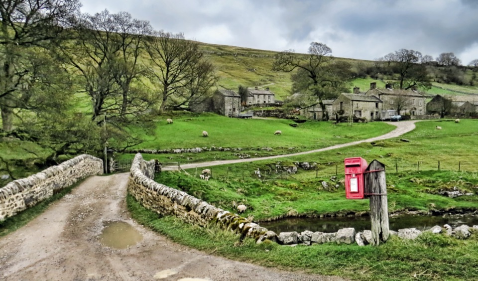
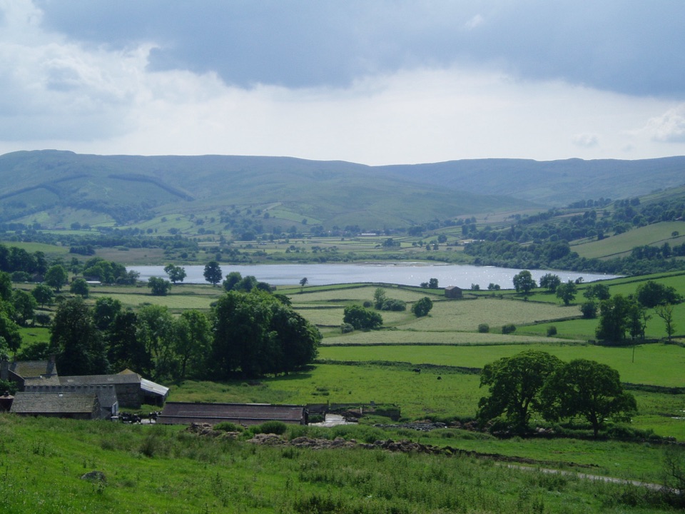
Classic dale-bottom walking: the river close at hand, historic dry-stone walls and working hay meadows. Look for kingfishers, oystercatchers, dippers and brown trout in the clear water. In the meadows, keep an eye out for eyebright, yellow rattle and meadow cranesbill.

Parking and facilitiesStart from the pay-and-display Yorkshire Dales National Park car park in Buckden (not a…
  • Start from the pay-and-display Yorkshire Dales National Park car park in Buckden (not a National Trust car park, so member parking does not apply).
  • Public toilets at both Buckden and Kettlewell.
  • Pubs and cafes in both villages, which makes Kettlewell a good place to finish.
The catch, and an alternativeThe main drawback is the logistics: it is a one-way route, so you are committed to a bus or a…

The main drawback is the logistics: it is a one-way route, so you are committed to a bus or a there-and-back day. If you would rather walk a circuit from the same village, the Buckden to Starbotton hillside and river walk is a separate 5 mile circular route, which brings you back to your car without needing transport.

Wildlife

Wildlife in Yorkshire Dales

All Yorkshire Dales wildlife maps

Sighting maps show where each species has been reported across Yorkshire Dales. Wildlife moves, so no sighting is guaranteed.

Keep exploring

Near Buckden to Kettlewell Walk

See it all on the map

Trails that start nearby

Places near the trailhead

Parkwolf’s Yorkshire Dales ranking

Top-rated trails in Yorkshire Dales

All 99 trails
  1. 1Yorkshire Three Peaks CircularChallenging · 38.6 km
  2. 2Malham Landscape TrailModerate · 7.2 km
  3. 3Ingleton Waterfalls TrailModerate · 6.9 km
  4. 4Pen-y-ghent CircularModerate · 9.7 km
  5. 5Ingleborough from ClaphamChallenging · 16.1 km
  6. 6Whernside CircularChallenging · 12.6 km

Take Parkwolf to Yorkshire Dales.

The audio tour guide for the drive, plus offline maps, trails, and wildlife heatmaps for when the signal drops.

4.7 from 8,600+ ratings

Download Parkwolf on the App StoreGet Parkwolf on Google Play