1 active Yorkshire Dales alert
- ClosureTemporary closures on public rights of wayAvoid the listed sections of public rights of way while their temporary closures or pedestrian prohibition are in force. - Public Bridleway No. 52 (05.Official details
Sight · Yorkshire Dales National Park
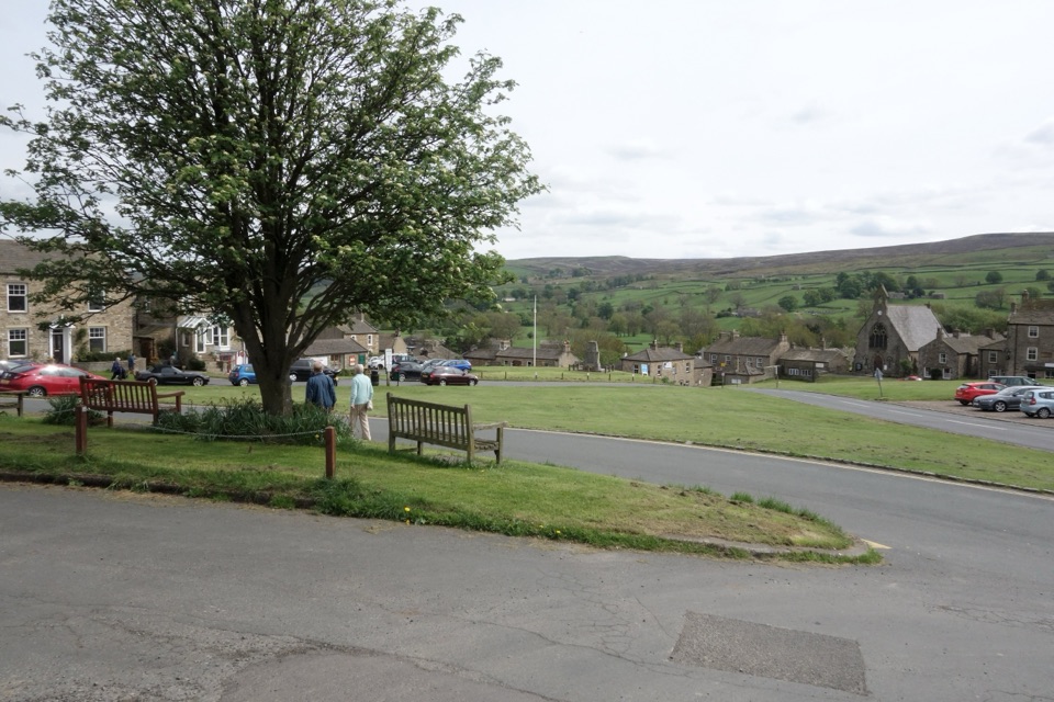
A stone-built Swaledale village around a big green, ringed by moors
Overview
Map
Plan your stop

The highest, rockiest slopes around here are a summer buffet for grizzly bears.
Yorkshire Dales Tour Guide
Parkwolf is a GPS audio tour guide for Yorkshire Dales National Park. As you drive, it chimes in with what’s ahead: hidden gems, upcoming stops, history, geology, and wildlife, right through your car’s speakers.
Recorded for this place
Reeth Village Green“You're coming up on Reeth, a village gathered around a broad green above the River Swale.”
Plays as you drive up to Reeth in the Parkwolf Yorkshire Dales Tour Guide.
More stories near here in the app
“Fantastic app with many points of information… It’s great to just turn on while you’re driving and it gives you an audio tour of the national Park. We love it!!!!”


Guide
This is a village to settle into rather than a single sight to tick off. It sits on a plateau above the River Swale, built around a large central green framed by stone and whitewashed inns, shops and tea rooms, with hills and moorland rising beyond. Come for the setting, the walking and the slow pace, and use the village as a base for exploring Swaledale and Arkengarthdale.
Hay meadows are at their best in early summer, when the walled fields around the village fill with flowers. Look for Swaledale sheep in the fields and on the moors. On the moors listen for red grouse, curlew, lapwing, golden plover, skylark and meadow pipit, and along the Old Gang route you may see or hear buzzard and raven.
Reeth grew through the 18th and 19th centuries as a service centre for the lead-mining industry, helped by its position at the junction of the Swaledale and Arkengarthdale roads. Grinton was the older centre of the valley, reached by corpse ways from further up the dale. Mining remains survive at Old Gang and around Grinton, and they make good targets for a walk.
Aim for the large village green in the middle of the village, with Hudson House at its upper edge; it is the natural starting point for exploring the village.
Wildlife
 10 sightingsEurasian OtterMost seen around 7 PMSighting map
 11 sightingsAtlantic SalmonMost seen around 7 AMSighting map
 12 sightingsShort-eared OwlMost seen around 7 PMSighting map
 22 sightingsWestern Barn OwlMost seen around 6 AMSighting map
 27 sightingsTawny OwlMost seen around 7 PMSighting map
 34 sightingsCommon KingfisherMost seen around 7 AMSighting map
Sighting maps show where each species has been reported across Yorkshire Dales. Wildlife moves, so no sighting is guaranteed.
Keep exploring
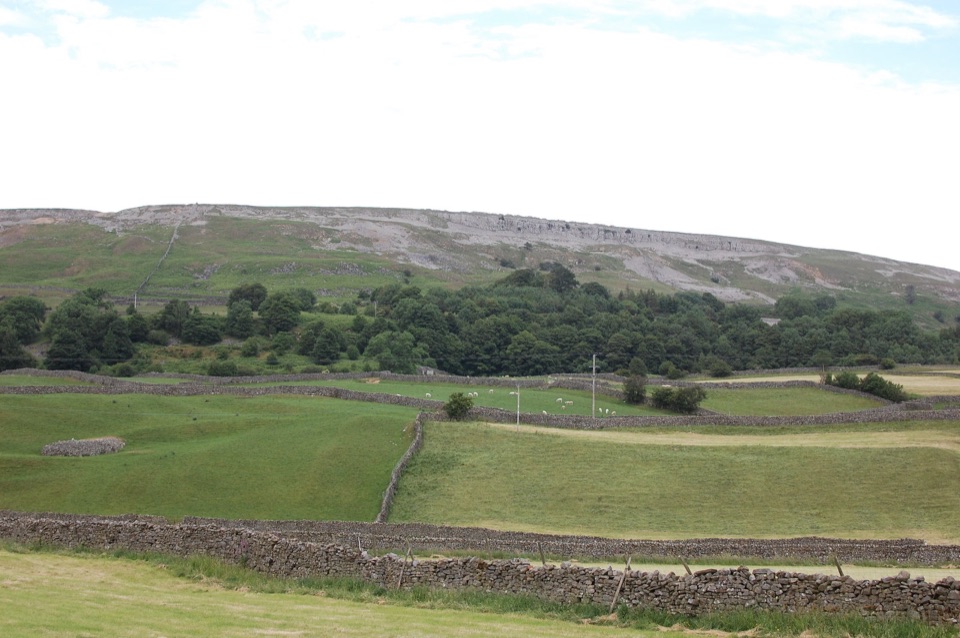 ModerateReeth Low Common4 km · 1.5 hr · At the trailheadField paths, a steep rocky lane and big views over the dale
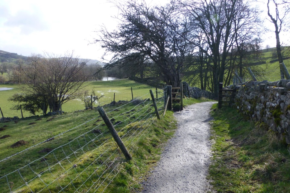 ModerateSwale Trail21.4 km · 3 hr · 0.1 km awayStone tracks and quiet lanes from Reeth up Swaledale to Keld
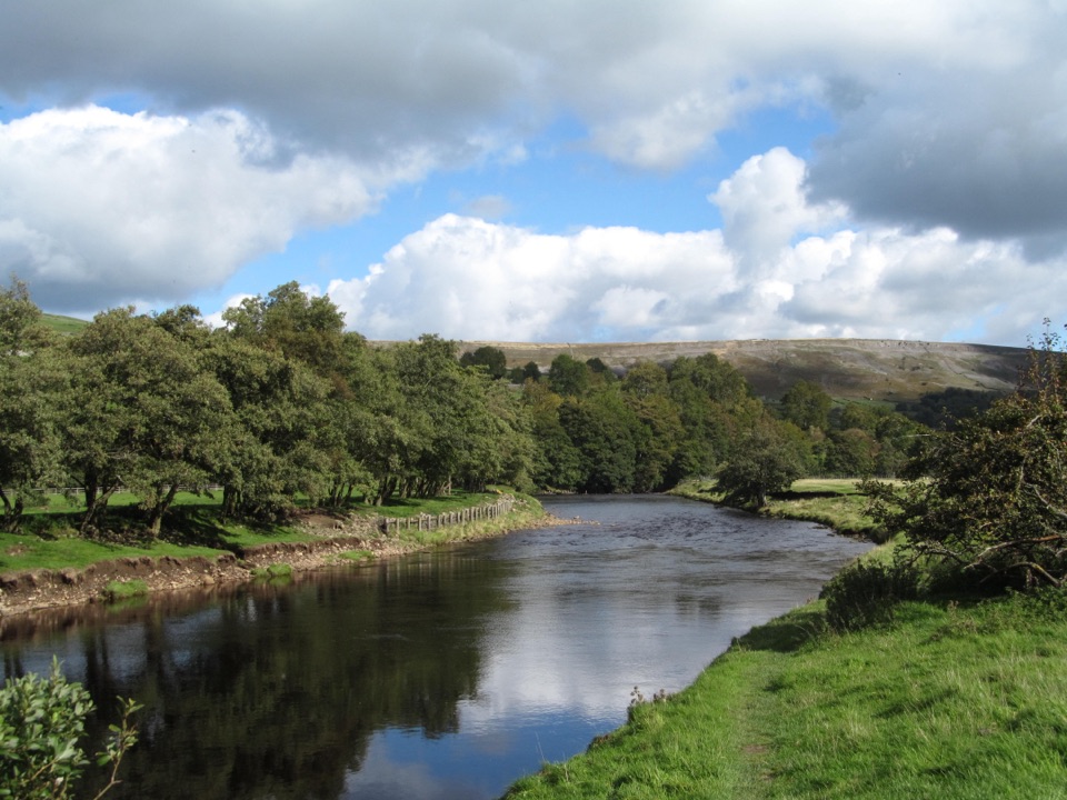 EasyReeth and Healaugh Circular4.5 km · 1.3 hr · 0.1 km awayVillage lanes and field paths to Healaugh, with a riverside return
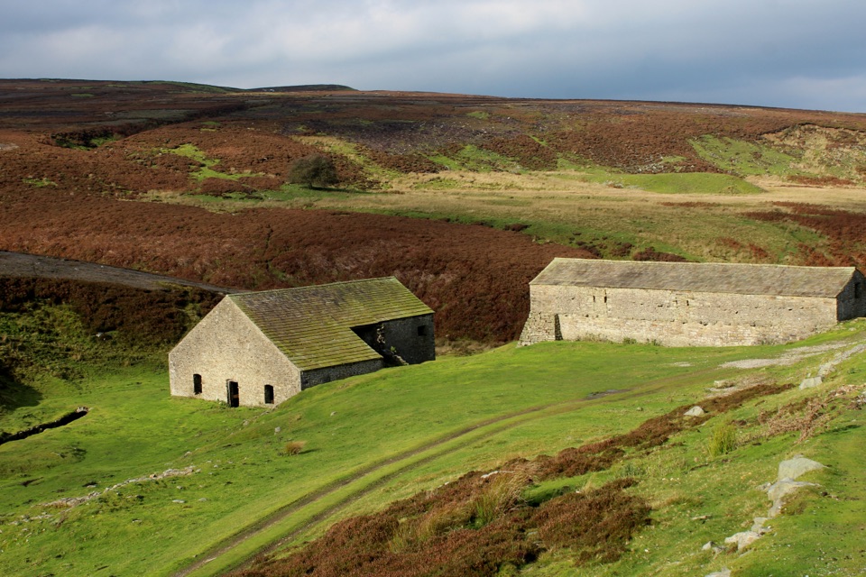 EasyGrinton Smelt Mill Accessible Walk1.5 km · 45 min · 2.7 km awayShort aggregate track beside Cogden Gill to a roofed lead smelt mill
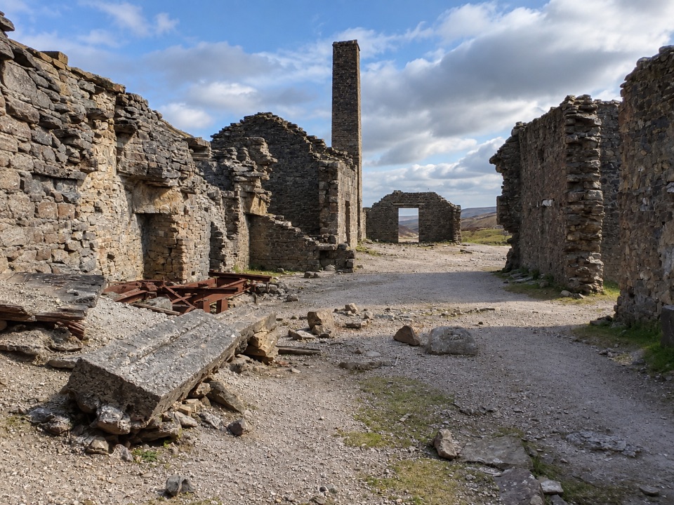 EasyOld Gang Smelt Mill Route6 km · 2 hr · 5 km awayWide beckside track to a ruined lead smelt mill, 6 km return
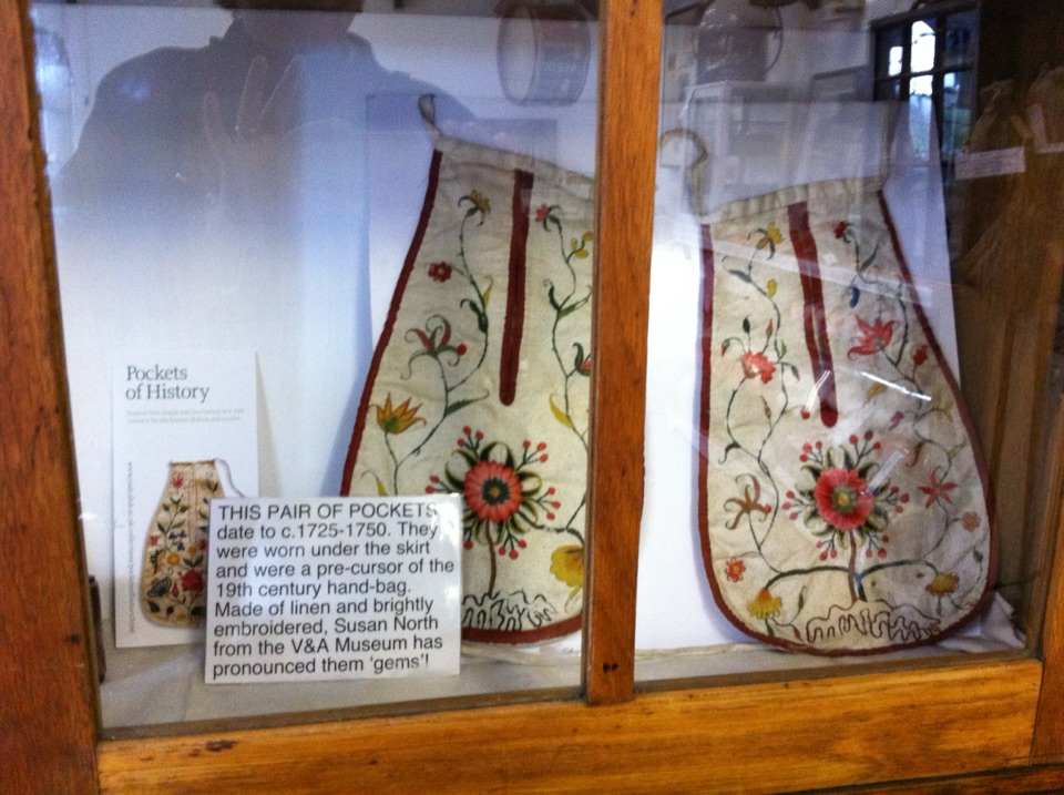 Sight · 0.1 km awaySwaledale MuseumLead-mining tools, hand-sewn pockets and dale voices in one old schoolroom
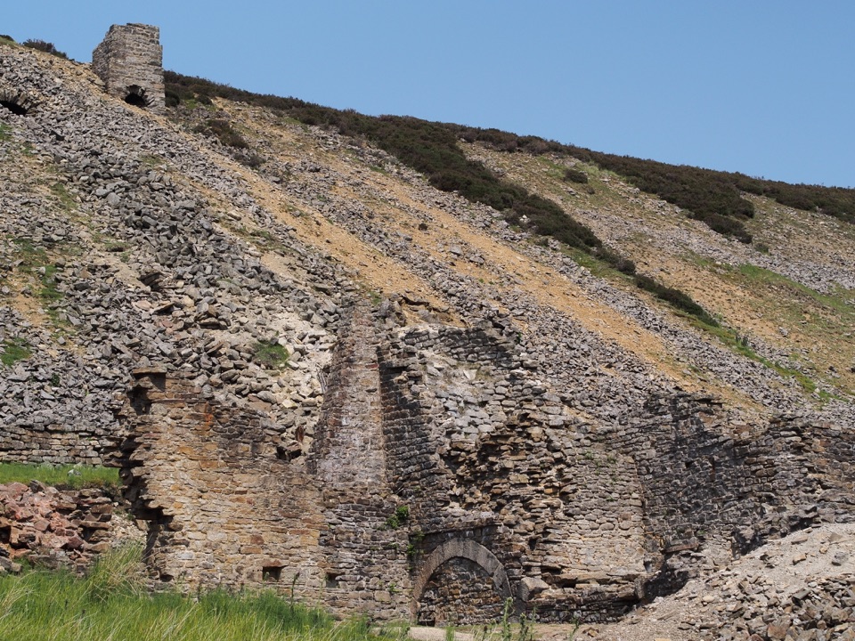 Sight · 6.5 km awayOld Gang Smelting MillRuined lead smelt mill and chimney on a moorland beck in Swaledale
 Sight · 7.5 km awayBolton CastleMary Queen of Scots was held behind these walls above Wensleydale
Parkwolf’s Yorkshire Dales ranking

The audio tour guide for the drive, plus offline maps, trails, and wildlife heatmaps for when the signal drops.




