Parking
Small informal lay-by just after the tight bend on the Grinton-to-Leyburn road, reached by turning from the B6270 at Grinton toward Leyburn. Nearest public toilets are in Reeth.
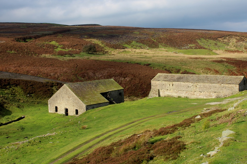
Yorkshire Dales National Park, EN
Short aggregate track beside Cogden Gill to a roofed lead smelt mill
Overview
An out-and-back of about 0.9 miles (1.5 km) total, based on the official figure of 0.75 km each way, with roughly 0.75 hours of walking for most visitors. Difficulty is 3/10: easy overall, with short steep pitches and uneven ground. This is a compact heritage walk to an industrial site, not a long fell hike.
Map & elevation
Plan your hike

The highest, rockiest slopes around here are a summer buffet for grizzly bears.
Yorkshire Dales Tour Guide
Parkwolf is a GPS audio tour guide for Yorkshire Dales National Park. As you drive, it chimes in with what’s ahead: hidden gems, upcoming stops, history, geology, and wildlife, right through your car’s speakers.
Recorded for this area
The Flock Lost at Cogden Hall“In 1883, the farm at Cogden Hall near here brought a flock down from the moors to riverside pasture. Two days later, a flood swept away more than two hundred ewes.”
Plays on the road 0.6 km from the trailhead in the Parkwolf Yorkshire Dales Tour Guide.
More stories near here in the app
“Fantastic app with many points of information… It’s great to just turn on while you’re driving and it gives you an audio tour of the national Park. We love it!!!!”


Trail guide
Start from the small lay-by just after the tight right-hand bend on the road running from Grinton toward Leyburn. The track leads gently along Cogden Gill, with open moorland on either side, and arrives at the smelt mill in well under a mile. Return the same way.
Grinton Smelt Mill, also known as How or Low Mill, is one of 87 recorded lead-smelt-mill sites in the Dales and the best preserved locally. It is a scheduled monument, still roofed, with some timber fittings in place. The leat and the gill beside it make the water-powered working of the site easy to picture, and information boards help explain what you are looking at.
The main track is compact aggregate and grass, generally around 2 m wide, with gradients reaching 1:8. Surfaces are firm but uneven in places, so watch your footing and expect a little effort on the rises.
A small loop can be added at the far end. It includes a shallow water crossing and a short 60 m section at 1:6. Skipping it and simply returning along the track keeps the walk shorter and easier.
Parking is at an informal small lay-by at the obvious bend, reached by turning off the B6270 at Grinton toward Leyburn. Space is limited. There are no toilets at the trailhead; the nearest public and RADAR toilets are in Reeth.
The route is classified as "For some" rather than universally wheelchair suitable. The mill remains can be reached by wheelchair, and an all-terrain chair should manage the track, but the uneven aggregate and the short 1:6 pitch on the optional loop can make pushing hard work.
Dogs are welcome on this public access route. Keep them under close control, on a lead around livestock, and on a short lead from March through July to protect ground-nesting birds.
Wildlife
 10 sightingsEurasian OtterMost seen around 7 PMSighting map
 11 sightingsAtlantic SalmonMost seen around 7 AMSighting map
 12 sightingsShort-eared OwlMost seen around 7 PMSighting map
 22 sightingsWestern Barn OwlMost seen around 6 AMSighting map
 27 sightingsTawny OwlMost seen around 7 PMSighting map
 34 sightingsCommon KingfisherMost seen around 7 AMSighting map
Sighting maps show where each species has been reported across Yorkshire Dales. Wildlife moves, so no sighting is guaranteed.
Keep exploring
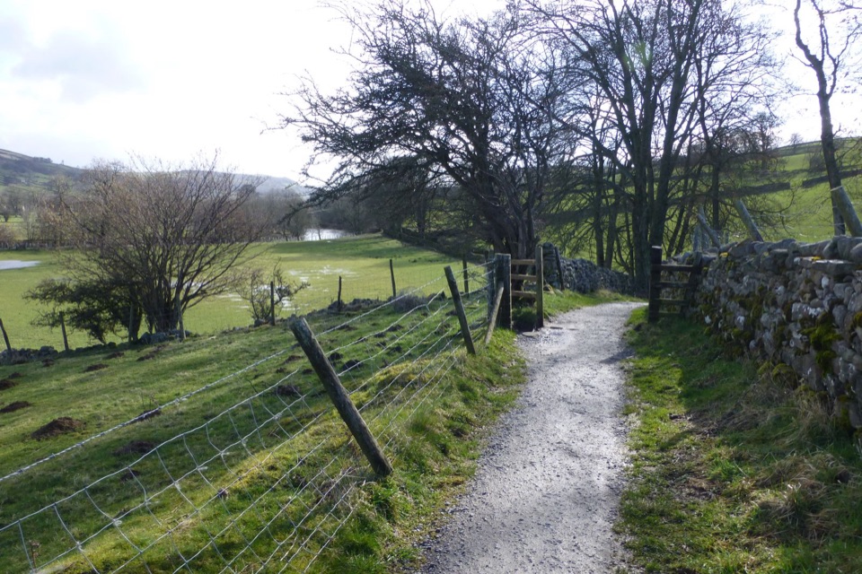 ModerateSwale Trail21.4 km · 3 hr · 2.6 km awayStone tracks and quiet lanes from Reeth up Swaledale to Keld
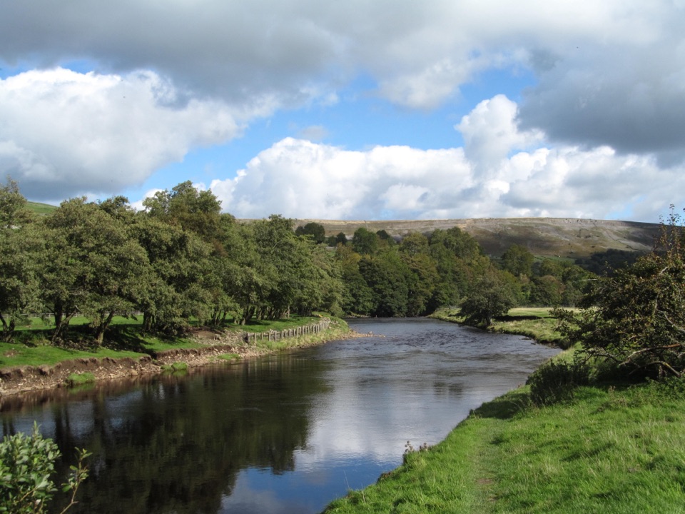 EasyReeth and Healaugh Circular4.5 km · 1.3 hr · 2.7 km awayVillage lanes and field paths to Healaugh, with a riverside return
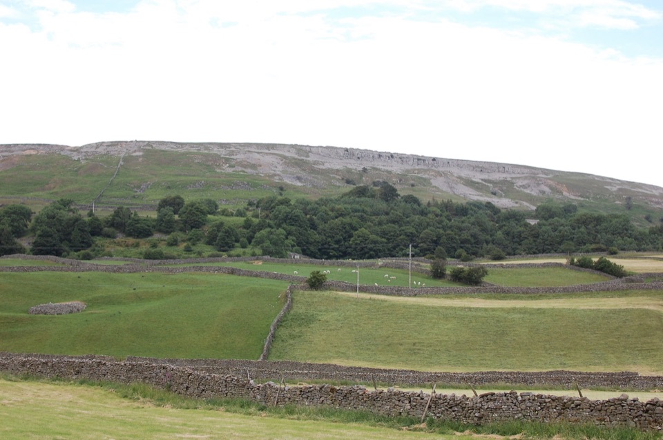 ModerateReeth Low Common4 km · 1.5 hr · 2.8 km awayField paths, a steep rocky lane and big views over the dale
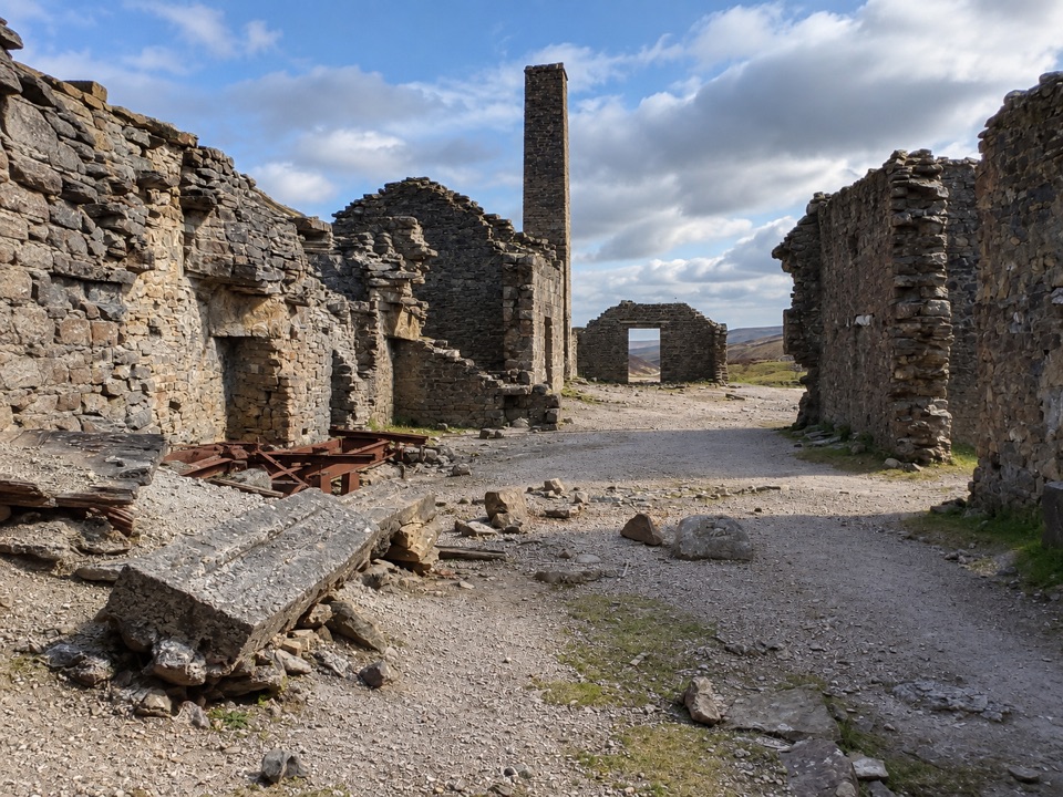 EasyOld Gang Smelt Mill Route6 km · 2 hr · 6.7 km awayWide beckside track to a ruined lead smelt mill, 6 km return
 ModeratePenhill Preceptory and Crags Loop12.8 km · 4 hr · 8.5 km awayClimb past Templar ruins to airy Penhill crags and Wensleydale views
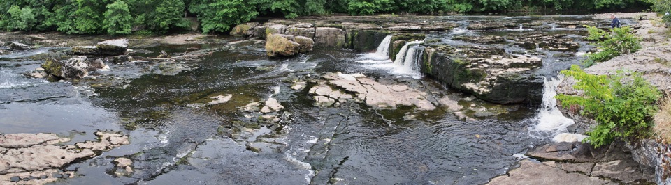 EasyAysgarth Woods and Waterfalls4.2 km · 1.3 hr · 8.8 km awayWoodland paths and open fields loop back past three thundering Ure falls
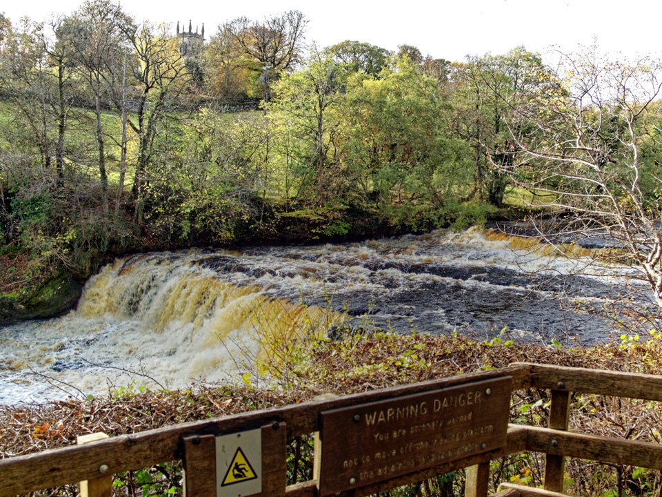 EasyAysgarth Falls Accessible Walk3 km · 1.5 hr · 8.8 km awayFirm woodland path to a Middle Falls viewing platform, then back
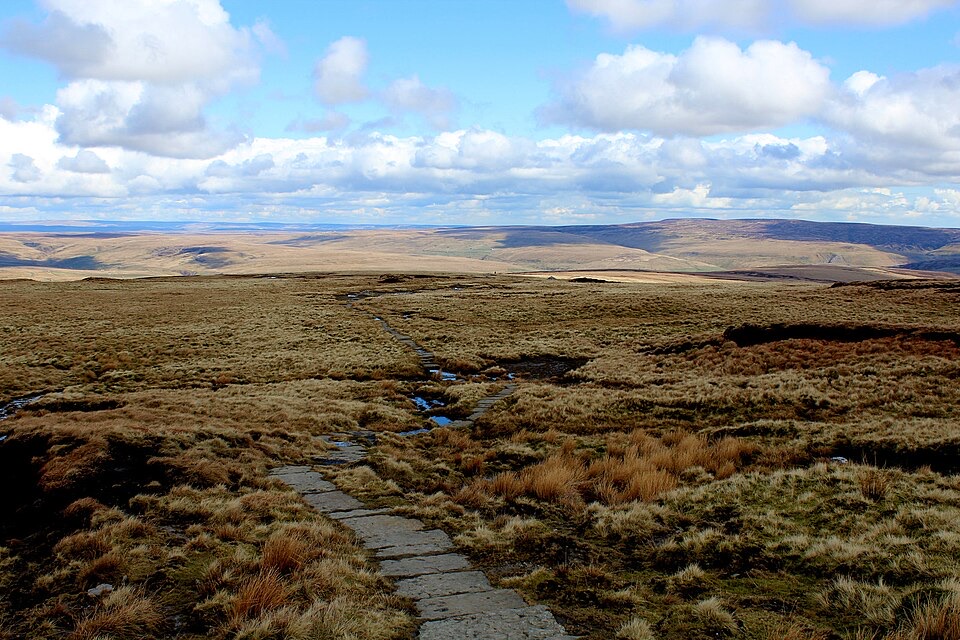 ChallengingHerriot Way83.7 km · 1.2 days · 9.4 km awayFour moorland days linking waterfalls, high fells and lead-mining ruins
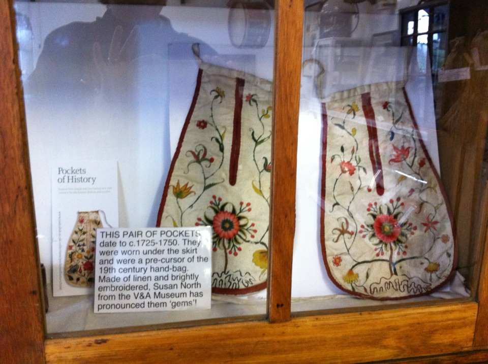 Sight · 2.6 km awaySwaledale MuseumLead-mining tools, hand-sewn pockets and dale voices in one old schoolroom
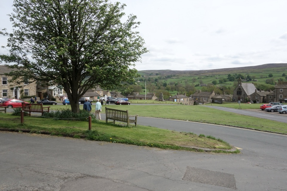 Sight · 2.7 km awayReethA stone-built Swaledale village around a big green, ringed by moors
 Sight · 5.2 km awayBolton CastleMary Queen of Scots was held behind these walls above Wensleydale
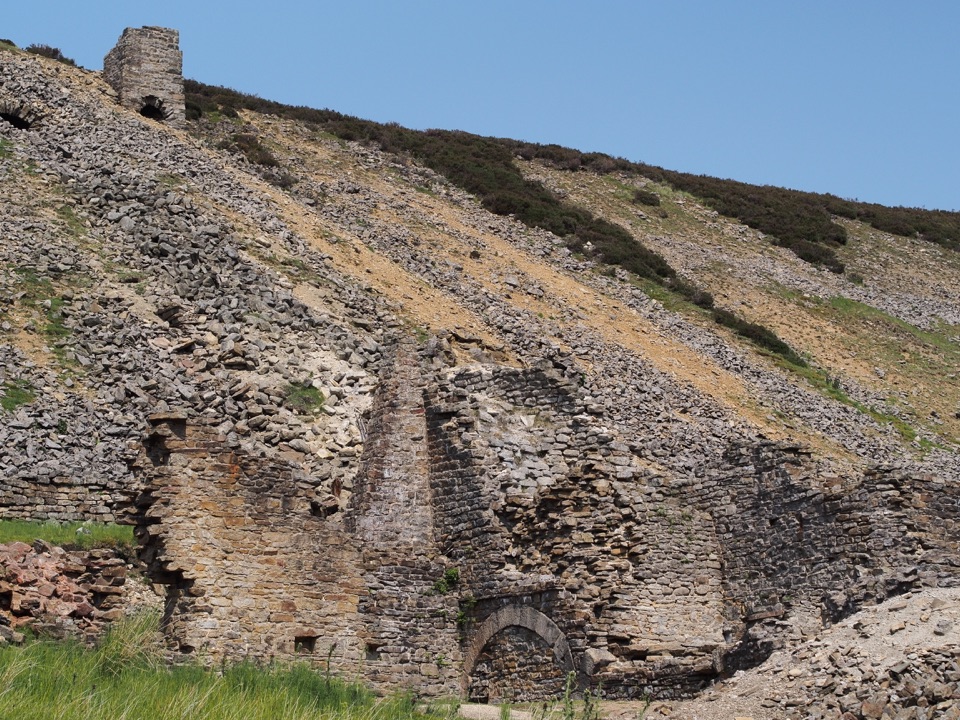 Sight · 8.4 km awayOld Gang Smelting MillRuined lead smelt mill and chimney on a moorland beck in Swaledale
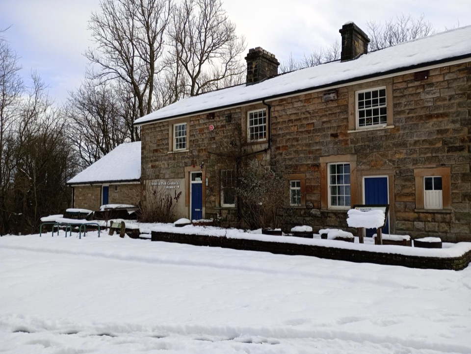 Visitor center · 8.9 km awayAysgarth Falls National Park CentreMaps, cafe and an all-terrain wheelchair minutes from the falls
 Sight · 8.9 km awayAysgarth FallsThree stepped cascades on the Ure, thunderous after heavy rain
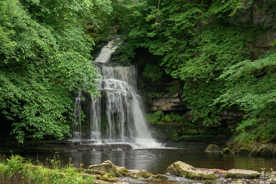 Sight · 10.5 km awayCauldron FallsTurner painted this shady plunge pool minutes from the green
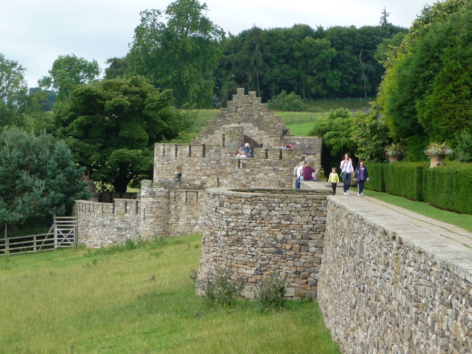 Sight · 11.1 km awayThe Forbidden CornerFour-acre labyrinth of tunnels, follies and watery surprises
Parkwolf’s Yorkshire Dales ranking

The audio tour guide for the drive, plus offline maps, trails, and wildlife heatmaps for when the signal drops.





