Parking
Start at Reeth Village Centre on the cobbles beside the village green. Reeth has toilets, shops, pubs and cafes; bus 30 runs from Richmond.
Yorkshire Dales National Park, EN
Field paths, a steep rocky lane and big views over the dale
Overview
Map & elevation
Plan your hike

The highest, rockiest slopes around here are a summer buffet for grizzly bears.
Yorkshire Dales Tour Guide
Parkwolf is a GPS audio tour guide for Yorkshire Dales National Park. As you drive, it chimes in with what’s ahead: hidden gems, upcoming stops, history, geology, and wildlife, right through your car’s speakers.
Recorded for this trailhead
Reeth Village Green“You're coming up on Reeth, a village gathered around a broad green above the River Swale.”
Plays as you drive up to this trailhead in the Parkwolf Yorkshire Dales Tour Guide.
More stories near here in the app
“Fantastic app with many points of information… It’s great to just turn on while you’re driving and it gives you an audio tour of the national Park. We love it!!!!”


Trail guide
A 4 km (2.5 mile) circular walk straight from Reeth village green, with a short shared stretch of road down to Reeth Bridge and back at the end. Allow about 1.5 hours, and treat it as a practical 4/10: it is low level, but not a stroll.
The walled lane is the crux: rocky, steep and often greasy, with mud, slippery rock and exposed tree roots. The meadow return brings a series of narrow stiles and gates, which is slow going with dogs, small children, or anyone who dislikes squeezing through stonework. Boots, not trainers.
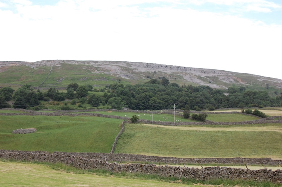
Broad views over Reeth and the dale, dry-stone walls and field barns, the bulk of Fremington Edge, and the open sweep of Low Common. Look for traces of an old stone-paved lead-mining way underfoot on the higher ground, and old quarry workings visible from the meadows. In August the moorland tops turn purple with heather, which is the best single reason to time a visit.
Park at Reeth Village Centre on the cobbles, which is also the start. Reeth has toilets, shops, pubs and cafes, and Reeth National Park Centre sits in Hudson House. Bus 30 runs from Richmond if you would rather not drive.
Dogs are welcome on the public rights of way here. Keep yours on a lead around livestock, and on a short lead from March through July for ground-nesting birds. There is livestock in the fields and on the common, so plan for lead work most of the way.
Want the same low-level length without the steep rocky lane and the stile-heavy finish? The separate Reeth and Healaugh circular is the gentler, more riverside-focused choice.
Wildlife
 10 sightingsEurasian OtterMost seen around 7 PMSighting map
 11 sightingsAtlantic SalmonMost seen around 7 AMSighting map
 12 sightingsShort-eared OwlMost seen around 7 PMSighting map
 22 sightingsWestern Barn OwlMost seen around 6 AMSighting map
 27 sightingsTawny OwlMost seen around 7 PMSighting map
 34 sightingsCommon KingfisherMost seen around 7 AMSighting map
Sighting maps show where each species has been reported across Yorkshire Dales. Wildlife moves, so no sighting is guaranteed.
Keep exploring
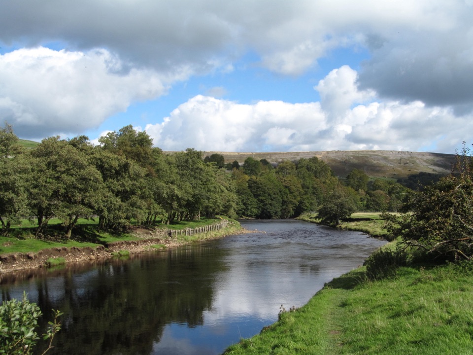 EasyReeth and Healaugh Circular4.5 km · 1.3 hr · 0.1 km awayVillage lanes and field paths to Healaugh, with a riverside return
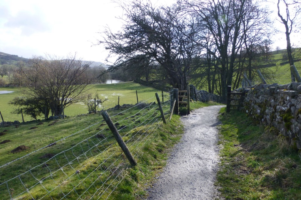 ModerateSwale Trail21.4 km · 3 hr · 0.2 km awayStone tracks and quiet lanes from Reeth up Swaledale to Keld
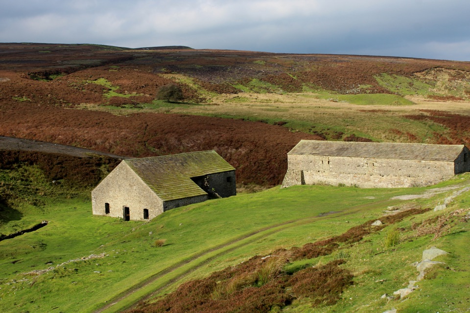 EasyGrinton Smelt Mill Accessible Walk1.5 km · 45 min · 2.8 km awayShort aggregate track beside Cogden Gill to a roofed lead smelt mill
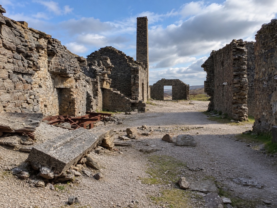 EasyOld Gang Smelt Mill Route6 km · 2 hr · 4.9 km awayWide beckside track to a ruined lead smelt mill, 6 km return
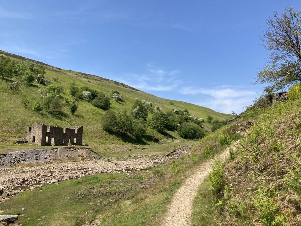 ModerateGunnerside Gill Circular8 km · 3 hr · 8.8 km awayLead-mining ruins deep in a steep gill, with an airy return track
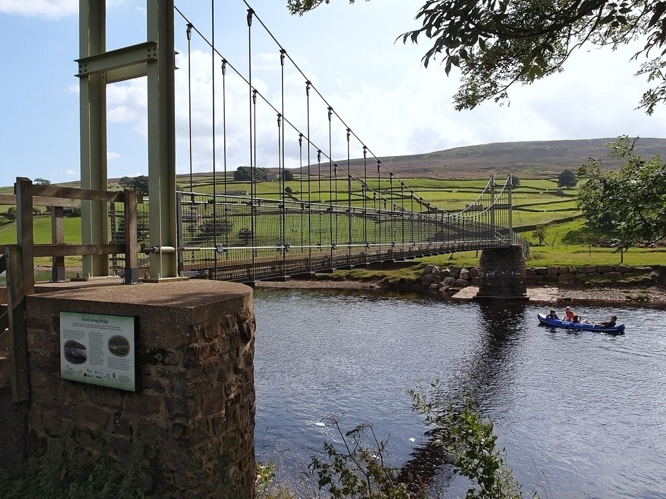 ModerateLow Level Swaledale Walk11.1 km · 2.8 hr · 8.8 km awayRiverside meadows and stone walls from Gunnerside to Reeth Swing Bridge
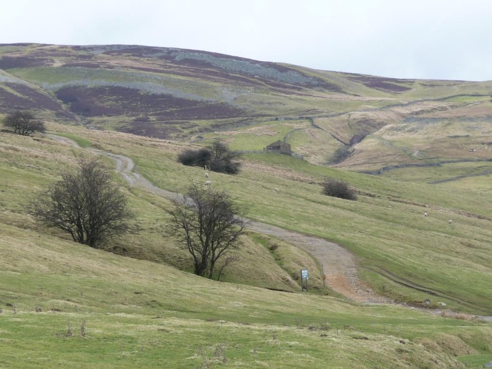 ModerateIvelet Moor Accessible Walk11 km · 3.8 hr · 9.8 km awayEleven kilometres of surfaced moorland track with broad Swaledale views
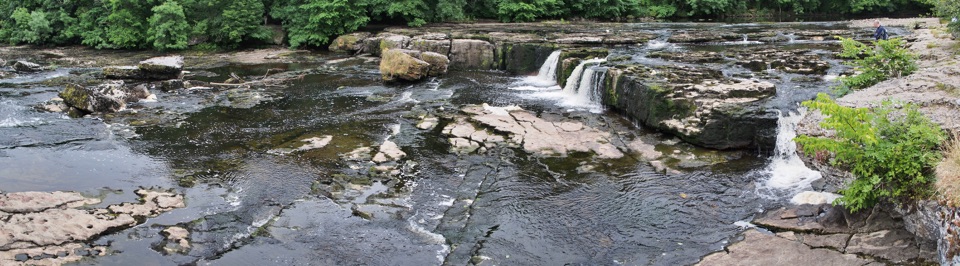 EasyAysgarth Woods and Waterfalls4.2 km · 1.3 hr · 10.8 km awayWoodland paths and open fields loop back past three thundering Ure falls
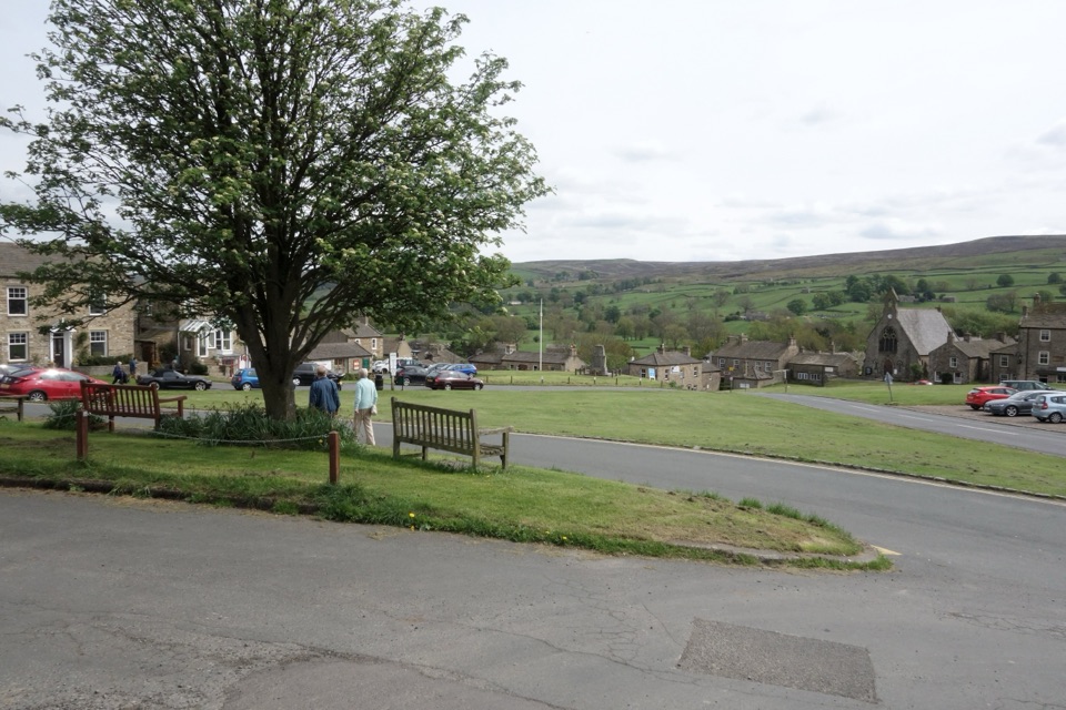 Sight · At the trailheadReethA stone-built Swaledale village around a big green, ringed by moors
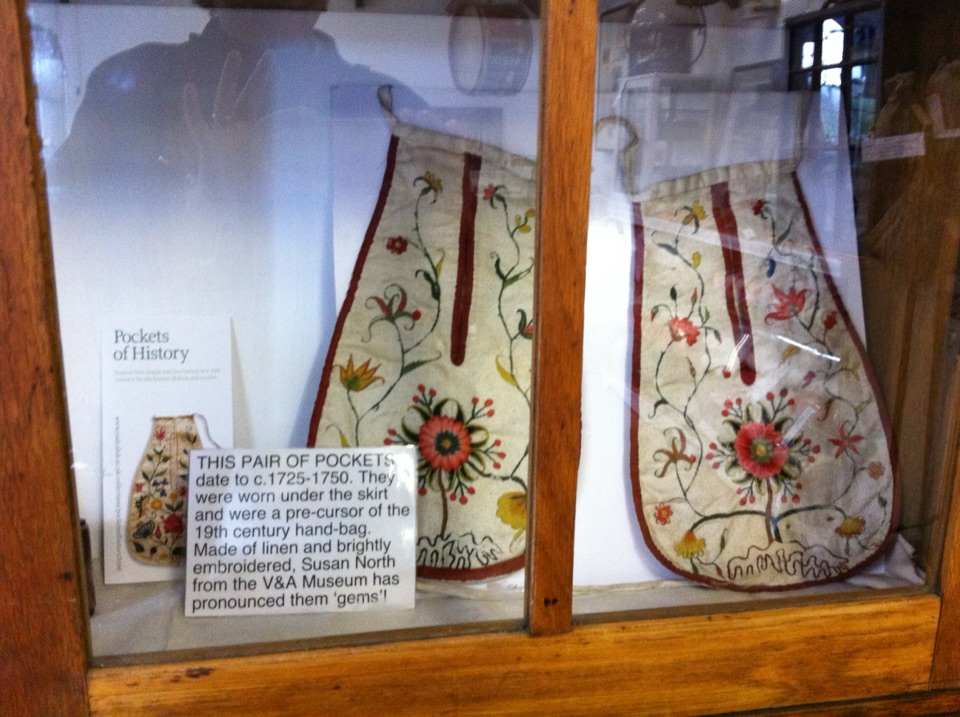 Sight · 0.2 km awaySwaledale MuseumLead-mining tools, hand-sewn pockets and dale voices in one old schoolroom
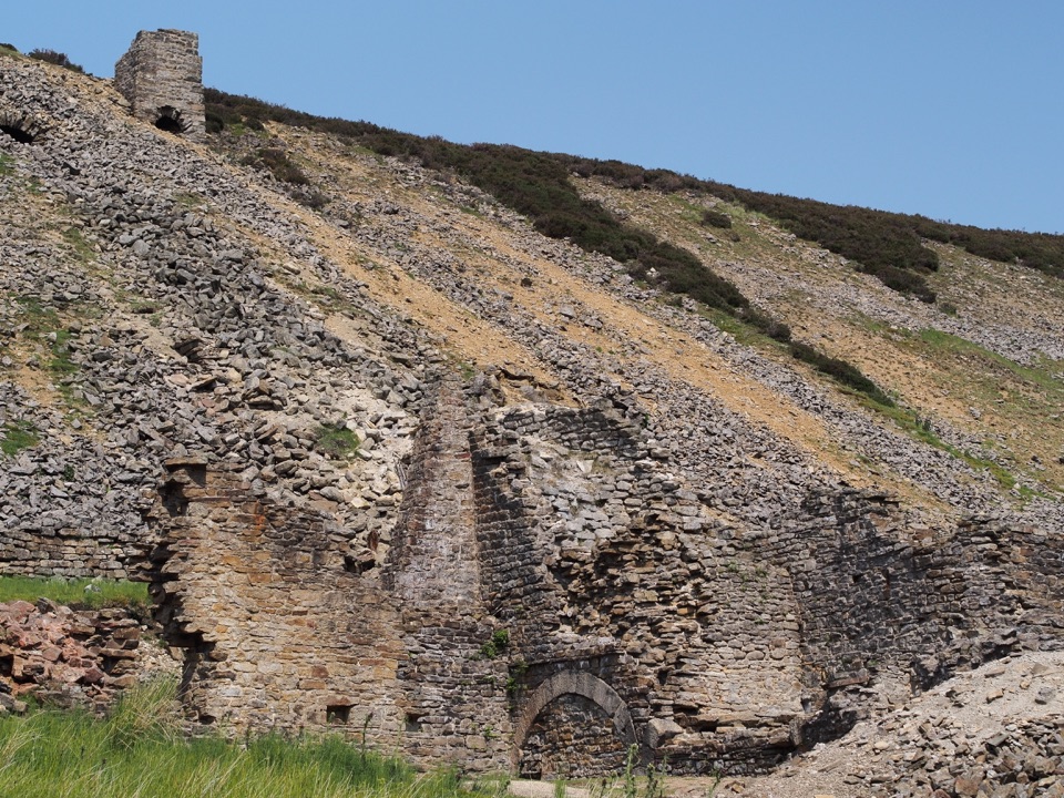 Sight · 6.5 km awayOld Gang Smelting MillRuined lead smelt mill and chimney on a moorland beck in Swaledale
 Sight · 7.5 km awayBolton CastleMary Queen of Scots was held behind these walls above Wensleydale
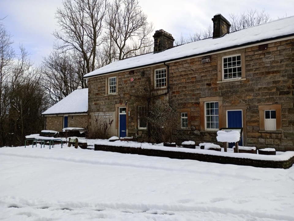 Visitor center · 10.9 km awayAysgarth Falls National Park CentreMaps, cafe and an all-terrain wheelchair minutes from the falls
 Sight · 10.9 km awayAysgarth FallsThree stepped cascades on the Ure, thunderous after heavy rain
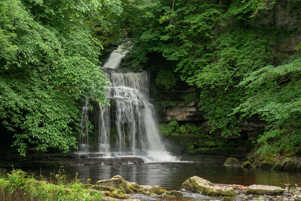 Sight · 12.8 km awayCauldron FallsTurner painted this shady plunge pool minutes from the green
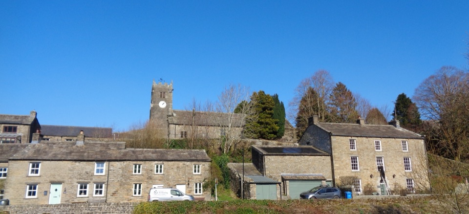 Sight · 12.9 km awayMukerSlate-roofed cottages, hay meadows and four waterfalls up the dale
Parkwolf’s Yorkshire Dales ranking

The audio tour guide for the drive, plus offline maps, trails, and wildlife heatmaps for when the signal drops.





