Old Gang Smelting Mill in Yorkshire Dales National Park

Sight · Yorkshire Dales National Park

Old Gang Smelting Mill

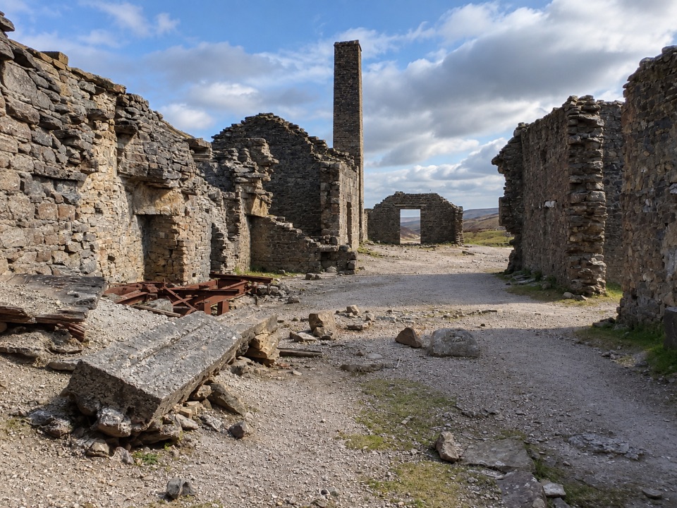
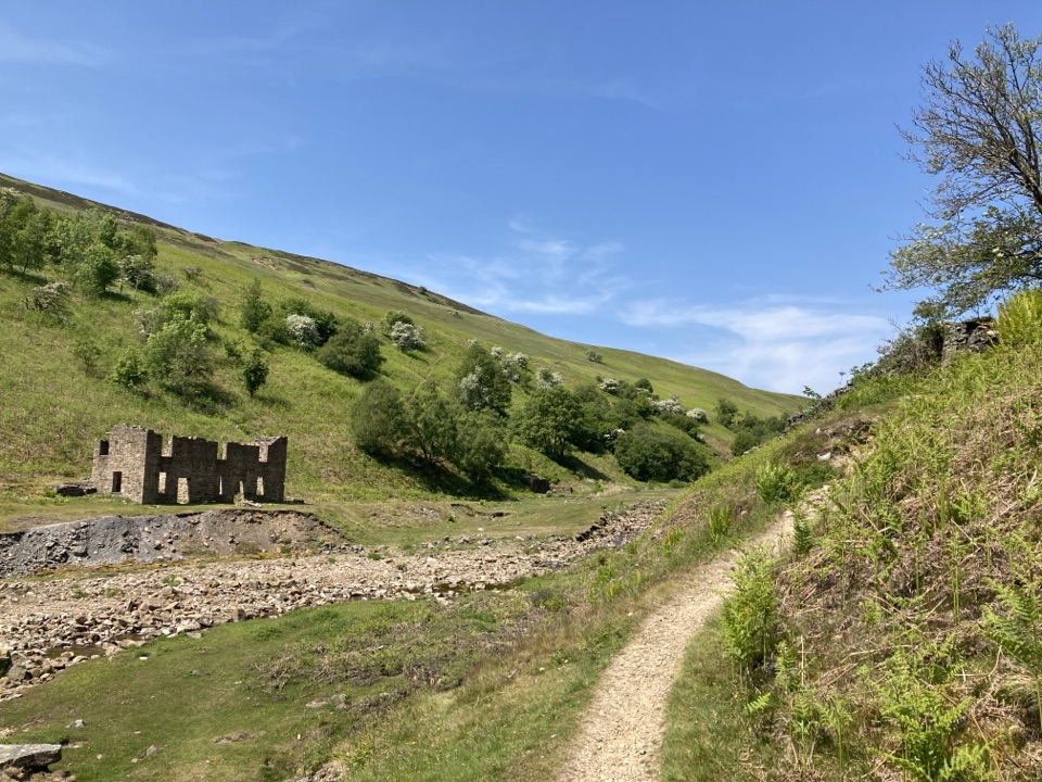
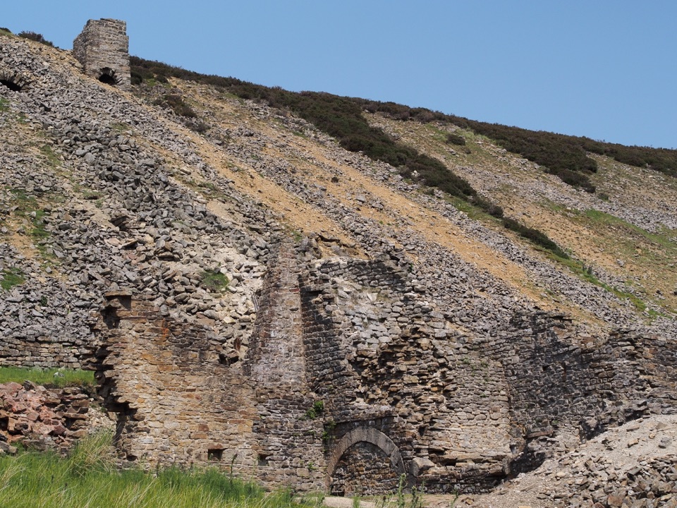
Ruined lead smelt mill and chimney on a moorland beck in Swaledale

Photo: Wikimedia Commons
Type
Sight
Nearest trail
1.6 km
Audio stories
4 nearby

Hear the audio tour

Old Gang Smelting Mill from Surrender Bridge

Overview

About Old Gang Smelting Mill

Why stop

  • Extensive lead-mining ruins and industrial features
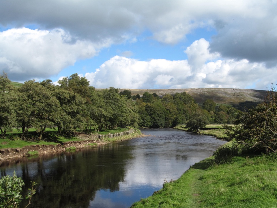
  • Quiet walk beside Old Gang Beck through open dale scenery

Heads up

  • A real 3 km walk each way
  • Uneven historic remains and no on-site facilities
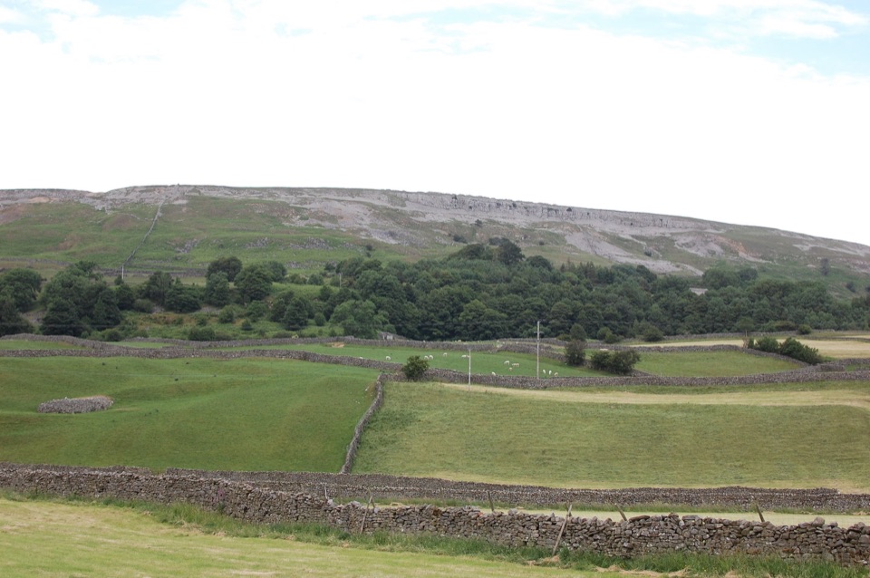
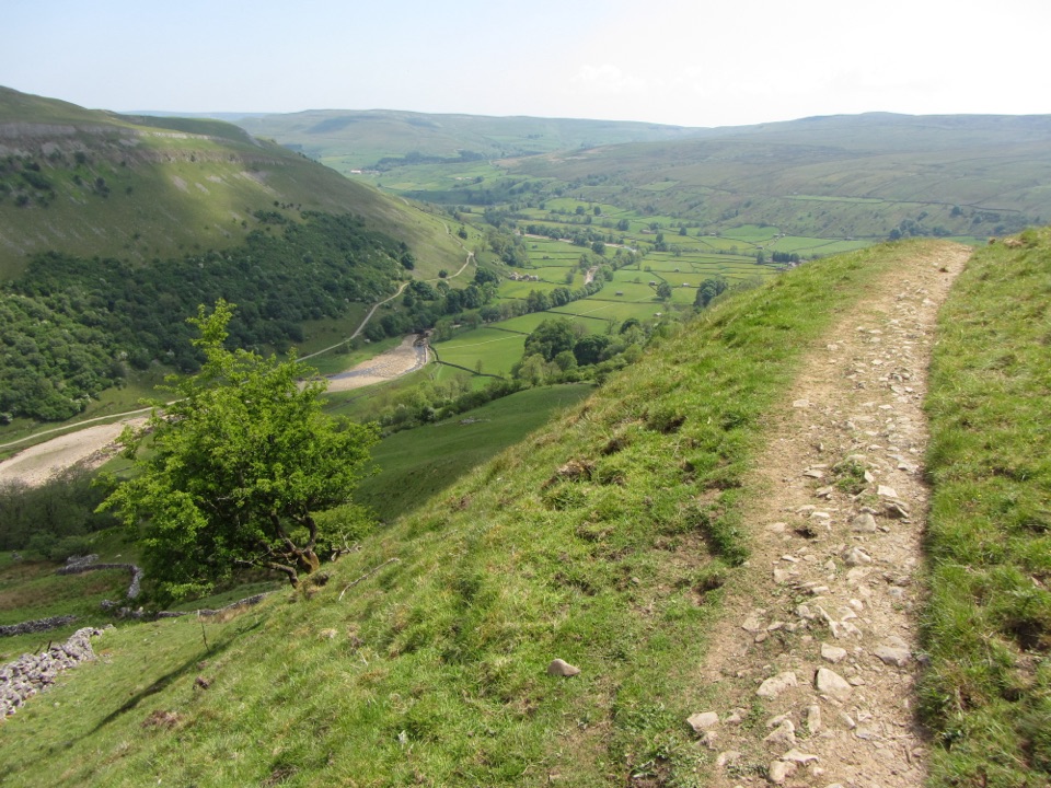
It is described as one of the largest and best-preserved lead-mining sites in the Yorkshire Dales, set high above Gunnerside with views over the river, meadows and moorland. The industrial remains and the open dale are visible together, which is rare on this scale.
Parkwolf’s verdictWhy stop

Map

Where it is

Loading the Yorkshire Dales map
Full map
SightOld Gang Smelting Mill54.40033, -2.04132
Keep this map with you offline in the Parkwolf app

Plan your stop

Before you go

Best time to go

Longer daylight makes the 9 km circular more comfortable; the shorter out and back suits shorter days. A wider circular walk in this area is graded moderate at around 5.8 miles and 905 ft of ascent, roughly 2.5 to 3 hours, which is a useful yardstick if you extend beyond the mill.


Route and access

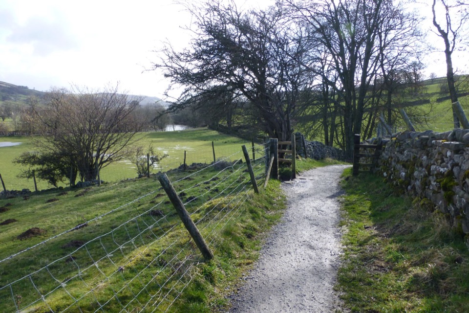
Park just before the bridge, taking the Healaugh turn towards Langthwaite. From the parking, descend, cross the bridge and follow the signed footpath marked BW ONLY NO VEHICLES upstream. The first 3 km run alongside Old Gang Beck to the remains, making 3 km each way, with a 9 km circular option for those who want more. The route is labelled wheelchair accessible and assistance animals are welcome: a graded track at least 200 cm wide, hard and smooth, loose stones up to 10 mm, gradients no steeper than 1:10, becoming more undulating beyond that section.

1 active Yorkshire Dales alert

  • ClosureTemporary closures on public rights of wayAvoid the listed sections of public rights of way while their temporary closures or pedestrian prohibition are in force. - Public Bridleway No. 52 (05.Official details
Yorkshire Dales alerts
A park ranger sits on a dash-mounted phone, talking, as Parkwolf’s Tour Guide plays “Army Cutworm Moths: A Grizzly Bear Buffet” on Grand Loop Road below Dunraven Pass in Yellowstone
Parkwolf Tour GuideThe highest, rockiest slopes around here are a summer buffet for grizzly bears.

Yorkshire Dales Tour Guide

Your drive to Old Gang Smelting Mill, narrated.

Parkwolf is a GPS audio tour guide for Yorkshire Dales National Park. As you drive, it chimes in with what’s ahead: hidden gems, upcoming stops, history, geology, and wildlife, right through your car’s speakers.

Recorded for this place

Old Gang Smelting Mill from Surrender Bridge
0:00 / 0:30
“You're approaching Surrender Bridge, the start of the walk to Old Gang Smelting Mill.”

Plays as you drive up to Old Gang Smelting Mill in the Parkwolf Yorkshire Dales Tour Guide.

More stories near here in the app

  • The Stone Behind White China
  • The Fuel House at Old Gang
  • The Farm Divided Among Heirs
  • Gunnerside Gill Walk
  • 298 audio storiesacross Yorkshire Dales’s roads, triggered by GPS as you drive
  • Wildlife heatmapsfor Eurasian Otter, Atlantic Salmon, Short-eared Owl, and 13 more
  • Works offlinemaps, 99 trails, 63 places, and audio download before you lose signal
  • CarPlay readysimple controls built for the drive
★★★★★
“Fantastic app with many points of information… It’s great to just turn on while you’re driving and it gives you an audio tour of the national Park. We love it!!!!”
JMJamesApp Store review
Download Parkwolf on the App StoreGet Parkwolf on Google Play

4.7 from 8,600+ ratings

Guide

More about Old Gang Smelting Mill

What it isA ruined lead-smelting complex above Gunnerside Gill in the Yorkshire Dales National Park.

A ruined lead-smelting complex above Gunnerside Gill in the Yorkshire Dales National Park. The lower mill was built in 1846, incorporated an existing flue system, and worked into the late nineteenth century, with small-scale smelting continuing before the site was closed by 1913.

What you seeStone ruins with arched openings and a chimney and flue fragment on a rocky, heather-covered…

Stone ruins with arched openings and a chimney and flue fragment on a rocky, heather-covered slope. The wider complex also takes in an older smelt mill, a large dressing floor, levels, hushes, shallow shafts and a spoil heap over 500 metres long.

PreparationPlan for 6 km there and back at minimum.

Plan for 6 km there and back at minimum. Use the public toilets in Reeth, which include RADAR access, before you set out, as no approved facilities are verified at the ruin itself. Footwear that copes with stone and loose surfaces helps once you leave the graded track and move among the remains.

Honest drawbacksThe graded surface does not last the whole way, and the historic remains themselves are uneven…

The graded surface does not last the whole way, and the historic remains themselves are uneven underfoot. There is nothing to do here but walk and look: no verified facilities at the site, and the nearest toilets are back in Reeth.

Wildlife

Wildlife in Yorkshire Dales

All Yorkshire Dales wildlife maps

Sighting maps show where each species has been reported across Yorkshire Dales. Wildlife moves, so no sighting is guaranteed.

Parkwolf’s Yorkshire Dales ranking

Top sights in Yorkshire Dales

All 63 places
  1. 1Malham CoveSight
  2. 2Aysgarth FallsSight
  3. 3Ribblehead ViaductSight
  4. 4Gordale ScarSight
  5. 5Bolton CastleSight
  6. 6Janet's FossSight

Take Parkwolf to Yorkshire Dales.

The audio tour guide for the drive, plus offline maps, trails, and wildlife heatmaps for when the signal drops.

4.7 from 8,600+ ratings

Download Parkwolf on the App StoreGet Parkwolf on Google Play