Parking
Start in Reeth, where parking is available around the edges of the central village green. Keld has parking, a cafe and toilets, but this is point to point, so arrange a lift, shuttle, or a ride back.
Yorkshire Dales National Park, EN
Stone tracks and quiet lanes from Reeth up Swaledale to Keld
Overview
Map & elevation
Plan your hike

The highest, rockiest slopes around here are a summer buffet for grizzly bears.
Yorkshire Dales Tour Guide
Parkwolf is a GPS audio tour guide for Yorkshire Dales National Park. As you drive, it chimes in with what’s ahead: hidden gems, upcoming stops, history, geology, and wildlife, right through your car’s speakers.
Recorded for this trailhead
Reeth Village Green“You're coming up on Reeth, a village gathered around a broad green above the River Swale.”
Plays as you drive up to this trailhead in the Parkwolf Yorkshire Dales Tour Guide.
More stories near here in the app
“Fantastic app with many points of information… It’s great to just turn on while you’re driving and it gives you an audio tour of the national Park. We love it!!!!”


Trail guide
The Swale Trail is a marked, point to point mountain bike route running up Swaledale from Reeth to Keld. Plan on about 21 km / 13.3 miles one way, which is the practical measured distance; the park's rounded figure of 20 km / 12 miles is also commonly used, and it describes the same ride rather than a different one. An official GPX is available if you like to load the line before you set off.
The riding builds as you go: the lower half is relaxed valley riding, while the upper half gives the better views, the old mining ground and the more demanding riding.
Moderate overall. Reeth to Gunnerside is the easier stretch and mainly traffic free, suitable for reasonably fit riders on a mountain bike. Gunnerside to Keld is the harder blue grade half, with challenging climbs and the short steep river crossing at Keld that some riders sensibly walk. Allow about 3 hours for an ordinary rider once you factor in the climbs, route finding and stops.
A mixture of unsurfaced tracks and quiet tarmac lanes, with roughly 70% unsurfaced. Expect stone tracks and uneven ground, especially above Gunnerside, and treat the steep river crossing near Keld as a spot where pushing is a fair choice.
The route is signed and follows an established line up the dale, and a map or GPS is useful if you prefer to keep track of where you are. It is a multi user route shared with walkers, horse riders, other cyclists and occasional farm vehicles, so ride at a speed that lets you stop, give way on narrow tracks, and pass horses slowly and quietly.
Reeth village is the primary start, with parking around the village green. Keld has parking, a cafe and toilets, but since the ride is one way you need a return plan, whether that is a shuttle, a lift, or riding back. Gunnerside sits roughly midway and makes a natural break between the two halves.
Dogs are welcome on this multi user public route. They must be kept under close control at all times, and on a short lead from 1 March to 31 July for ground nesting birds, as well as around livestock and other trail users.
Wildlife
 10 sightingsEurasian OtterMost seen around 7 PMSighting map
 11 sightingsAtlantic SalmonMost seen around 7 AMSighting map
 12 sightingsShort-eared OwlMost seen around 7 PMSighting map
 22 sightingsWestern Barn OwlMost seen around 6 AMSighting map
 27 sightingsTawny OwlMost seen around 7 PMSighting map
 34 sightingsCommon KingfisherMost seen around 7 AMSighting map
Sighting maps show where each species has been reported across Yorkshire Dales. Wildlife moves, so no sighting is guaranteed.
Keep exploring
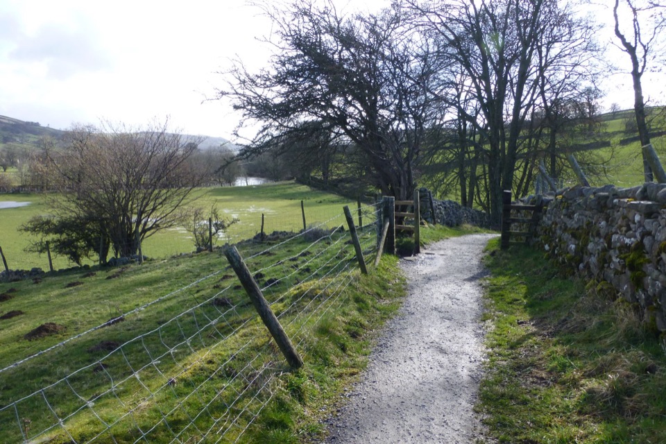
 EasyReeth and Healaugh Circular4.5 km · 1.3 hr · 0.1 km awayVillage lanes and field paths to Healaugh, with a riverside return
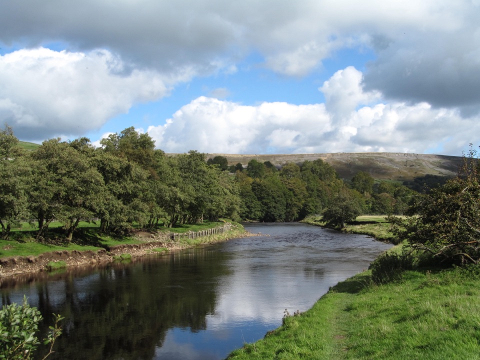
 ModerateReeth Low Common4 km · 1.5 hr · 0.2 km awayField paths, a steep rocky lane and big views over the dale
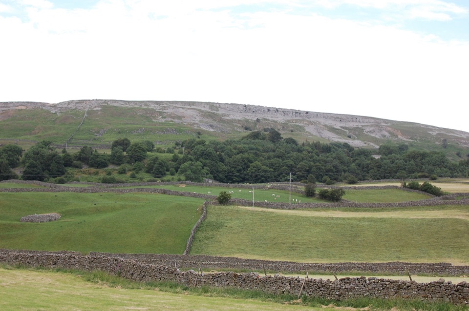
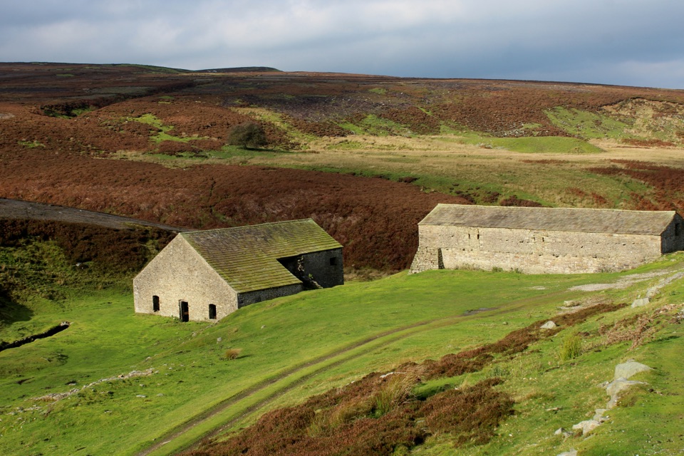 EasyGrinton Smelt Mill Accessible Walk1.5 km · 45 min · 2.6 km awayShort aggregate track beside Cogden Gill to a roofed lead smelt mill
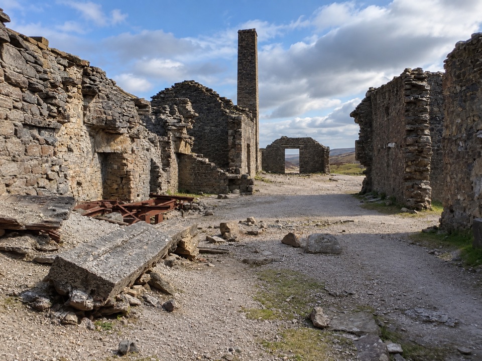 EasyOld Gang Smelt Mill Route6 km · 2 hr · 5.1 km awayWide beckside track to a ruined lead smelt mill, 6 km return
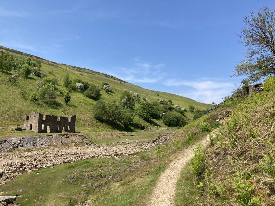 ModerateGunnerside Gill Circular8 km · 3 hr · 8.9 km awayLead-mining ruins deep in a steep gill, with an airy return track
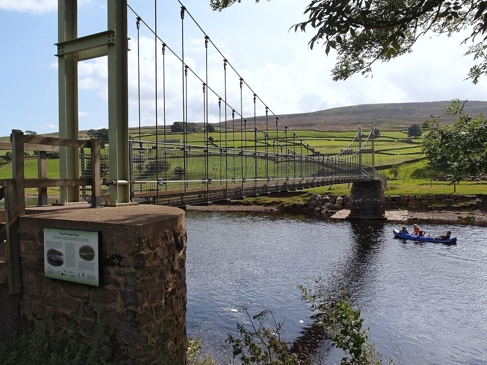 ModerateLow Level Swaledale Walk11.1 km · 2.8 hr · 8.9 km awayRiverside meadows and stone walls from Gunnerside to Reeth Swing Bridge
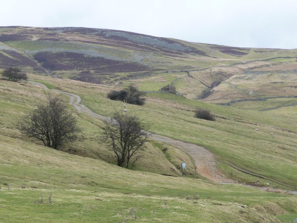 ModerateIvelet Moor Accessible Walk11 km · 3.8 hr · 9.9 km awayEleven kilometres of surfaced moorland track with broad Swaledale views
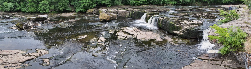 EasyAysgarth Woods and Waterfalls4.2 km · 1.3 hr · 10.8 km awayWoodland paths and open fields loop back past three thundering Ure falls
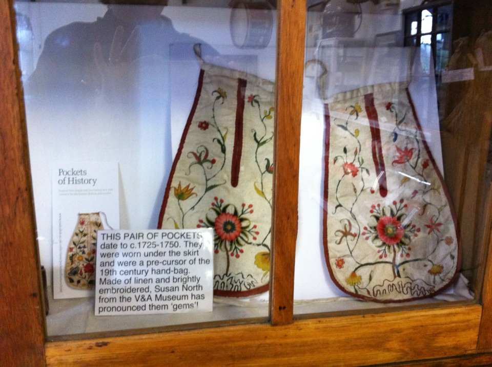 Sight · At the trailheadSwaledale MuseumLead-mining tools, hand-sewn pockets and dale voices in one old schoolroom
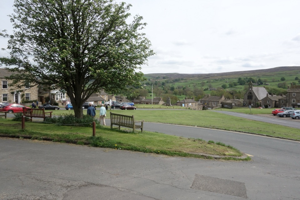 Sight · 0.1 km awayReethA stone-built Swaledale village around a big green, ringed by moors
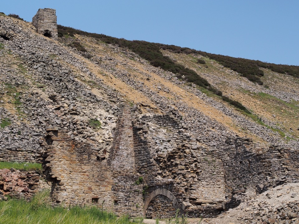 Sight · 6.6 km awayOld Gang Smelting MillRuined lead smelt mill and chimney on a moorland beck in Swaledale
 Sight · 7.4 km awayBolton CastleMary Queen of Scots was held behind these walls above Wensleydale
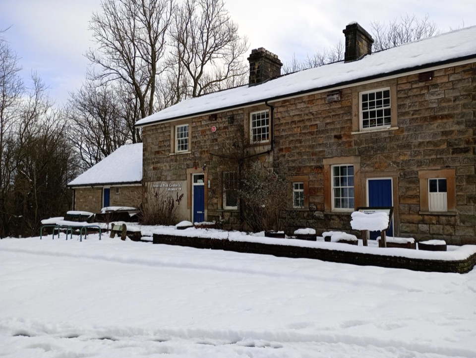 Visitor center · 10.8 km awayAysgarth Falls National Park CentreMaps, cafe and an all-terrain wheelchair minutes from the falls
 Sight · 10.8 km awayAysgarth FallsThree stepped cascades on the Ure, thunderous after heavy rain
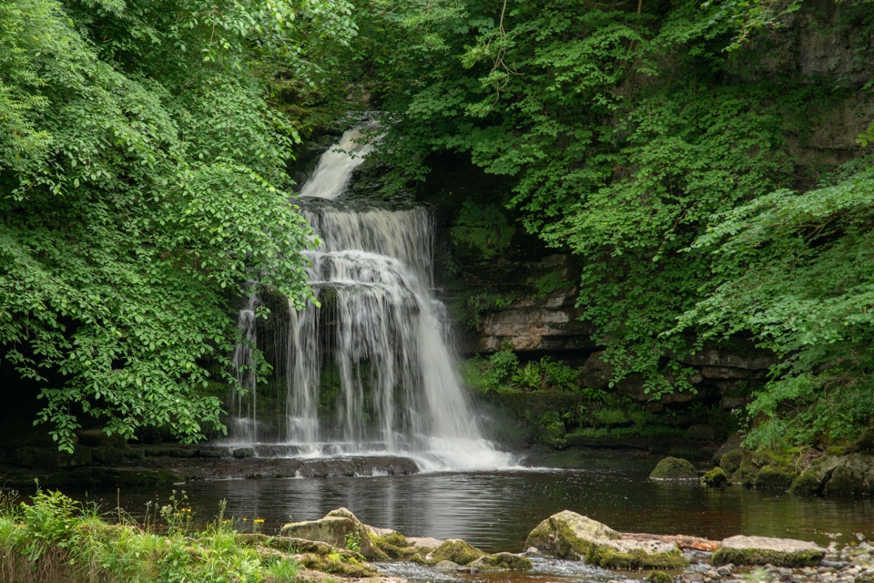 Sight · 12.7 km awayCauldron FallsTurner painted this shady plunge pool minutes from the green
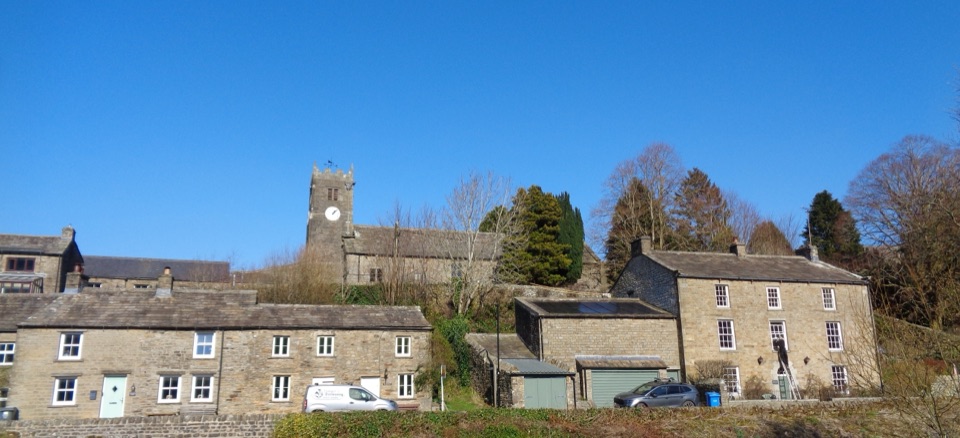 Sight · 13 km awayMukerSlate-roofed cottages, hay meadows and four waterfalls up the dale
Parkwolf’s Yorkshire Dales ranking

The audio tour guide for the drive, plus offline maps, trails, and wildlife heatmaps for when the signal drops.





