Parking
Middleton Top visitor centre on the High Peak Trail near Wirksworth. Arrange separate transport from the Ravenstonedale finish; horse riders may use Hartington Station as the alternative start.
Yorkshire Dales National Park, EN
174 miles of stony bridleway from Derbyshire rails to Cumbrian fells
Overview
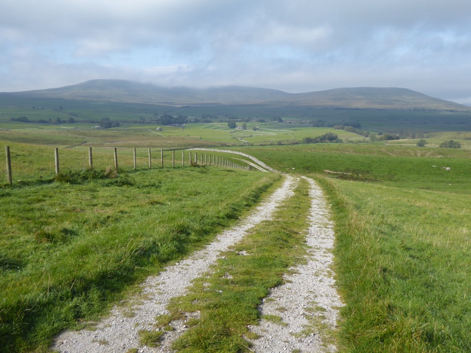
The payoff is the change in character rather than one single view. The northern fells, Mallerstang and Wild Boar Fell give the most open, big-country scenery, and they are the parts most worth timing for good light.
 Parkwolf’s verdictThe sequence and the payoff
Map & elevation
Plan your hike

The highest, rockiest slopes around here are a summer buffet for grizzly bears.
Yorkshire Dales Tour Guide
Parkwolf is a GPS audio tour guide for Yorkshire Dales National Park. As you drive, it chimes in with what’s ahead: hidden gems, upcoming stops, history, geology, and wildlife, right through your car’s speakers.
“Fantastic app with many points of information… It’s great to just turn on while you’re driving and it gives you an audio tour of the national Park. We love it!!!!”


Trail guide
This is the core linear National Trail, running 174 miles / 280 km point to point from Middleton Top visitor centre near Wirksworth in Derbyshire to Ravenstonedale in Cumbria. That figure is one way, not a loop, so transport at both ends has to be arranged. A verified mapped line of the route measures about 168.55 miles, including a public road connector through Settle between the official route parts, so treat 174 miles as the planning convention rather than a precise measurement. It is built for walkers, horse riders and cyclists, and it can be ridden or walked in either direction, though south to north gives the gentler start.
Expect minor roads, gravel tracks, grassed stone tracks, cobbles and worn flags, and long sections that are rough and stony. It is largely off-road but not continuously so. The stony surfaces are slow going for horses, and cyclists should expect a mix rather than smooth trail throughout. This is a serious multi-day undertaking, not a day out, and daily distances should be set conservatively rather than by map miles alone.
The southern half sits closer to towns and settlements. Facilities and services are fewer in the remote Dales and Mallerstang sections, so overnight stops, resupply and transport logistics need planning in advance. Navigation matters too, even though the route is waymarked with National Trail acorn or trail name signs in both directions.
The Settle Loop and the Mary Towneley Loop are separate named variants and are not part of this route. If you want a shorter circular ride or walk that returns to its start, those loops are the better fit. Choose this linear trail only if you want the full south to north traverse with the commitment that implies.
Start access is at Middleton Top visitor centre, and the finish is at Ravenstonedale. Ordinary dogs are legally allowed on the public rights of way and bridleway route that make up the trail. Keep dogs under close control, respect livestock, and follow the normal access land restrictions and any local signs along the way.
Wildlife
 10 sightingsEurasian OtterMost seen around 7 PMSighting map
 11 sightingsAtlantic SalmonMost seen around 7 AMSighting map
 12 sightingsShort-eared OwlMost seen around 7 PMSighting map
 22 sightingsWestern Barn OwlMost seen around 6 AMSighting map
 27 sightingsTawny OwlMost seen around 7 PMSighting map
 34 sightingsCommon KingfisherMost seen around 7 AMSighting map
Sighting maps show where each species has been reported across Yorkshire Dales. Wildlife moves, so no sighting is guaranteed.
Parkwolf’s Yorkshire Dales ranking
The audio tour guide for the drive, plus offline maps, trails, and wildlife heatmaps for when the signal drops.





