Parking
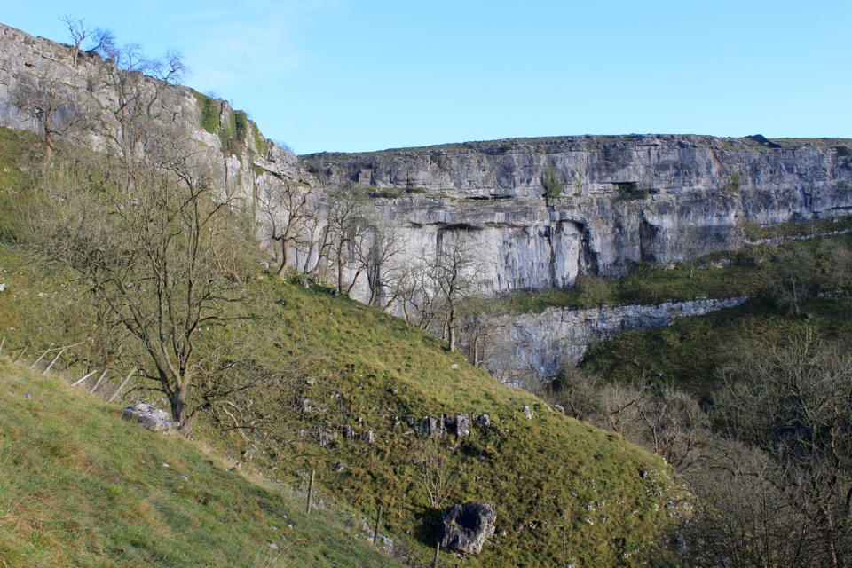
Roadside and hardstanding parking at Ribblehead (LA6 3AS, SD 766 793). Spaces can be busy, so do not block gateways or verges. Ribblehead station is close.

#6 of 99 trails in Yorkshire Dales
Yorkshire Dales National Park, EN
Steep ridge loop from Ribblehead Viaduct to a 736 m fell summit
Overview
A complete circular route starting and finishing at the Ribblehead roadside parking area, with a stored mapped distance of 7.8 miles (12.5 km) for the full loop. Expect around 4.5 hours at an ordinary pace with stops, and about 438 m of ascent. Difficulty is rated hard, 7 out of 10.
Map & elevation
Plan your hike

The highest, rockiest slopes around here are a summer buffet for grizzly bears.
Yorkshire Dales Tour Guide
Parkwolf is a GPS audio tour guide for Yorkshire Dales National Park. As you drive, it chimes in with what’s ahead: hidden gems, upcoming stops, history, geology, and wildlife, right through your car’s speakers.
Recorded for this trailhead
Ribblehead Viaduct“Up ahead is Ribblehead Viaduct, its twenty-four arches stretching across the open moor beneath Whernside.”
Plays as you drive up to this trailhead in the Parkwolf Yorkshire Dales Tour Guide.
More stories near here in the app
“Fantastic app with many points of information… It’s great to just turn on while you’re driving and it gives you an audio tour of the national Park. We love it!!!!”


Trail guide
This is a long fell walk rather than a short viaduct stroll. The ascent is sustained, and the descent from the summit is steep on pitched stone steps that ask for care and steady footing. Surfaces are mixed stone tracks, grassy paths and rough moorland, with stiles and gates on the farmland section. Ground around the moor can be wet or boggy. Boots with grip and ankle support are sensible.
The ridge and summit are open and exposed, and higher ground is colder and windier than the valley. Carry windproof layers, water and food, and be ready to navigate if visibility on the ridge drops. In the wider limestone landscape, keep clear of cave entrances, sinkholes and open limestone pavement, and stay on the path.
On a clear day the high ground gives long views that can reach the Howgills, the Lake District fells and Morecambe Bay. The viaduct and railway are the strongest subjects at the start and finish, and they suit low early or late light, when the arches gain shadow and depth. The ridge is best photographed in the middle of the walk, looking back over the valley farmland.
Parking is roadside and hardstanding around Ribblehead at grid reference SD 766 793, LA6 3AS. Spaces are limited and this is a popular starting point, so arrive early, park responsibly and do not block gateways or verges. There are no toilets at the start. The Station Inn and the railway station are close by, which makes arriving by train a practical option.
The route follows public rights of way and bridleways, so dogs are allowed. Much of the loop crosses grazing land, and the park advises keeping dogs on a short lead around livestock, particularly sheep and cattle. Close every gate behind you.
If the main aim is seeing Ribblehead Viaduct, a shorter valley walk on the low paths gives the views without the summit climb. Walkers wanting a bigger day should look at the full Yorkshire Three Peaks challenge, which is far longer and harder than this loop.
Wildlife
 10 sightingsEurasian OtterMost seen around 7 PMSighting map
 11 sightingsAtlantic SalmonMost seen around 7 AMSighting map
 12 sightingsShort-eared OwlMost seen around 7 PMSighting map
 22 sightingsWestern Barn OwlMost seen around 6 AMSighting map
 27 sightingsTawny OwlMost seen around 7 PMSighting map
 34 sightingsCommon KingfisherMost seen around 7 AMSighting map
Sighting maps show where each species has been reported across Yorkshire Dales. Wildlife moves, so no sighting is guaranteed.
Keep exploring
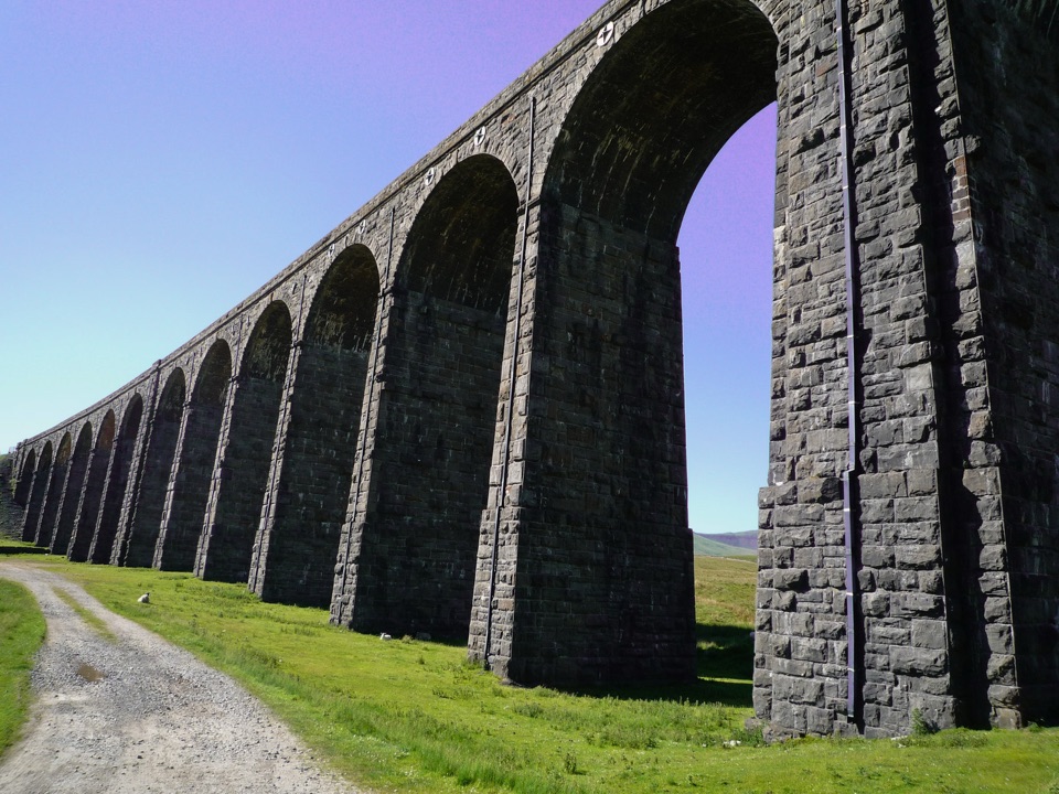 EasyRibblehead Audio Trail2.4 km · 1.5 hr · 0.4 km awayShort audio loop through navvy camps and lime kilns beneath the viaduct
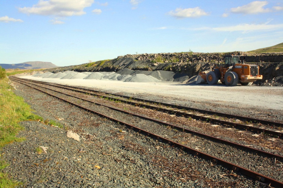 ModerateRibblehead Quarry Walk2.7 km · 1.3 hr · 0.4 km awayQuarry ponds, limestone pasture and a Viking farmstead in 1.68 miles
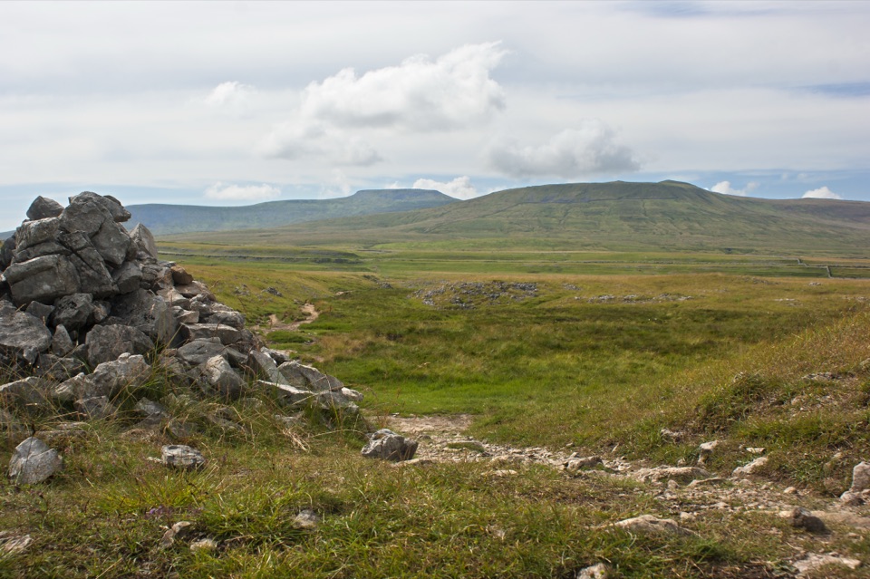 ModerateSulber Nick Accessible Walk6 km · 2.3 hr · 5.2 km awayStile-free limestone track to Sulber Gate with views over Crummack Dale
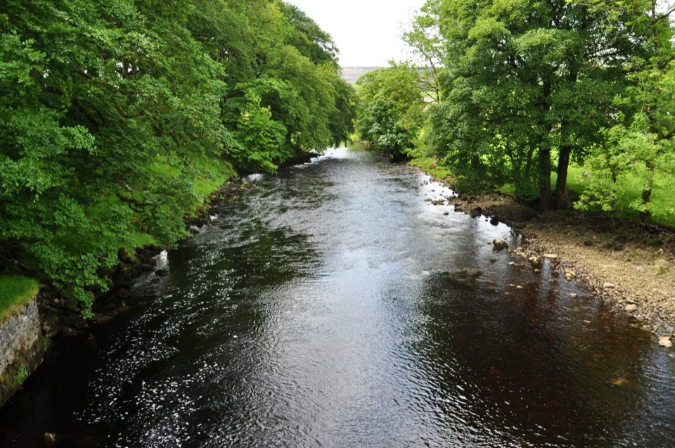 ModerateHorton-in-Ribblesdale to Settle Walk12.9 km · 3.8 hr · 7.7 km awayRibble-side valley walk from Horton station down to Settle station
 ChallengingYorkshire Three Peaks Circular38.6 km · 12 hr · 7.7 km awayThree fell summits, 24 miles and 5,000 feet in one long day
 ModeratePen-y-ghent Circular9.7 km · 3.8 hr · 7.9 km awaySteep wall-side climb to a flat-topped summit, then a walled lane home
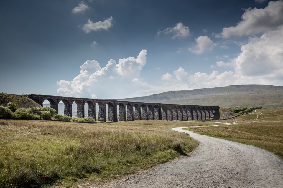 ModerateDent to Ribblehead Walk14.8 km · 5 hr · 8.2 km awayNine moorland miles between two railway stations, ending under the viaduct
 ModerateIngleton Waterfalls Trail6.9 km · 3 hr · 9.4 km awayTicketed 4.3-mile loop past Thornton Force through two wooded gorges
 Sight · 0.6 km awayRibblehead ViaductVictorian stone arches striding across open moss below Whernside
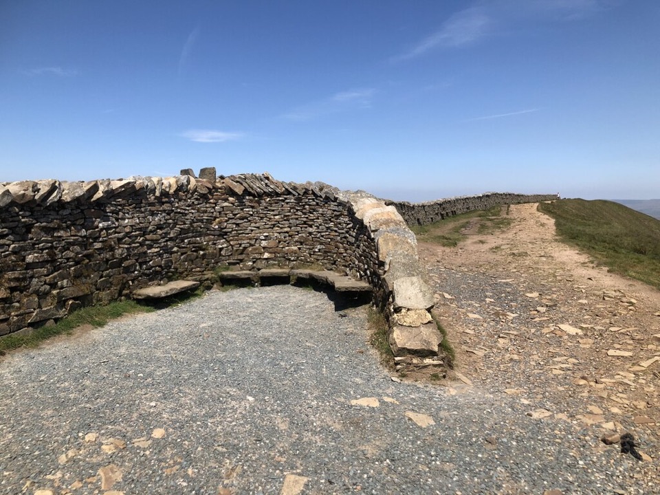 Sight · 3.4 km awayWhernside SummitWhernside Summit: 736 m of ridge walking above Ribblehead
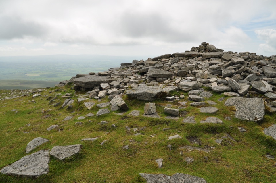 Sight · 5.3 km awayIngleborough SummitIngleborough Summit: flat gritstone plateau with an ancient hill fort
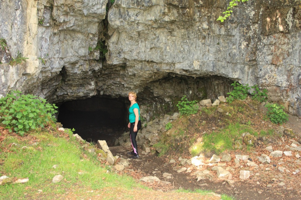 Sight · 6 km awayYordas CaveOld steps, a dark chamber and a hidden underground waterfall
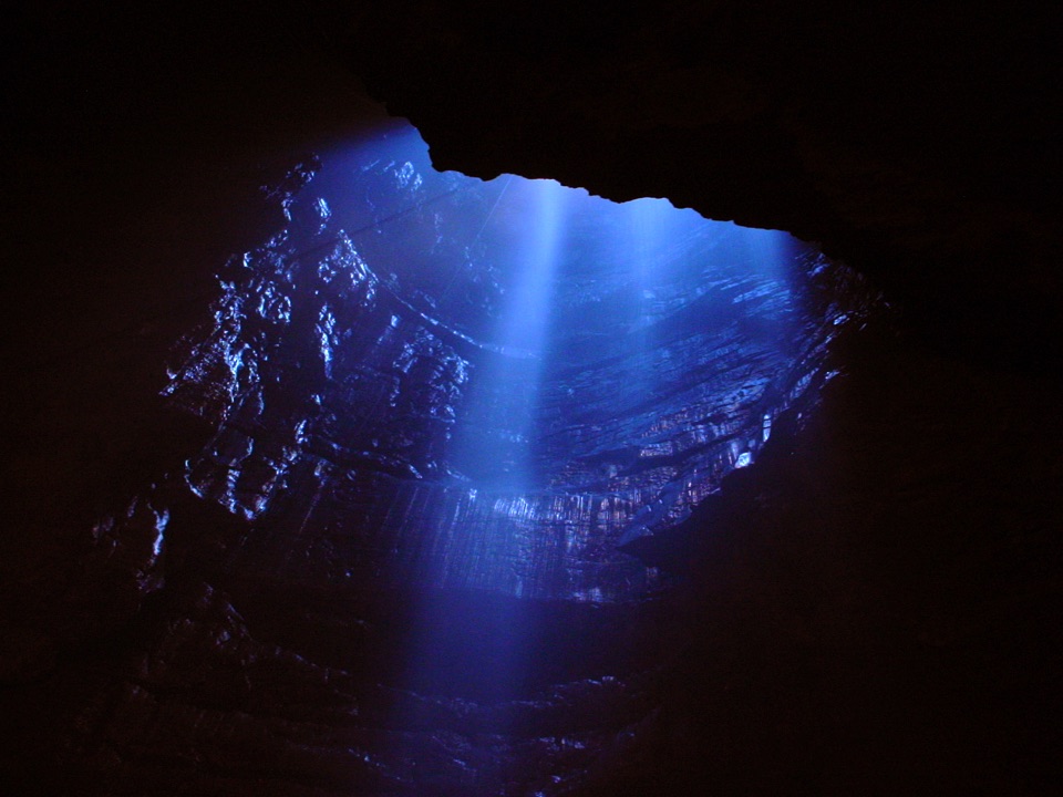 Sight · 6.7 km awayGaping GillA moorland beck vanishes 100m down into a vast hidden chamber
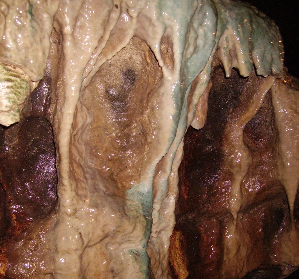 Sight · 7.1 km awayWhite Scar CaveBritain's longest show cave: a guided mile of waterfalls and stalactites
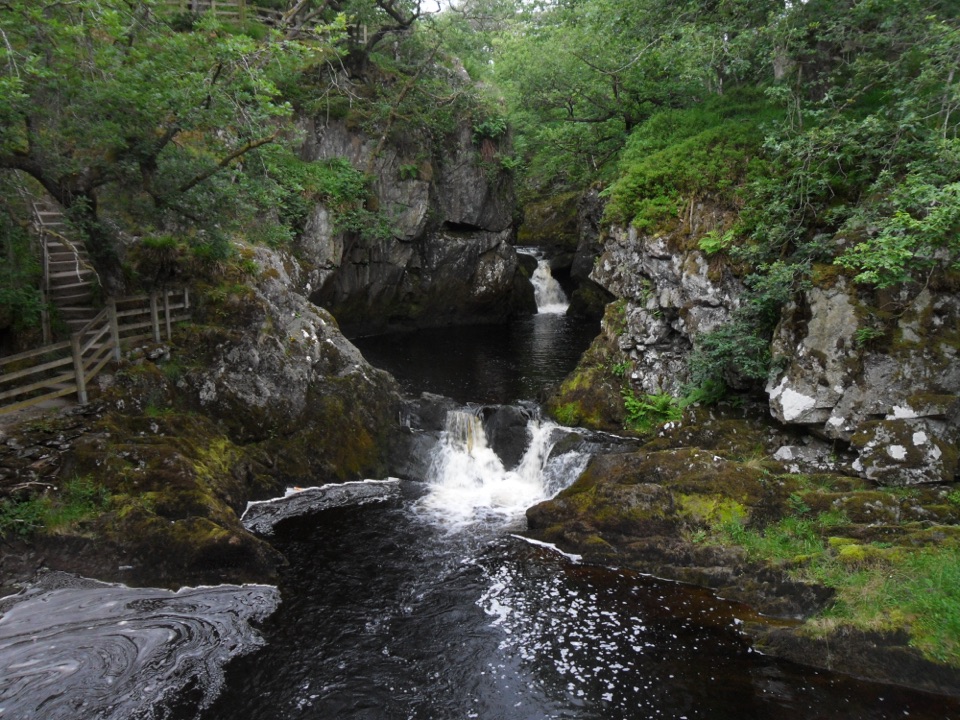 Sight · 7.5 km awayBeezley FallsCascades and Triple Spout on the River Doe in oak woodland
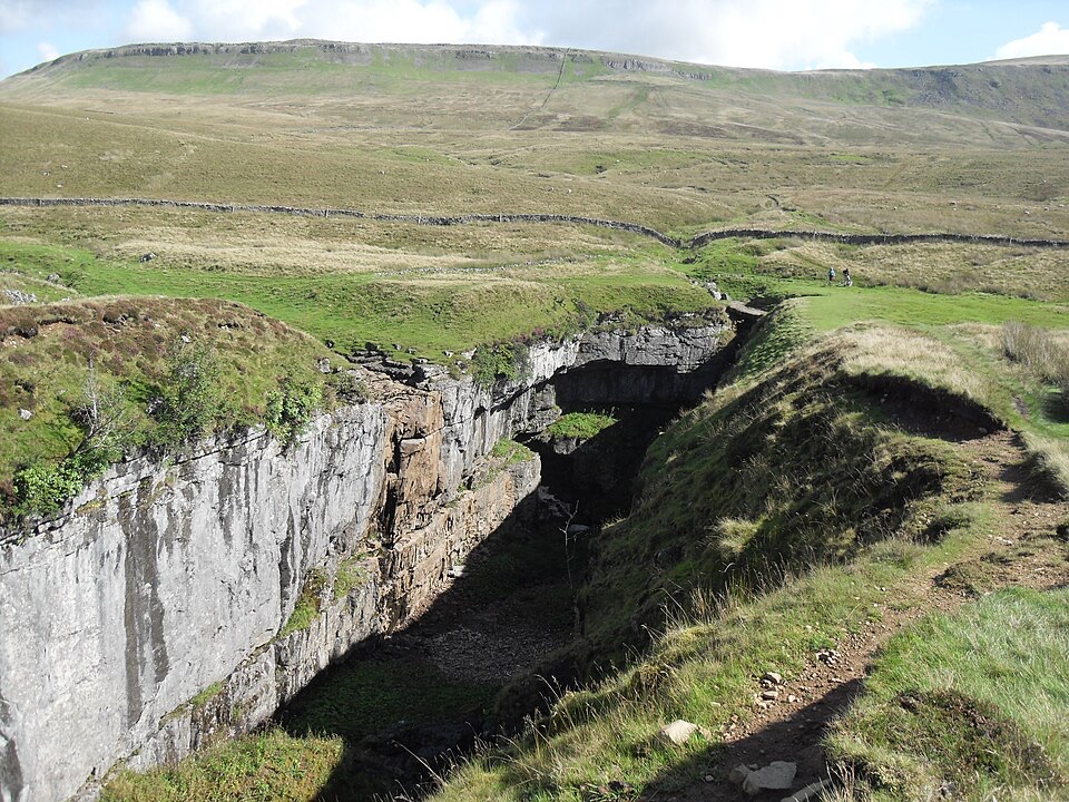 Sight · 7.5 km awayHull PotWalk in to a deep limestone chasm where a cavern collapsed
Parkwolf’s Yorkshire Dales ranking

The audio tour guide for the drive, plus offline maps, trails, and wildlife heatmaps for when the signal drops.