Parking
Yorkshire Dales National Park Car Park - Clapham (LA2 8EF, SD 745 692); public toilets are in the village. Follow signs from the car park toward Ingleborough Cave.

#5 of 99 trails in Yorkshire Dales
Yorkshire Dales National Park, EN
Gorge, cave mouth and limestone pavement on a big 723m summit day
Overview
A circular loop of 17 km (10 miles) from the National Park car park in Clapham (LA2 8EF, grid SD 745 692), with public toilets in the village. Mapped checks come out close to the same figure, so plan on the full 17 km. You start at about 159 m and finish on a 723 m summit, with roughly 560 m of climbing spread over one long, sustained ascent. Allow 5.5 to 6.5 hours at a normal walking and looking pace.
Map & elevation
Plan your hike

The highest, rockiest slopes around here are a summer buffet for grizzly bears.
Yorkshire Dales Tour Guide
Parkwolf is a GPS audio tour guide for Yorkshire Dales National Park. As you drive, it chimes in with what’s ahead: hidden gems, upcoming stops, history, geology, and wildlife, right through your car’s speakers.
Recorded for this trailhead
Clapham and Ingleborough Cave“You're approaching Clapham, a stone village divided by a beck and a good base for Ingleborough's cave country.”
Plays as you drive up to this trailhead in the Parkwolf Yorkshire Dales Tour Guide.
More stories near here in the app
“Fantastic app with many points of information… It’s great to just turn on while you’re driving and it gives you an audio tour of the national Park. We love it!!!!”


Trail guide
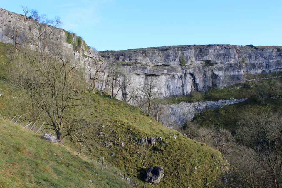
From the car park you head out through the estate approach toward Ingleborough Cave, either on the nature trail (a small fee may apply) or the parallel walled track. Above the cave the path squeezes into Trow Gill, a narrow limestone gorge, then opens onto the fell past Gaping Gill, the huge shaft where Fell Beck disappears underground. From there it is a steep pull onto Little Ingleborough and a walk across the stony plateau to the summit cairn and shelter. The return drops east near Nick Pot and comes back through Clapham Bottoms and the Long Lane corridor.
This is a demanding day hike rather than a stroll. The distance is long, the climb to Little Ingleborough is steep, and the descent is on rough ground for a good while before the lane walking at the end. Bring proper boots, layers, food and water, and be honest about whether everyone in the group can keep going for six hours.
Expect grass, peat, stone paths, sections of bare limestone pavement with gaps to catch a boot, and a rocky, largely pathless summit plateau. The high ground is noticeably colder and windier than Clapham, and there is little to hide behind. Navigation is the real skill here: in cloud or mist it is easy to leave the summit plateau in the wrong direction, so carry a map and compass and know the bearing you need before you commit to the descent. Take care near the edge of Gaping Gill and around the other open shafts on the fell.
Dogs are welcome under the usual Dales rules. Keep them on a lead on public rights of way and anywhere near livestock, and use a short lead from March to July.
The payoff is concentrated in the middle of the day. The opening and closing miles are pleasant but fairly gentle track and lane walking, so you commit to a long approach and a long return for the gorge, the cave mouth and the summit. If you want a quick look at the estate or the cave alone, that is a different and much shorter outing.
Wildlife
 10 sightingsEurasian OtterMost seen around 7 PMSighting map
 11 sightingsAtlantic SalmonMost seen around 7 AMSighting map
 12 sightingsShort-eared OwlMost seen around 7 PMSighting map
 22 sightingsWestern Barn OwlMost seen around 6 AMSighting map
 27 sightingsTawny OwlMost seen around 7 PMSighting map
 34 sightingsCommon KingfisherMost seen around 7 AMSighting map
Sighting maps show where each species has been reported across Yorkshire Dales. Wildlife moves, so no sighting is guaranteed.
Keep exploring
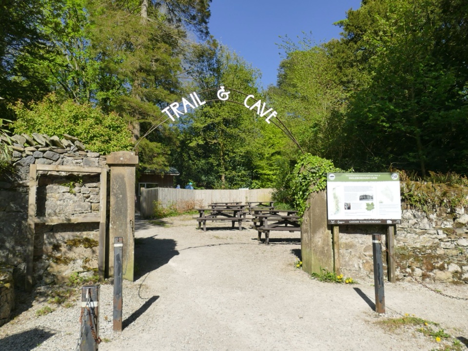 EasyIngleborough Estate Nature Trail2.1 km · 30 min · 0.3 km awayGentle 1.3-mile beck-side woodland walk to a dramatic cave mouth
 EasyOxenber Wood Trail1.1 km · 30 min · 3.4 km awayBluebell woods and old quarry ground on a half-mile point-to-point
 EasyWharfe Wood Trail1.6 km · 30 min · 3.9 km awayShort limestone woodland walk with spring bluebells and open Dales views
 ModerateIngleton Waterfalls Trail6.9 km · 3 hr · 6.6 km awayTicketed 4.3-mile loop past Thornton Force through two wooded gorges
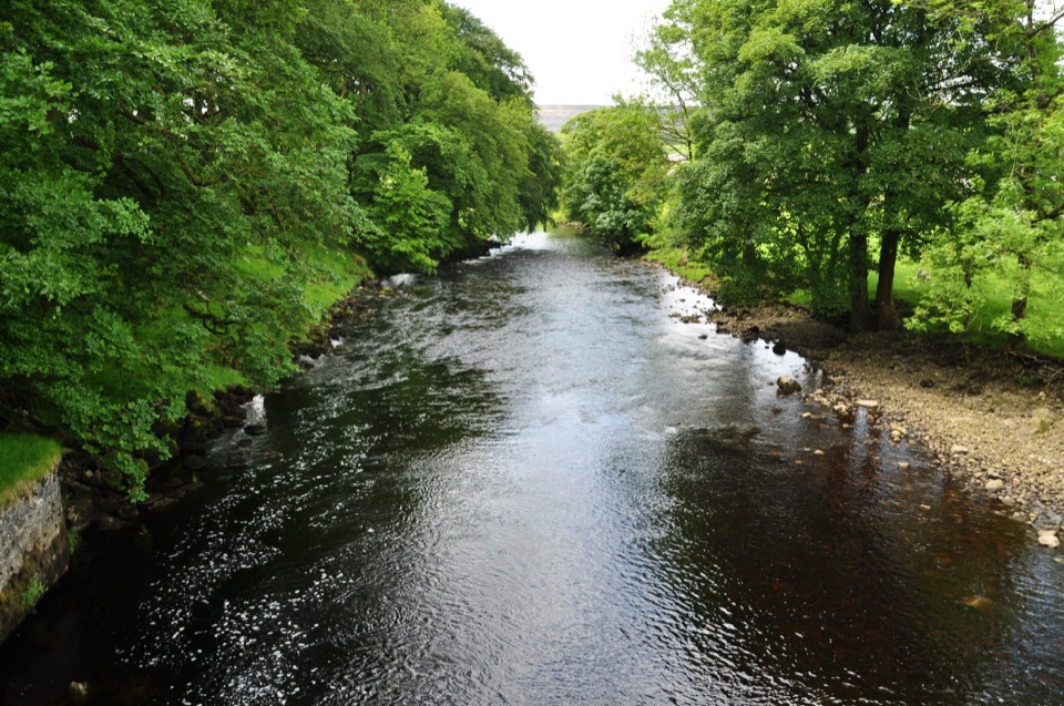 ModerateHorton-in-Ribblesdale to Settle Walk12.9 km · 3.8 hr · 6.7 km awayRibble-side valley walk from Horton station down to Settle station
 ChallengingYorkshire Three Peaks Circular38.6 km · 12 hr · 6.7 km awayThree fell summits, 24 miles and 5,000 feet in one long day
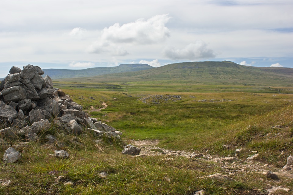 ModerateSulber Nick Accessible Walk6 km · 2.3 hr · 6.9 km awayStile-free limestone track to Sulber Gate with views over Crummack Dale
 ModeratePen-y-ghent Circular9.7 km · 3.8 hr · 7.1 km awaySteep wall-side climb to a flat-topped summit, then a walled lane home
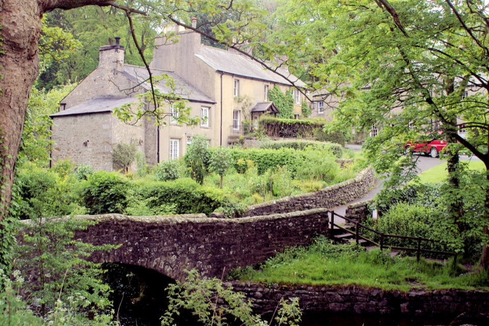 Sight · 0.1 km awayClaphamStone cottages along a beck, with cave country up the lane
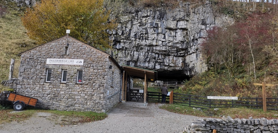 Sight · 2.1 km awayIngleborough CaveA wooded mile in, then half a kilometre of floodlit stalactites
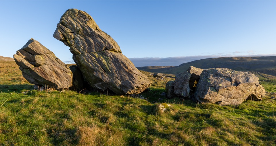 Sight · 2.3 km awayNorber ErraticsIce age boulders perched on pale limestone above a quiet dale
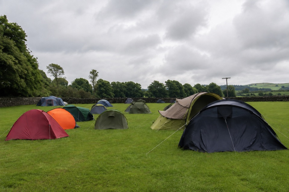 Campground · 2.3 km awayThe Dalesbridge Campsite and CabinsTen-acre camping base for the Three Peaks, with bar and pizza
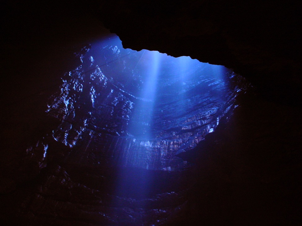 Sight · 3.5 km awayGaping GillA moorland beck vanishes 100m down into a vast hidden chamber
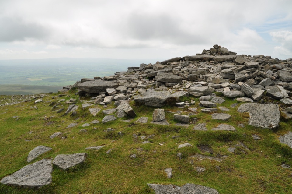 Sight · 5.4 km awayIngleborough SummitIngleborough Summit: flat gritstone plateau with an ancient hill fort
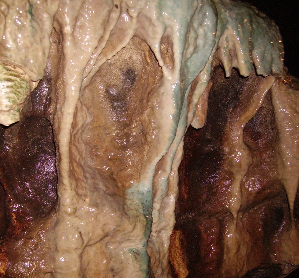 Sight · 6.3 km awayWhite Scar CaveBritain's longest show cave: a guided mile of waterfalls and stalactites
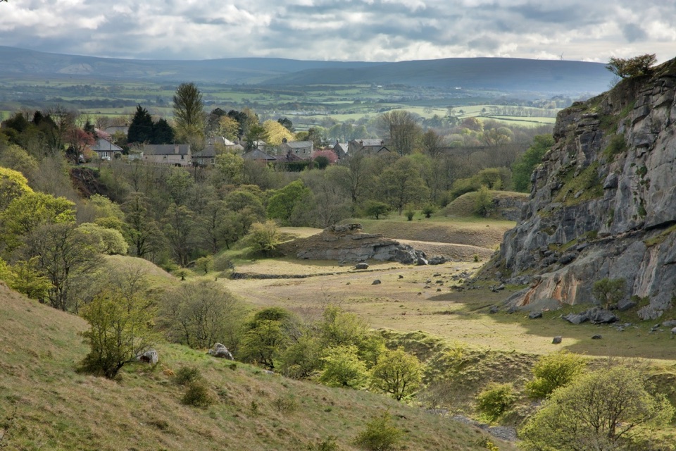 Sight · 6.4 km awayIngletonLimestone base camp for Three Peaks walks, caves and waterfalls
Parkwolf’s Yorkshire Dales ranking

The audio tour guide for the drive, plus offline maps, trails, and wildlife heatmaps for when the signal drops.