Parking
National Park Authority pay-and-display car park beside the B6479 in Horton-in-Ribblesdale (BD24 0HF, SD 807 724); public toilets on site.

#4 of 99 trails in Yorkshire Dales
Yorkshire Dales National Park, EN
Steep wall-side climb to a flat-topped summit, then a walled lane home
Overview
Map & elevation
Plan your hike

The highest, rockiest slopes around here are a summer buffet for grizzly bears.
Yorkshire Dales Tour Guide
Parkwolf is a GPS audio tour guide for Yorkshire Dales National Park. As you drive, it chimes in with what’s ahead: hidden gems, upcoming stops, history, geology, and wildlife, right through your car’s speakers.
Recorded for this trailhead
Horton-in-Ribblesdale and Pen-y-ghent“Up ahead is Horton-in-Ribblesdale, the traditional starting point for the Yorkshire Three Peaks.”
Plays as you drive up to this trailhead in the Parkwolf Yorkshire Dales Tour Guide.
More stories near here in the app
“Fantastic app with many points of information… It’s great to just turn on while you’re driving and it gives you an audio tour of the national Park. We love it!!!!”


Trail guide
A closed circular loop of 10 km / 6 miles starting and finishing at the Horton-in-Ribblesdale National Park car park. Expect about 3.5 to 4 hours at an ordinary pace, with time for the steep upper section, rough footing and a stop at the top. It is graded hard/moderate-hard (6/10): the easiest of the Yorkshire Three Peaks, but still a proper hill walk rather than a lowland stroll.
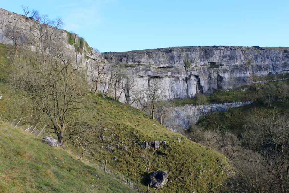
Classic Dales limestone all the way: pale outcrops, dry-stone walls and open fell. The distinctive flat-topped profile of the hill is the draw, and the summit gives wide panoramic views across the surrounding dales and fells. Hunt Pot on the descent is a dark slot in the ground and worth a careful look. The walled lane finish is easy on tired legs and photogenic in low side light.
From near the top of Horton Scar Lane you can make a short there-and-back spur to Hull Pot, a large open chasm. It is not included in the 10 km distance, so add time if you want it. The edges are unfenced, so keep well back and keep children and dogs close.
Wildlife
 10 sightingsEurasian OtterMost seen around 7 PMSighting map
 11 sightingsAtlantic SalmonMost seen around 7 AMSighting map
 12 sightingsShort-eared OwlMost seen around 7 PMSighting map
 22 sightingsWestern Barn OwlMost seen around 6 AMSighting map
 27 sightingsTawny OwlMost seen around 7 PMSighting map
 34 sightingsCommon KingfisherMost seen around 7 AMSighting map
Sighting maps show where each species has been reported across Yorkshire Dales. Wildlife moves, so no sighting is guaranteed.
Keep exploring
 ChallengingYorkshire Three Peaks Circular38.6 km · 12 hr · 0.4 km awayThree fell summits, 24 miles and 5,000 feet in one long day
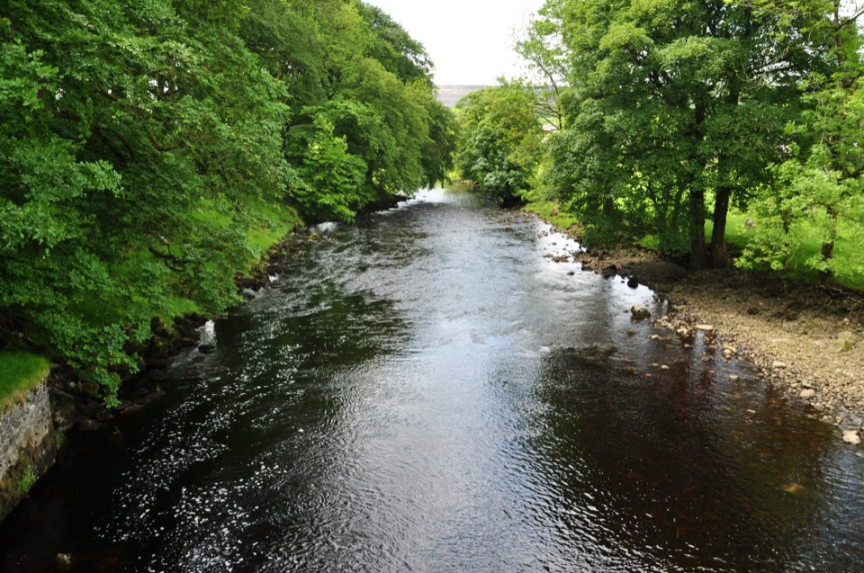 ModerateHorton-in-Ribblesdale to Settle Walk12.9 km · 3.8 hr · 0.4 km awayRibble-side valley walk from Horton station down to Settle station
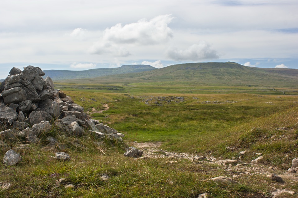 ModerateSulber Nick Accessible Walk6 km · 2.3 hr · 2.8 km awayStile-free limestone track to Sulber Gate with views over Crummack Dale
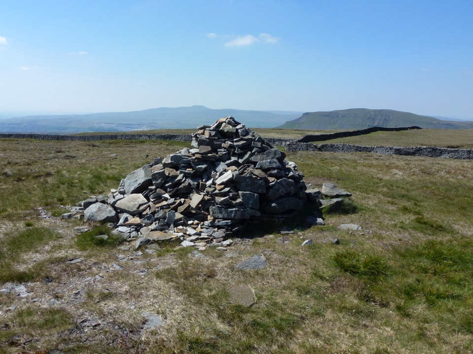 ModerateFountains Fell Trail7.9 km · 3 hr · 3.7 km awayQuiet 668m moorland circuit with cairns, old coal pits and wide views
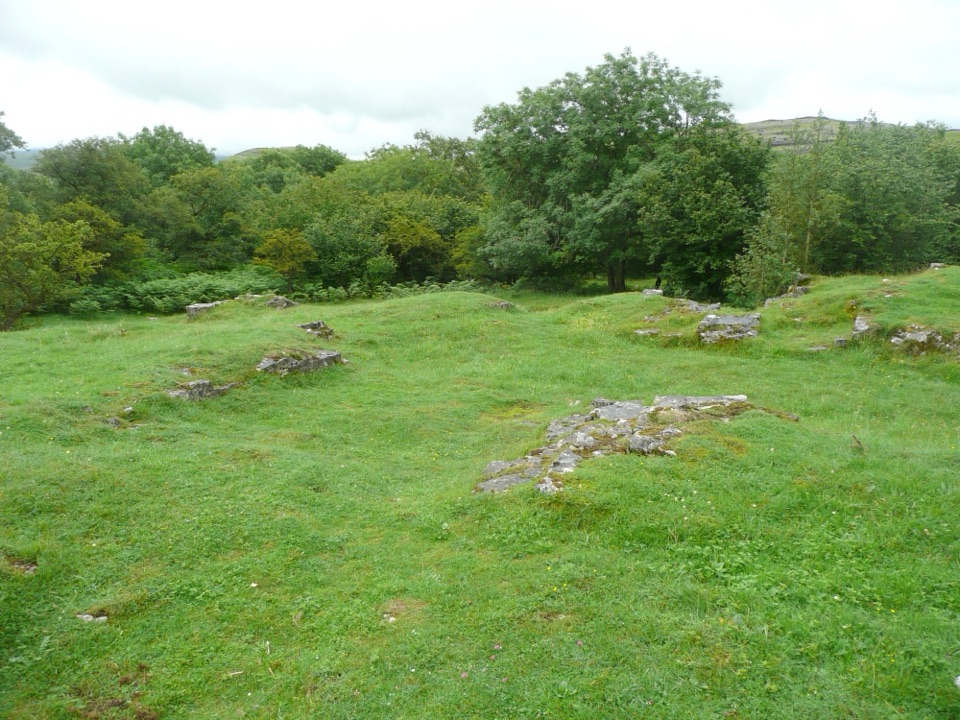 EasyWharfe Wood Trail1.6 km · 30 min · 4.6 km awayShort limestone woodland walk with spring bluebells and open Dales views
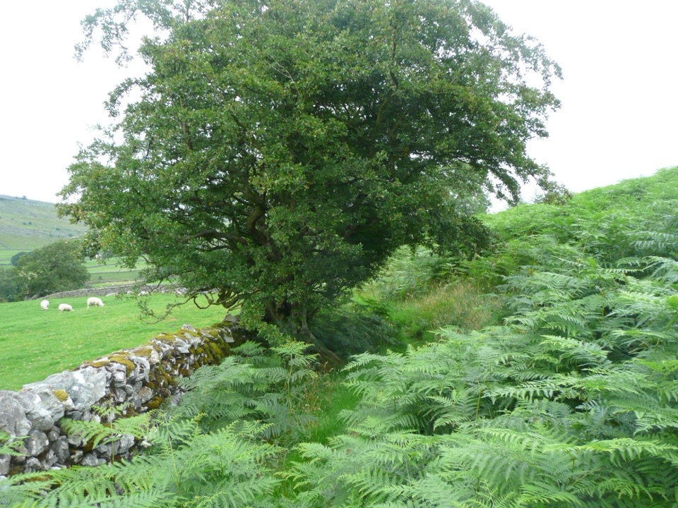 EasyOxenber Wood Trail1.1 km · 30 min · 4.8 km awayBluebell woods and old quarry ground on a half-mile point-to-point
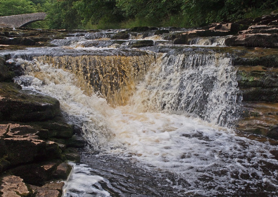 ModerateStainforth Audio Trail6.8 km · 1.8 hr · 5.3 km awayLimestone falls, riverside path and a stone village on an easy loop
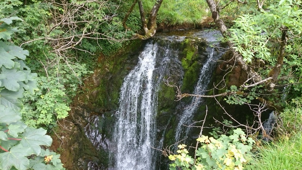 ModerateStainforth and Catrigg Force4.5 km · 1.5 hr · 5.5 km awayLimestone stairway climb to a quiet wooded waterfall above Ribblesdale
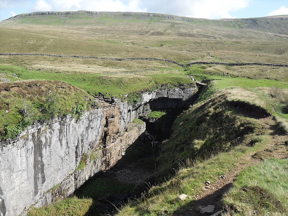 Sight · 2.6 km awayHull PotWalk in to a deep limestone chasm where a cavern collapsed
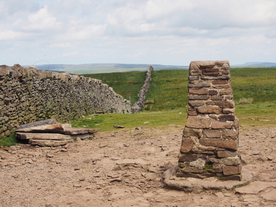 Sight · 3.2 km awayPen-y-ghent SummitStepped lion-shaped summit with a rocky scramble and huge Dales views
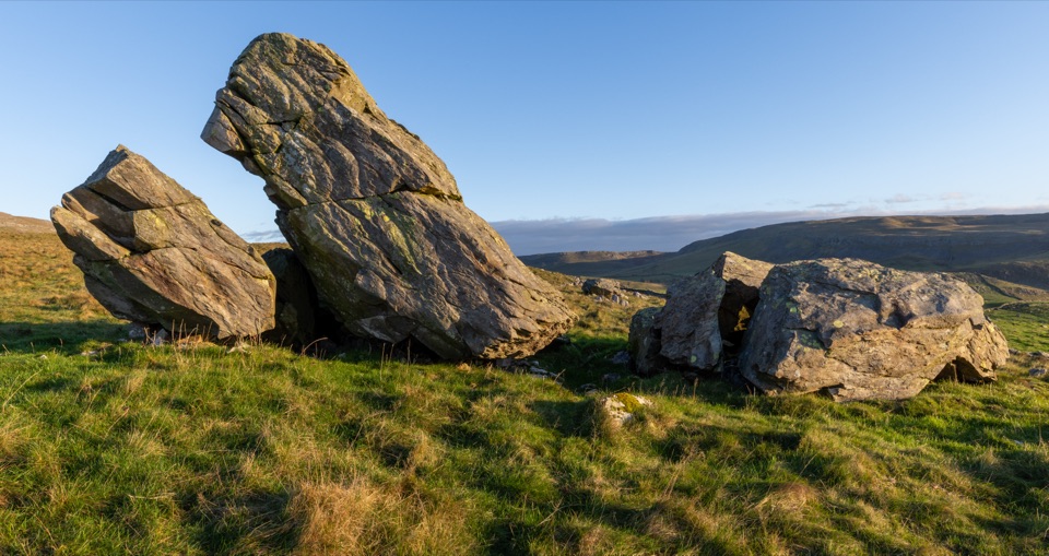 Sight · 4.8 km awayNorber ErraticsIce age boulders perched on pale limestone above a quiet dale
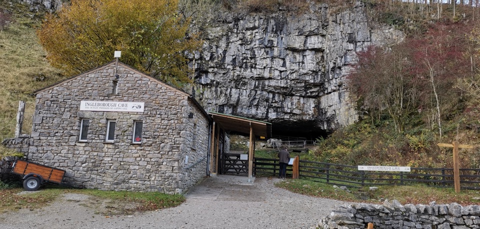 Sight · 5.6 km awayIngleborough CaveA wooded mile in, then half a kilometre of floodlit stalactites
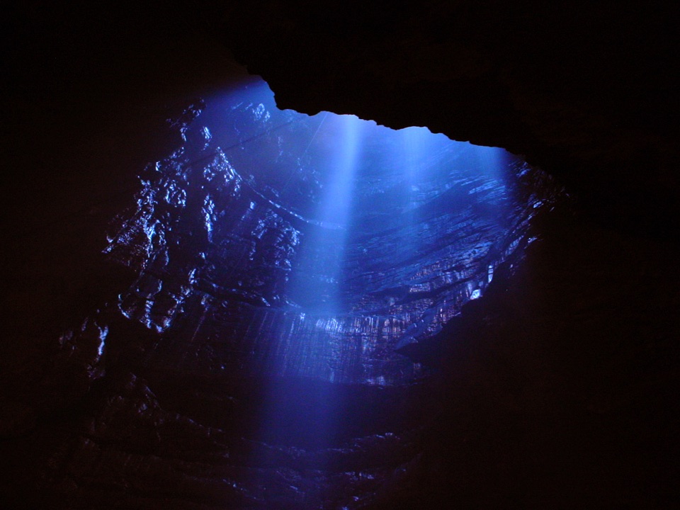 Sight · 5.6 km awayGaping GillA moorland beck vanishes 100m down into a vast hidden chamber
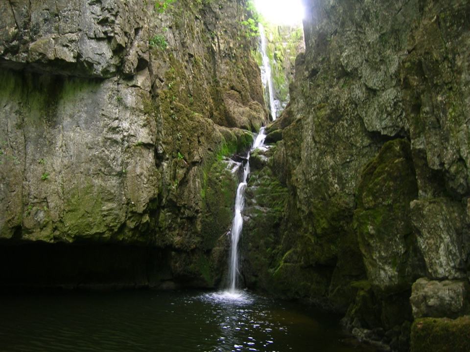 Sight · 6 km awayCatrigg ForceMulti-drop cascade hidden in a mossy limestone gorge above Stainforth
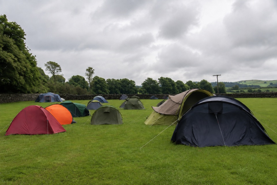 Campground · 6.7 km awayThe Dalesbridge Campsite and CabinsTen-acre camping base for the Three Peaks, with bar and pizza
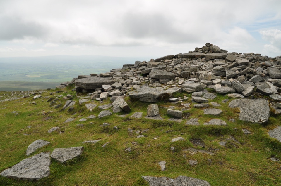 Sight · 6.9 km awayIngleborough SummitIngleborough Summit: flat gritstone plateau with an ancient hill fort
Parkwolf’s Yorkshire Dales ranking

The audio tour guide for the drive, plus offline maps, trails, and wildlife heatmaps for when the signal drops.