Parking
Use the Yorkshire Dales National Park public car park in Horton-in-Ribblesdale (BD24 0HF, SD 807 724); parking is limited, there is no coach parking, and Horton station is nearby.

#1 of 99 trails in Yorkshire Dales
Yorkshire Dales National Park, EN
Three fell summits, 24 miles and 5,000 feet in one long day
Overview
Map & elevation
Plan your hike

The highest, rockiest slopes around here are a summer buffet for grizzly bears.
Yorkshire Dales Tour Guide
Parkwolf is a GPS audio tour guide for Yorkshire Dales National Park. As you drive, it chimes in with what’s ahead: hidden gems, upcoming stops, history, geology, and wildlife, right through your car’s speakers.
Recorded for this trailhead
Horton-in-Ribblesdale and Pen-y-ghent“Up ahead is Horton-in-Ribblesdale, the traditional starting point for the Yorkshire Three Peaks.”
Plays as you drive up to this trailhead in the Parkwolf Yorkshire Dales Tour Guide.
More stories near here in the app
“Fantastic app with many points of information… It’s great to just turn on while you’re driving and it gives you an audio tour of the national Park. We love it!!!!”


Trail guide
This is a full circular walk of 24 miles (38.6 km) from Horton-in-Ribblesdale, taking in Pen-y-ghent, Whernside and Ingleborough in one continuous day. The mapped line follows the circuit once and includes the out-and-back spur to the Ingleborough summit, which is where the traced distance lands at 38.65 km; the visitor-facing figure to plan around is 24 miles with over 1,600 m (5,000 ft) of ascent.
The walk leaves Horton past the Golden Lion and the church, climbs through Brackenbottom to the Pen-y-ghent summit, then drops north past Hunt Pot, crosses Whitber Hill and works on past Birkwith cave and Nether Lodge. A short stretch of the B6479 leads to Ribblehead, where the route passes beneath the viaduct and railway and crosses near the aqueduct before the long pull up Grain Head onto the Whernside ridge. From there it descends toward Bruntscar and the Old Hill Inn, crosses fields and limestone pavement near Braithwaite Wife Hole, climbs Ingleborough, then returns east past a ruined cottage and through Sulber Nick to Horton station and the car park.
Rate this 10 out of 10 for difficulty. It is not technical, but it is very long, sustained and exposed, with three separate steep climbs after the legs are already tired. Plan on about 12 hours of walking; strong, fast parties finish under that, and many take longer. Sub-12-hour completion is a benchmark that people chase, not something the route promises. You need genuine hill fitness, the ability to navigate in cloud, and food and water carried from the start, since there are no shops on the summits and toilets away from Horton are limited.
Paths are generally good and often well used, with flagged and pitched sections on the popular climbs. Two things demand attention. First, the B6479 section is on road, and traffic there can be fast, so walk it with care. Second, summits sit far above the valley and can be much colder and windier than Horton even on a warm day, and cloud can arrive quickly. The Ingleborough summit plateau is notoriously easy to leave on the wrong bearing in poor visibility. Carry an Ordnance Survey map and compass and know how to use them rather than relying on waymarks or on following other walkers.
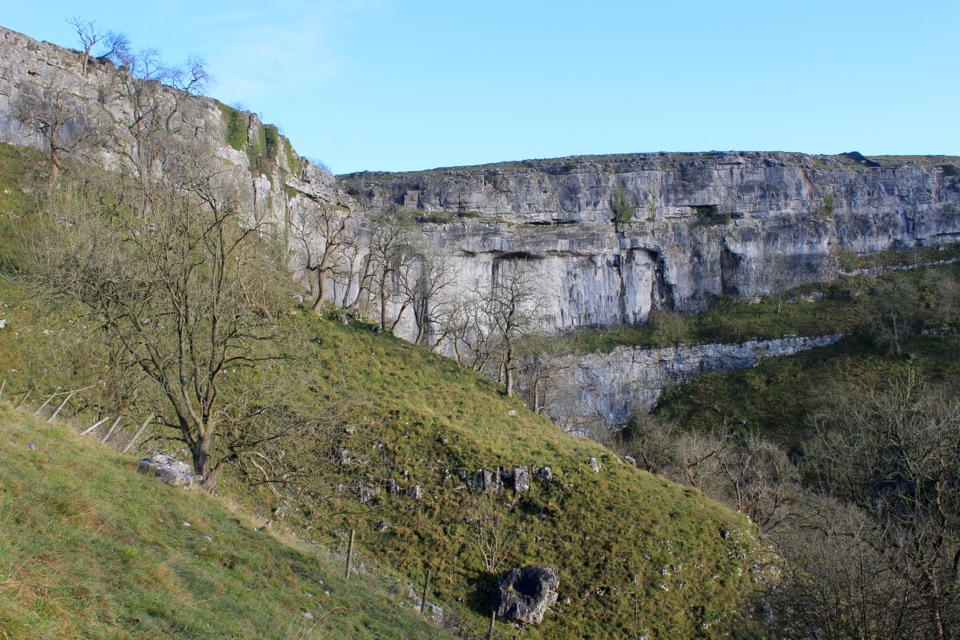
The payoff is scale and variety: the flat-topped scarps of the three peaks, the great sweep of moorland between them, and the Ribblehead viaduct arching across the valley floor. Between the hills you cross classic limestone country with pavement, shakeholes, caves and sinkholes, including the striking hollow of Braithwaite Wife Hole. Watch your footing around these features and stay away from open shafts.
The traditional start is Horton-in-Ribblesdale, using the national park public car park at BD24 0HF, grid reference SD 807 724, where there are public toilets. Parking is limited and fills very quickly on Saturdays in spring and summer, and there is no coach parking. Horton station on the Settle-Carlisle line sits close to the start and is a good alternative. The walk uses public rights of way and open access land, so no registration or permission is needed for ordinary visitors. There are no litter bins on the route, so carry everything out.
Dogs are legally allowed on this rights of way and open access route, but they must be under close control and on a short lead around livestock and through the ground-nesting bird season. Limestone pavement, caves and sinkholes are real hazards for dogs, and 24 miles is a serious ask for any animal. If the full day looks like too much, the Whernside Circular offers a single-peak route with much of the same viaduct and ridge character in a far shorter and more manageable outing.
Wildlife
 10 sightingsEurasian OtterMost seen around 7 PMSighting map
 11 sightingsAtlantic SalmonMost seen around 7 AMSighting map
 12 sightingsShort-eared OwlMost seen around 7 PMSighting map
 22 sightingsWestern Barn OwlMost seen around 6 AMSighting map
 27 sightingsTawny OwlMost seen around 7 PMSighting map
 34 sightingsCommon KingfisherMost seen around 7 AMSighting map
Sighting maps show where each species has been reported across Yorkshire Dales. Wildlife moves, so no sighting is guaranteed.
Keep exploring
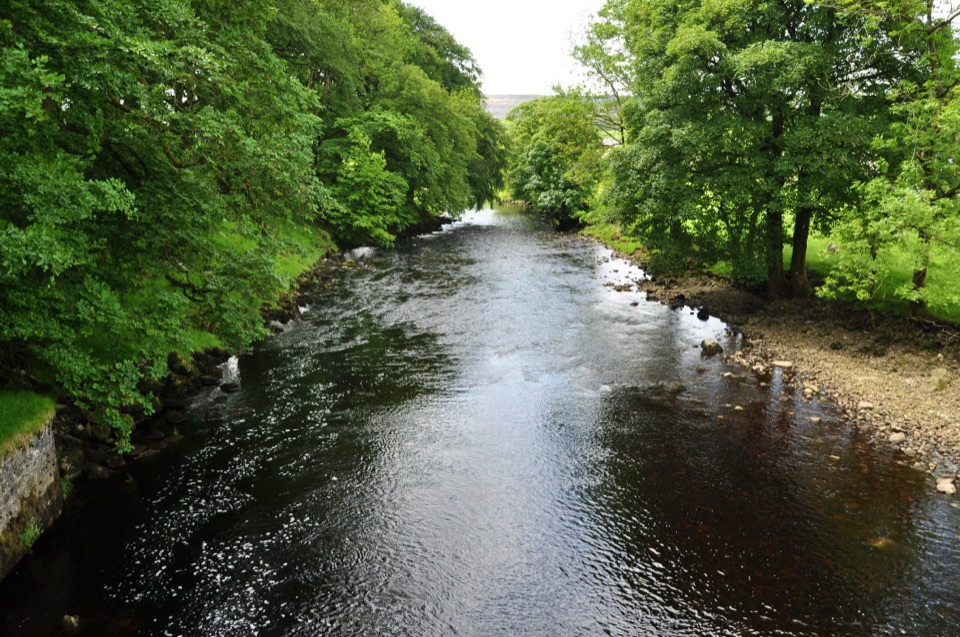 ModerateHorton-in-Ribblesdale to Settle Walk12.9 km · 3.8 hr · At the trailheadRibble-side valley walk from Horton station down to Settle station
 ModeratePen-y-ghent Circular9.7 km · 3.8 hr · 0.4 km awaySteep wall-side climb to a flat-topped summit, then a walled lane home
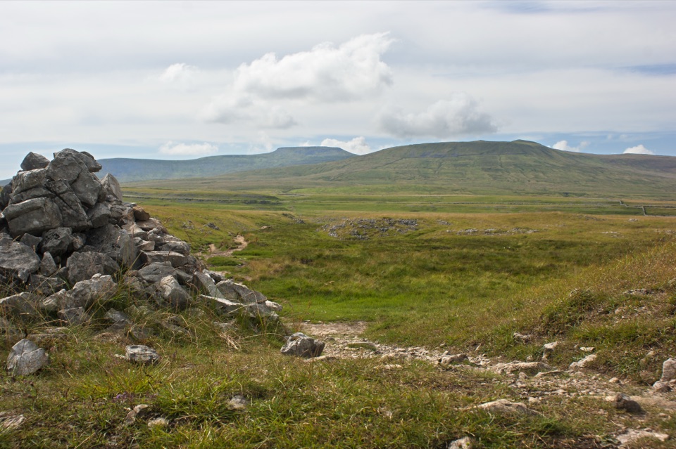 ModerateSulber Nick Accessible Walk6 km · 2.3 hr · 2.5 km awayStile-free limestone track to Sulber Gate with views over Crummack Dale
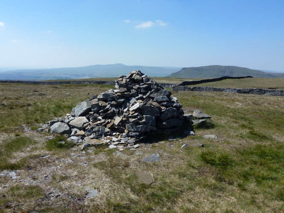 ModerateFountains Fell Trail7.9 km · 3 hr · 4.1 km awayQuiet 668m moorland circuit with cairns, old coal pits and wide views
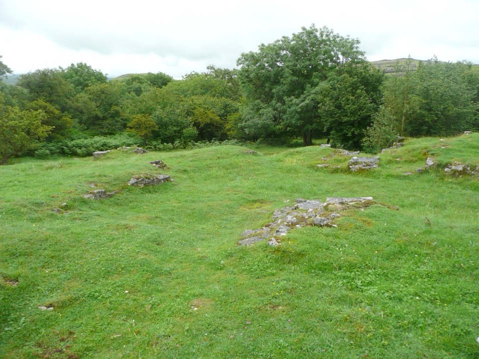 EasyWharfe Wood Trail1.6 km · 30 min · 4.4 km awayShort limestone woodland walk with spring bluebells and open Dales views
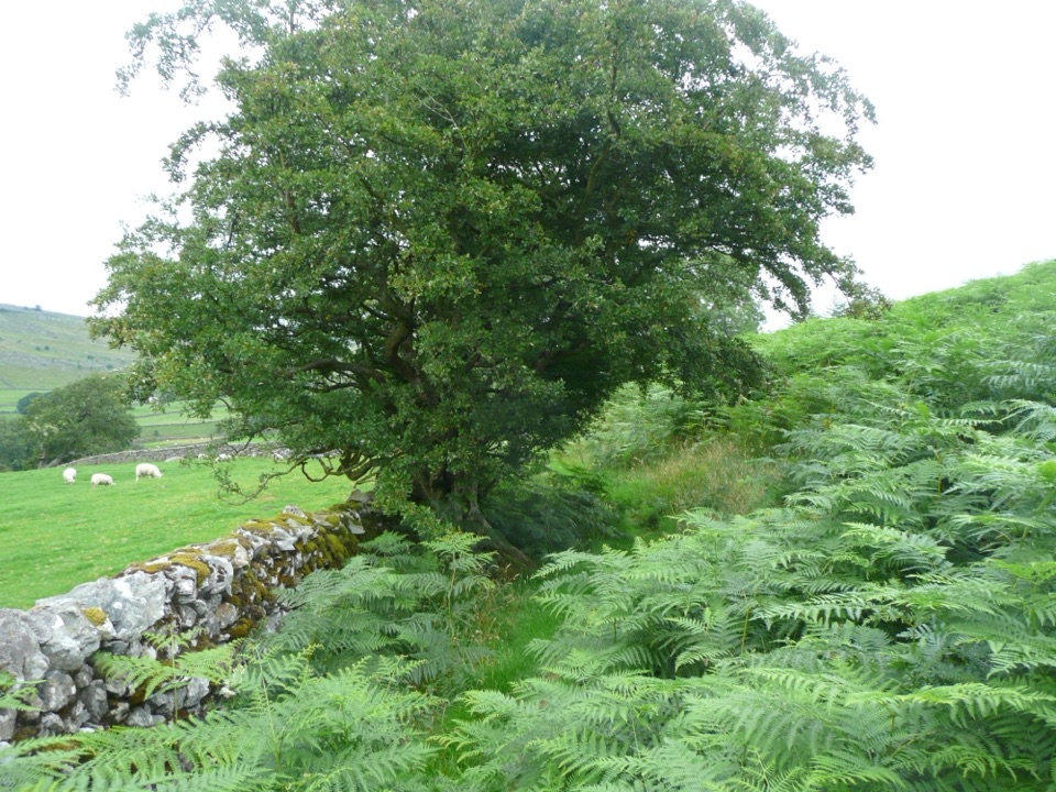 EasyOxenber Wood Trail1.1 km · 30 min · 4.6 km awayBluebell woods and old quarry ground on a half-mile point-to-point
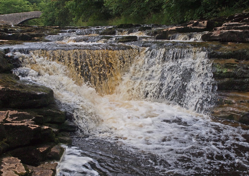 ModerateStainforth Audio Trail6.8 km · 1.8 hr · 5.5 km awayLimestone falls, riverside path and a stone village on an easy loop
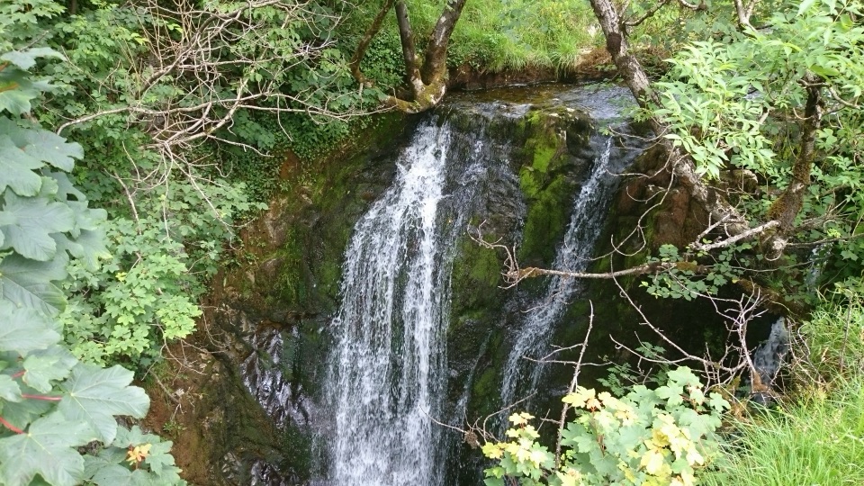 ModerateStainforth and Catrigg Force4.5 km · 1.5 hr · 5.6 km awayLimestone stairway climb to a quiet wooded waterfall above Ribblesdale
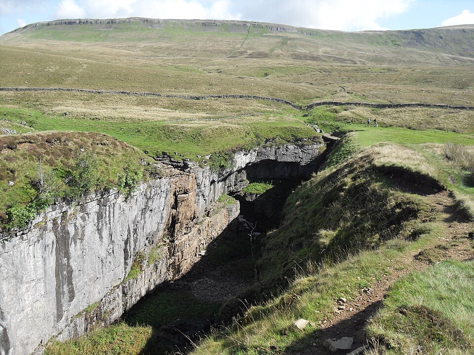 Sight · 2.8 km awayHull PotWalk in to a deep limestone chasm where a cavern collapsed
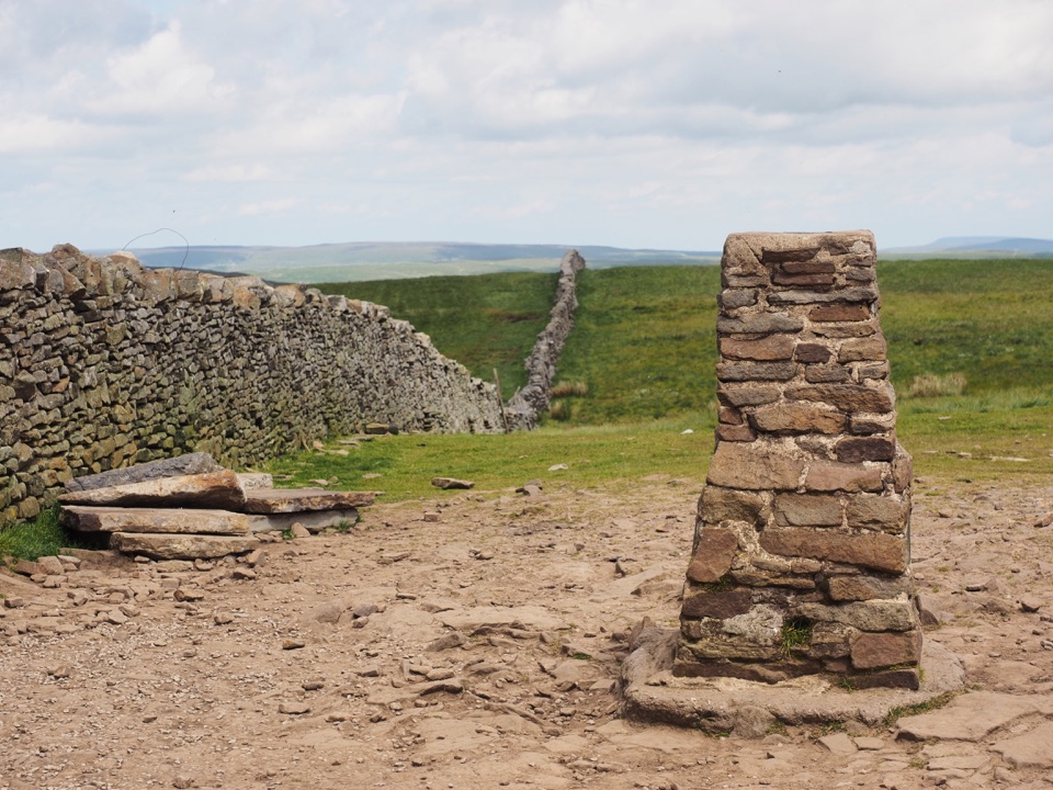 Sight · 3.5 km awayPen-y-ghent SummitStepped lion-shaped summit with a rocky scramble and huge Dales views
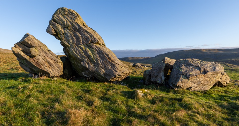 Sight · 4.6 km awayNorber ErraticsIce age boulders perched on pale limestone above a quiet dale
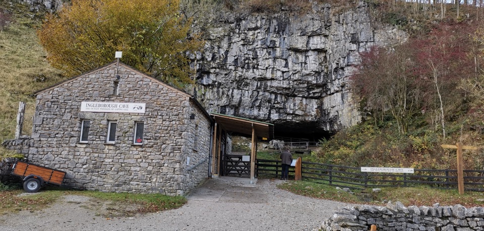 Sight · 5.2 km awayIngleborough CaveA wooded mile in, then half a kilometre of floodlit stalactites
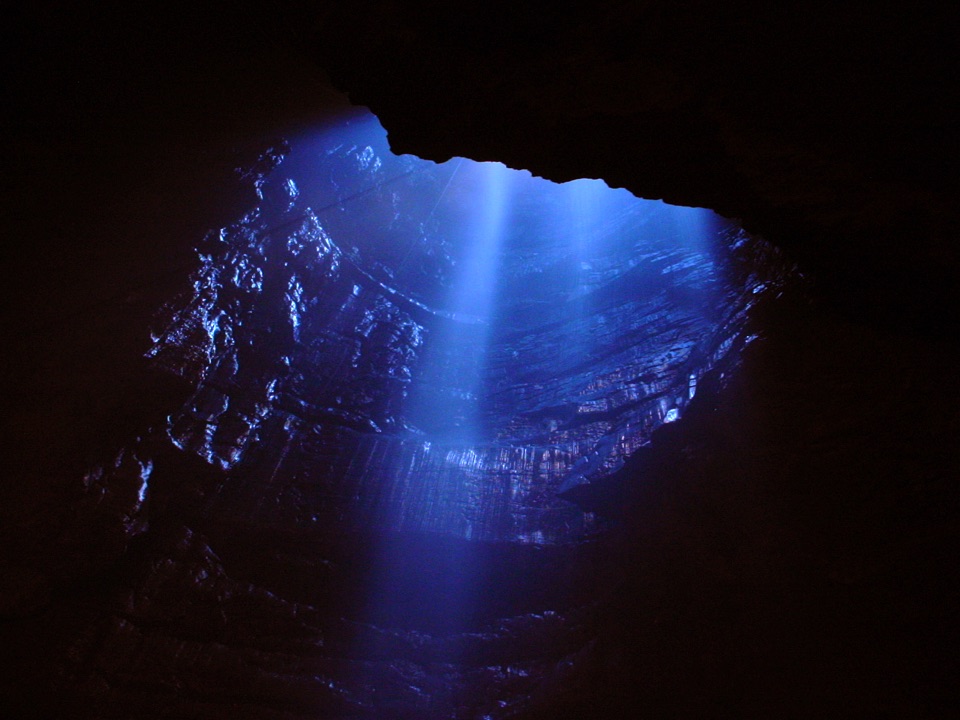 Sight · 5.3 km awayGaping GillA moorland beck vanishes 100m down into a vast hidden chamber
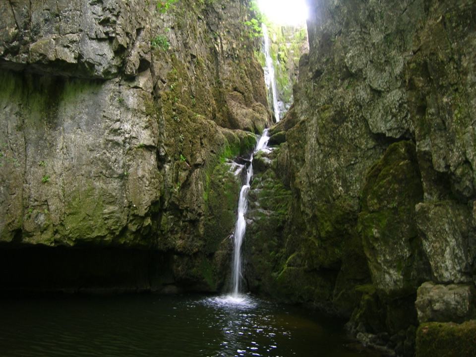 Sight · 6.2 km awayCatrigg ForceMulti-drop cascade hidden in a mossy limestone gorge above Stainforth
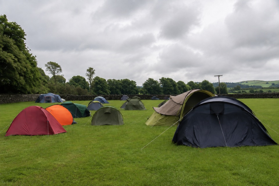 Campground · 6.5 km awayThe Dalesbridge Campsite and CabinsTen-acre camping base for the Three Peaks, with bar and pizza
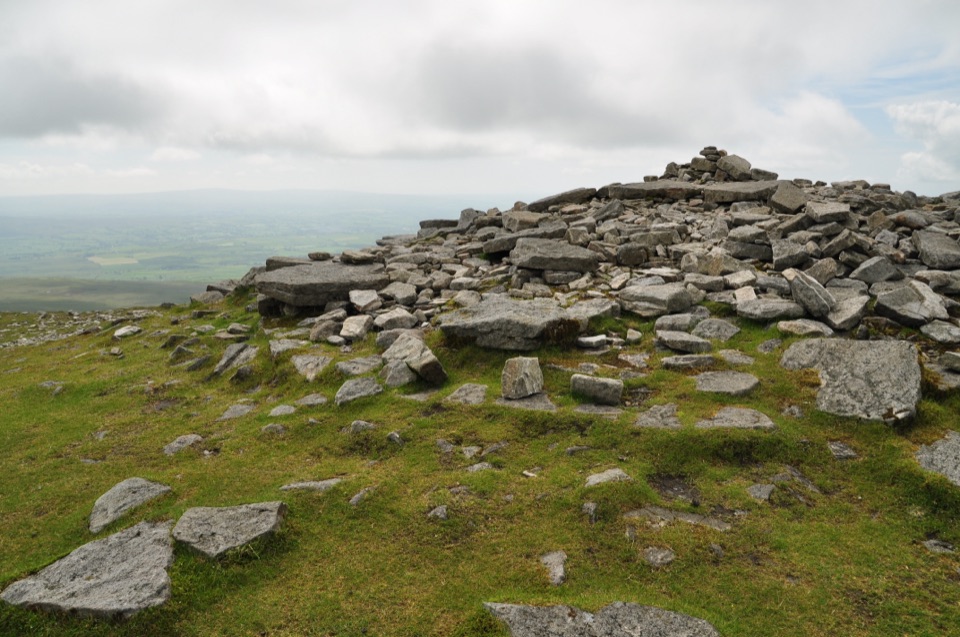 Sight · 6.5 km awayIngleborough SummitIngleborough Summit: flat gritstone plateau with an ancient hill fort
Parkwolf’s Yorkshire Dales ranking

The audio tour guide for the drive, plus offline maps, trails, and wildlife heatmaps for when the signal drops.