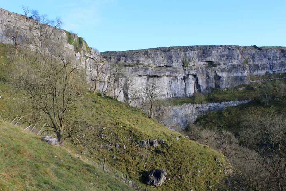
Parking
Park at the Broadwood Entrance in Ingleton, the trail’s managed starting point. The entrance has a cafe and toilets, and the exact listing address is Broadwood Entrance, Ingleton, Carnforth LA6 3ET.

#3 of 99 trails in Yorkshire Dales
Yorkshire Dales National Park, EN
Ticketed 4.3-mile loop past Thornton Force through two wooded gorges
Overview
A 4.3-mile (7 km) circular loop starting and finishing at the Broadwood Entrance in Ingleton, with a typical walking time of 2 to 4 hours. The path is well defined and signed throughout, following a one-way circuit through two separate river gorges before returning to the start.
Map & elevation
Plan your hike

The highest, rockiest slopes around here are a summer buffet for grizzly bears.
Yorkshire Dales Tour Guide
Parkwolf is a GPS audio tour guide for Yorkshire Dales National Park. As you drive, it chimes in with what’s ahead: hidden gems, upcoming stops, history, geology, and wildlife, right through your car’s speakers.
Recorded for this trailhead
Ingleton Waterfalls Trail“You're approaching the Broadwood entrance for the Ingleton Waterfalls Trail, a ticketed loop through two wooded gorges. Its four-point-three miles take two to four hours, with many damp, uneven steps.”
Plays as you drive up to this trailhead in the Parkwolf Yorkshire Dales Tour Guide.
More stories near here in the app
“Fantastic app with many points of information… It’s great to just turn on while you’re driving and it gives you an audio tour of the national Park. We love it!!!!”


Trail guide
From Broadwood the trail climbs beside the River Twiss, threading through a wooded gorge past Pecca Falls and on to Thornton Force, a 14 m fall pouring over limestone and the set-piece of the walk. The route then crosses higher, more open ground between the valleys before dropping to the River Doe, where the return leg passes Beezley Falls, Rival Falls, Baxenghyll Gorge and Snow Falls on the way back to Ingleton.
This is a moderate walk made harder by its structure rather than its distance. Expect:
Sturdy shoes or walking boots are advised. The trail is not suitable for wheelchairs or pushchairs.
The appeal is the combination of falling water and limestone: cascades stacked one after another, mossy gorge walls, and the clean horizontal rock band at Thornton Force. Much of the trail lies within a Site of Special Scientific Interest, and the gorges support rare and interesting plants alongside woodland and river wildlife. Staying on the path protects both the habitat and your footing.
Wildlife
 10 sightingsEurasian OtterMost seen around 7 PMSighting map
 11 sightingsAtlantic SalmonMost seen around 7 AMSighting map
 12 sightingsShort-eared OwlMost seen around 7 PMSighting map
 22 sightingsWestern Barn OwlMost seen around 6 AMSighting map
 27 sightingsTawny OwlMost seen around 7 PMSighting map
 34 sightingsCommon KingfisherMost seen around 7 AMSighting map
Sighting maps show where each species has been reported across Yorkshire Dales. Wildlife moves, so no sighting is guaranteed.
Keep exploring
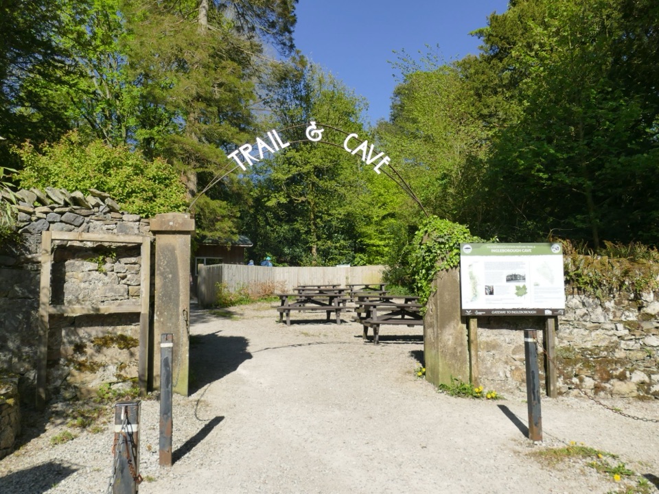 EasyIngleborough Estate Nature Trail2.1 km · 30 min · 6.5 km awayGentle 1.3-mile beck-side woodland walk to a dramatic cave mouth
 ChallengingIngleborough from Clapham16.1 km · 6 hr · 6.6 km awayGorge, cave mouth and limestone pavement on a big 723m summit day
 ModerateRibblehead Quarry Walk2.7 km · 1.3 hr · 9.2 km awayQuarry ponds, limestone pasture and a Viking farmstead in 1.68 miles
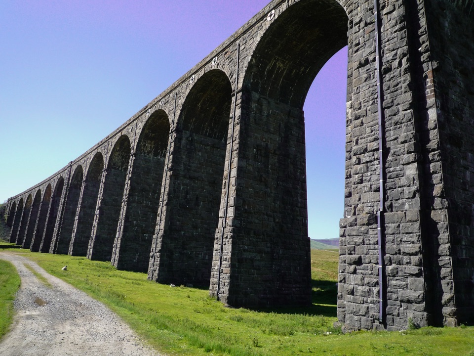 EasyRibblehead Audio Trail2.4 km · 1.5 hr · 9.2 km awayShort audio loop through navvy camps and lime kilns beneath the viaduct
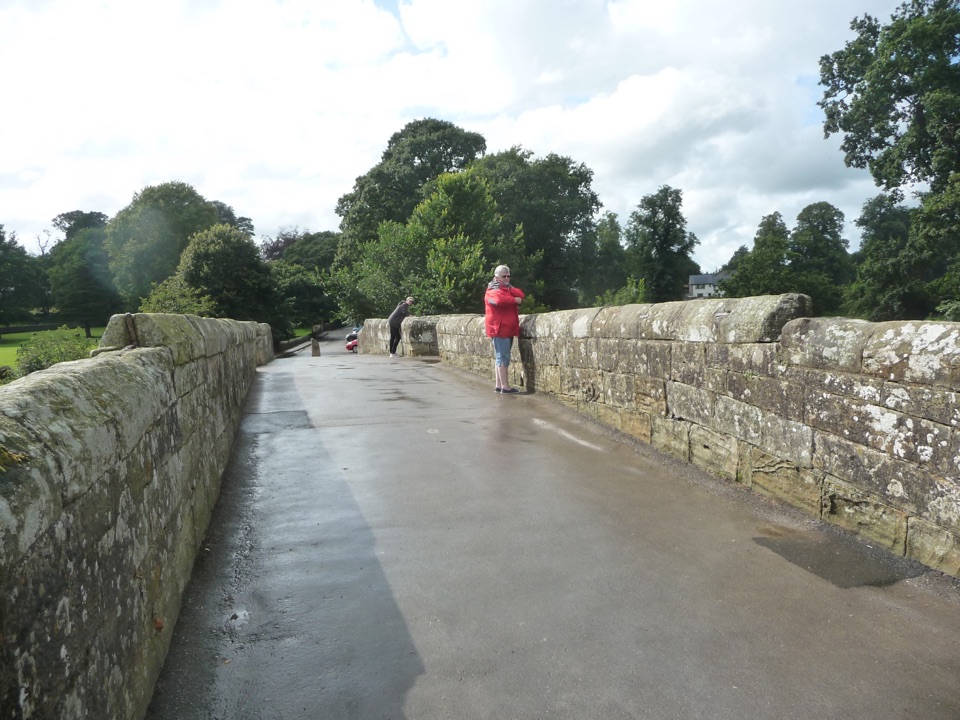 EasyDevil’s Bridge Wander2.4 km · 1 hr · 9.3 km awayThree arches, riverside paths, 86 steep steps to Ruskin's View
 ChallengingWhernside Circular12.6 km · 4.5 hr · 9.4 km awaySteep ridge loop from Ribblehead Viaduct to a 736 m fell summit
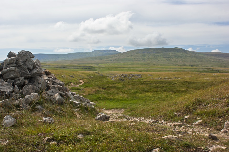 ModerateSulber Nick Accessible Walk6 km · 2.3 hr · 9.6 km awayStile-free limestone track to Sulber Gate with views over Crummack Dale
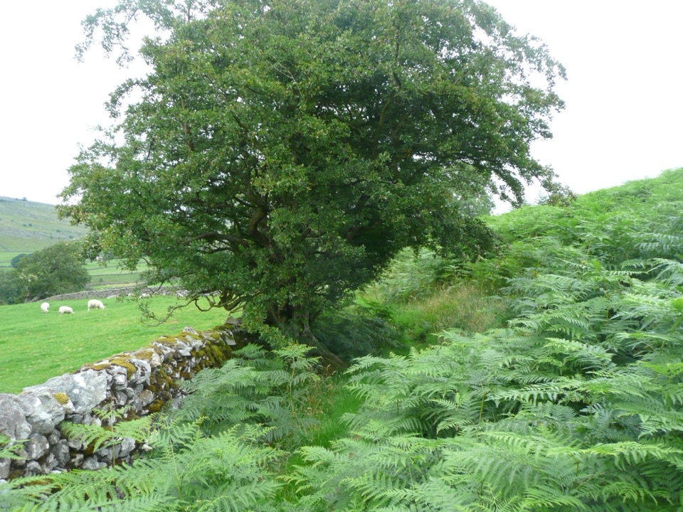 EasyOxenber Wood Trail1.1 km · 30 min · 9.8 km awayBluebell woods and old quarry ground on a half-mile point-to-point
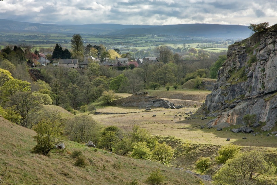 Sight · 0.2 km awayIngletonLimestone base camp for Three Peaks walks, caves and waterfalls
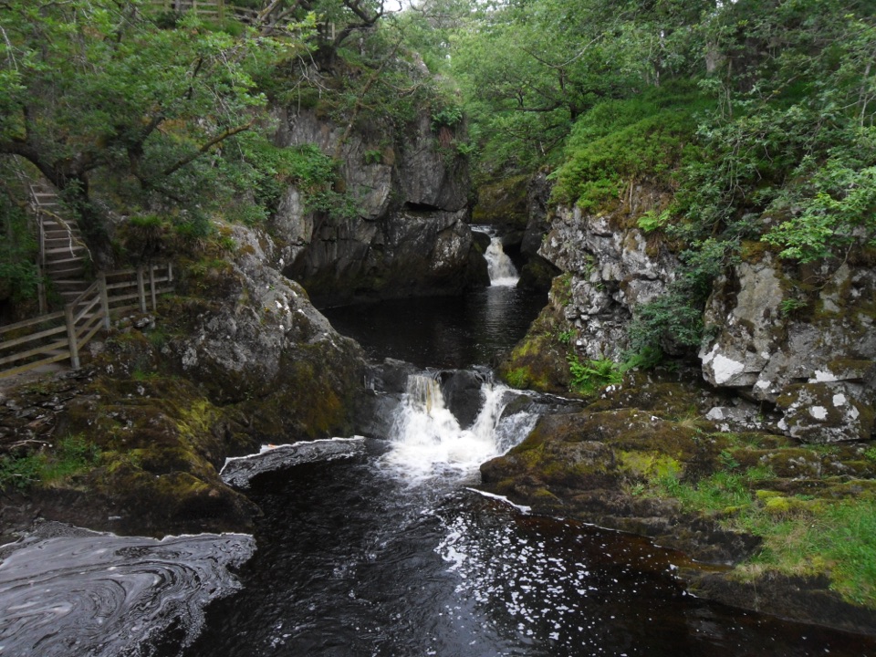 Sight · 1.9 km awayBeezley FallsCascades and Triple Spout on the River Doe in oak woodland
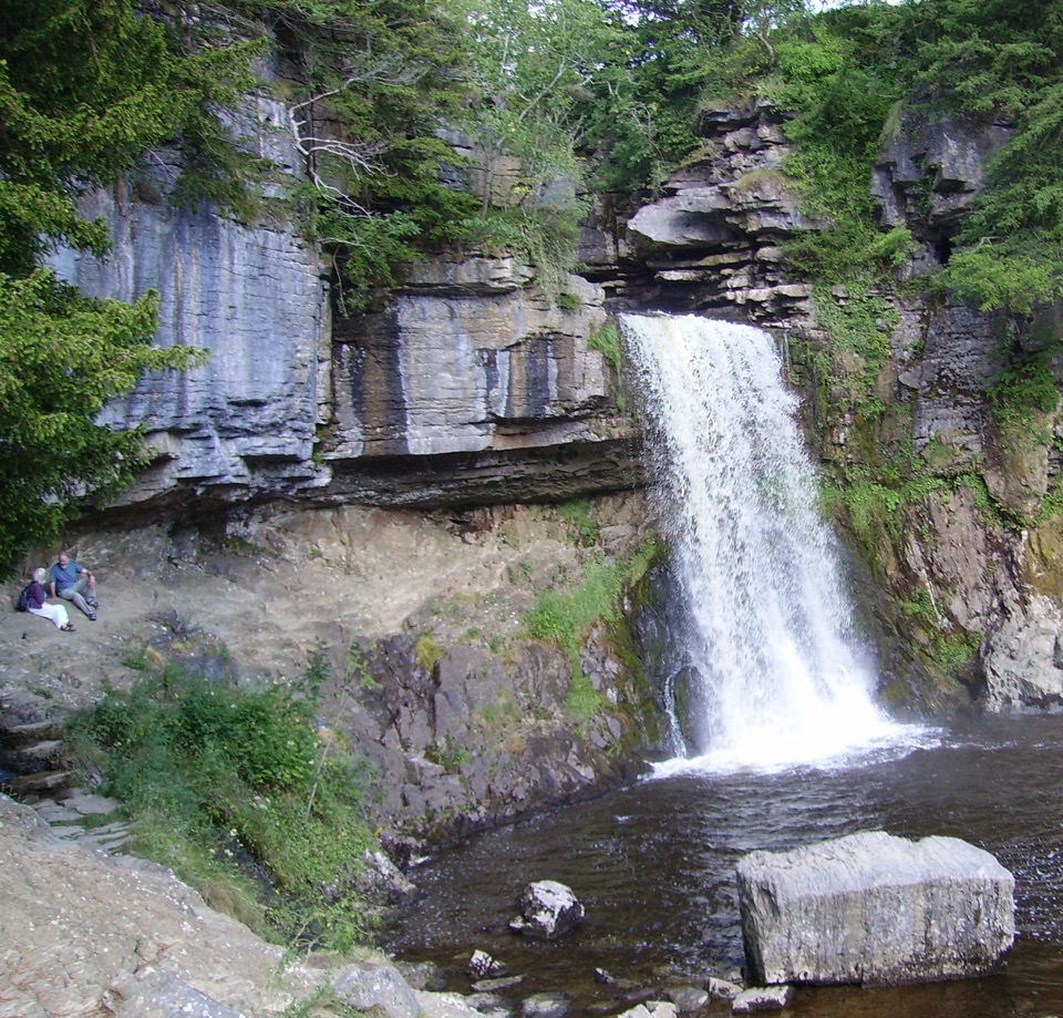 Sight · 2.1 km awayThornton ForceWater drops over 170 million years of missing geological time
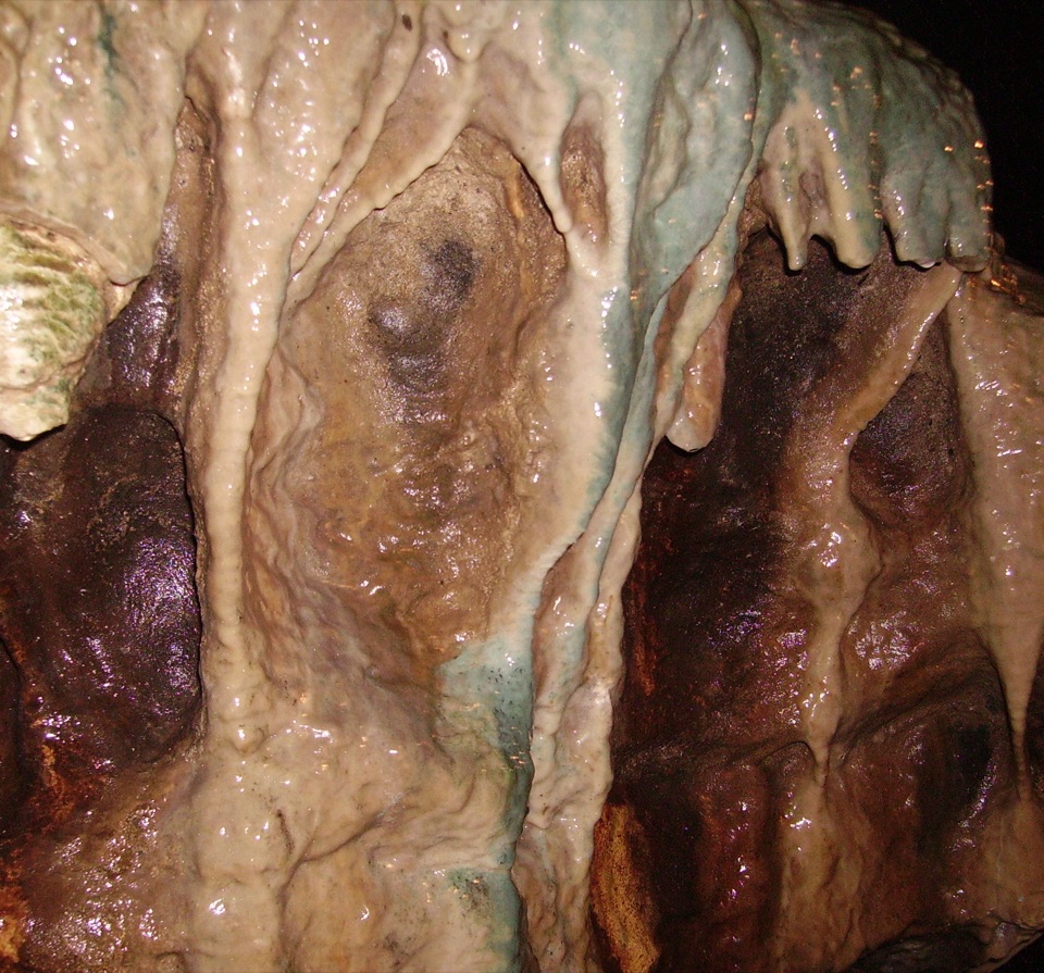 Sight · 2.3 km awayWhite Scar CaveBritain's longest show cave: a guided mile of waterfalls and stalactites
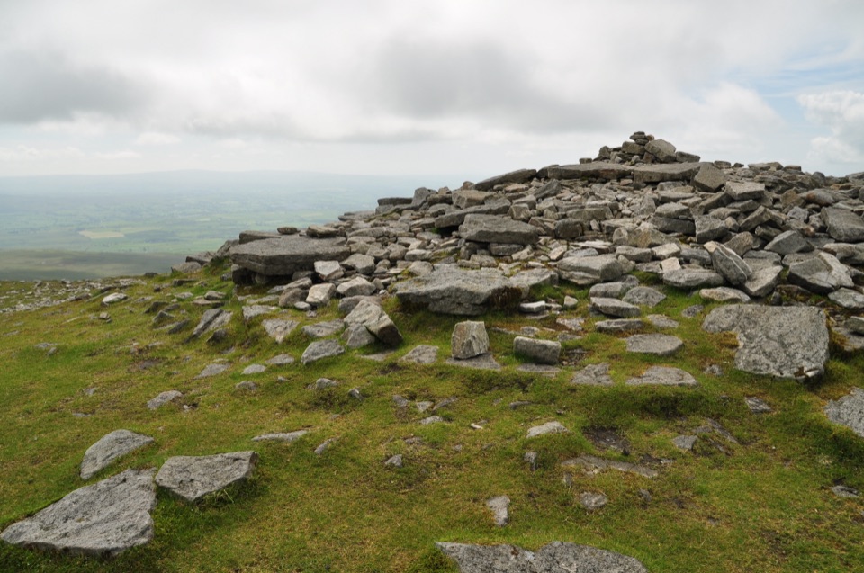 Sight · 5 km awayIngleborough SummitIngleborough Summit: flat gritstone plateau with an ancient hill fort
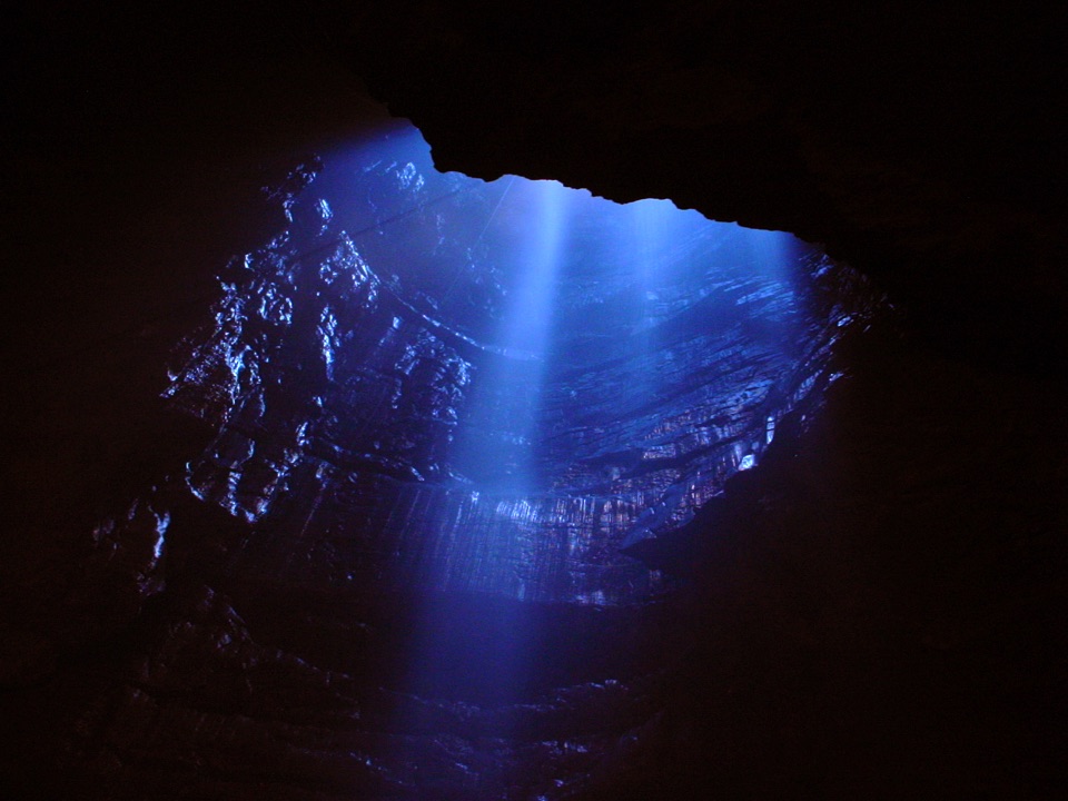 Sight · 5.8 km awayGaping GillA moorland beck vanishes 100m down into a vast hidden chamber
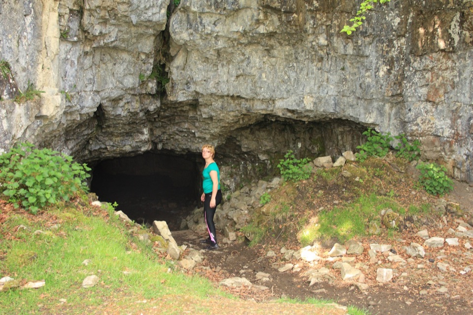 Sight · 6 km awayYordas CaveOld steps, a dark chamber and a hidden underground waterfall
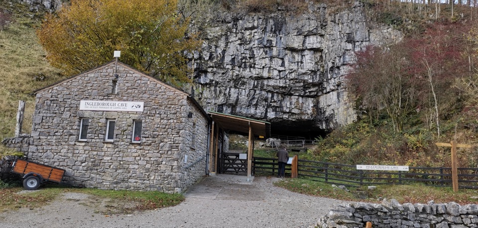 Sight · 6.5 km awayIngleborough CaveA wooded mile in, then half a kilometre of floodlit stalactites
Parkwolf’s Yorkshire Dales ranking

The audio tour guide for the drive, plus offline maps, trails, and wildlife heatmaps for when the signal drops.