Pros & cons
PROS
- Historic Valley climb with a classic Regular Route
- Short but steep approach to quiet, dramatic terrain
CONS
- No facilities at the pullout or along the approach
- Objective rockfall hazard and loose rock; experienced climbers only
Overview
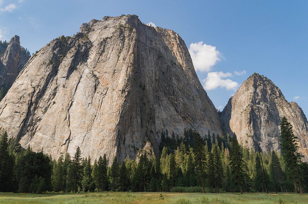
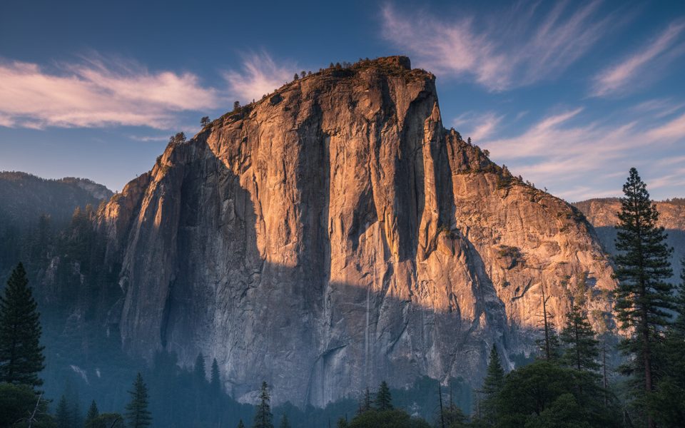
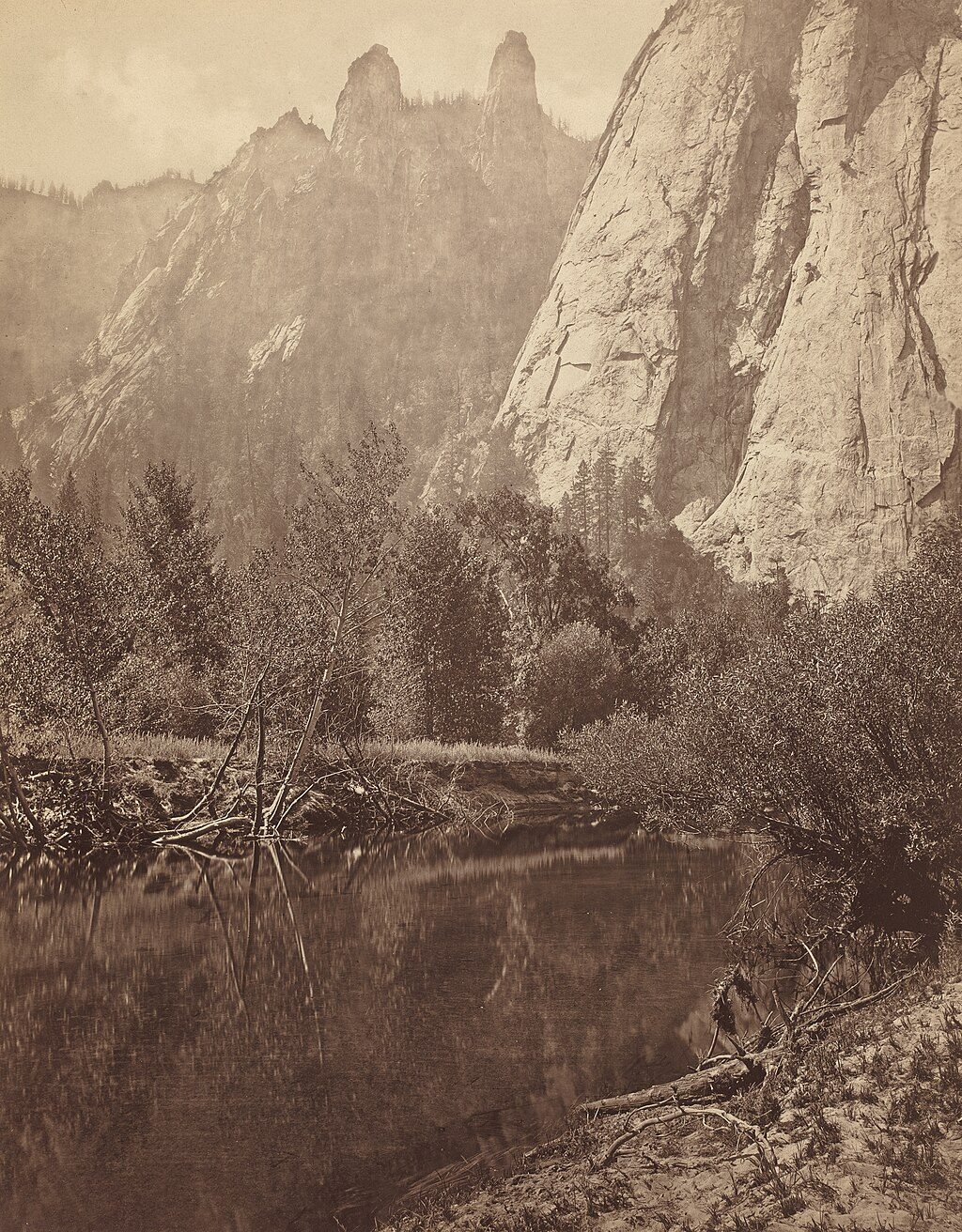
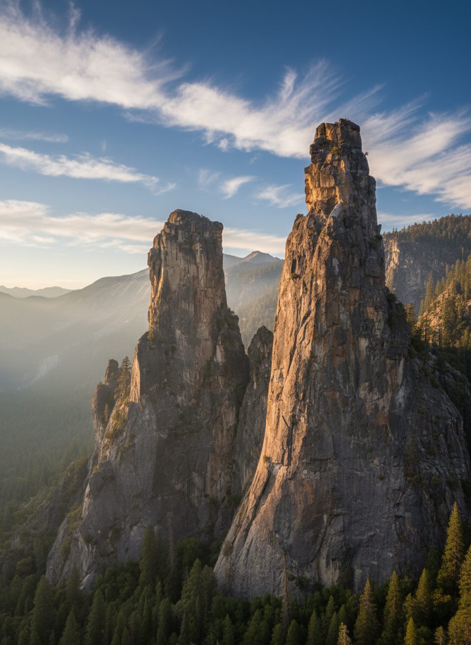
Higher Cathedral Spire is one of Yosemite Valley’s striking granite pinnacles and a piece of American climbing history. Its Regular Route was a benchmark ascent in the 1930s, helping shape modern techniques and ethics in the Valley. Expect solitude compared to the big-name walls, plus sweeping views if you top out.
Geology & Landscape
The spire is hard Sierra Nevada batholith granite, uplifted and later sculpted by glaciation. Ice carved the Valley’s steep walls and left narrow, dramatic spires where resistant rock stood above the ice. That geologic story translates into today’s reality: steep, jointed granite, big exposure, and blocks that can still loosen with time and weather.
Climbing Snapshot (Regular Route)
- Roughly 5 pitches and about 600 feet of climbing, with notable exposure.
- Suits confident 5.9 leaders; a mix of gear and some fixed piton protection.
- Plan 2–4 hours on route, plus 1–2 hours for the approach and 1–2 hours for the descent.
- Rappel descent is feasible with a single 60 m rope.
- Best overall season is May–October, conditions permitting.
Approach & On-the-Ground Realities
The climbers’ approach is short, very steep, and can feel slick on the way down. Route-finding near the top of the approach can be fussy—download an offline map or use GPS. In warm months, mosquitoes can be fierce; repellent or a head net helps.
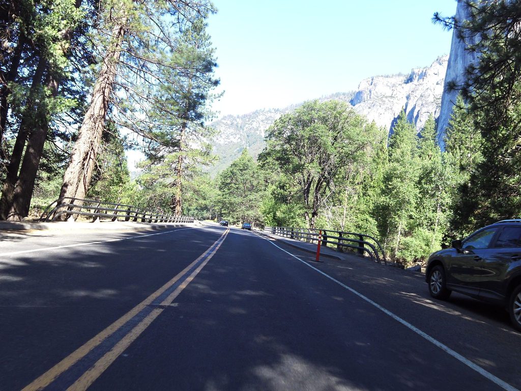
Parking is typically in roadside pullouts along Southside Drive rather than a formal lot. It’s often not crowded, but on busy days arrive early to snag a convenient spot. Don’t expect a signed trailhead or amenities here.
Hazards & Safety
Rockfall is an active, natural process in the Valley’s steep granite. Triggers include heavy rain, freeze–thaw cycles, and strong solar heating. Wear helmets from the car, avoid lingering under walls, and be extra cautious after storms or heat waves—giving the wall time to stabilize is smart. Expect some loose rock on route and on the approach/descent.
Facilities, Water, and Supplies
There are no restrooms or water at the pullout or on the approach. Use major Valley facilities before you head over, bring all the water you need, and pack out all trash. If nature calls in the backcountry, follow Leave No Trace practices.
Best Time to Visit
- Season: May–October generally offers the best window for dry rock and manageable temperatures.
- Time of day: Start early for cooler temps, easier parking, and to reduce time under sun-warmed rock when rockfall risk can increase.
- After storms or heat spikes: Build in a buffer day before committing to the wall.
Where it is
37.7135, -119.6327Tips for Higher Cathedral Spire
- 01Wear helmets from the car and avoid lingering under the walls.
- 02Start early for cooler temps and easier roadside pullout parking.
- 03Download an offline map or use GPS; the upper approach can be confusing.
- 04Bring ample water and bug repellent in warm months.
- 05If climbing the Regular Route, a single 60 m rope works for the rappels.
Amenities
Near Higher Cathedral Spire
All places →All trails →
0 mi awayCathedral SpiresSlender granite towers flanking Cathedral Rocks, best from Tunnel ViewPullout · Parking
0.3 mi awayCathedral RocksDramatic granite spires beside Bridalveil Fall, best seen from Tunnel ViewScenic Viewpoint · Pullout
0.7 mi awayHigher Cathedral RockClassic granite climbing on the south Valley’s Cathedral RocksPullout · Trailhead
0.7 mi awayEl Capitan BridgeRustic 1933 bridge with classic El Capitan river viewsPullout · Parking
1 mi awayBridalveil Fall TrailShort, paved stroll to a misty 620-foot waterfall and rainbowsEasy · 0.5 mi · 20 min
2.2 mi awayFour Mile TrailNonstop switchbacks to Glacier Point with Yosemite’s best valley views.Challenging · 4.8 mi · 3.5 hr
2.4 mi awayThe Pohono TrailSouth rim mega-view walk from Glacier Point to Tunnel View.Challenging · 13 mi · 7.5 hr
2.5 mi awayArtist Point TrailTunnel View panorama without the crowd, via a short steep climb.Easy · 2 mi · 1.3 hr