
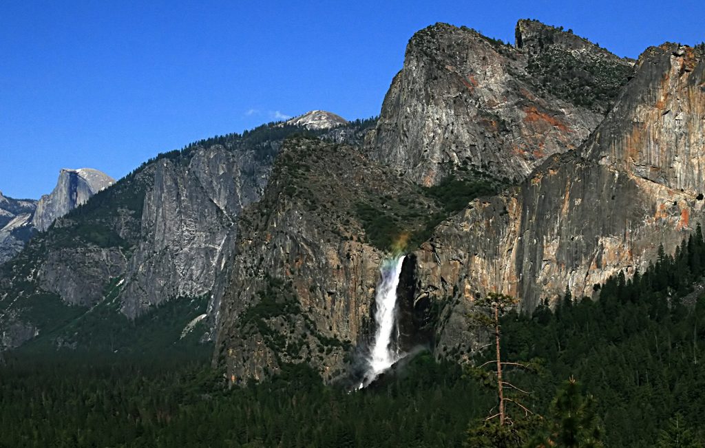
Place · 0.3 mi away
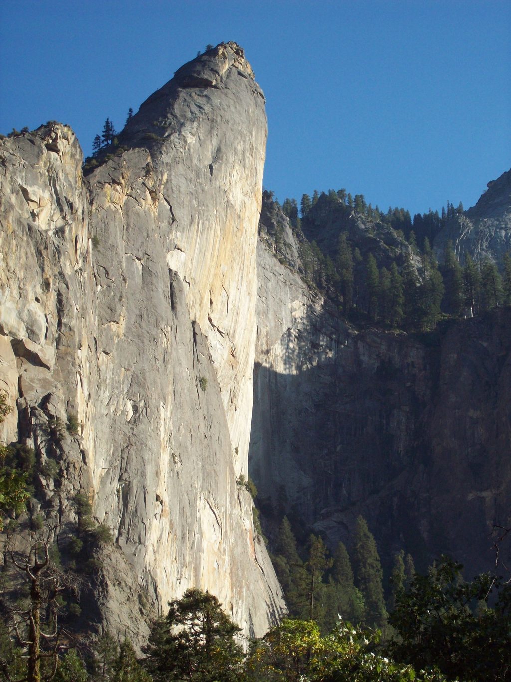
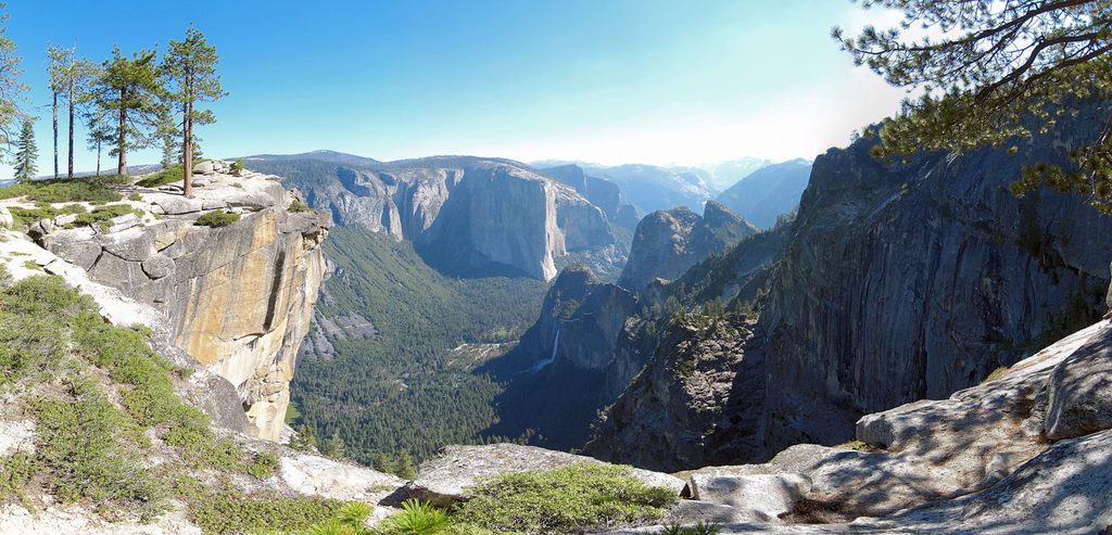
Just west of Bridalveil Fall on the south side of the Merced River, the Leaning Tower is one of the Valley’s steepest pieces of granite—continuously overhanging on the lower wall and still steep up high. Climbers come for the improbable geometry and the sense of hanging in space; non-climbers mostly admire it from below.
This is a big-wall playground where the exposure feels otherworldly. The West Face is a classic “first wall” for aid climbers thanks to generous ledges like Ahwahnee, yet the steepness keeps things exciting. The wall’s overhang often keeps you dry in light rain, and the position serves up vast views.
Expect primarily aid climbing on the standard lines (with short free sections), plus harder aid and stout free routes for experts. Fixed gear can change; some pitches may feel straightforward if well-equipped, or more heads-up if things are sparse. Followers should be ready for traverses and lower-outs.
From the Bridalveil Fall parking area, a climbers’ path and talus lead up to exposed 3rd/4th-class catwalks to reach the start. Many teams fix a line here, especially if hauling. There’s a flat, shaded bivy for a few people near the catwalks, and on-route bivies are highlighted by the roomy Ahwahnee Ledge. Pack out all waste.
From the summit, you’ll make multiple rappels down chimneys and gullies with loose rock. Many stations require two ropes, and skipping anchors can lead to stuck ropes. Keep haul bags beneath you on the steep rappels. Water may be accessible near Bridalveil Creek at the very top—use extreme caution near the brink.
The wall is generally shaded in the morning and sunny in the afternoon, which matters for heat management and water planning. Seasonal peregrine falcon closures commonly affect this formation from roughly March 1 through mid-July; always check current restrictions before committing to a climb.
Sort gear at the Bridalveil parking area, which has restrooms and bear boxes; overnight parking there is typically not allowed, so expect to park down the road at a legal pullout. There is no potable water at the base and no services on the approach—bring everything you need, secure food properly, and plan for self-sufficiency.
Climbers do best with an alpine start: better parking, cooler temps in the morning shade, and a buffer for complex hauling or slow aid. Shoulder seasons outside raptor closures are ideal. On busy weekends, plan extra time for parking and approaches; late-day light can be beautiful from the wall but slows route-finding and increases objective hazards in the descent.
Place · 0.3 mi away
Place · 0.6 mi away
Place · 0.6 mi away
Place · 0.8 mi away
Easy · 0.3 mi away
Challenging · 1.6 mi away
Easy · 1.6 mi away
Challenging · 2.9 mi away

Parkwolf Tour Guide
