Pros & cons
PROS
- Panoramic rim views of El Capitan, Cathedral Rocks, and the high country
- Year-round access via summer hike or winter snowshoe/ski routes
- Quieter than most Valley viewpoints
CONS
- No toilets, water, or trash cans at the point or along the summer route
- Final climb back to Glacier Point Road feels steep when you’re tired
Overview
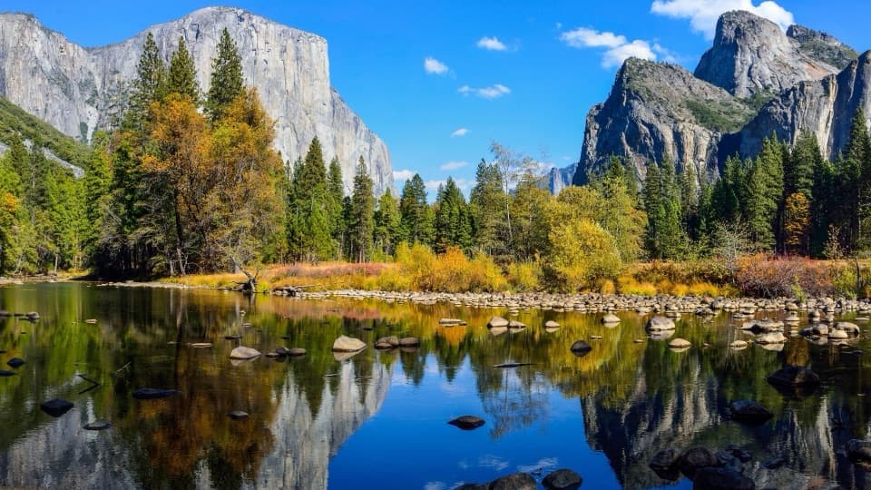
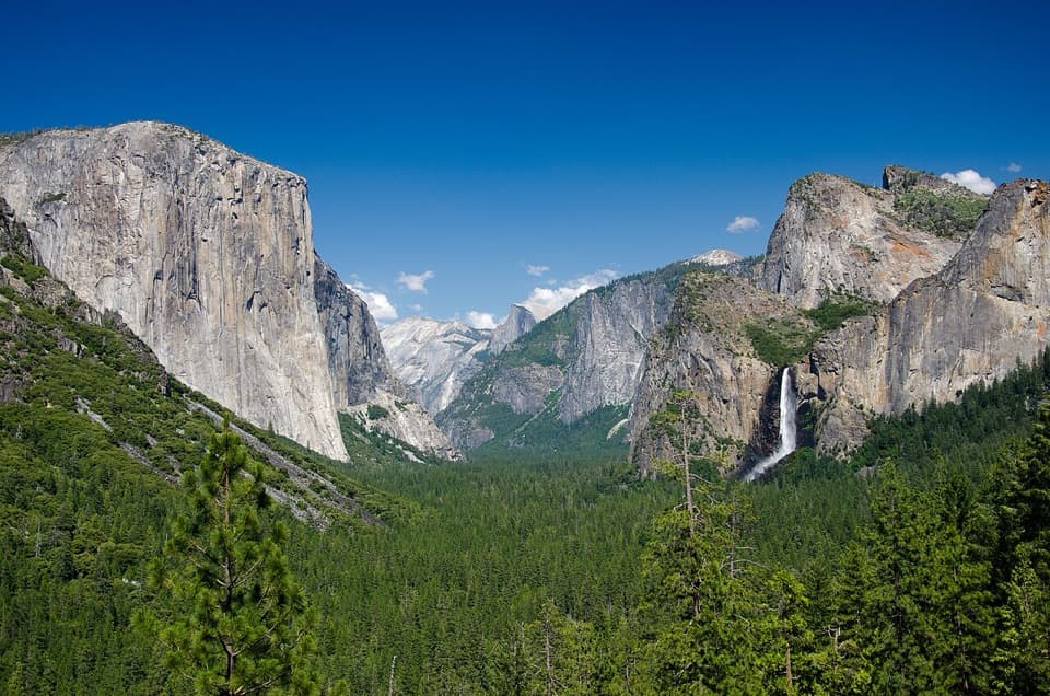
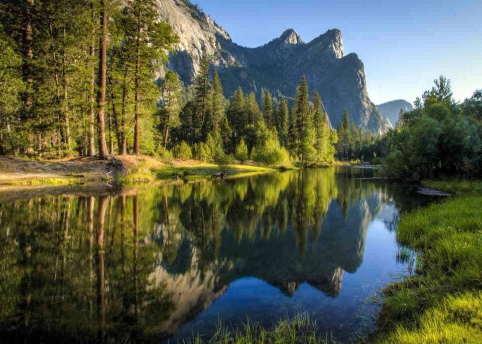
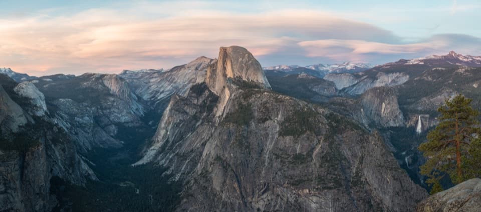
Dewey Point sits on the south rim with a front-row look at El Capitan, Cathedral Rocks, and a slice of Half Dome, plus wide-open views toward the high country. It’s the kind of overlook that rewards you with big scenery and far fewer people than the famous roadside stops.
Routes and Difficulty
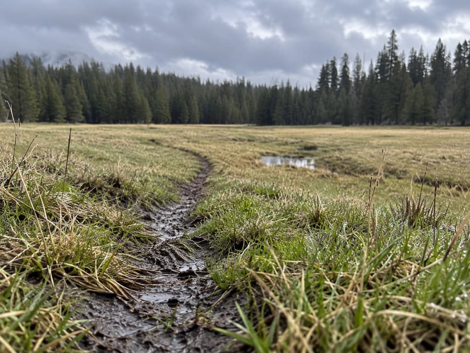
- Summer (when Glacier Point Road is open): Start from the McGurk Meadow trailhead. It’s roughly 7.7–8.3 miles round trip with about 900–1,400 feet of gain, generally considered moderate. Expect a cool forest descent to McGurk Meadow, a junction with the Pohono Trail, then a mostly gradual climb to the rim. The sting in the tail is the short, steeper climb back up to the road on your return.
- Winter (when the road closes beyond Badger Pass): Snowshoe or cross-country ski from Badger Pass on groomed routes, then follow the Ridge Route (#14) or Meadow Route (#18) to Dewey Point. In good snow, it’s a classic Yosemite winter day with rim-top vistas over a snowy Valley.
What You’ll See
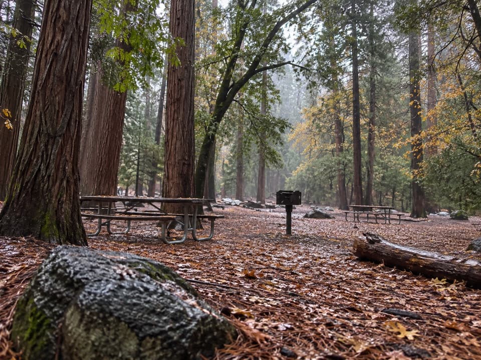
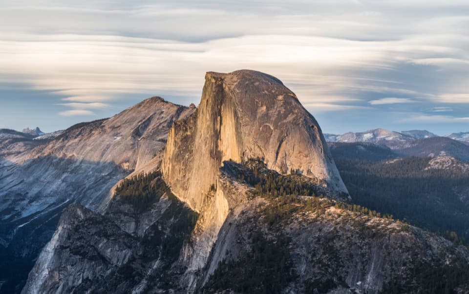
The approach mixes shady red fir and pine forest with open meadows, then breaks onto the rim for sweeping panoramas. On clear days you’ll pick out El Capitan’s prow straight across the Valley; Half Dome shows in the distance, partially screened by the Glacier Point area. In early summer, meadows can be lush and lively with wildflowers and butterflies. Keep an eye out for deer and small critters; bears are possible—give them space and store food properly if you’re backpacking.
Trail Character and Experience
This is a quieter stretch of Yosemite’s rim. Past the first miles from the trailhead, hiker traffic thins and you can often sit at the point in relative peace. Sections can be brushy or exposed—sun protection and long pants are smart. Altitude hovers around 7,000–7,500 feet, so pace yourself if you’re coming straight from lower elevations.
Extensions
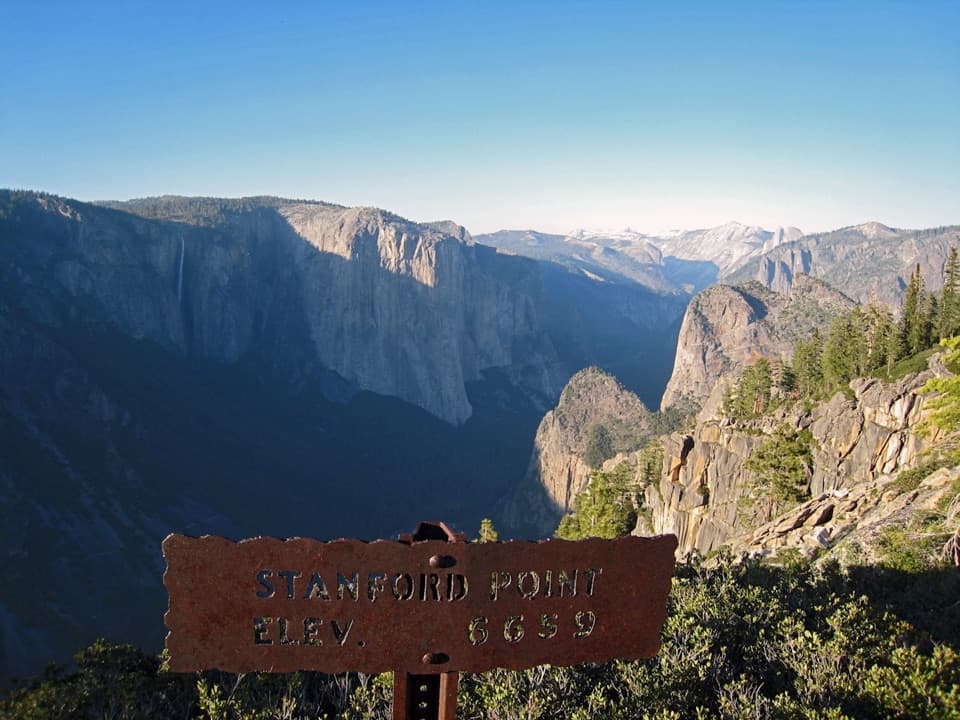
If you’re feeling strong, continue west on the Pohono Trail to Crocker Point and Stanford Point for more angles into the Valley. Crocker Point offers a perspective reminiscent of Tunnel View, while Stanford Point pushes the panorama even farther.
Logistics and Amenities
- Parking: Along Glacier Point Road at the signed McGurk Meadow trailhead.
- Facilities: None on the summer route or at the point (no toilets, water, or trash cans). In winter, there’s a pit/vault toilet at Summit Meadow along the groomed road from Badger Pass.
- Regulations: Dogs aren’t allowed on this trail. Backpacking requires a wilderness permit and proper food storage. Cell service is spotty to none.
Safety Notes
Expect lingering snow or mud early season and icy or snowy conditions in winter—snowshoes are often necessary then. Trekking poles help with the return climb and in slick conditions. Bridalveil Creek is a reliable water source for backpackers; always treat water.
Best Time to Visit
- Summer/fall: Go early to enjoy cool shade on the approach and calmer winds at the rim; midday light is harsh for photography.
- Winter: Pick clear, stable weather after a storm for crisp views and firm snow. Check current conditions from Badger Pass before heading out.
A Bit of History
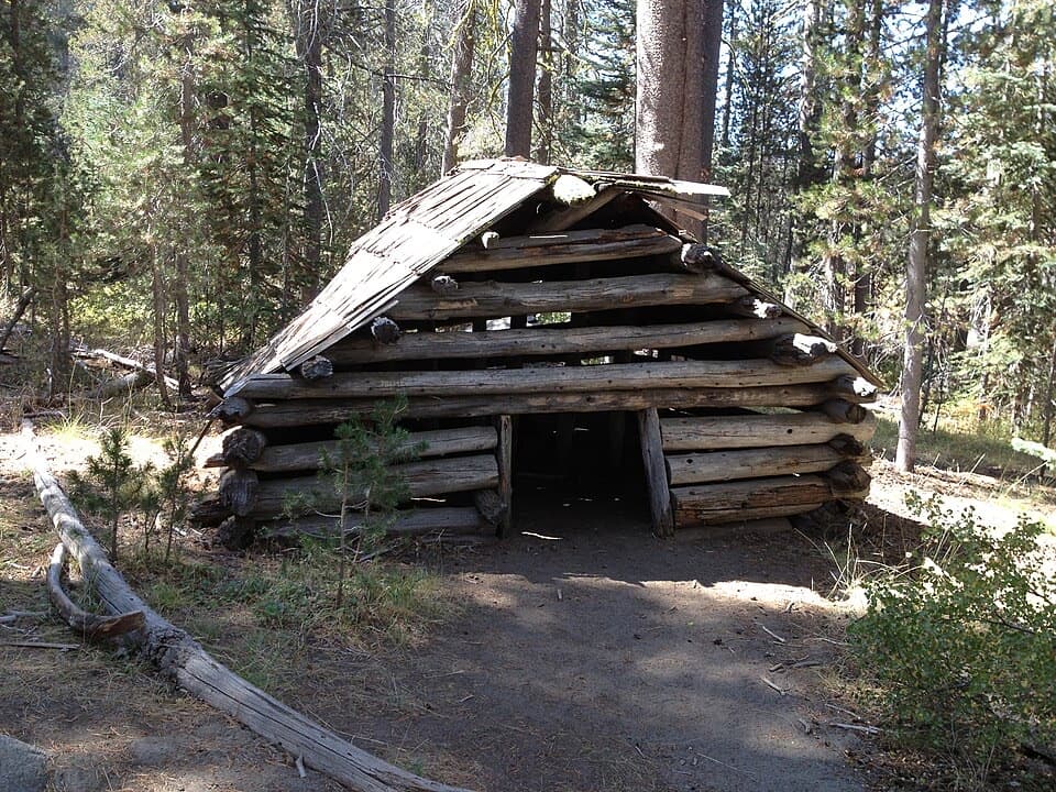
On the way in, you’ll pass the site of John McGurk’s old cabin near McGurk Meadow—a reminder of the corridor’s grazing and early settlement era.
Where it is
37.7046, -119.6502Tips for Dewey Point
- 01Start early for cool shade on the approach and calmer rim winds.
- 02Carry all the water you need; treat any natural sources if used.
- 03Wear sun protection and long pants—sections can be exposed and brushy.
- 04Trekking poles make the final climb back to the road much easier.
- 05In winter, check Badger Pass conditions and choose the Ridge (#14) or Meadow (#18) route; snowshoes are often necessary.
Amenities
Near Dewey Point
All places →All trails →
0.5 mi awayCrocker PointQuiet rim overlook with knockout views of Bridalveil Fall and El CapitanScenic Viewpoint
0.6 mi awayLeaning TowerOverhung granite big wall with airy ledges and morning shadeRestroom · Parking
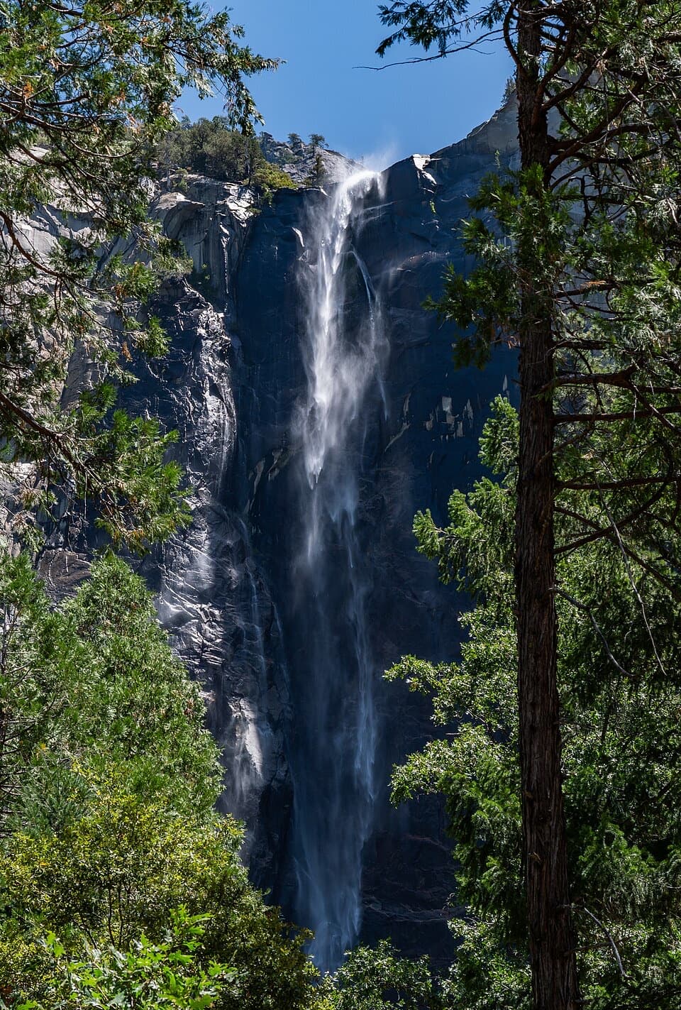
0.8 mi awayBridalveil Fall TrailShort, paved stroll to a misty 620-foot waterfall and rainbowsEasy · 0.5 mi · 20 min
0.9 mi awayBridalveil FallShort walk to a thundering 620‑foot waterfall and rainbow mistTrailhead · Parking
0.9 mi awayStanford PointQuiet south rim overlook with El Capitan and Half Dome viewsScenic Viewpoint
1.6 mi awayThe Pohono TrailSouth rim mega-view walk from Glacier Point to Tunnel View.Challenging · 13 mi · 7.5 hr
1.7 mi awayArtist Point TrailTunnel View panorama without the crowd, via a short steep climb.Easy · 2 mi · 1.3 hr
2.6 mi awayDewey Point via McGurk Meadow TrailQuiet rim views over El Cap from a wildflower meadow approachModerate · 7.8 mi · 4.5 hr