Pros & cons
PROS
- Handy stop for current trail and safety info from backcountry rangers
- Merced River water nearby if you bring treatment
CONS
- No potable water or services; very basic outpost
- Permits aren’t issued here—get them at a wilderness center
Overview
This is the small backcountry outpost in Little Yosemite Valley (LYV)—a natural pause point for Half Dome and Merced Lake backpackers. It’s a place to touch base with rangers for conditions and safety updates, not a full-service facility. Typical open hours run 9 AM–5 PM.
What You’ll Find (and What You Won’t)
- Information and ranger guidance: great for trail, safety, and conditions questions.
- No permit pickup here. Wilderness permits are issued in the frontcountry at the Yosemite Valley Wilderness Center, Tuolumne Meadows Wilderness Center, Big Oak Flat Information Station, Wawona Visitor Center at Hill’s Studio, and (in winter) Badger Pass Ranger Station.
- No potable water. The nearby Merced River is your source—treat before drinking.
Water and Nearby Facilities in LYV
- Water: Draw from the Merced River and treat it (filter rated for giardia, boil, or iodine). Use established access paths; do all washing 100+ feet from water and never use soap in the river.
- Toilets: A composting toilet is near the LYV campground.
- Food storage: Communal bear lockers are available in the LYV camping area; keep all food and scented items secured and don’t padlock lockers.
- Fires: Allowed only in the two communal fire rings just outside the LYV campground; use small dead-and-downed wood and never burn trash.
Bears and Safety
Black bears are frequent in Little Yosemite Valley. Keep at least 50 yards away, store all food properly, and pack out trash. Stay situationally aware around cliffs and domes; heed any posted closures or ranger guidance.
Permits and Who Should Stop Here
- Overnight trips anywhere in Yosemite’s wilderness require a wilderness permit.
- If your permit starts at Happy Isles to Little Yosemite Valley or Glacier Point to Little Yosemite Valley, your first night must be at the LYV campground.
- Half Dome requires a separate permit for day hikers and backpackers.
Getting Here and Trailhead Notes
Most visitors pass this outpost while backpacking through LYV en route to Half Dome or deeper into the Merced watershed. If you’re starting in the Valley, Happy Isles has flush toilets and drinking water to top off before the climb. Glacier Point starts offer vault toilets and seasonal drinking water in summer.
Best Time to Visit
Swing by during open hours (typically 9 AM–5 PM) as you pass through LYV—early in the day if you want the latest trail or weather updates before committing to big mileage, or later when settling into camp.
Where it is
37.7333, -119.5139Tips for Little Yosemite Valley Ranger Station
- 01Don’t plan to pick up permits here—secure them at a wilderness center before you go.
- 02Carry a giardia-rated filter or equivalent; the Merced River is your only water source.
- 03Top off at Happy Isles before the climb; it has flush toilets and drinking water.
- 04Use the LYV bear lockers for all food and toiletries and never padlock them.
- 05Ask rangers about current trail, weather, and rockfall advisories before big objectives.
Amenities
Near Little Yosemite Valley Ranger Station
All places →All trails →
0 mi awayBackpackers Campground (Little Yosemite Valley)Popular wilderness basecamp with river water, lockers, and composting toiletCampground · Restroom
0.9 mi awayLittle Yosemite ValleyPopular backcountry base camp below Half Dome along the MercedCampground · Restroom
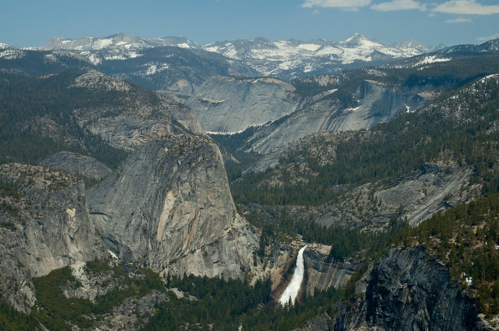
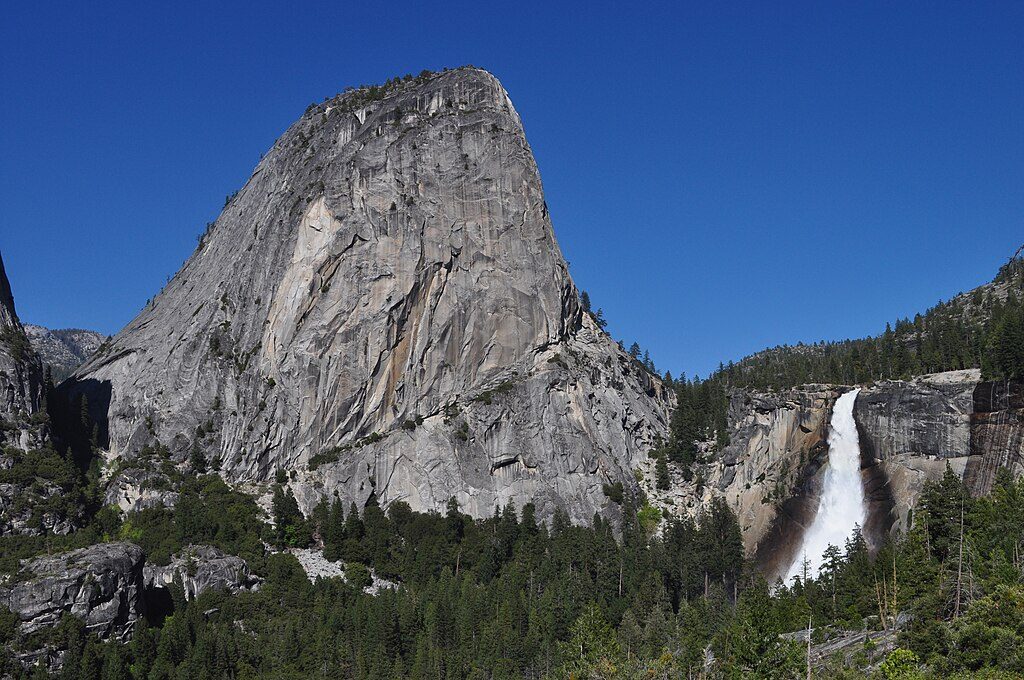
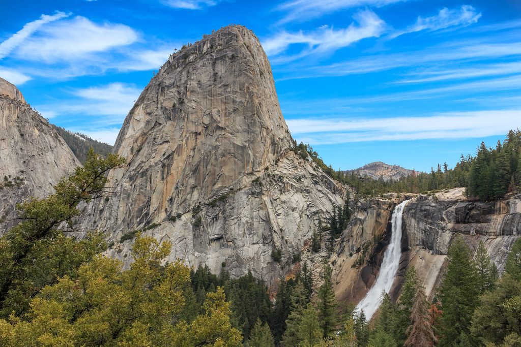
1.1 mi awayLiberty CapGranite dome beside Nevada Fall, best seen from the JMTScenic Viewpoint · Restroom
1.2 mi awayNevada FallThundering 594‑ft cascade with huge views after a stout climbScenic Viewpoint · Restroom
2.3 mi awaySnow Creek TrailThe steep grind to Half Dome views and a quiet rim escape.Challenging · 9.4 mi · 6.5 hr
2.4 mi awayJohn Muir TrailIconic Sierra trek from waterfalls to high granite passesChallenging · 211 mi · 504 hr
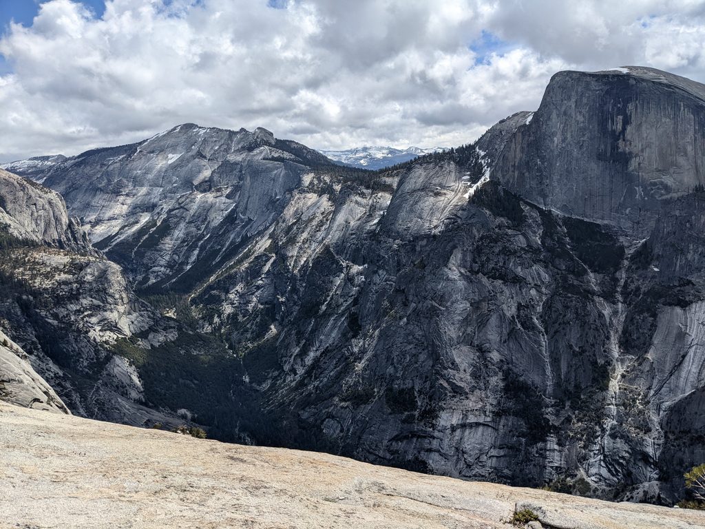
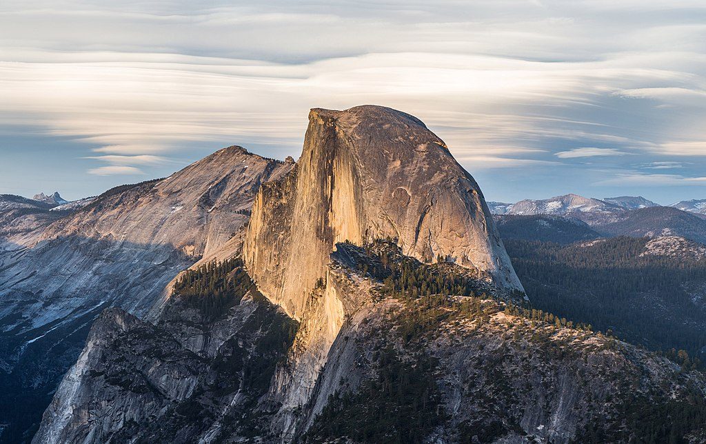
2.4 mi awayHalf DomeBucket-list grind to an airy summit via waterfalls and cablesChallenging · 14 mi · 12 hr
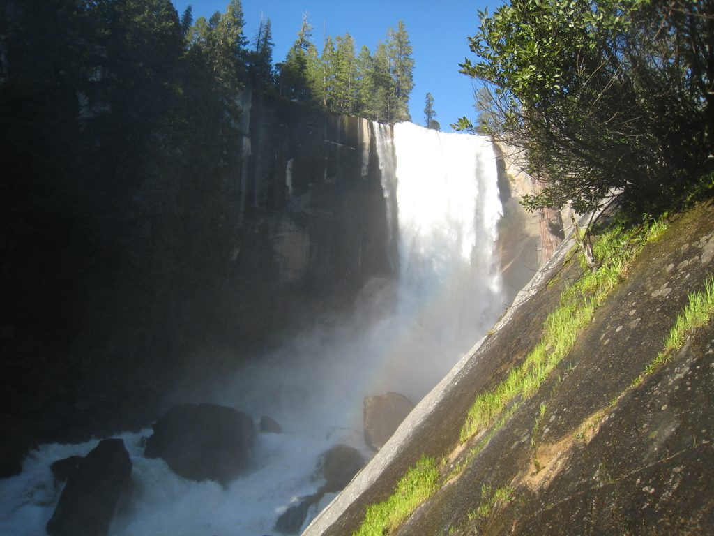
2.4 mi awayMist Trail to Vernal and Nevada FallsStairmaster to two thunderous falls, with a gentler JMT descentChallenging · 6.4 mi · 5 hr