Overview
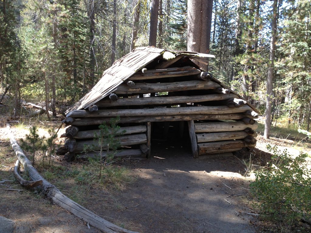
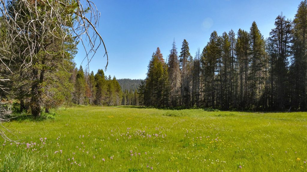
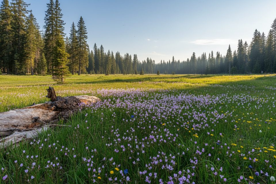
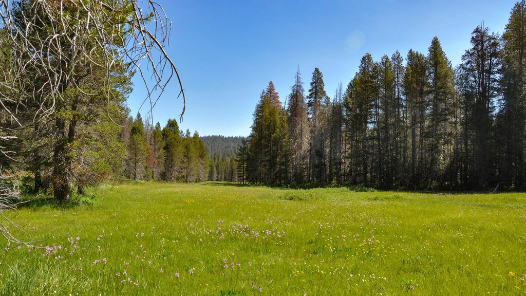
McGurk Meadow is a serene, subalpine meadow off Glacier Point Road—think butterflies, a meandering stream, and broad, golden-green grasses framed by forest. It’s a mellow outing that feels worlds away from the Valley bustle, and it even passes the site of historic McGurk Cabin along the way.
Trail at a Glance
- Route: Out-and-back
- Distance: About 1.6 miles round-trip to the meadow (easy stroll with a gentle climb back)
- Effort: Easy; the trail drops to the meadow and you regain that elevation on the return
- Surface: Forest singletrack and a short boardwalk across sensitive meadow sections
What You’ll See
- Wildflowers: Prime bloom is typically July into early August, with paintbrush and lupine among the seasonal highlights.
- History: The trail passes the site of John McGurk’s old sheepherder cabin—a simple, photogenic slice of Yosemite’s ranching past.
- Wildlife: Expect deer and butterflies; hikers occasionally report distant black bear sightings. A small stream runs through the meadow and can hold tiny trout.
Season & Conditions
- Early season (late spring): Expect lingering snow patches and wet, muddy trail segments.
- Mid-summer: Best for wildflowers—and for mosquitoes. Bring repellent.
- Late summer: Blooms fade and some stretches past the bridge can feel a bit overgrown.
- Winter: Glacier Point Road closes; you won’t be able to drive to the trailhead.
Best Times to Visit
- Time of day: Start early for cooler temps, easier parking, and fewer mosquitoes during wildflower season.
- Time of year: July is the sweet spot for blooms (snowpack will shift the timing a bit). Late July/early August can still be good in many years.
Getting There & Logistics
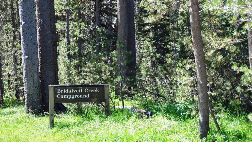
- Location: The signed trailhead is on Glacier Point Road, roughly 0.2 miles west of the Bridalveil Creek Campground turnoff. The trail begins right at the road sign; parking is a nearby roadside pullout.
- Facilities: Don’t count on restrooms or potable water here. Carry what you need and treat any natural sources before drinking.
- Leave No Trace: Stay on the trail and boardwalk to protect fragile meadow plants. Store all scented items out of sight in your vehicle and never feed wildlife.
Extensions for More Views
Want bigger scenery? Continue to the Pohono Trail. Dewey Point via McGurk is about 8.2 miles round-trip with ~750 feet of gain, delivering classic Valley-rim vistas. Eastward options lead toward Bridalveil Creek, Taft Point, Sentinel Dome, and even Glacier Point if you’re linking day hikes.
Backpacking Notes
Overnighters need a Yosemite wilderness permit. Many backpackers base near Dewey Point for rim views; regulations can change, so confirm current rules when you pick up your permit.
Quick Take
If you’re chasing a peaceful Yosemite hour with seasonal flowers and a dose of history—without the elbow-to-elbow crowds—this is a lovely, low-effort payoff.