
Place · 0 mi away
Moderate
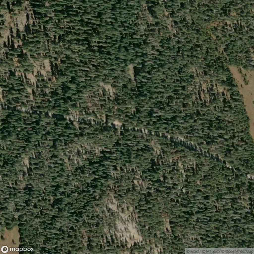
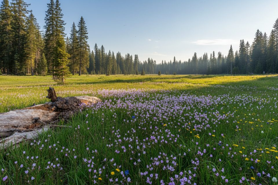
This is a moderate, out-and-back day hike to one of Yosemite’s best valley-rim viewpoints without the usual crowds. It’s about 7.8 miles total from the McGurk Meadow trailhead to Dewey Point and back, with roughly 750–900+ feet of cumulative gain depending on device and route tracking. Expect a mellow forest-and-meadow approach capped by a dramatic reveal: El Capitan dominating the left skyline with Half Dome and Cathedral Rocks anchoring the panorama. If you like big views earned on a quieter path, this is your move.
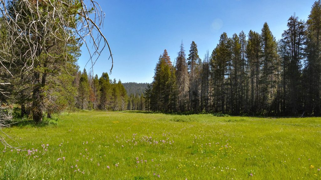
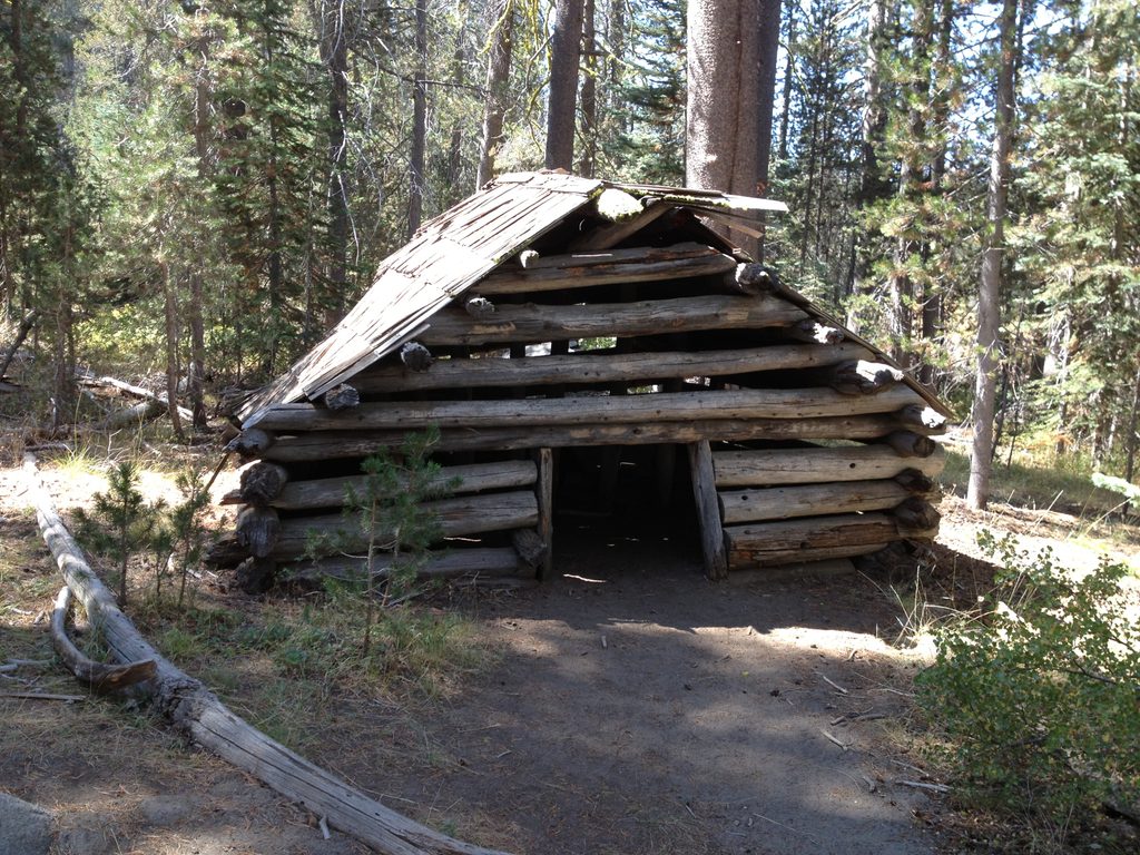
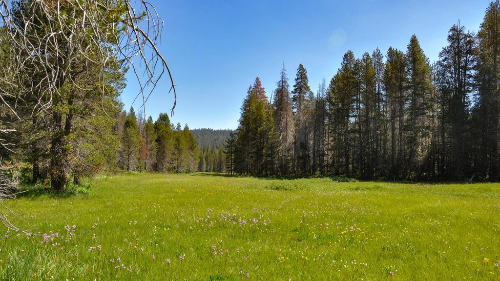
From the signed McGurk Meadow trailhead on Glacier Point Road, descend through shaded forest to broad, flower-filled McGurk Meadow and the old cabin site. Continue about a mile to the junction with the Pohono Trail and turn left (west) toward Dewey Point. The final couple of miles undulate and gradually climb before the trees part at the rim. On the return, that initial downhill becomes a noticeable uphill back to the road. Expect good shade overall, a few brushy sections later in the season, and occasional muddy or patchy-snow stretches early season.
Go when Glacier Point Road is open (typically late spring through fall). June–July brings peak wildflowers in McGurk Meadow; summer afternoons can be warm with mosquitoes near water, so start early. In early season (May/early June), lingering snow or mud is possible. In winter, Dewey Point is a popular cross-country ski and snowshoe destination from Badger Pass via a groomed road—use snowshoes if not skiing and stay off set ski tracks.
Carry enough water; there’s no reliable potable source on this route. Bring sun protection despite the forested stretches, and pack a wind layer—the rim can be gusty. Wildlife is active (deer are common; bears are possible); secure food and know that bear spray is not permitted in the park. If you’re still itching for views, continue along the rim to Crocker or Stanford Points, or plan a shuttle for a longer point-to-point on the Pohono. Parking is simpler here than at the marquee viewpoints, but it still pays to arrive early for cooler temps and easier roadside space.
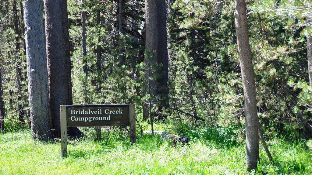
Roadside shoulder parking by the signed McGurk Meadow trailhead on Glacier Point Road, roughly 0.2 miles west of the Bridalveil Creek Campground turnoff; no formal lot.
Expect mosquitoes near the meadow in summer, early-season mud or patchy snow, brushy sections, a windy rim, and a tiring uphill finish. Store food properly; bear spray is not permitted.
Place · 0 mi away
Place · 0 mi away
Place · 0.6 mi away
Place · 1.3 mi away
Easy · 0 mi away
Challenging · 2.4 mi away
Easy · 2.4 mi away
Easy · 3.4 mi away

Parkwolf Tour Guide
