
Place · 0 mi away
Challenging
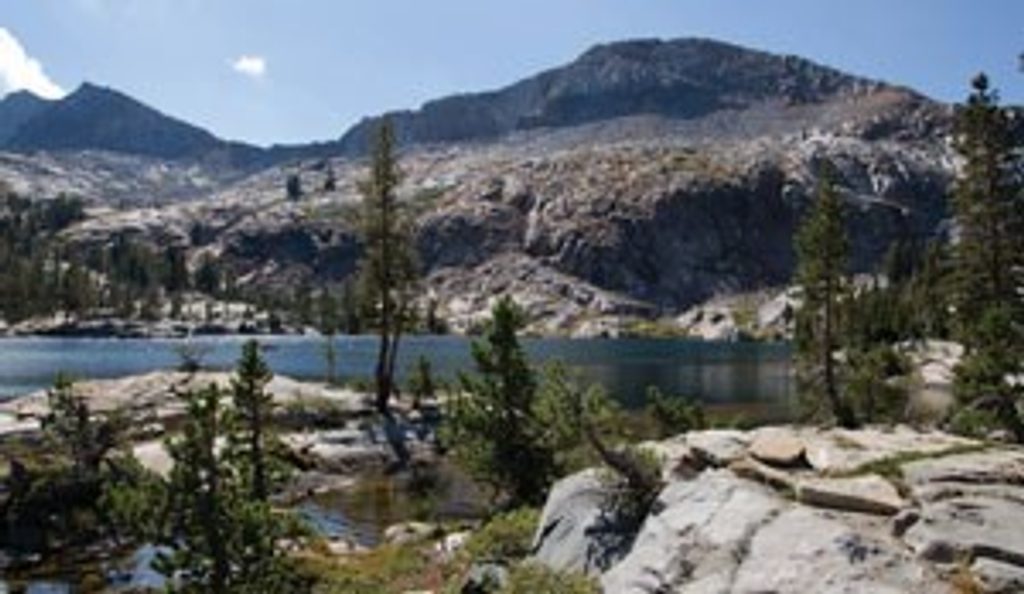
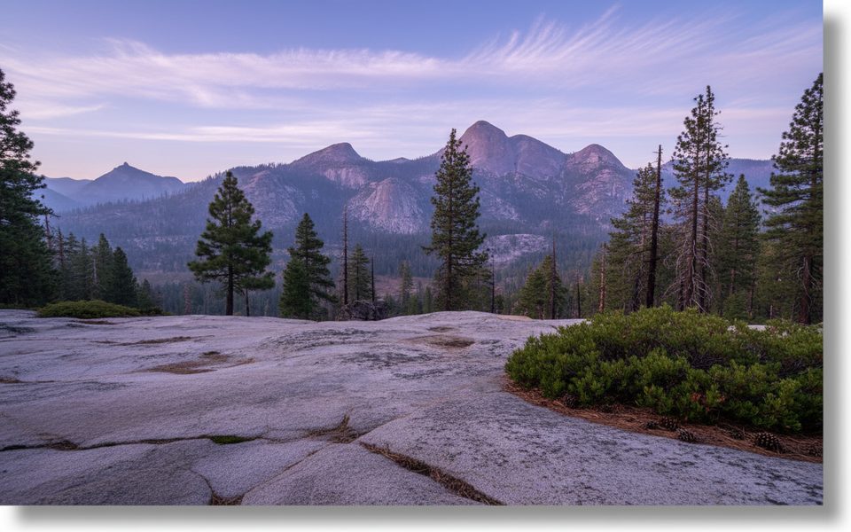
This is Yosemite’s grand, remote backpacking classic: roughly 50 miles total through the Clark Range with big alpine views, granite stairs, sparkling lakes, and long stretches of true solitude. The loop crests Red Peak Pass (11,078 feet), the highest point in the park you can reach by trail, then dives into the Merced River watershed with waterfalls and swim-worthy pools. It’s strenuous and committing—expect sustained climbs, altitude, and real backcountry travel—but the payoff is enormous if you’re ready for it.
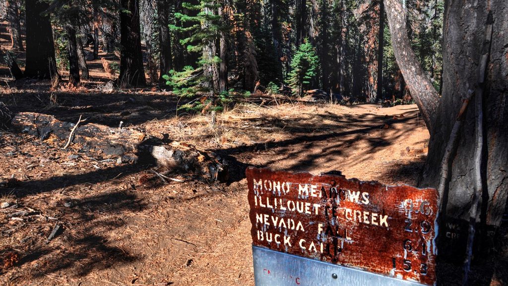
Most hikers start at Mono Meadow or Glacier Point, with variants that begin or end at Happy Isles. A common counter-clockwise flow: Illilouette Creek → Lower/Upper Ottoway Lakes → Red Peak Pass → Triple Peak Fork → Washburn Lake → Merced Lake → Little Yosemite Valley → climb back to close the loop. Highlights include the Ottoway Lakes basin, the airy traverse over Red Peak Pass, and long, scenic miles along the Merced. Strong parties can fit this into 4–5 days, but 5–6 days lets you actually enjoy the camps and water stops.
Solitude is a defining feature—expect far fewer people than Yosemite’s marquee day hikes.
This loop is advanced/strenuous due to distance, elevation, and remoteness. Early season snow often lingers on the north side of Red Peak Pass; traction and poles can be very helpful, and careful route-finding may be required when snow obscures the tread. Bridges can be out or damaged after storms, downed trees are possible, and some upper or southern stretches—especially along the Illilouette later in summer—can have scarce water. Mosquitoes can be intense in mid-summer around 7,000–9,000 feet and near standing water.
Late summer into early fall is the sweet spot. The Clark Range melts out later than much of the park, and September typically brings the most stable weather. Earlier in the season you may encounter snowfields; later in the fall, early snowstorms are very possible, especially in October. Aim for a shoulder-week timeframe to maximize dry trail, open water sources, and fewer bugs.
A Yosemite wilderness permit is required, reserved by entry trailhead under nightly quotas. Reservations use a split release: some permits are available 24 weeks ahead, with the rest released closer to the date. You must pick up your permit in the park. Approved bear canisters are mandatory for all overnights, and backpackers campgrounds are available the night before/after with a valid wilderness permit. Planning a Half Dome side trip? You need to add it to your permit ahead of time.
Popular stops include Lower/Upper Ottoway Lakes, the Triple Peak Fork area, Washburn Lake, Merced Lake, and Little Yosemite Valley. If you’re going counter-clockwise, reaching Ottoway before the pass makes for a smart staging night. Water is generally reliable along Illilouette Creek, Ottoway Creek/Lakes, and the Merced drainage, but always treat and confirm current conditions before heading out.
If you want Yosemite’s big-mountain feel without the crowds, and you’re comfortable with multi-day logistics, altitude, and self-reliance, this loop is a gem. If you’re short on time or new to backpacking at elevation, consider building up on shorter trips first or look at lower-commitment routes in the park.
Start at Mono Meadow, Glacier Point, or Happy Isles. Many hikers bus to Glacier Point and finish in Yosemite Valley near their parked car; pick up your wilderness permit at a park permit station before departure.
Expect early-season snow on the north side of Red Peak Pass, possible damaged or missing bridges, downed trees, intense mosquitoes mid-summer, and late-season water scarcity on some upper stretches. Weather can shift fast; October snowstorms are possible.
Place · 0 mi away
Place · 2.1 mi away
Place · 2.4 mi away
Place · 2.4 mi away
Easy · 0 mi away
Moderate · 2.4 mi away
Easy · 2.4 mi away
Easy · 2.8 mi away

Parkwolf Tour Guide
